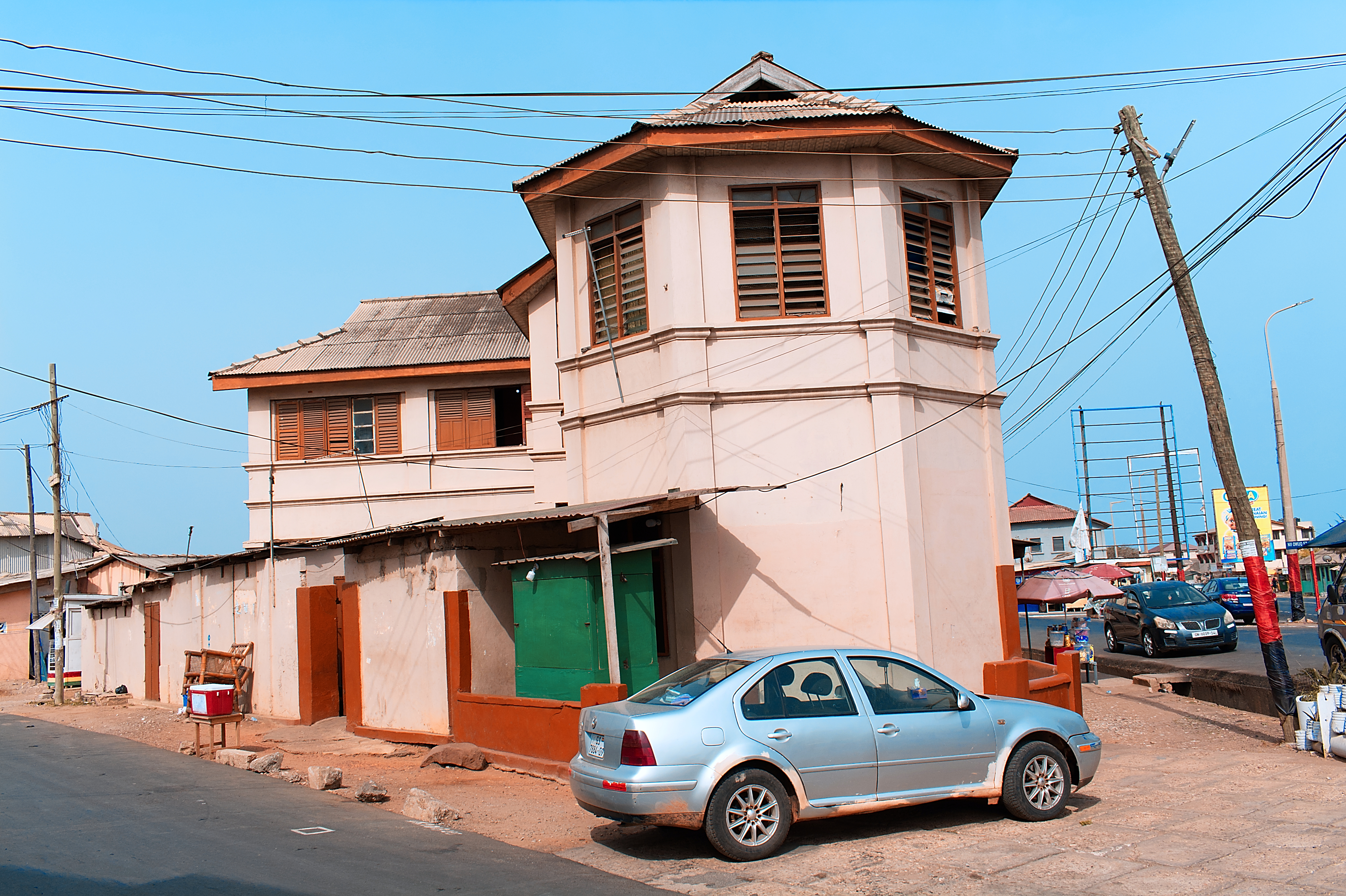
Osu, Accra on:
[Wikipedia]
[Google]
[Amazon]

 Located about east of the central business district, Osu is a neighborhood in central Accra, Ghana. It is locally known as the "West End" of Accra. Bounded to the south by the Gulf of Guinea, Osu's western boundary is the Independence Avenue. Osu is separated from the northern district of
Contact us
." Starbow. Retrieved on 6 May 2013. "832 First Street Adjacent to the Salvation Army Territorial Headquarters Osu, Accra"

 Located about east of the central business district, Osu is a neighborhood in central Accra, Ghana. It is locally known as the "West End" of Accra. Bounded to the south by the Gulf of Guinea, Osu's western boundary is the Independence Avenue. Osu is separated from the northern district of
 Labone
Labone is a district of Accra, Ghana bounded to the south by Labadi Road. Cantonments Road serves as the district's western boundary, while Labadi Crescent is the eastern boundary. The Ring road separates Labone from the southern district of Os ...
by Ring Road.
Due to its establishment as a settlement in the 17th century, Osu has a mix of houses dating from the early 20th century and modern office towers. Ringway Estates, a gated residential community between Gamel Abdul Nasser Avenue and Cantonments Road is located in the western section of Osu.
The main thoroughfare, Cantonments Road (colloquially known as Oxford Street) has large supermarkets and appliance shops. At its southern end is the site of the 17th-century Fort Christiansborg, a former Danish colonial fort, which formerly housed the seat of government before being relocated to Golden Jubilee House.
Economy
The head office of Starbow is in Osu.." Starbow. Retrieved on 6 May 2013. "832 First Street Adjacent to the Salvation Army Territorial Headquarters Osu, Accra"
Landmarks/places of interest
* Accra International Conference Center * Accra Ridge Church * Accra Sports Stadium * Black Star Square * Ebenezer Presbyterian Church, Osu * Independence Arch *Osu Castle
Osu Castle (also known as Fort Christiansborg or the Castle) is a castle located in Osu, Ghana on the coast of the Gulf of Guinea in Africa.
A substantial fort was built by Denmark-Norway in the 1660s, thereafter the fort changed ownership ...
(also known as Fort Christiansborg)
* Parliament House of Ghana
* Ridge Church School
* Greater Accra Regional Hospital
References
External links
* {{Commons category-inline Geography of Ghana Accra