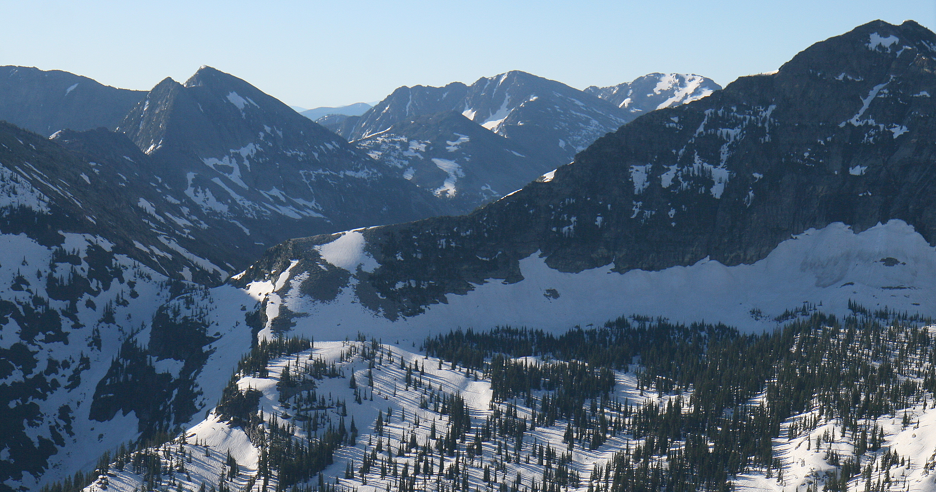
Ojibway Peak on:
[Wikipedia]
[Google]
[Amazon]
Ojibway Peak is a mountain summit located on the border shared by
''Decisions of the United States Geographic Board''
U.S. Government Printing Office, (1923), p. 21.

weather forecast
* Ojibway Peak (photo)
Flickr
* Ojibway Peak rock climbing
Mountainproject.com
{{Geographic Location 2 , Center = Ojibway Peak , North = Elephant Peak , Northeast = Libby Creek , East = Twin Peaks , Southeast = Flat Top Mountain , South = Engle Peak , Southwest = Rock Creek , West = Rock Peak , Northwest = Saint Paul Peak Rocky Mountains Mountains of Sanders County, Montana Mountains of Lincoln County, Montana Mountains of Montana North American 2000 m summits Kootenai National Forest
Lincoln
Lincoln most commonly refers to:
* Abraham Lincoln (1809–1865), the sixteenth president of the United States
* Lincoln, England, cathedral city and county town of Lincolnshire, England
* Lincoln, Nebraska, the capital of Nebraska, U.S.
* Lincol ...
and Sanders counties in Montana
Montana () is a state in the Mountain West division of the Western United States. It is bordered by Idaho to the west, North Dakota and South Dakota to the east, Wyoming to the south, and the Canadian provinces of Alberta, British Columb ...
.
Description
Ojibway Peak is located south of Libby, Montana, in the Cabinet Mountains Wilderness, on land managed byKaniksu National Forest
The Kaniksu National Forest (pronounced "Kuh-NICK-su") is a U.S. National Forest located in northeastern Washington, the Idaho Panhandle, and northwestern Montana. It is one of three forests that are aggregated into the Idaho Panhandle National ...
and Kootenai National Forest. It is set west of the Continental Divide in the Cabinet Mountains
The Cabinet Mountains are part of the Rocky Mountains, located in northwest Montana and the Idaho panhandle, in the United States. The mountains cover an area of 2,134 square miles (5,527 km2). The Cabinet Mountains lie south of the Purcell M ...
which are a subrange of the Rocky Mountains
The Rocky Mountains, also known as the Rockies, are a major mountain range and the largest mountain system in North America. The Rocky Mountains stretch in straight-line distance from the northernmost part of western Canada, to New Mexico ...
. Precipitation runoff from the mountain's east slope drains into Libby Creek which is a tributary of the Kootenai River, whereas the west slope drains into Rock Creek which is a tributary of the Clark Fork River. Topographic relief
Terrain or relief (also topographical relief) involves the vertical and horizontal dimensions of land surface. The term bathymetry is used to describe underwater relief, while hypsometry studies terrain relative to sea level. The Latin w ...
is significant as the summit rises over above Rock Creek in one mile (1.6 km) and above Rock Lake in 0.6 mile (1 km). The mountain's toponym was officially adopted in 1923 by the U.S. Board on Geographic Names
The United States Board on Geographic Names (BGN) is a federal body operating under the United States Secretary of the Interior. The purpose of the board is to establish and maintain uniform usage of geographic names throughout the federal govern ...
and the name is a Native American word.U.S. Government Printing Office, (1923), p. 21.

Climate
Based on theKöppen climate classification
The Köppen climate classification is one of the most widely used climate classification systems. It was first published by German-Russian climatologist Wladimir Köppen (1846–1940) in 1884, with several later modifications by Köppen, notabl ...
, Ojibway Peak is located in a subarctic climate zone characterized by long, usually very cold winters, and cool to mild summers. Winter temperatures can drop below −10 °F with wind chill factors below −30 °F.
See also
*Geology of the Rocky Mountains
The geology of the Rocky Mountains is that of a discontinuous series of mountain ranges with distinct geological origins. Collectively these make up the Rocky Mountains, a mountain system that stretches from Northern British Columbia through cen ...
*
References
External links
* Ojibway Peakweather forecast
* Ojibway Peak (photo)
Flickr
* Ojibway Peak rock climbing
Mountainproject.com
{{Geographic Location 2 , Center = Ojibway Peak , North = Elephant Peak , Northeast = Libby Creek , East = Twin Peaks , Southeast = Flat Top Mountain , South = Engle Peak , Southwest = Rock Creek , West = Rock Peak , Northwest = Saint Paul Peak Rocky Mountains Mountains of Sanders County, Montana Mountains of Lincoln County, Montana Mountains of Montana North American 2000 m summits Kootenai National Forest