|
Lincoln County, Montana
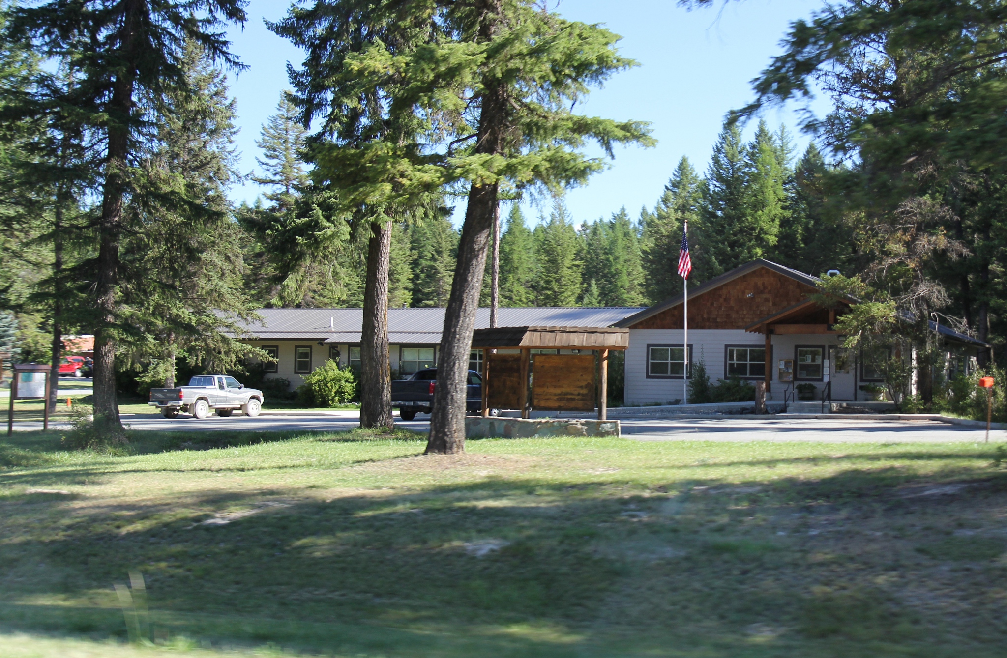
Lincoln County is a county located in the U.S. state of Montana. As of the 2020 census, the population was 19,677. Its county seat is Libby. The county was founded in 1909 and named for President Abraham Lincoln. The county lies on Montana's north border and thus shares the US-Canadian border with the Canadian province of British Columbia. This heavily wooded and mountainous county once was part of Flathead County until residents of Libby and Eureka petitioned the state legislature for separation. Libby won an election over Eureka to host the county seat. Geography According to the United States Census Bureau, the county has a total area of , of which is land and (1.7%) is water. The county borders the Canadian province of British Columbia to the north. The lowest point in the state of Montana is located on the Kootenai River in Lincoln County, where it flows out of Montana and into Idaho. Upstream, Libby Dam backs up huge Lake Koocanusa (combination name of Kootenai, Cana ... [...More Info...] [...Related Items...] OR: [Wikipedia] [Google] [Baidu] |
Abraham Lincoln
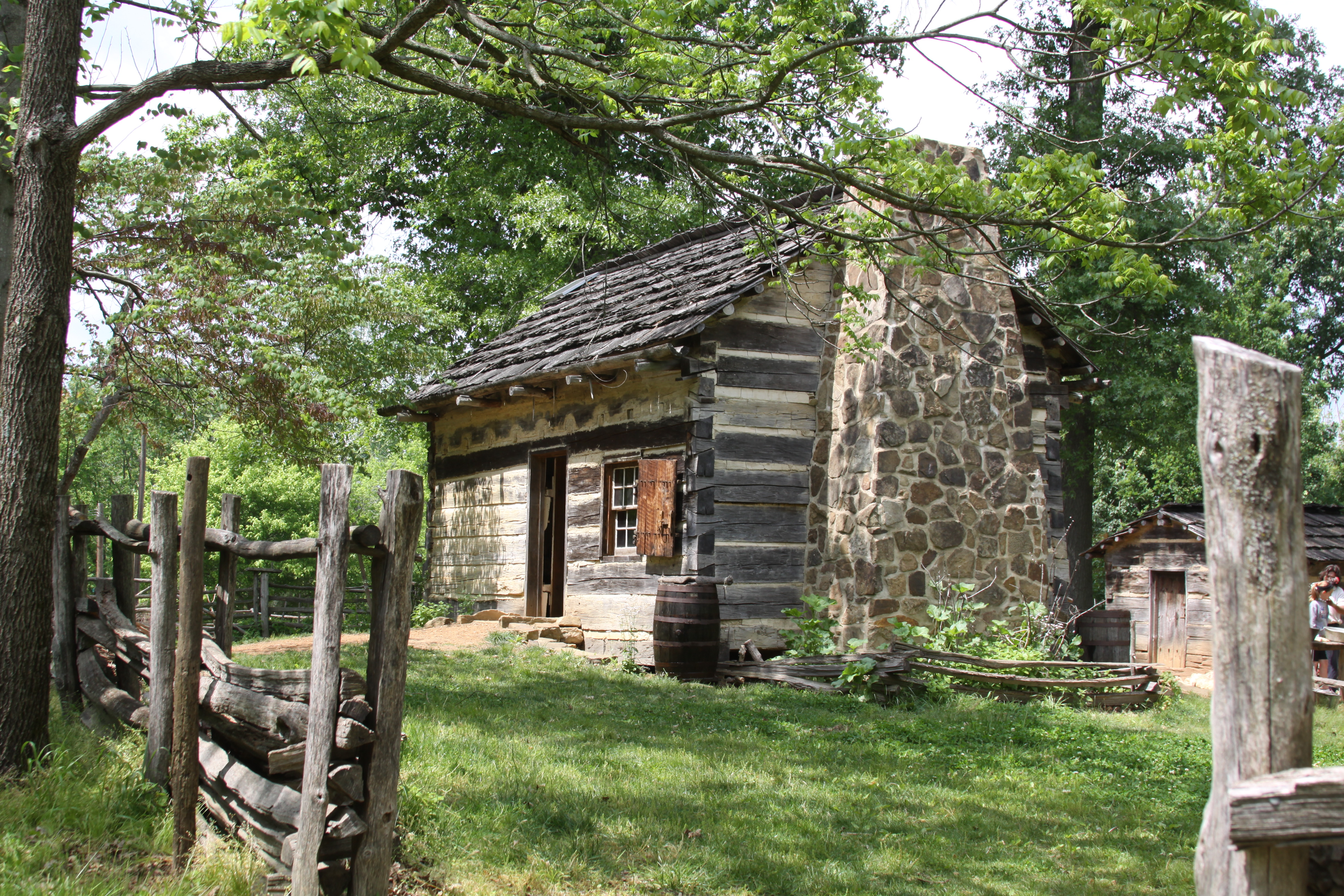
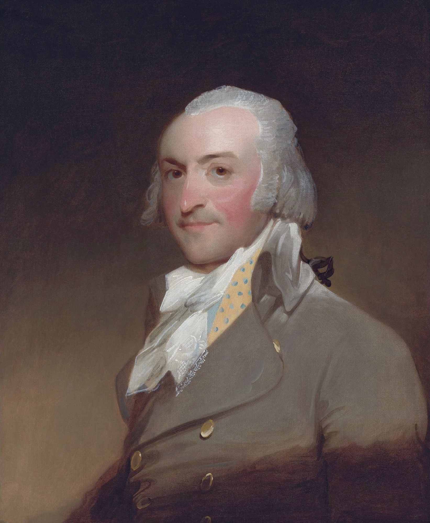
Abraham Lincoln ( ; February 12, 1809 – April 15, 1865) was an American lawyer, politician, and statesman who served as the 16th president of the United States from 1861 until his assassination in 1865. Lincoln led the nation through the American Civil War and succeeded in preserving the Union, abolishing slavery, bolstering the federal government, and modernizing the U.S. economy. Lincoln was born into poverty in a log cabin in Kentucky and was raised on the frontier, primarily in Indiana. He was self-educated and became a lawyer, Whig Party leader, Illinois state legislator, and U.S. Congressman from Illinois. In 1849, he returned to his successful law practice in central Illinois. In 1854, he was angered by the Kansas–Nebraska Act, which opened the territories to slavery, and he re-entered politics. He soon became a leader of the new Republican Party. He reached a national audience in the 1858 Senate campaign debates against Stephen A. Douglas. ... [...More Info...] [...Related Items...] OR: [Wikipedia] [Google] [Baidu] |
Sanders County, Montana
Sanders County is a county in the U.S. state of Montana. As of the 2020 census, the population was 12,400. Its county seat is Thompson Falls. The county was founded in 1905. It has an annual county fair with rodeo at Plains. Geography According to the United States Census Bureau, the county has a total area of , of which is land and (1.1%) is water. Sanders County lies on the state's western border; thus it shares the border with Idaho to the west. It is part of the Coeur d'Alene Mountains in the Bitterroot Range. The Clark Fork River flows southeast to northwest through the middle of the county, with the Bitterroot Mountains to the south and the Cabinet Mountains to the north. It is partially arid, with the west-facing mountain slopes capturing the most rain: ranging from nearly 40 inches a year in Heron (similar to Seattle's annual precipitation) on the Western end of the county to less than 12 inches per year in Dixon on the East end. During the last ice age, this ... [...More Info...] [...Related Items...] OR: [Wikipedia] [Google] [Baidu] |
Norwegian Americans
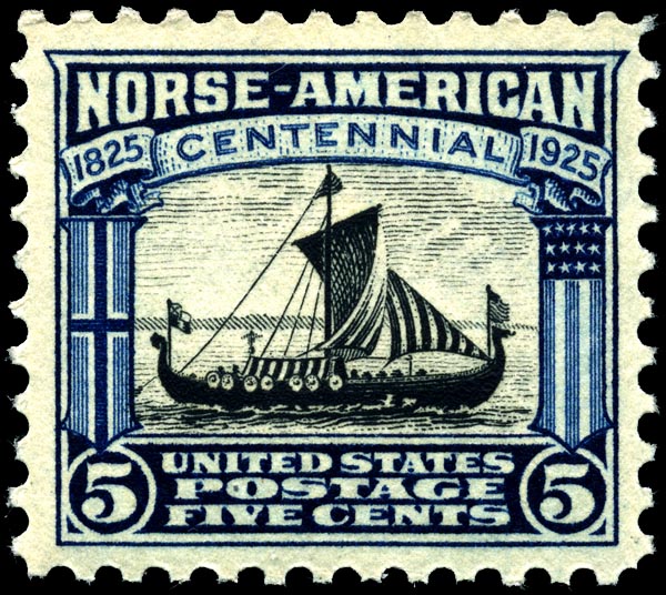
Norwegian Americans ( nb, Norskamerikanere, nn, Norskamerikanarar) are Americans with ancestral roots in Norway. Norwegian immigrants went to the United States primarily in the latter half of the 19th century and the first few decades of the 20th century. There are more than 4.5 million Norwegian Americans, according to the 2021 U.S. census,; most live in the Upper Midwest and on the West Coast of the United States. Immigration Viking-era exploration Norsemen from Greenland and Iceland were the first Europeans to reach North America. Leif Erikson reached North America via Norse settlements in Greenland around the year 1000. Norse settlers from Greenland founded the settlement of L'Anse aux Meadows and Point Rosee in Vinland, in what is now Newfoundland, Canada. These settlers failed to establish a permanent settlement because of conflicts with indigenous people and within the Norse community. Colonial settlement The Netherlands, and especially the cities of Amsterdam and ... [...More Info...] [...Related Items...] OR: [Wikipedia] [Google] [Baidu] |
American Ancestry
American ancestry refers to people in the United States who self-identify their ancestral origin or descent as "American," rather than the more common officially recognized racial and ethnic groups that make up the bulk of the American people. The majority of these respondents are visibly White Americans, who either simply use this response as a political statement or are far removed from and no longer self-identify with their original ethnic ancestral origins. The latter response is attributed to a multitude of generational distance from ancestral lineages, and these tend be Anglo Americans of Scotch-Irish, English, or other British ancestries, as demographers have observed that those ancestries tend to be recently undercounted in U.S. Census Bureau American Community Survey ancestry self-reporting estimates. Although U.S. Census data indicates "American ancestry" is most commonly self-reported in the Deep South, the Upland South, and Appalachia, a far greater number of ... [...More Info...] [...Related Items...] OR: [Wikipedia] [Google] [Baidu] |
English Americans
English Americans (historically known as Anglo-Americans) are Americans whose ancestry originates wholly or partly in England. In the 2020 American Community Survey, 25.21 million self-identified as being of English origin. The term is distinct from British Americans, which includes not only English Americans but also Scottish, Scotch-Irish (descendents of Ulster Scots from Ulster, Ireland), Welsh, Cornish and Manx Americans from the whole of the United Kingdom. Demographers regard the reported number of English Americans as a serious undercount, as the index of inconsistency is high and many if not most Americans of English ancestry have a tendency to identify simply as "Americans" or if of mixed European ancestry, identify with a more recent and differentiated ethnic group. In the 1980 census, 49.6 million Americans claimed English ancestry. At 26.34%, this was the largest group amongst the 188 million people who reported at least one ancestry. The population was 226 m ... [...More Info...] [...Related Items...] OR: [Wikipedia] [Google] [Baidu] |
German Americans
German Americans (german: Deutschamerikaner, ) are Americans who have full or partial German ancestry. With an estimated size of approximately 43 million in 2019, German Americans are the largest of the self-reported ancestry groups by the United States Census Bureau in its American Community Survey. German Americans account for about one third of the total population of people of German ancestry in the world. Very few of the German states had colonies in the new world. In the 1670s, the first significant groups of German immigrants arrived in the British colonies, settling primarily in Pennsylvania, New York and Virginia. The Mississippi Company of France moved thousands of Germans from Europe to Louisiana and to the German Coast, Orleans Territory between 1718 and 1750. Immigration ramped up sharply during the 19th century. There is a "German belt" that extends all the way across the United States, from eastern Pennsylvania to the Oregon coast. Pennsylvania, with 3.5 millio ... [...More Info...] [...Related Items...] OR: [Wikipedia] [Google] [Baidu] |
Race (United States Census)
Race and ethnicity in the United States census, defined by the federal Office of Management and Budget (OMB) and the United States Census Bureau, are the Self-concept, self-identified categories of Race and ethnicity in the United States, race or races and ethnicity chosen by residents, with which they most closely identify, and indicate whether they are of Hispanic or Latino (demonym), Latino origin (the only Race and ethnicity in the United States, categories for ethnicity). The racial categories represent a social-political construct for the race or races that respondents consider themselves to be and, "generally reflect a social definition of race recognized in this country." OMB defines the concept of race as outlined for the U.S. census as not "scientific or anthropological" and takes into account "social and cultural characteristics as well as ancestry", using "appropriate scientific methodologies" that are not "primarily biological or genetic in reference." The race cat ... [...More Info...] [...Related Items...] OR: [Wikipedia] [Google] [Baidu] |
Population Density
Population density (in agriculture: standing stock or plant density) is a measurement of population per unit land area. It is mostly applied to humans, but sometimes to other living organisms too. It is a key geographical term.Matt RosenberPopulation Density Geography.about.com. March 2, 2011. Retrieved on December 10, 2011. In simple terms, population density refers to the number of people living in an area per square kilometre, or other unit of land area. Biological population densities Population density is population divided by total land area, sometimes including seas and oceans, as appropriate. Low densities may cause an extinction vortex and further reduce fertility. This is called the Allee effect after the scientist who identified it. Examples of the causes of reduced fertility in low population densities are * Increased problems with locating sexual mates * Increased inbreeding Human densities Population density is the number of people per unit of area, usuall ... [...More Info...] [...Related Items...] OR: [Wikipedia] [Google] [Baidu] |
2000 United States Census
The United States census of 2000, conducted by the Census Bureau, determined the resident population of the United States on April 1, 2000, to be 281,421,906, an increase of 13.2 percent over the 248,709,873 people enumerated during the 1990 census. This was the twenty-second federal census and was at the time the largest civilly administered peacetime effort in the United States. Approximately 16 percent of households received a "long form" of the 2000 census, which contained over 100 questions. Full documentation on the 2000 census, including census forms and a procedural history, is available from the Integrated Public Use Microdata Series. This was the first census in which a state – California – recorded a population of over 30 million, as well as the first in which two states – California and Texas – recorded populations of more than 20 million. Data availability Microdata from the 2000 census is freely available through the Integrated Public Use Microdata Serie ... [...More Info...] [...Related Items...] OR: [Wikipedia] [Google] [Baidu] |
Kootenai National Forest
The Kootenai National Forest is a national forest located in the far northwestern section of Montana and the northeasternmost lands in the Idaho panhandle in the United States, along the Canada–US border. Of the administered by the forest, less than 3 percent is located in the state of Idaho. Forest headquarters are located in Libby, Montana. There are local ranger district offices in Eureka, Fortine, Libby, Trout Creek, and Troy, Montana. About 53 percent of the Cabinet Mountains Wilderness is located within the forest, with the balance lying in neighboring Kaniksu National Forest. Snowshoe Peak in the Cabinet Mountains Wilderness, at , is the highest peak within the forest. Mountain ranges included in the forest include the Whitefish, Purcell, Bitterroot, Salish, and Cabinet ranges. The Pacific Northwest National Scenic Trail traverses the Forest. More than of the trail are within the Kootenai. The Kootenai and the Clark Fork rivers are the major ri ... [...More Info...] [...Related Items...] OR: [Wikipedia] [Google] [Baidu] |
Kaniksu National Forest
The Kaniksu National Forest (pronounced "Kuh-NICK-su") is a U.S. National Forest located in northeastern Washington, the Idaho Panhandle, and northwestern Montana. It is one of three forests that are aggregated into the Idaho Panhandle National Forests, along with the Coeur d'Alene National Forest and St. Joe National Forest. Kaniksu National Forest has a total area of . About 55.7% is in Idaho, 27.9% in Montana, and 16.4% in Washington. The name ''Kaniksu'' is from a Kalispel Indian word which means "black robe." It was used to refer to the Jesuit missionaries who brought their faith to North Idaho and Eastern Washington. History Kaniksu National Forest was established on July 1, 1908, from a portion of Priest River National Forest. On September 30, 1933, a portion of Pend Oreille National Forest was added, and on July 1, 1954, part of Cabinet National Forest was added. Kaniksu was administratively combined with Coeur d'Alene and St. Joe National Forests on July 1, 1973. ... [...More Info...] [...Related Items...] OR: [Wikipedia] [Google] [Baidu] |
Flathead National Forest
The Flathead National Forest is a national forest in the western part of the U.S. state of Montana. The forest lies primarily in Flathead County, south of Glacier National Park. The forest covers of which about is designated wilderness. It is named after the Flathead Native Americans who live in the area. Description The forest lies primarily in Flathead County (about 73% of its acreage), but smaller areas extend into five other counties. In descending order of land area they are Powell, Missoula, Lake, Lewis and Clark, and Lincoln counties. Forest headquarters are located in Kalispell, Montana. There are local ranger district offices in Bigfork, Hungry Horse, and Whitefish. The Flathead National Forest is bordered by Glacier National Park and Canada to the north, the Lewis and Clark National Forest and Glacier to the east, the Lolo National Forest to the south, and the Kootenai National Forest to the west. The wilderness areas in the forest are the Bob Marshall Wilde ... [...More Info...] [...Related Items...] OR: [Wikipedia] [Google] [Baidu] |


