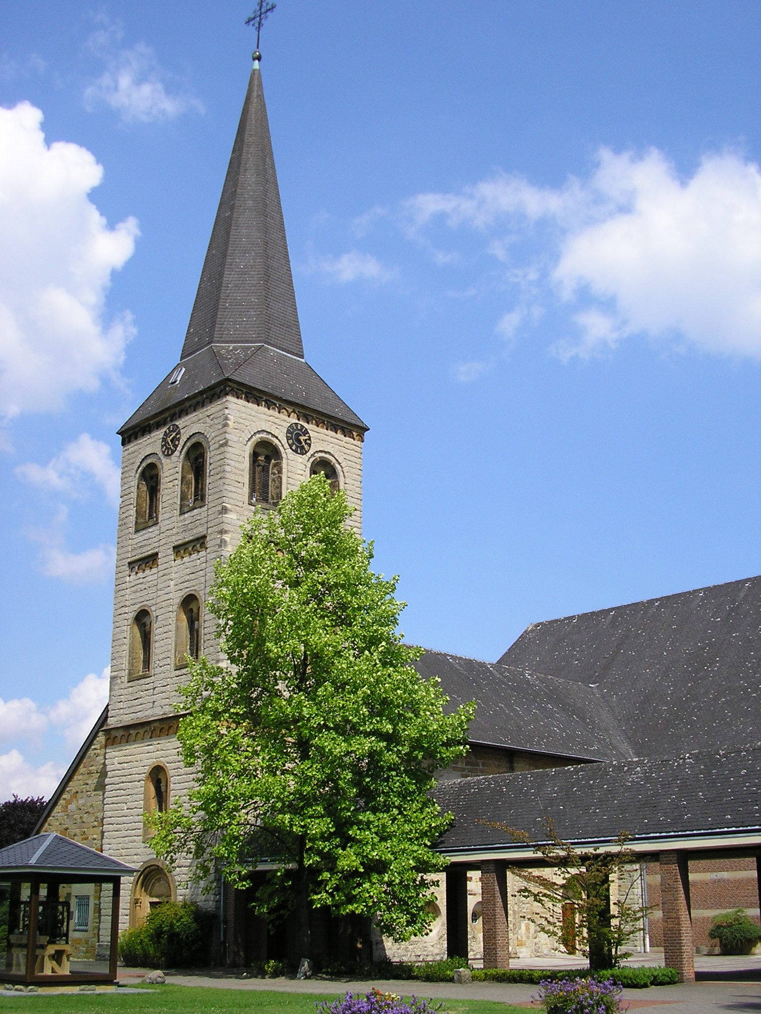
Oelde on:
[Wikipedia]
[Google]
[Amazon]
Oelde () is a town in the district of Warendorf, in North Rhine-Westphalia,
 Oelde consists of 5 districts:
* Oelde
* Stromberg
* Lette
* Sünninghausen
* Kirchspiel (with farming communities)
** Keitlinghausen
** Ahmenhorst
** Menninghausen
 The name Oelde was first mentioned in a document around 890 as "Ulithi im Dreingau" in the Urbar of the Werden monastery.
In 1457 a conflagration destroyed the city. In 1498, after the reconstruction, Oelde had 750 citizens. Another fire raged in 1605 and destroyed a total of 18 houses, barns and the town hall.
In 1939, Oelde was given its own exit when the motorway A 2 was built.
In the 1950s and 1960s, a high number of visitors came to Oelde when diplomats accepted the invitation of the Federal Presidents Heuss and Lübke to hunt small game in the state forest "Geisterholz". These events were commonly known as "diplomatic hunts."
In 2001 Oelde hosted one of the most important flower shows ever organized in Westphalia with more than 2.2 million visitors. Since then, the city garden, included in the exhibition grounds and embellished for the occasion, has been commercially exploited under the name "Park of the four seasons" (Vier-Jahreszeiten-Park).
 The Hamm–Minden railway connects Oelde station to the German rail network. The line is served by the Rhein-Weser-Express and the
Official site
Vier Jahreszeiten Park Oelde
European Garden Heritage Network
{{Warendorf-geo-stub
Germany
Germany, officially the Federal Republic of Germany (FRG),, is a country in Central Europe. It is the most populous member state of the European Union. Germany lies between the Baltic and North Sea to the north and the Alps to the sou ...
. It is located near Beckum.
Geography
Division of the town
Neighbouring places
The neighboring municipalities and cities are clockwise, starting in the north: * Beelen * Herzebrock-Clarholz * Rheda-Wiedenbrück * Langenberg * Wadersloh * Beckum *Ennigerloh
Ennigerloh () is a town in the district of Warendorf, in North Rhine-Westphalia, Germany. It is situated approximately 25 km northeast of Hamm and 30 km southeast of Münster.
The town, located in an agricultural area and with a well-p ...
International relations
Oelde istwinned
Twinning (making a twin of) may refer to:
* In biology and agriculture, producing two offspring (i.e., twins) at a time, or having a tendency to do so;
* Twin towns and sister cities, towns and cities involved in town twinning
* Twinning inst ...
with:
* Niesky
Niesky ( Sorbian and pl, Niska, cz, Nízké) is a small town in Upper Lusatia in eastern Saxony, Germany. It has a population of about 9,200 (2020) and is part of the district of Görlitz.
Historically considered part of Upper Lusatia, it was ...
(Saxony
Saxony (german: Sachsen ; Upper Saxon: ''Saggsn''; hsb, Sakska), officially the Free State of Saxony (german: Freistaat Sachsen, links=no ; Upper Saxon: ''Freischdaad Saggsn''; hsb, Swobodny stat Sakska, links=no), is a landlocked state of ...
, Germany
Germany, officially the Federal Republic of Germany (FRG),, is a country in Central Europe. It is the most populous member state of the European Union. Germany lies between the Baltic and North Sea to the north and the Alps to the sou ...
)
History
Economy
Oelde is a centre of metal and lumber production, publishing, and also higher education through its nursing college. It is also home to the headquarters of GEA (Westfalia Separator), a manufacturer of centrifuges and dairy machines and the headquarters of Haver & Boecker, a manufacturer of wire weaving.Transport
Roads
Oelde is connected to theBundesautobahn 2
is an autobahn in Germany that connects the Ruhr area in the west to Berlin in the east. The A 2 starts at the junction with the A3 near the western city of Oberhausen, passes through the north of the Ruhr valley, through the Münsterl ...
.
Railways
Ems-Börde-Bahn The Hellweg net consists of the four Regionalbahn lines in the German state of North Rhine-Westphalia: RB 50 (Münster Hauptbahnhof, Münster – Lünen Hauptbahnhof, Lünen – Dortmund Hauptbahnhof, Dortmund), RB 59 (Dortmund – Unna station, Unn ...
every hour.
References
External links
Official site
Vier Jahreszeiten Park Oelde
European Garden Heritage Network
{{Warendorf-geo-stub