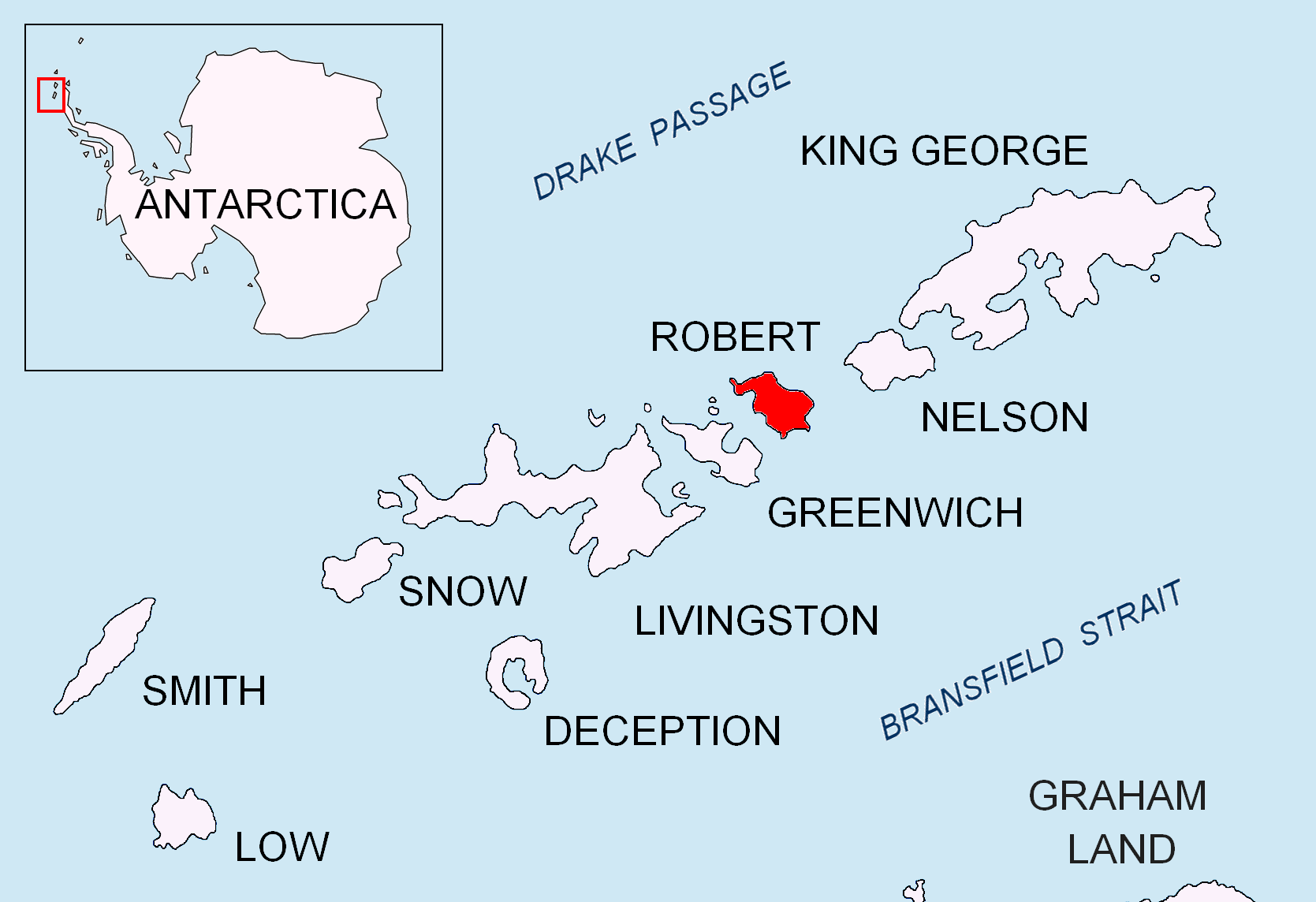
Misnomer Point on:
[Wikipedia]
[Google]
[Amazon]

 Misnomer Point is the ice-free tipped point projecting 400 m westwards from the northwest coast of
Antarctica: Livingston Island and Greenwich, Robert, Snow and Smith Islands
Scale 1:120000 topographic map. Troyan: Manfred Wörner Foundation, 2009.
SCAR Composite Antarctic Gazetteer
Headlands of Robert Island {{RobertIsland-geo-stub

 Misnomer Point is the ice-free tipped point projecting 400 m westwards from the northwest coast of
 Alfatar Peninsula
Alfatar Peninsula ( bg, полуостров Алфатар, poluostrov Alfatar, ) is a peninsula extending 4 km in northeast-southwest direction and 2.8 km wide, forming the northwest extremity of Robert Island, South Shetland Islands. ...
, Robert Island in the South Shetland Islands
The South Shetland Islands are a group of Antarctic islands with a total area of . They lie about north of the Antarctic Peninsula, and between southwest of the nearest point of the South Orkney Islands. By the Antarctic Treaty of 195 ...
, Antarctica
Antarctica () is Earth's southernmost and least-populated continent. Situated almost entirely south of the Antarctic Circle and surrounded by the Southern Ocean, it contains the geographic South Pole. Antarctica is the fifth-largest contine ...
and forming the east side of the entrance to Carlota Cove. The area was visited by early 19th century sealers Sealer may refer either to a person or ship engaged in seal hunting, or to a sealant; associated terms include:
Seal hunting
* Sealer Hill, South Shetland Islands, Antarctica
* Sealers' Oven, bread oven of mud and stone built by sealers around 180 ...
operating from Clothier Harbour
Clothier Harbour is the 1.5 km wide bay indenting for 1 km the north coast of Robert Island in the South Shetland Islands, Antarctica between Hammer Point on the northeast and Onogur Islands on the southwest. The harbour was used as a ...
.
The feature is named in reference to a previous misnaming when it was identified incorrectly on charts as 'Cornwall Point', a variant form of the name originally given to nearby Cornwall Island.
Location
The point is located at which is 1.9 km east-northeast of Fort William, 2.7 km south-southeast of Cornwall Island, 900 m south ofOnogur Islands
Onogur Islands ( bg, Оногурски острови, ‘Onogurski ostrovi’ \o-no-'gur-ski 'os-tro-vi\) is the group of nine islands and some islets and rocks adjacent to the northwest coast of Robert Island in the South Shetland Islands, Ant ...
, 3.55 km south-southwest of Hammer Point
Hammer Point is a rocky point projecting from the north coast of Robert Island in the South Shetland Islands, Antarctica into Drake Passage, and forming the southwest side of the entrance to Nevestino Cove and the northeast side of the entrance t ...
and 3.23 km north-northwest of Debelyanov Point
Debelyanov Point ( bg, Дебелянов нос, ‘Debelyanov Nos’ \de-be-'lya-nov 'nos\) is a point forming the northwest side of the entrance to Mitchell Cove in Robert Island, South Shetland Islands. Situated 2.8 km northwest of Neg ...
(British mapping in 1935, 1948, 1967 and 1968, Argentine in 1957, and Bulgarian in 2009).
See also
*Alfatar Peninsula
Alfatar Peninsula ( bg, полуостров Алфатар, poluostrov Alfatar, ) is a peninsula extending 4 km in northeast-southwest direction and 2.8 km wide, forming the northwest extremity of Robert Island, South Shetland Islands. ...
* Robert Island
Map
* L.L. IvanovAntarctica: Livingston Island and Greenwich, Robert, Snow and Smith Islands
Scale 1:120000 topographic map. Troyan: Manfred Wörner Foundation, 2009.
References
SCAR Composite Antarctic Gazetteer
Headlands of Robert Island {{RobertIsland-geo-stub