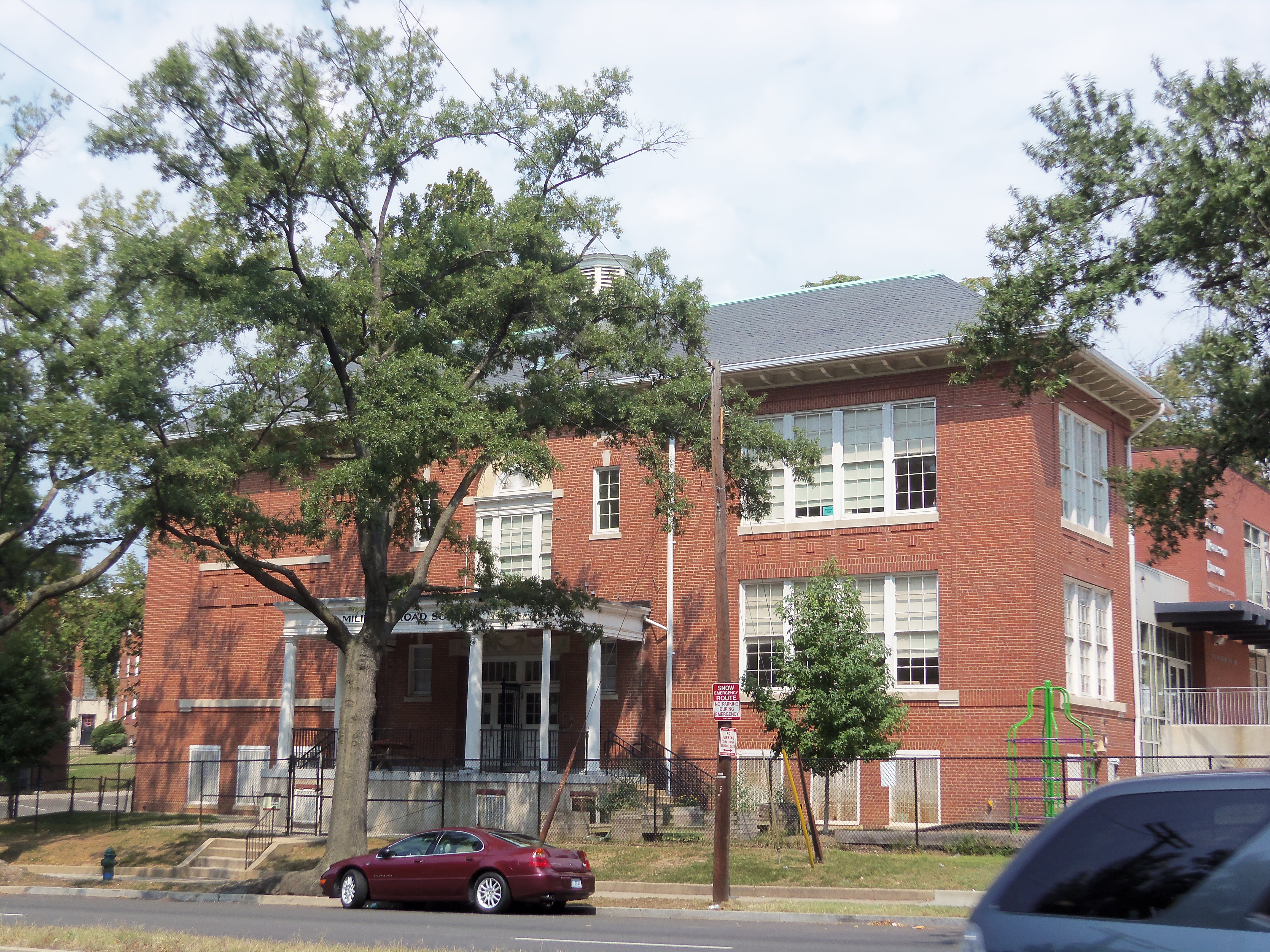
Military Road (Washington, D.C.) on:
[Wikipedia]
[Google]
[Amazon]
Military Road is a major east–west
 Military Road begins at the
collector road
A collector road or distributor road is a low-to-moderate-capacity road which serves to move traffic from local streets to arterial roads. Unlike arterials, collector roads are designed to provide access to residential properties. Rarely, juris ...
and limited-access road
A limited-access road, known by various terms worldwide, including limited-access highway, partial controlled-access highway, and expressway, is a highway or arterial road for high-speed traffic which has many or most characteristics of a contro ...
in the northwestern quadrant of Washington, D.C.
Washington, D.C., formally the District of Columbia and commonly known as Washington or D.C., is the capital city and federal district of the United States. The city is on the Potomac River, across from Virginia, and shares land borders with ...
, United States.
History
Military Road was constructed by the Union Army during theAmerican Civil War
The American Civil War (April 12, 1861May 26, 1865; also known by Names of the American Civil War, other names) was a civil war in the United States between the Union (American Civil War), Union ("the North") and the Confederate States of A ...
, intended to serve as a route connecting military forts in Northwest D.C. It also served as a second crossing over Rock Creek, with a bridge (now Joyce Road Bridge) constructed in 1929, as a bypass of the Milkhouse Road ford
Ford commonly refers to:
* Ford Motor Company, an automobile manufacturer founded by Henry Ford
* Ford (crossing), a shallow crossing on a river
Ford may also refer to:
Ford Motor Company
* Henry Ford, founder of the Ford Motor Company
* Ford F ...
that initially served as the only crossing in the area. Around 1960, a four-lane limited-access parkway bypass with a new bridge crossing Rock Creek was built, realigning Military Road from the original two-lane road across the creek.
Route
Maryland
Maryland ( ) is a U.S. state, state in the Mid-Atlantic (United States), Mid-Atlantic region of the United States. It borders the states of Virginia to its south, West Virginia to its west, Pennsylvania to its north, and Delaware to its east ...
border in Friendship Heights
Friendship Heights is an urban commercial and residential neighborhood in northwest Washington, D.C., and southern Montgomery County, Maryland. Though its borders are not clearly defined, Friendship Heights consists roughly of the neighborhoods ...
as a two-lane collector road
A collector road or distributor road is a low-to-moderate-capacity road which serves to move traffic from local streets to arterial roads. Unlike arterials, collector roads are designed to provide access to residential properties. Rarely, juris ...
and heads east through the neighborhood of Chevy Chase
Cornelius Crane "Chevy" Chase (; born October 8, 1943) is an American comedian, actor, and writer. He became the breakout cast member in the first season of ''Saturday Night Live'' (1975–1976), where his recurring ''Weekend Update'' segment b ...
where it intersects Connecticut Avenue
Connecticut Avenue is a major thoroughfare in the Northwest quadrant of Washington, D.C., and suburban Montgomery County, Maryland. It is one of the diagonal avenues radiating from the White House, and the segment south of Florida Avenue wa ...
halfway through the neighborhood. Once crossing Nebraska Avenue, Military Road widens to four lanes. Eventually, the road curves northeast, passes St. John's College High School
St. John's College High School (SJC, SJCHS, or St. John's) is a Catholic high school in Washington, D.C. Established in 1851, it is the third oldest Christian Brothers school in the United States, and was one of the oldest Army JROTC schools u ...
, and crosses Oregon Avenue then becomes a limited-access road through Rock Creek Park
Rock Creek Park is a large urban park that bisects the Northwest, Washington, D.C., Northwest quadrant of Washington, D.C. Created by Act of Congress in 1890, the park comprises 1,754 acres (2.74 mi2, 7.10 km2), generally along Rock Cr ...
. Through the park, Military Road has a partial trumpet interchange
In the field of road transport, an interchange (American English) or a grade-separated junction (British English) is a road junction that uses grade separations to allow for the movement of traffic between two or more roadways or highways, usi ...
with Joyce Road, crosses the creek, then forms a parclo interchange
A partial cloverleaf interchange or parclo is a modification of a cloverleaf interchange.
The design has been well received, and has since become one of the most popular freeway-to-arterial interchange designs in North America. It has also bee ...
with 16th Street NW
16th Street Northwest, briefly known as the Avenue of the Presidents, is a prominent north-south boulevard in Washington, D.C., located in Northwest (Washington, D.C.), Northwest D.C. The street was laid out as part of the 1791 L'Enfant Plan, whi ...
. At the eastern end of the parkway portion, Military Road intersects with 14th Street NW and becomes a general arterial road
An arterial road or arterial thoroughfare is a high-capacity urban road that sits below highway
A highway is any public or private road or other public way on land. It includes not just major roads, but also other public roads and rights o ...
, and shortly becomes Missouri Avenue
Missouri Avenue is a major diagonal west–east thoroughfare in the Northwest (Washington, D.C.), Northwest quadrant of Washington, D.C.
History
Until 1946, Missouri Avenue was named Concord Avenue and was renamed for Harry S. Truman's home st ...
, near the Military Road School, which continues east towards U.S. Route 29
U.S. Route 29 or U.S. Highway 29 (US 29) is a north–south United States Numbered Highway that runs for from Pensacola, Florida, to Ellicott City, Maryland, just west of Baltimore, Baltimore, Maryland, in the Eastern United Stat ...
.
Major intersections
References
{{reflist Streets in Washington, D.C.