Mandurang on:
[Wikipedia]
[Google]
[Amazon]
Mandurang, is a locality in the City of Greater Bendigo, in the 
Australia
Australia, officially the Commonwealth of Australia, is a Sovereign state, sovereign country comprising the mainland of the Australia (continent), Australian continent, the island of Tasmania, and numerous List of islands of Australia, sma ...
n state of Victoria. It grew and developed as a goldfield settlement and logging locality, though today mostly consists of small farms and wineries. Mandurang Primary School was opened in 1877 and closed in 1994. The name is derived from an Aboriginal word meaning black cicada.
It is south of Bendigo
Bendigo ( ) is a city in Victoria, Australia, located in the Bendigo Valley near the geographical centre of the state and approximately north-west of Melbourne, the state capital.
As of 2019, Bendigo had an urban population of 100,991, makin ...
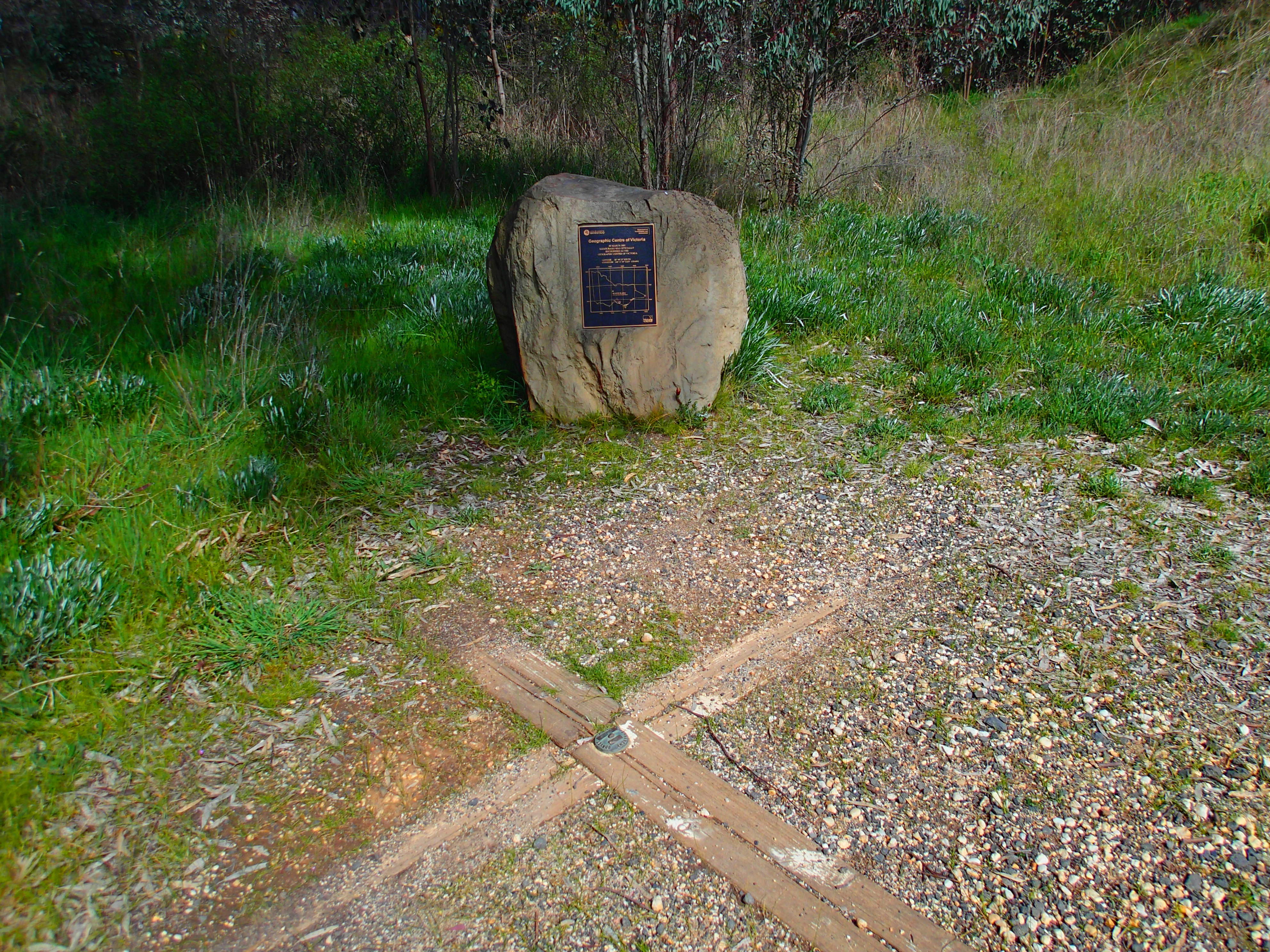
and is reputed by the government mapping agency, to be the geographic centre
In geography, the centroid of the two-dimensional shape of a region of the Earth's surface (projected radially to sea level or onto a geoid surface) is known as its geographic centre or geographical centre or (less commonly) gravitational centre. I ...
of Victoria at 36° 51' 15" S, 144° 16' 52" E. Mandurang is adjacent to the Greater Bendigo National Park
The Greater Bendigo National Park is a national park located in the Loddon Mallee region of Victoria, Australia. The national park was created in 2002 from the former Whipstick State Park, Kamarooka State Park, One Tree Hill Regional Park, Man ...
and was in the Victorian Electorate
Electorate may refer to:
* The people who are eligible to vote in an election, especially their number e.g. the term ''size of (the) electorate''
* The dominion of a Prince-elector in the Holy Roman Empire until 1806
* An electoral district
An ...
of Sandhurst, now known as Bendigo East.

References
Towns in Victoria (Australia) Bendigo Suburbs of Bendigo {{VictoriaAU-geo-stub