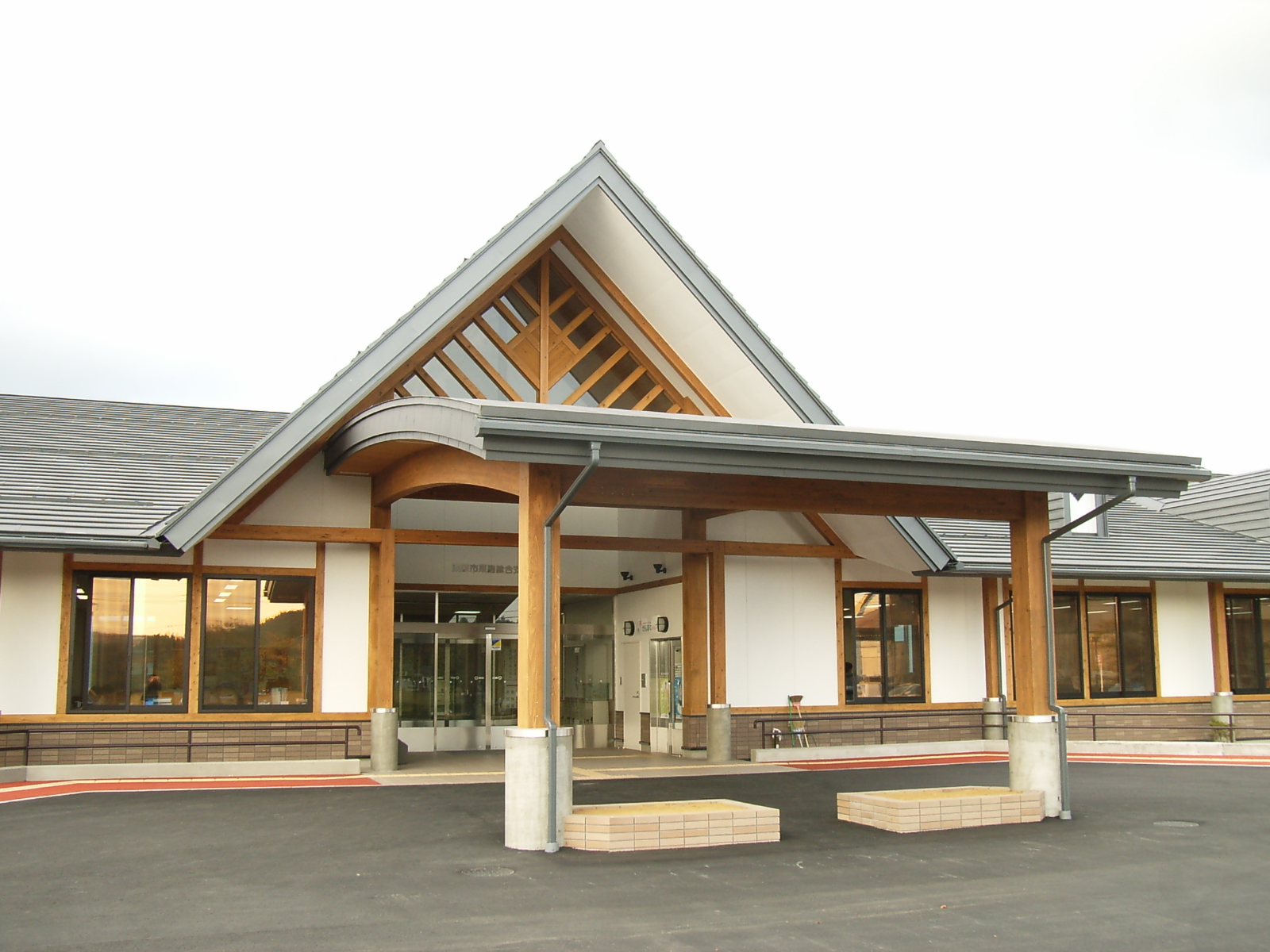
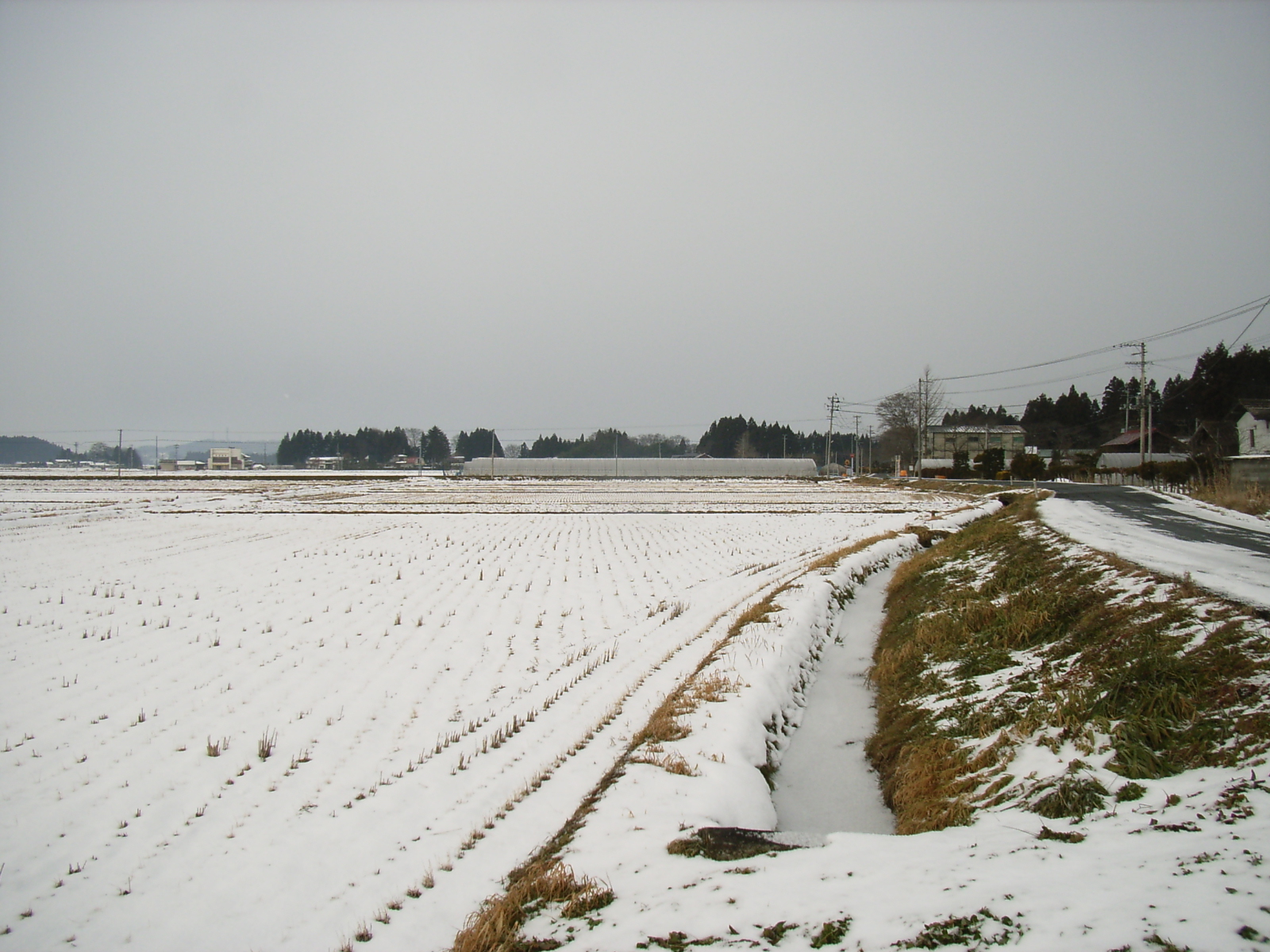
Kurikoma, Miyagi on:
[Wikipedia]
[Google]
[Amazon]
was a 

town
A town is a human settlement. Towns are generally larger than villages and smaller than cities, though the criteria to distinguish between them vary considerably in different parts of the world.
Origin and use
The word "town" shares an ori ...
in Kurihara District, Miyagi Prefecture
is a prefecture of Japan located in the T┼Źhoku region of Honshu. Miyagi Prefecture has a population of 2,305,596 (1 June 2019) and has a geographic area of . Miyagi Prefecture borders Iwate Prefecture to the north, Akita Prefecture to the nort ...
, Japan
Japan ( ja, µŚźµ£¼, or , and formally , ''Nihonkoku'') is an island country in East Asia. It is situated in the northwest Pacific Ocean, and is bordered on the west by the Sea of Japan, while extending from the Sea of Okhotsk in the north ...
. Established in 1955 with the consolidation of six municipalities, it was abolished in a merger forming the larger Kurihara
Kurihara City Hall
is a city located in Miyagi Prefecture, Japan. , the city had an estimated population of 66,565, and a population density of 83 persons per km2 in 24,994 households. The total area of the city is . Parts of the city are with ...
City in 2005. The municipal area was 244.36 km2 and the population was 13,736 in 2005.

Geography
Kurikoma was located on the northwest border ofMiyagi Prefecture
is a prefecture of Japan located in the T┼Źhoku region of Honshu. Miyagi Prefecture has a population of 2,305,596 (1 June 2019) and has a geographic area of . Miyagi Prefecture borders Iwate Prefecture to the north, Akita Prefecture to the nort ...
with Iwate Prefecture
is a prefecture of Japan located in the T┼Źhoku region of Honshu. It is the second-largest Japanese prefecture at , with a population of 1,210,534 (as of October 1, 2020). Iwate Prefecture borders Aomori Prefecture to the north, Akita Prefectur ...
and Akita Prefecture
is a Prefectures of Japan, prefecture of Japan located in the T┼Źhoku region of Honshu.Nussbaum, Louis-Fr├®d├®ric. (2005). "Provinces and prefectures" in ; "T┼Źhoku" in . Its population is approximately 966,000 (as of 1 October 2019) and its ge ...
.
Kurikoma covered a narrow eastŌĆōwest area. Mount Kurikoma sat at the northwest border with Iwate Prefecture
is a prefecture of Japan located in the T┼Źhoku region of Honshu. It is the second-largest Japanese prefecture at , with a population of 1,210,534 (as of October 1, 2020). Iwate Prefecture borders Aomori Prefecture to the north, Akita Prefectur ...
. It was the origin of the name of the municipality. The largest town of the area was Iwagasaki, which was 23 kilometers east of the mountain. Later Iwagasaki was often called Kurikoma because the municipal office was built there.
The western half of the municipality covered a part of the ┼īu Mountains
The are a mountain range in the T┼Źhoku region of Honsh┼½, Japan. The range is the longest range in Japan and stretches south from the Natsudomari Peninsula of Aomori Prefecture to the Nasu volcanoes at the northern boundary of the Kant┼Ź re ...
. This area is less populated but a ski and spa resort is located southeast of Mount Kurikoma. Two rivers, Nihasama and Sanhasama, run toward the southeast from the mountain. Both make valleys of 1 - 3 kilometers width on reaching the eastern area, which are mainly cultivated as rice fields. Iwagasaki is located on the north bank of Sanhasama River. Nihasama (Second Hasama), Sanhasama (Third Hasama) and Ichihasama (First Hasama) merge to form the Hasama River east of the former Kurikoma Town.
The eastern area was more populated than the west, but flatlands are limited to the above-mentioned valleys. The rest of the eastern half, especially almost all of the northeast quarter, was occupied by low hills of less than 500 meters height.

History
*April 1, 1955 - Kurikoma Town was established through the consolidation of Iwagasaki Town (Õ▓®ŃāČÕ┤Äńö║) and the villages of Omatsu (Õ░ŠµØŠµØæ), Toyasaki (ķ│źń¤óÕ┤ĵØæ), Monji (µ¢ćÕŁŚµØæ), Kurikoma (µĀŚķ¦ÆµØæ) and Himematsu (Õ¦½µØŠµØæ). *April 1, 2005 - Kurikoma Town was merged with the towns of Ichihasama (õĖĆĶ┐½ńö║), Uguisuzawa (ķČ»µ▓óńö║), Kannari (ķćæµłÉńö║), Shiwahime (Õ┐Śµ│óÕ¦½ńö║), Semine (ńĆ¼Õ│░ńö║), Takashimizu (ķ½śµĖģµ░┤ńö║), Tsukidate (ń»ēķż©ńö║), Wakayanagi (Ķŗźµ¤│ńö║) and the village ofHanayama
Hanayama is a Japanese toy company founded in 1933. They are best known for their metal disassembly puzzles " HUZZLE" series (also known as "CAST PUZZLE"), which include reproductions of older designs, and new puzzles by other inventors such as ...
(ĶŖ▒Õ▒▒µØæ) to form the new Kurihara
Kurihara City Hall
is a city located in Miyagi Prefecture, Japan. , the city had an estimated population of 66,565, and a population density of 83 persons per km2 in 24,994 households. The total area of the city is . Parts of the city are with ...
City (µĀŚÕĤÕĖé).
{{Authority control
Dissolved municipalities of Miyagi Prefecture
Kurihara, Miyagi