|
Kurihara, Miyagi
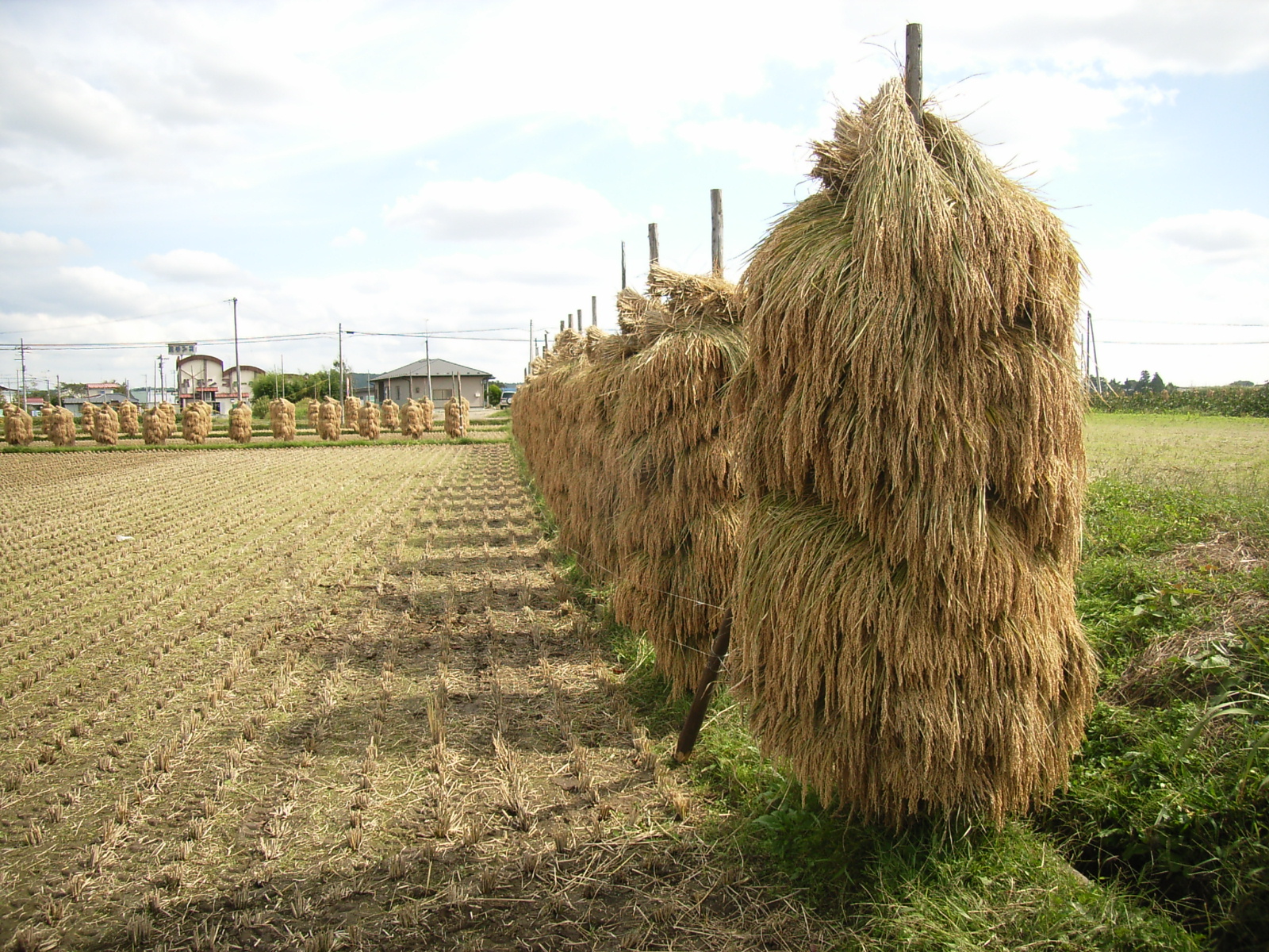
file:KuriharaShiyakusho2007-3.jpg, Kurihara City Hall is a Cities of Japan, city located in Miyagi Prefecture, Japan. , the city had an estimated population of 66,565, and a population density of 83 persons per km2 in 24,994 households. The total area of the city is . Parts of the city are within the borders of the Kurikoma Quasi-National Park. Geography Kurihara covers a part of the northwestern corner of Miyagi Prefecture. It is mostly rice farmland, and small mountain ridges, the largest of which cluster around Mount Kurikoma, the tallest mountain in Kurihara, which is located at the furthest northwestern point of Miyagi Prefecture. In summer, the lotus on Lake Izunuma bloom. In fall, Mount Kurikoma is covered in fall colors and in winter migrating swans and geese come in flocks to spend the season on Kurihara's lakes. Neighboring municipalities Akita Prefecture *Higashinaruse, Akita, Higashinaruse *Yuzawa, Akita, Yuzawa Iwate Prefecture *Ichinoseki, Iwate, Ichinoseki Miyagi ... [...More Info...] [...Related Items...] OR: [Wikipedia] [Google] [Baidu] |
Cities Of Japan
A is a local Public administration, administrative unit in Japan. Cities are ranked on the same level as and , with the difference that they are not a component of . Like other contemporary administrative units, they are defined by the Local Autonomy Law of 1947. City status Article 8 of the Local Autonomy Law sets the following conditions for a municipality to be designated as a city: *Population must generally be 50,000 or greater (原則として人口5万人以上) *At least 60% of households must be established in a central urban area (中心市街地の戸数が全戸数の6割以上) *At least 60% of households must be employed in commerce, industry or other urban occupations (商工業等の都市的業態に従事する世帯人口が全人口の6割以上) *Any other conditions set by prefectural ordinance must be satisfied (他に当該都道府県の条例で定める要件を満たしていること) The designation is approved by the prefectural governor and t ... [...More Info...] [...Related Items...] OR: [Wikipedia] [Google] [Baidu] |
Kurikoma Quasi-National Park
is a Quasi-National Park that covers parts of the Akita, Iwate, Miyagi, and Yamagata Prefectures in Japan. Established in 1968, the central feature of the park is the high . It is rated a protected landscape (category II) according to the IUCN. Like all Quasi-National Parks in Japan, the park is managed by the local prefectural governments. Related municipalities * Akita: Higashinaruse, Yuzawa * Iwate: Ichinoseki, Kanegasaki, Kitakami, Nishiwaga, Ōshū * Miyagi: Kurihara, Ōsaki * Yamagata: Kaneyama, Mogami, Shinjō See also * National Parks of Japan National may refer to: Common uses * Nation or country ** Nationality – a ''national'' is a person who is subject to a nation, regardless of whether the person has full rights as a citizen Places in the United States * National, Maryland, ce ... References *Southerland, Mary and Britton, Dorothy. ''The National Parks of Japan''. Kodansha International (1995). External links National park ... [...More Info...] [...Related Items...] OR: [Wikipedia] [Google] [Baidu] |
Emishi
The were a group of people who lived in parts of northern Honshū in present-day Japan, especially in the Tōhoku region. The first mention of the Emishi in literature that can be corroborated with outside sources dates to the 5th century AD, in which they are referred to as (毛人—"hairy people") in Chinese records. Some Emishi tribes resisted the rule of various Japanese emperors during the Asuka, Nara, and early Heian periods (7th–10th centuries AD). The origin of the Emishi is disputed and continues to be a topic of discussion; however, some theories propose a connection to either the Epi-Jōmon tribes of Japan which became the ancestors of the Ainu people of Hokkaido, or pre-Yamato Japanese migrants. It has been posited that the Emishi may have either spoken a unique Japonic language similar to the Izumo dialect, or a distinct language related to Ainu, or both. Moreover, even though there is a significant geographical gap between Northeast Japan and the South� ... [...More Info...] [...Related Items...] OR: [Wikipedia] [Google] [Baidu] |
Jōmon Period
In Japanese history, the is the time between , during which Japan was inhabited by the Jōmon people, a diverse hunter-gatherer and early agriculturalist population united by a common culture, which reached a considerable degree of sedentism and cultural complexity. The name "cord-marked" was first applied by the American zoologist and orientalist Edward S. Morse, who discovered Glossary of archaeology#potsherd, sherds of pottery in 1877 and subsequently translated "straw-rope pattern" into Japanese language, Japanese as ''Jōmon''.Mason, 14 The pottery style characteristic of the first phases of Jōmon culture was decorated by impressing cords into the surface of wet clay and is generally accepted to be among the oldest in the world. The Jōmon period was rich in tools and jewelry made from bone, stone, shell and antler; Jōmon pottery, pottery figurines and vessels; and lacquerware.Imamura, K. (1996) ''Prehistoric Japan: New Perspectives on Insular East Asia''. Honolulu: Unive ... [...More Info...] [...Related Items...] OR: [Wikipedia] [Google] [Baidu] |
Japan Meteorological Agency
The Japan Meteorological Agency (JMA; ''気象庁, Kishō-chō'') is a division of the Ministry of Land, Infrastructure, Transport and Tourism dedicated to the Scientific, scientific observation and research of natural phenomena. Headquartered in Minato, Tokyo the government agency, agency collects data on meteorology, hydrology, seismology, volcanology, and other related fields. The JMA is responsible for collecting and disseminating weather data and Forecasting, forecasts to the public, as well as providing specialized information for aviation and Marine weather forecasting, marine sectors. Additionally, the JMA issues warnings for volcanic eruptions and is integral to the nationwide Earthquake Early Warning (Japan), Earthquake Early Warning (EEW) system. As one of the Regional Specialized Meteorological Centers designated by the World Meteorological Organization (WMO), the JMA also Forecasting, forecasts, Tropical cyclone naming, names, and distributes warnings for tropical ... [...More Info...] [...Related Items...] OR: [Wikipedia] [Google] [Baidu] |
Typhoon
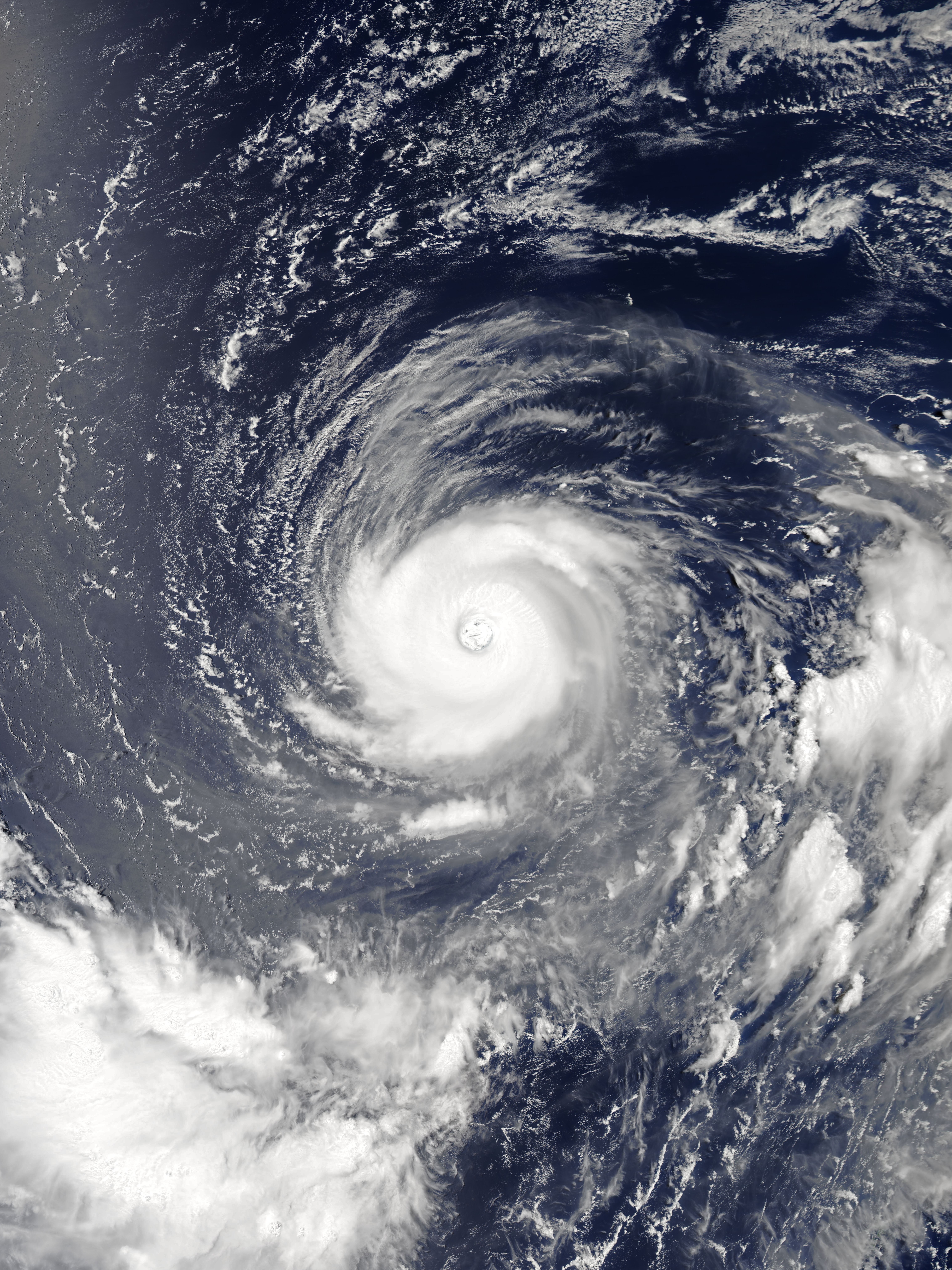
A typhoon is a tropical cyclone that develops between 180° and 100°E in the Northern Hemisphere and which produces sustained hurricane-force winds of at least . This region is referred to as the Northwestern Pacific Basin, accounting for almost one third of the world's tropical cyclones. For organizational purposes, the northern Pacific Ocean is divided into three regions: the eastern (North America to 140°W), central (140°W to 180°), and western (180° to 100°E). The Regional Specialized Meteorological Center (RSMC) for tropical cyclone forecasts is in Japan, with other tropical cyclone warning centres for the northwest Pacific in Hawaii (the Joint Typhoon Warning Center), the Philippines, and Hong Kong. Although the RSMC names each system, the main name list itself is coordinated among 18 countries that have territories threatened by typhoons each year. Within most of the northwestern Pacific, there are no official typhoon seasons as tropical cyclones form througho ... [...More Info...] [...Related Items...] OR: [Wikipedia] [Google] [Baidu] |
Humid Subtropical Climate
A humid subtropical climate is a subtropical -temperate climate type, characterized by long and hot summers, and cool to mild winters. These climates normally lie on the southeast side of all continents (except Antarctica), generally between latitudes 25° and 40° and are located poleward from adjacent tropical climates, and equatorward from either humid continental (in North America and Asia) or oceanic climates (in other continents). It is also known as warm temperate climate in some climate classifications. Under the Köppen climate classification, ''Cfa'' and ''Cwa'' climates are either described as humid subtropical climates or warm temperate climates. This climate features mean temperature in the coldest month between (or ) and and mean temperature in the warmest month or higher. However, while some climatologists have opted to describe this climate type as a "humid subtropical climate", Köppen himself never used this term. The humid subtropical climate classific ... [...More Info...] [...Related Items...] OR: [Wikipedia] [Google] [Baidu] |
Tome, Miyagi
file:Miyagi-tome-cityhall.jpg, Tome City Hall is a Cities of Japan, city located in Miyagi Prefecture, Japan. , the city had an estimated population of 77,897 and a population density of 150 persons per km2 in 27,298 households. The total area of the city is . The area is noted for its rice production. Geography Tome is in far northeastern Miyagi Prefecture, bordered by Iwate Prefecture to the north. The Kitakami River flows through the city. The city is approximately 70 kilometers north of the prefectural capital of Sendai, Miyagi, Sendai. Neighboring municipalities Iwate Prefecture *Ichinoseki, Iwate, Ichinoseki Miyagi Prefecture *Ishinomaki, Miyagi, Ishinomaki *Kesennuma, Miyagi, Kesennuma *Kurihara, Miyagi, Kurihara *Minamisanriku, Miyagi, Minamisanriku *Ōsaki, Miyagi, Ōsaki *Wakuya, Miyagi, Wakuya Climate Tome has a humid subtropical climate, humid climate (Köppen climate classification ''Cfa'') characterized by mild summers and cold winters. The average annual temperatu ... [...More Info...] [...Related Items...] OR: [Wikipedia] [Google] [Baidu] |
Ōsaki, Miyagi
Ōsaki City Hall is a city located in Miyagi Prefecture, Japan. , the city had an estimated population of 128,763 in 51,567 households, and a population density of 160 persons per km2. The total area of the city is . Ōsaki is a member of the World Health Organization’s Alliance for Healthy Cities (AFHC). Geography Ōsaki is in north-central Miyagi Prefecture in the northern Sendai Plain. The Furukawa area in the center of the city is a base for commercial and service industries in the northern portion of Miyagi Prefecture, and the Naruko area in the northwestern of the city is noted for hot spring tourism . The Kashimadai and Matsuyama districts in the southeastern part of the city are within the commuting zone of Sendai. Climate Ōsaki has a humid subtropical climate (Köppen climate classification ''Cfa'') characterized by hot summers and mild winters. The average annual temperature in Ōsaki is 11.5 °C. The average annual rainfall is 1249 mm with September as ... [...More Info...] [...Related Items...] OR: [Wikipedia] [Google] [Baidu] |
Ichinoseki, Iwate
is a city located in Iwate Prefecture, in the Tōhoku region of northern Japan. , the city had a population of 114,476 and a population density of 91 persons per km2 in 46,375 households. It is currently the second largest city by population in the prefecture, after Morioka. The total area of the city was . Geography Ichinoseki is located inland in the south of Iwate Prefecture, a little over two hours north of Tokyo by the Tōhoku Shinkansen. A large volume of extremely stable granite rock runs beneath the city, and is the center of a site being promoted as a suitable location for construction of the International Linear Collider (ILC). Neighboring municipalities Akita Prefecture * Higashinaruse Iwate Prefecture * Hiraizumi * Ōshū * Rikuzentakata * Sumita Miyagi Prefecture * Kesennuma * Kurihara * Tome Climate Ichinoseki has a humid climate (Köppen climate classification ''Cfa'') with warm summers and cold winters. The average annual temperature in Ichinoseki is 10.9&nb ... [...More Info...] [...Related Items...] OR: [Wikipedia] [Google] [Baidu] |


