Kiillinnguyaq on:
[Wikipedia]
[Google]
[Amazon]
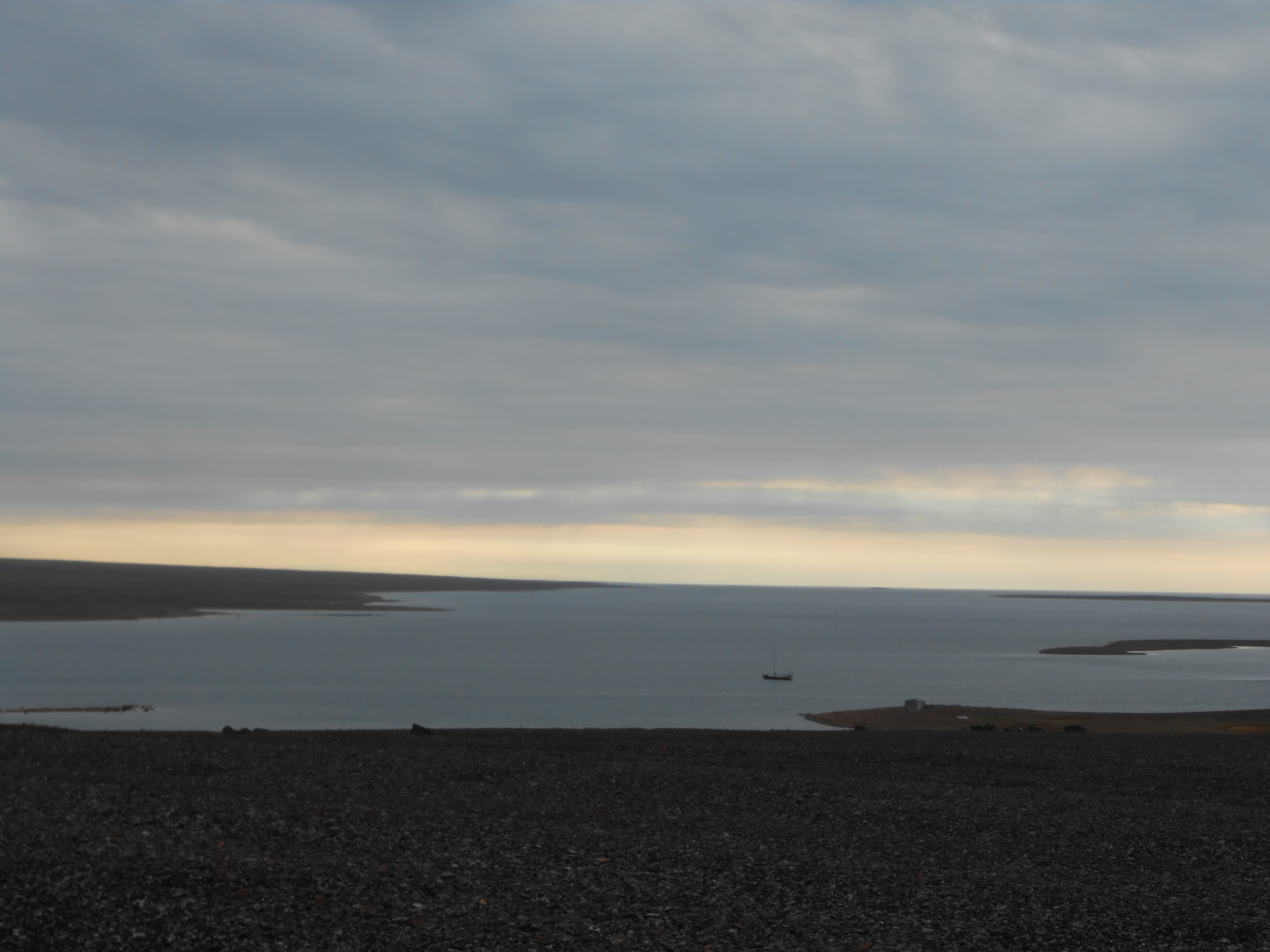
Kiillinnguyaq, formerly the Kent Peninsula, is a large  Historically, the
Arctic
The Arctic ( or ) is a polar regions of Earth, polar region located at the northernmost part of Earth. The Arctic consists of the Arctic Ocean, adjacent seas, and parts of Canada (Yukon, Northwest Territories, Nunavut), Danish Realm (Greenla ...
peninsula, almost totally surrounded by water, in the Kitikmeot Region
Kitikmeot Region (; Inuktitut: ''Qitirmiut'' ) is an administrative region of Nunavut, Canada. It consists of the southern and eastern parts of Victoria Island with the adjacent part of the mainland as far as the Boothia Peninsula, together ...
of Nunavut
Nunavut ( , ; iu, ᓄᓇᕗᑦ , ; ) is the largest and northernmost Provinces and territories of Canada#Territories, territory of Canada. It was separated officially from the Northwest Territories on April 1, 1999, via the ''Nunavut Act'' ...
. Were it not for a isthmus
An isthmus (; ; ) is a narrow piece of land connecting two larger areas across an expanse of water by which they are otherwise separated. A tombolo is an isthmus that consists of a spit or bar, and a strait is the sea counterpart of an isthmu ...
at the southeast corner it would be a long island parallel to the coast. From the isthmus it extends westward into the Coronation Gulf
Coronation Gulf lies between Victoria Island and mainland Nunavut in Canada. To the northwest it connects with Dolphin and Union Strait and thence the Beaufort Sea and Arctic Ocean; to the northeast it connects with Dease Strait and thence Queen M ...
. To the south, Melville Sound
Tariyunnuaq formerly Melville Sound is an Arctic waterway in the Kitikmeot Region, Nunavut, Canada.
It is located south of Kiillinnguyaq, and north of the main part of the Nunavut mainland. To the west it opens into Bathurst Inlet
Bathurst ...
separates it from the mainland. To the north is Dease Strait
Dease Strait is an east–west waterway between the mainland's Kent Peninsula and Victoria Island in Nunavut, Canada. It is part of the Northwest Passage. At its eastern end, approximately wide, is Cambridge Bay; to the west it widens to approxi ...
and then Victoria Island
Victoria Island ( ikt, Kitlineq, italic=yes) is a large island in the Arctic Archipelago that straddles the boundary between Nunavut and the Northwest Territories of Canada. It is the List of islands by area, eighth-largest island in the world, ...
. To the west is Coronation Gulf and to the east, Queen Maud Gulf
Queen or QUEEN may refer to:
Monarchy
* Queen regnant, a female monarch of a Kingdom
** List of queens regnant
* Queen consort, the wife of a reigning king
* Queen dowager, the widow of a king
* Queen mother, a queen dowager who is the mother ...
. Cape Flinders Cape Flinders is a headland in the northern Canadian territory of Nunavut. It is located on the western point of the Kent Peninsula, now known as Kiillinnguyaq.
The cape was named by Sir John Franklin in 1821 after the navigator Matthew Flinders. ...
marks the western tip of the peninsula, Cape Franklin is at the northwestern point, and Hiiqtinniq, formerly Cape Alexander marks the northeastern point.
 Historically, the
 Umingmuktogmiut
The Umingmuktogmiut are a geographically defined Copper Inuit band in the northern Canadian territory of Nunavut, Kitikmeot Region. They were located on the western coast of Kiillinnguyaq (Kent Peninsula), and also further south in eastern Bathur ...
subgroup of the Copper Inuit
Copper Inuit, also known as Kitlinermiut and Inuinnait, are a Canadian Inuit group who live north of the tree line, in what is now the Kitikmeot Region of Nunavut and in the Inuvialuit Settlement Region in the Inuvik Region of the Northwest Ter ...
had a permanent community at Umingmuktog on the peninsula's western coast. A landmark for early explorers was Cape Turnagain or Point Turnagain,Turanagain Point Kent Peninsula "Sailing Directions for Northern Canada - The Coast of Labrador Northwards ..."US Hydrographic Office P 558 located about northeast of Cape Flinders, near Cape Franklin at about . In 1821, John Franklin
Sir John Franklin (16 April 1786 – 11 June 1847) was a British Royal Navy officer and Arctic explorer. After serving in wars against Napoleonic France and the United States, he led two expeditions into the Canadian Arctic and through ...
reached the point from the west, at the most northerly point of the disastrous Coppermine expedition
The Coppermine expedition of 1819–1822 was a British overland undertaking to survey and chart the area from Hudson Bay to the north coast of Canada, eastwards from the mouth of the Coppermine River. The expedition was organised by the Royal Nav ...
and then turned back. In 1838, Thomas Simpson
Thomas Simpson Fellow of the Royal Society, FRS (20 August 1710 – 14 May 1761) was a British mathematician and inventor known for the :wikt:eponym, eponymous Simpson's rule to approximate definite integrals. The attribution, as often in mathe ...
nearly reached the same point, but was blocked by ice and had to walk east. In 1839, the coast was clear of ice and Simpson followed the entire coast eastward.
References
Peninsulas of Kitikmeot Region Hudson's Bay Company trading posts in Nunavut Former populated places in the Kitikmeot Region {{KitikmeotNU-geo-stub