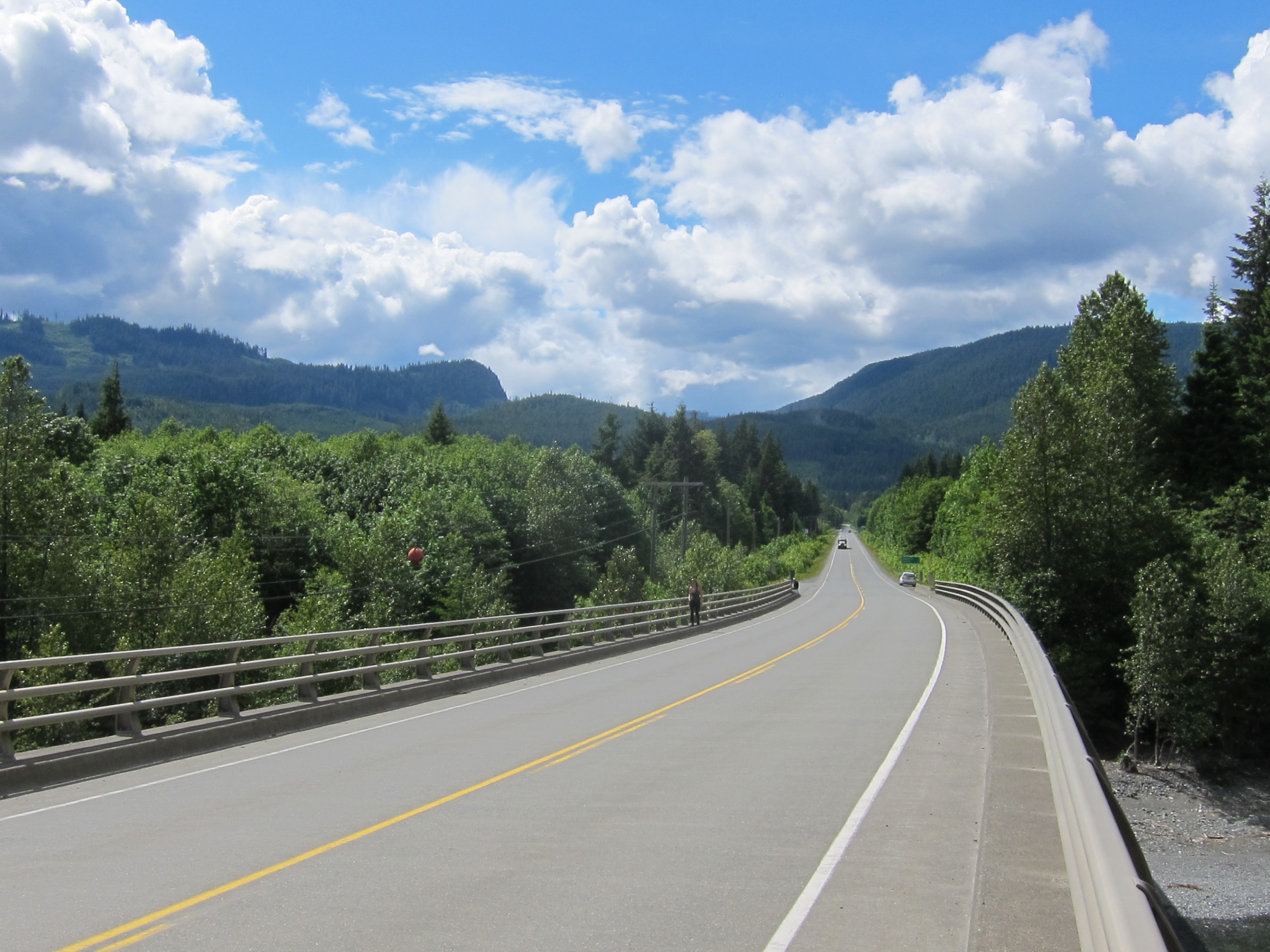
Island Highway on:
[Wikipedia]
[Google]
[Amazon]
 The Island Highway is actually a series of highways that follows much of the eastern coastline of
 Google Maps showing two Island Highways
/ref>
Vancouver Island
Vancouver Island is an island in the northeastern Pacific Ocean and part of the Canadian Provinces and territories of Canada, province of British Columbia. The island is in length, in width at its widest point, and in total area, while are o ...
, British Columbia
British Columbia (commonly abbreviated as BC) is the westernmost province of Canada, situated between the Pacific Ocean and the Rocky Mountains. It has a diverse geography, with rugged landscapes that include rocky coastlines, sandy beaches, ...
, Canada
Canada is a country in North America. Its ten provinces and three territories extend from the Atlantic Ocean to the Pacific Ocean and northward into the Arctic Ocean, covering over , making it the world's second-largest country by tot ...
.
While the Island Highway has no officially designated starting point, it is understood to begin at the BC Ferries
British Columbia Ferry Services Inc., operating as BC Ferries (BCF), is a former provincial Crown corporation, now operating as an independently managed, publicly owned Canadian company. BC Ferries provides all major passenger and vehicle ferry ...
dock in Port Hardy
Port Hardy is a district municipality in British Columbia, Canada located on the north-east end of Vancouver Island. Port Hardy has a population of 4,132 as of the last census (2016).
It is the gateway to Cape Scott Provincial Park, the North Co ...
as Highway 19. The highway continues southbound as Highway 19 until it reaches the northern end of Campbell River, at the intersection of Highway 19 and Highway 19A. At this point, Highway 19A becomes the Island Highway, and runs south through Courtenay, Union Bay, Fanny Bay
Fanny Bay is a small hamlet in the Canadian province of British Columbia. It is located on Baynes Sound on the east coast of Vancouver Island. In 2001, its population was listed as 815. It is best known for its fine oysters. The area is served b ...
, and Qualicum Beach :''"Qualicum" re-directs here. For the neighbourhood in Ottawa, see Qualicum, Ottawa''
Qualicum Beach () is a town located on Vancouver Island, British Columbia, Canada. In the 2021 census, it had a population of 9,303. It is situated at the fo ...
until it reaches Parksville (this section of the highway is often referred to as the ''Oceanside Route'').
At the southern tip of Parksville, the Island Highway rejoins Highway 19 and continues south to Nanaimo
Nanaimo ( ) is a city on the east coast of Vancouver Island, in British Columbia, Canada. As of the Canada 2021 Census, 2021 census, it had a population of 99,863, and it is known as "The Harbour City." The city was previously known as the "H ...
, where it meets Highway 1, the Trans-Canada Highway
The Trans-Canada Highway ( French: ; abbreviated as the TCH or T-Can) is a transcontinental federal–provincial highway system that travels through all ten provinces of Canada, from the Pacific Ocean on the west coast to the Atlantic Ocean o ...
. The highway continues through Ladysmith Ladysmith may refer to:
* Ladysmith, KwaZulu-Natal, South Africa
* Ladysmith, British Columbia, Canada
* Ladysmith, Wisconsin, United States
* Ladysmith, New South Wales, Australia
* Ladysmith, Virginia, United States
* Ladysmith Island, Queenslan ...
, Duncan, and several other communities before winding through the higher elevation Malahat district.
Although the Trans-Canada Highway remains the Island Highway south to Victoria, the name is rarely applied to it there. Instead and confusingly, "Island Highway" is the name still given to Highway 1A from Goldstream Avenue through Langford and Colwood to Six Mile Road in View Royal, after which the road is briefly named "Old Island Highway" for a few blocks, where the address numbering scheme changes from the 1600s to the 400s, resulting in adjacent businesses have substantially different addresses. The road then continues as "Island Highway" through to Admirals Road. Additionally, mapping tools such as Google Maps show both Highway 1 and Highway 1A as being "Island Highway" through this section./ref>
References
{{reflist Roads in British Columbia Transport on Vancouver Island