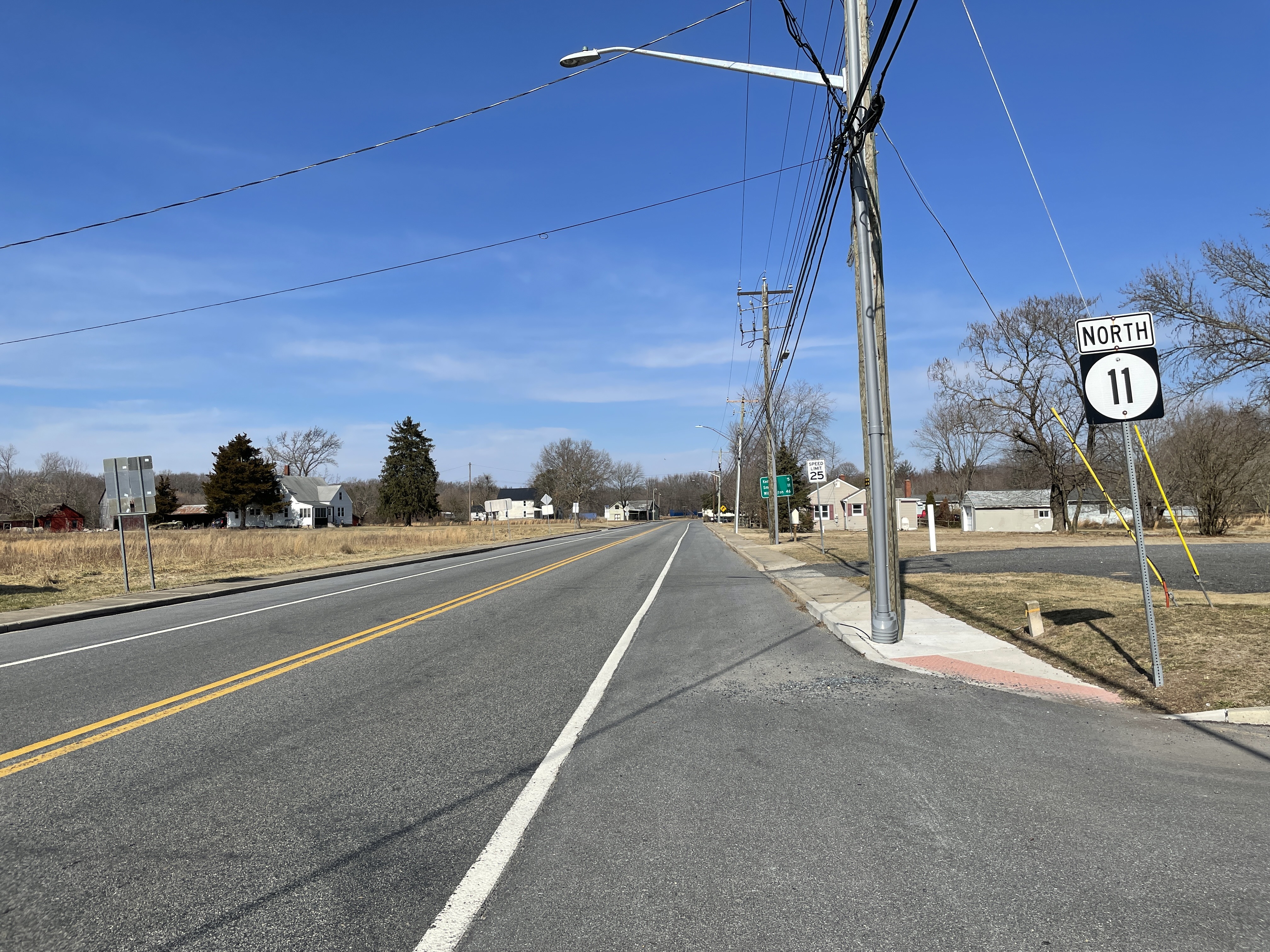
Delaware Route 11 on:
[Wikipedia]
[Google]
[Amazon]
Delaware Route 11 (DE 11) is a state highway in Kent County,
 DE 11 begins at the
DE 11 at AARoads.com
Delaware
Delaware ( ) is a state in the Mid-Atlantic region of the United States, bordering Maryland to its south and west; Pennsylvania to its north; and New Jersey and the Atlantic Ocean to its east. The state takes its name from the adjacent Del ...
. It is signed north-south and runs from Maryland Route 302 (MD 302) at the Maryland
Maryland ( ) is a state in the Mid-Atlantic region of the United States. It shares borders with Virginia, West Virginia, and the District of Columbia to its south and west; Pennsylvania to its north; and Delaware and the Atlantic Ocean to ...
border near Templeville, Maryland
Templeville is a town in Caroline and Queen Anne's counties, Maryland, United States. Templeville is located near the Maryland-Delaware line. The population was 138 at the 2010 census. It was known as Bullock Town until the name was changed in 1 ...
northeast to DE 300 near Kenton. The road, known as Arthursville Road for its entire length, passes through farmland in western Kent County and through the town of Hartly, where it intersects DE 44. The route was built as a state highway in the 1920s and 1930s and received the DE 11 designation by 1936.
Route description
 DE 11 begins at the
 Maryland
Maryland ( ) is a state in the Mid-Atlantic region of the United States. It shares borders with Virginia, West Virginia, and the District of Columbia to its south and west; Pennsylvania to its north; and Delaware and the Atlantic Ocean to ...
border in western Kent County, where the road continues west into that state as MD 302 toward the town of Templeville
Templeville is a town in Caroline and Queen Anne's counties, Maryland, United States. Templeville is located near the Maryland-Delaware line. The population was 138 at the 2010 census. It was known as Bullock Town until the name was changed in 18 ...
. From the state line, DE 11 heads northeast on two-lane, undivided Arthursville Road through a mix of woods and farms with occasional residences. The road enters the town of Hartly, where it passes several homes along with some commercial establishments. In the center of town, the route crosses DE 44 and heads north before it curves northeast out of Hartly. DE 11 continues into rural areas with some residences, making another turn north. The road runs northeast and crosses Jordan Branch and Pinks Branch before it comes to an end at DE 300 to the southwest of the town of Kenton.
DE 11 has an annual average daily traffic
Annual average daily traffic, abbreviated AADT, is a measure used primarily in transportation planning, transportation engineering and retail location selection. Traditionally, it is the total volume of vehicle traffic of a highway or road for a y ...
count ranging from a high of 2,543 vehicles at the north end of Hartly to a low of 1,503 vehicles at the south end of Hartly. None of DE 11 is part of the National Highway System.
History
By 1920 what is now DE 11 existed as an unimproved county road. The portion of the route north of Hartly was built as a paved state highway in 1927. The road south of Hartly was taken over by the state and paved by 1931. DE 11 was assigned to its current alignment by 1936. The route has not changed since its inception.Major intersections
See also
*References
External links
{{commons categoryDE 11 at AARoads.com
011
The following is a list of different international call prefixes that need to be dialled when placing an international telephone call from different countries.
Countries by international prefix
Countries using optional carrier selection cod ...
Transportation in Kent County, Delaware