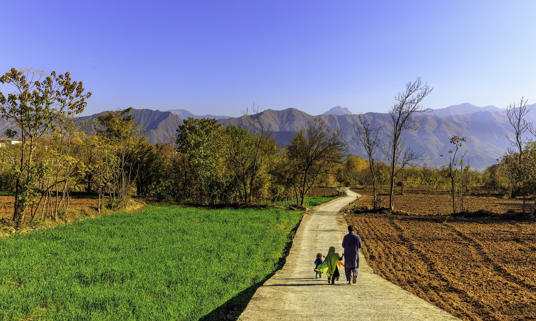
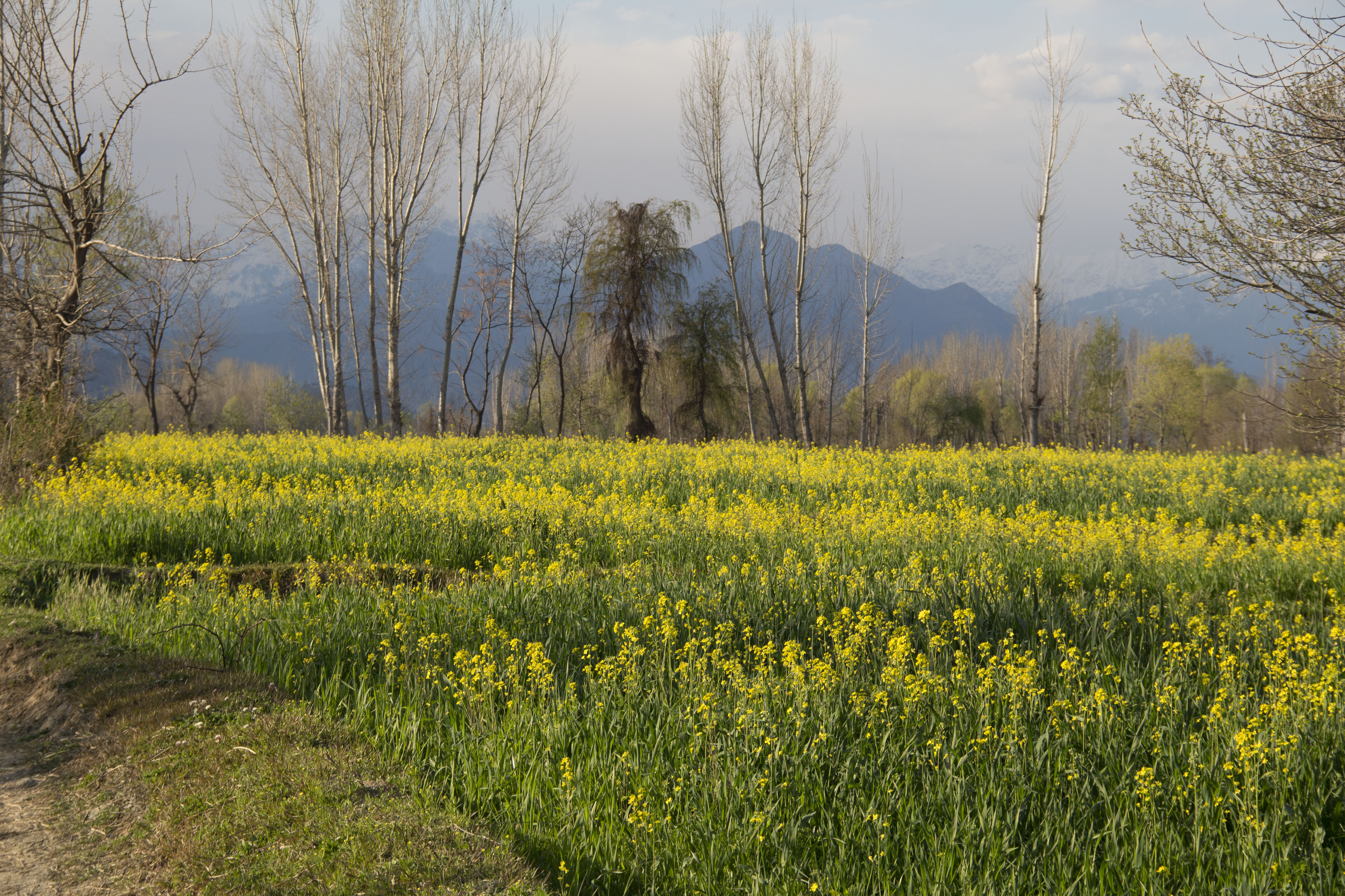
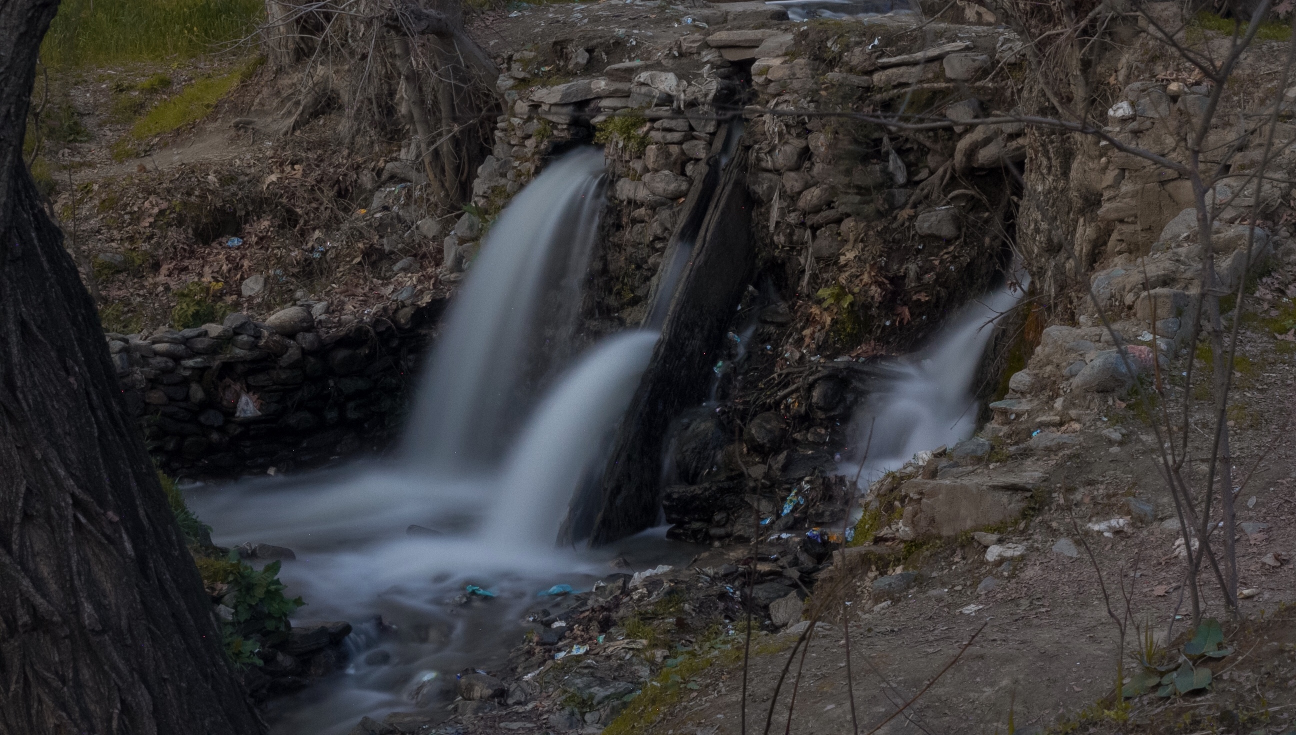
Charbagh, Swat on:
[Wikipedia]
[Google]
[Amazon]


 Charbagh ( ps, چارباغ) is a town in Tehsil Charbagh, in the
 Pakistan 'nearing Swat victory'
/ref>


 Charbagh ( ps, چارباغ) is a town in Tehsil Charbagh, in the
 Khyber Pakhtunkhwa
Khyber Pakhtunkhwa (; ps, خېبر پښتونخوا; Urdu, Hindko: خیبر پختونخوا) commonly abbreviated as KP or KPK, is one of the Administrative units of Pakistan, four provinces of Pakistan. Located in the Geography of Pakistan, ...
province of Pakistan
Pakistan ( ur, ), officially the Islamic Republic of Pakistan ( ur, , label=none), is a country in South Asia. It is the world's List of countries and dependencies by population, fifth-most populous country, with a population of almost 24 ...
. It is part of Swat District
Swat District (, ps, سوات ولسوالۍ, ) is a district in the Malakand Division of Khyber Pakhtunkhwa, Pakistan. With a population of 2,309,570 per the 2017 national census, Swat is the 15th-largest district of Khyber Pakhtunkhwa pro ...
and is located at 34°50'0"N 72°26'30"E with an average altitude of . It is located on the N-95 National Highway some 15 km from mingora
Mingora ( ps, مینګورہ, ur, ) is a city in the Swat District of Khyber Pakhtunkhwa, Pakistan. Located on the Swat River, it is the 3rd largest city in Khyber Pakhtunkhwa and the 26th largest in Pakistan. Mingora is the largest city a ...
in Khyber Pakhtunkhwa
Khyber Pakhtunkhwa (; ps, خېبر پښتونخوا; Urdu, Hindko: خیبر پختونخوا) commonly abbreviated as KP or KPK, is one of the Administrative units of Pakistan, four provinces of Pakistan. Located in the Geography of Pakistan, ...
.
Tehsil Charbagh is also known as Matorizi Tehsil and it borders with Babuzai
Babuzai is a Union Council located in Mardan District, Khyber Pakhtunkhwa, Pakistan. The reason Babuzai is called Babuzai is because one of Pashtun tribe Babuzai is living here.
District Mardan has 3 Tehsil Each Tehsil comprises certain numbers ...
tehsil and Azikhel Tehsil. Some of the villages included in Tehsil Charbagh are:
# Jehanabad ( ps, جان آباد)
# Taligram
Taligram is an administrative unit, known as Union council, of Swat District in the Khyber Pakhtunkhwa province of Pakistan.
District Swat has 9 Tehsils i.e. Khwazakhela, Kabal, Madyan, Barikot, Mingora, and Kalam. Each Tehsill comprises certain n ...
( ps, تليګرام)
# Sair ( ps, سير)
# Shin Kad ( ps, شين کډ)
# Ganajir ( ps, ګناجر)
Malam Jaba ( ps, ملم جبه
# Koat ( ps, کوټ)
# Amanabad ( ps, آمان کوټ)
# Roshanabad ( ps, روشن آباد)
# Charbagh ( ps, چارباغ)
# Mangultan ( ps, منګولتان)
# Asharbanr ( ps, اشاربنړ)
# Toha ( ps, توهه)
# Kandaw ( ps, کنډؤ)
# Khadang ( ps, خاندګ)
# Alabad ( ps, آله آباد)
# Dakorak ( ps, دکوړک)
# Rorya ( ps, روريا)
# Landakey ( ps, لنډا کې)
# Gulibagh
Gulibagh literally mean in pushto language “the garden of flowers” is an administrative unit, known as Union council, of Swat District in the Khyber Pakhtunkhwa province of Pakistan.
District Swat has 9 Tehsils i.e. Khwazakhela, Charbagh, ...
( ps, ګلي باغ)
# Alamganj ( ps, الم ګنج)
# Landey ( ps, لنډې)
# Navy Kali ( ps, نوي کلي)
# Facebook Page ()
The University of Swat
The University of Swat ( ur, ) ( ps, ) is a public sector university. The main campus of the university is situated in the Charbagh area of the Swat District in the Khyber Pakhtunkhwa province of Pakistan. It is 20 km away from the main ...
is 800 meters away from Charbagh bazaar situated in ''Allahabad'', Cadet College Swat, a premier educational institution of the province, is in ''Gulibagh'' and also the Private University Town are in this Tehsil. The town was also a stronghold of the Taliban in Pakistan, in May 2009 Pakistan government had the town in their sights after routing the Taliban elsewhere in the district./ref>
Population
The population Charbagh is 39,605. According to the 2017 census the population of tehsil Charbagh is 126,115. Charbagh tehsil has a population density of 934.9/km2 .See also
*Charbagh Tehsil
Charbagh is an administrative subdivision (tehsil) of Swat District in the Khyber Pakhtunkhwa province of Pakistan.
District Swat has seven tehsils: Tehsil Charbagh, Tehsil Babuzai, Tehsil Matta, Tehsil Khwaza Khela, Tehsil Barikot, Tehsil Ka ...
* Swat District
Swat District (, ps, سوات ولسوالۍ, ) is a district in the Malakand Division of Khyber Pakhtunkhwa, Pakistan. With a population of 2,309,570 per the 2017 national census, Swat is the 15th-largest district of Khyber Pakhtunkhwa pro ...
References
Swat District Populated places in Swat District {{Swat-geo-stub