Ch'iyar Quta, Oruro on:
[Wikipedia]
[Google]
[Amazon]
__NOTOC__
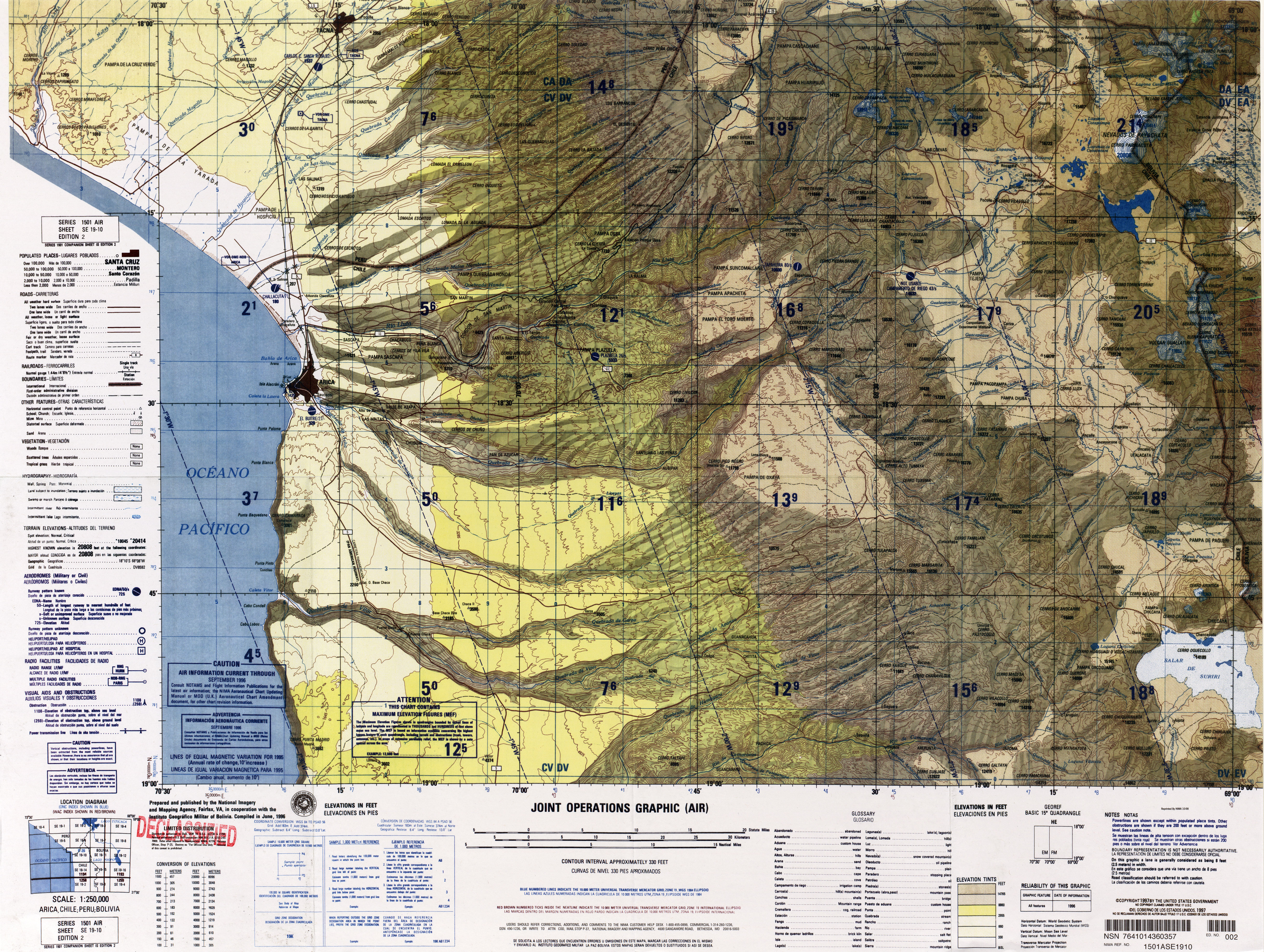
 Ch'iyar Quta ( Aymara ''ch'iyara'' black, ''quta'' lake, "black lake", hispanicized spellings ''Chiar Kkota'' and erroneously also ''Chiar Kkola'') is a small
 lib.icimod.org
Dirk Hoffmann, The Sajama National Park in Bolivia, Mountain Research and Development Vol 27 No 1 February 2007 (see map on p. 12) Ch'iyar Quta lies south-east of the peaks of Laram Q'awa, Milluni and Kunturiri, south-west of Jisk'a Kunturiri and north of
 Ch'iyar Quta ( Aymara ''ch'iyara'' black, ''quta'' lake, "black lake", hispanicized spellings ''Chiar Kkota'' and erroneously also ''Chiar Kkola'') is a small
 Bolivia
, image_flag = Bandera de Bolivia (Estado).svg
, flag_alt = Horizontal tricolor (red, yellow, and green from top to bottom) with the coat of arms of Bolivia in the center
, flag_alt2 = 7 × 7 square p ...
n lake located in the Sajama Province of the Oruro Department near the border to Chile. It is situated at a height of about inside the boundaries of the Sajama National Park.Dirk Hoffmann, The Sajama National Park in Bolivia, Mountain Research and Development Vol 27 No 1 February 2007 (see map on p. 12) Ch'iyar Quta lies south-east of the peaks of Laram Q'awa, Milluni and Kunturiri, south-west of Jisk'a Kunturiri and north of
Patilla Pata
Patilla Pata is a stratovolcano in the Oruro Department in Bolivia. It is situated in the Sajama Province, in the west of the Curahuara de Carangas Municipality, at the border with Chile. Patilla Pata lies south-west of the mountain Jisk'a Kunturir ...
.BIGM map 1:50,000 Nevados Payachata Hoja 5739-I
See also
*Jach'a Kunturiri
Jach'a Kunturiri ( Aymara ''jach'a'' big, ''kunturi'' condor, ''-ri'' a suffix, Hispanicized spelling ''Jachcha Condoriri'') is a mountain in the Andes of Bolivia. It is situated in the Oruro Department, Sajama Province, Curahuara de Cara ...
References
Lakes of Oruro Department {{Oruro-geo-stub