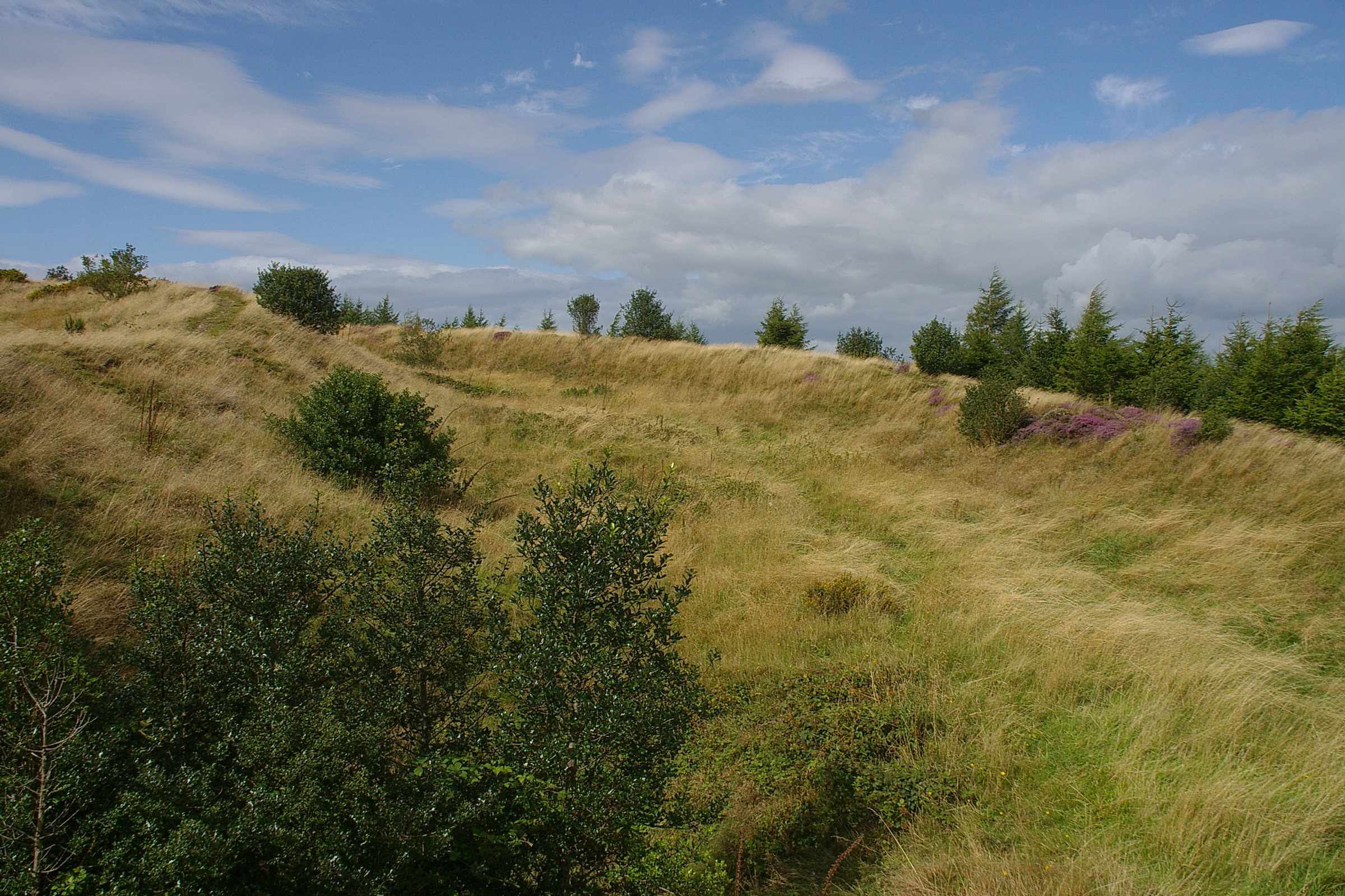
Bury Ditches on:
[Wikipedia]
[Google]
[Amazon]

 Bury Ditches is a
Walking guide to Bury Ditches with photo from Shropshire County CouncilBury Ditches Forestry England webpageBury Ditches on the Roman-Britain websitePhotos of Bury Ditches and surrounding area on geograph
Hill forts in Shropshire Hills of Shropshire {{Shropshire-geo-stub

 Bury Ditches is a
 British Iron Age
The British Iron Age is a conventional name used in the archaeology of Great Britain, referring to the prehistoric and protohistoric phases of the Iron Age culture of the main island and the smaller islands, typically excluding prehistoric Ire ...
hill fort
A hillfort is a type of earthwork used as a fortified refuge or defended settlement, located to exploit a rise in elevation for defensive advantage. They are typically European and of the Bronze Age or Iron Age. Some were used in the post-Roma ...
between Clun
Clun ( cy, Colunwy) is a town in south west Shropshire, England, and the Shropshire Hills Area of Outstanding Natural Beauty. The 2011 census recorded 680 people living in the town.Combined populations for the two output areas covering the tow ...
and Bishop's Castle in the Shropshire Hills of central England
England is a country that is part of the United Kingdom. It shares land borders with Wales to its west and Scotland to its north. The Irish Sea lies northwest and the Celtic Sea to the southwest. It is separated from continental Europe b ...
.
Site
The site is managed byForestry England
Forestry England is a division of the Forestry Commission, responsible for managing and promoting publicly owned forests in England. It was formed as Forest Enterprise in 1996, before devolving to Forest Enterprise England on 31 March 2003 and ...
. Storms in the 1970s and 1980s led to the removal of woodland from the hill fort site on the crown of the hill, from which today the views are open in all directions.
There is a car park within an easy uphill walk of the summit.
Description
Bury Ditches is often rated as a spectacular example of a surviving hill fort as it forms a neat oval orelliptical
Elliptical may mean:
* having the shape of an ellipse, or more broadly, any oval shape
** in botany, having an elliptic leaf shape
** of aircraft wings, having an elliptical planform
* characterised by ellipsis (the omission of words), or by conc ...
shape and is situated on the crown of a hill called Sunnyhill and comprises up to four multi-vallate ditches and rampart banks as part of its defensive earthworks
Earthworks may refer to:
Construction
*Earthworks (archaeology), human-made constructions that modify the land contour
* Earthworks (engineering), civil engineering works created by moving or processing quantities of soil
*Earthworks (military), m ...
and two well preserved entrance ways.
From the summit views are clear to the Long Mynd, Corndon Hill
Corndon Hill ( cy, Cornatyn) is a hill in Powys, Mid Wales, whose isolated summit rises to 1,683 ft above sea level.
It is surrounded on three sides by the English county of Shropshire and forms a prominent landmark in the Wales-England ...
and other Shropshire Hills.
Waymarked walks cross the site and pass through the woodlands below. The Shropshire Way
The Shropshire Way Main Route is a waymarked long distance footpath running through the English county of Shropshire. It runs around the interior of the county in two loops centred on Shrewsbury, with an additional spur to Whitchurch.
The M ...
and Jack Mytton Way
The Jack Mytton Way is a long distance footpath and bridleway for horseriders, hillwalkers and mountain bikers in mid and south Shropshire, England. It typically takes a week to ride on horseback.
For much of its length it passes through t ...
pass below the site and Wild Edric's Way
Wild Edric's Way is a waymarked long distance footpath running wholly within the county of Shropshire in England. The path runs for , mostly sharing the route of the Shropshire Way.
The route
The route runs from Church Stretton in the Shropshir ...
crosses adjacent to it also.
References
External links
Walking guide to Bury Ditches with photo from Shropshire County Council
Hill forts in Shropshire Hills of Shropshire {{Shropshire-geo-stub