|
Remote Communications Outlet
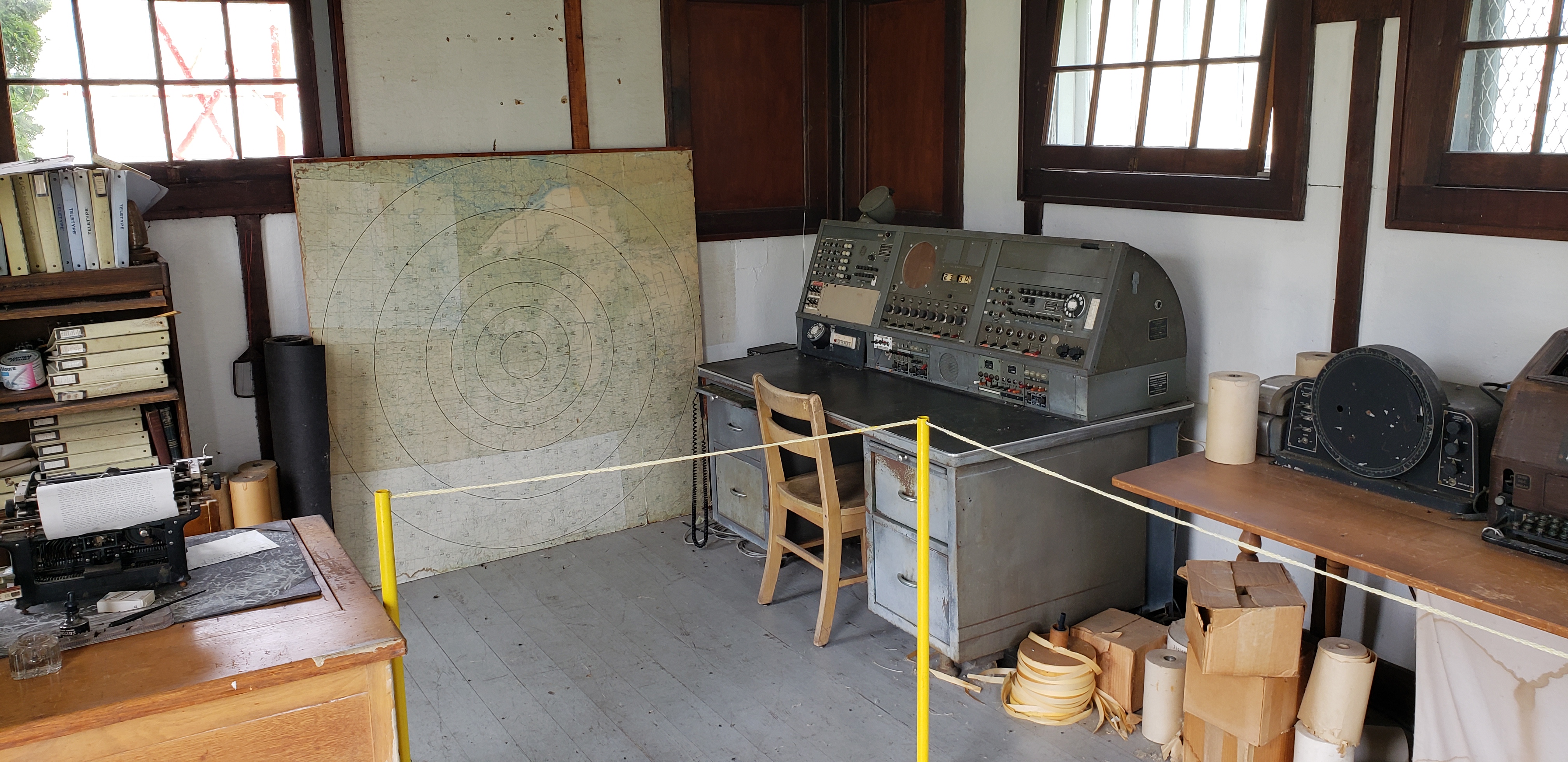
Remote communications outlets (RCO) are remote aviation band radio transceivers, established to extend the communication capabilities of Flight Information Centres (FIC) and flight service stations (FSS). Pilots can find RCO frequencies in charts or publications such as the Chart Supplement or Canada Flight Supplement. The RCO is used to make a radio call to the outlet as if the pilot were making the call directly to the FSS or FIC. The outlet will relay the call (and the briefer's response) automatically. RCOs are sometimes confused with RTRs, or remote transmitter/receivers. In fact, the difference between the two is subtle. While RCOs serve flight service stations, RTRs serve terminal air traffic control facilities. RCOs and RTRs may be UHF or VHF and are divided into a variety of classes determined by the number of transmitters or receivers. Classes A through G are used mainly for air/ground communications. Class O facilities were created specifically to provide ground-to-gro ... [...More Info...] [...Related Items...] OR: [Wikipedia] [Google] [Baidu] |
Flight Information Centre
Flight Information Centres (FICs) are centres employing flight service specialists responsible for the management and dissemination of flight safety related information operated by Nav Canada. Nav Canada's FIC and flight service stations (FSS) use a network of remote communications outlets (RCOs) strategically located to provide maximum coverage and assistance to aircraft flying in all areas of Canada. Flight service specialists staff these stations providing essential aviation-related information to support mainly general aviation, commercial and private. Pilots can contact FICs to obtain any pre-flight information required 24 hours a day. The specialist will provide callers with an interpretation of the latest weather reports, forecasts, satellite images and weather radar, copies of the latest Notice To Airmen (NOTAMs), and file, modify, open, or close a flight plan. Only a few FICs provide for face to face briefings but all can be contacted on a toll free number, or via radio usi ... [...More Info...] [...Related Items...] OR: [Wikipedia] [Google] [Baidu] |
Flight Service Station
A flight service station (FSS) is an air traffic facility that provides information and services to aircraft pilots before, during, and after flights, but unlike air traffic control (ATC), is not responsible for giving instructions or clearances or providing separation. They do, however, relay clearances from ATC for departure or approaches. The people who communicate with pilots from an FSS are referred to as flight service specialists. The precise services offered by stations vary by country, but typical FSS services may include providing preflight briefings including weather and notices to airmen (NOTAMs); filing, opening, and closing flight plans; monitoring navigational aids (NAVAIDs); collecting and disseminating pilot reports (PIREPs) and airport surface weather observations; offering traffic advisories to aircraft on the ground or in flight; relaying instructions or clearances from air traffic control; relaying information from or about airborne aircraft to their home bases ... [...More Info...] [...Related Items...] OR: [Wikipedia] [Google] [Baidu] |
Chart Supplement
A chart (sometimes known as a graph) is a graphical representation for data visualization, in which "the data is represented by symbols, such as bars in a bar chart, lines in a line chart, or slices in a pie chart". A chart can represent tabular numeric data, functions or some kinds of quality structure and provides different info. The term "chart" as a graphical representation of data has multiple meanings: * A data chart is a type of diagram or graph, that organizes and represents a set of numerical or qualitative data. * Maps that are adorned with extra information (map surround) for a specific purpose are often known as charts, such as a nautical chart or aeronautical chart, typically spread over several map sheets. * Other domain-specific constructs are sometimes called charts, such as the chord chart in music notation or a record chart for album popularity. Charts are often used to ease understanding of large quantities of data and the relationships between parts of th ... [...More Info...] [...Related Items...] OR: [Wikipedia] [Google] [Baidu] |
Canada Flight Supplement
The Canada Flight Supplement (CFS) (french: link=no, Supplément de vol Canada) is a joint civil/military publication and is a supplement of the Aeronautical Information Publication (AIP Canada). It is the nation's official airport directory. It contains information on all registered Canadian and certain Atlantic aerodromes and certified airports.''Canada Flight Supplement – Canada and North Atlantic Terminal and Enroute Data''. Nav Canada, 2008. The CFS is published, separately in English and French, as a paper book by Nav Canada and is issued once every 56 days on the ICAO AIRAC schedule. The CFS was published by Natural Resources Canada on behalf of Transport Canada and the Department of National Defence until 15 March 2007 edition, at which time Nav Canada took over production. Contents The CFS presents runway data, arrival and departure procedures, air traffic control (ATC) and other radio frequencies and services such as fuel, hangarage that are available at each liste ... [...More Info...] [...Related Items...] OR: [Wikipedia] [Google] [Baidu] |
Canada
Canada is a country in North America. Its ten provinces and three territories extend from the Atlantic Ocean to the Pacific Ocean and northward into the Arctic Ocean, covering over , making it the world's second-largest country by total area. Its southern and western border with the United States, stretching , is the world's longest binational land border. Canada's capital is Ottawa, and its three largest metropolitan areas are Toronto, Montreal, and Vancouver. Indigenous peoples have continuously inhabited what is now Canada for thousands of years. Beginning in the 16th century, British and French expeditions explored and later settled along the Atlantic coast. As a consequence of various armed conflicts, France ceded nearly all of its colonies in North America in 1763. In 1867, with the union of three British North American colonies through Confederation, Canada was formed as a federal dominion of four provinces. This began an accretion of provinces an ... [...More Info...] [...Related Items...] OR: [Wikipedia] [Google] [Baidu] |

