|
List Of Highways Numbered 285
The following highways are numbered 285: Brazil * BR-285 Canada * Manitoba Provincial Road 285 * Quebec Route 285 Ireland * R285 regional road Japan * Japan National Route 285 United States * Interstate 285 (multiple highways) * U.S. Route 285 * Alabama State Route 285 * California State Route 285 (former) * Florida State Road 285 * Georgia State Route 285 * Iowa Highway 285 (former) * K-285 (Kansas highway) * Kentucky Route 285 * Maryland Route 285 * Montana Secondary Highway 285 * New York State Route 285 (former) * Ohio State Route 285 * Pennsylvania Route 285 * Tennessee State Route 285 * Texas State Highway 285 ** Texas State Highway Loop 285 ** Farm to Market Road 285 (Texas) * Utah State Route 285 * Virginia State Route 285 * Washington State Route 285 State Route 285 (SR 285) is a short state highway serving Douglas and Chelan counties, located in the U.S. state of Washington. The highway serves Wenatchee and runs from an interchange with ... [...More Info...] [...Related Items...] OR: [Wikipedia] [Google] [Baidu] |
Florida State Road 285
State Road 285 (SR 285) is a north–south state road in Florida’s western panhandle. Route description SR 285's south end is at SR 20 in downtown Niceville. From there, it head northwest through town as Partin Drive. After several blocks, it crosses Swift Creek, heading out of Niceville. After that, it quickly crosses College Boulevard, and into Eglin Air Force Base, where it stays for most of its journey. It slowly turns more toward the north until it passes Pierce Field, a closed auxiliary field. Then, it turns back to its northwest pattern, heading towards Ramer Lookout Tower. After a few miles, it crosses the county border from Okaloosa into Walton. It intersects with Range Road 213 and Bob Sikes Road, then heads northward, hugging the border. Once it crosses Titi Creek, it leans northwest again, running alongside the Florida Trail. After a couple miles, it crosses over, interchanging with Interstate 10 at exit 70. Then, it abruptly ends at the northern border of the b ... [...More Info...] [...Related Items...] OR: [Wikipedia] [Google] [Baidu] |
New York State Route 285
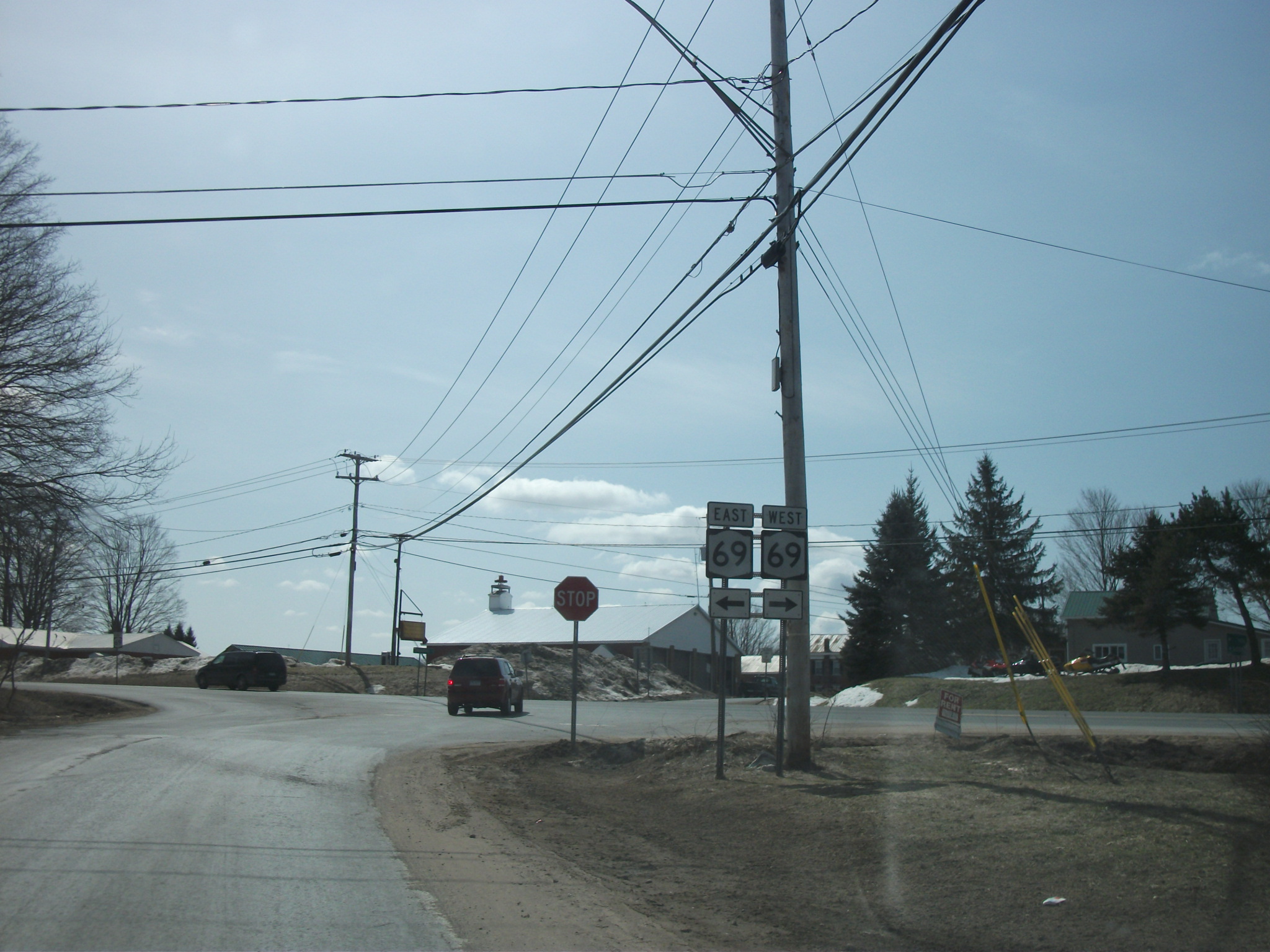
New York State Route 285 (NY 285) was a state highway in Oneida County, New York, in the United States. The southern terminus of the route was at an intersection with New York State Route 69, NY 69 west of the hamlet (New York), hamlet of Taberg in the town of Annsville, New York, Annsville. Its northern terminus was in the community of Thompson Corners, where it ended at a junction with County Route 67A (Oneida County, New York), County Route 67A (CR 67A) and County Route 70 (Oneida County, New York), CR 70. NY 285 was little more than a connector between NY 69 and Thompson Corners, as it did not pass through any other areas of interest. NY 285 initially extended from Taberg to the hamlet of Florence when it was assigned as part of the 1930 state highway renumbering (New York), 1930 renumbering of state highways in New York. It was truncated to Thompson Corners , but extended slightly in the 1960s when NY 69 was realigned to bypas ... [...More Info...] [...Related Items...] OR: [Wikipedia] [Google] [Baidu] |
NY-285
New York State Route 285 (NY 285) was a state highway in Oneida County, New York, in the United States. The southern terminus of the route was at an intersection with NY 69 west of the hamlet of Taberg in the town of Annsville. Its northern terminus was in the community of Thompson Corners, where it ended at a junction with County Route 67A (CR 67A) and CR 70. NY 285 was little more than a connector between NY 69 and Thompson Corners, as it did not pass through any other areas of interest. NY 285 initially extended from Taberg to the hamlet of Florence when it was assigned as part of the 1930 renumbering of state highways in New York. It was truncated to Thompson Corners , but extended slightly in the 1960s when NY 69 was realigned to bypass Taberg. Ownership and maintenance of NY 285 was transferred to Oneida County on September 1, 1988, and the NY 285 designation was removed just over two months later. The r ... [...More Info...] [...Related Items...] OR: [Wikipedia] [Google] [Baidu] |
Montana Secondary Highway 285
Montana () is a state in the Mountain West division of the Western United States. It is bordered by Idaho to the west, North Dakota and South Dakota to the east, Wyoming to the south, and the Canadian provinces of Alberta, British Columbia, and Saskatchewan to the north. It is the fourth-largest state by area, the eighth-least populous state, and the third-least densely populated state. Its state capital is Helena. The western half of Montana contains numerous mountain ranges, while the eastern half is characterized by western prairie terrain and badlands, with smaller mountain ranges found throughout the state. Montana has no official nickname but several unofficial ones, most notably "Big Sky Country", "The Treasure State", "Land of the Shining Mountains", and "The Last Best Place". The economy is primarily based on agriculture, including ranching and cereal grain farming. Other significant economic resources include oil, gas, coal, mining, and lumber. The ... [...More Info...] [...Related Items...] OR: [Wikipedia] [Google] [Baidu] |


