|
NY-285
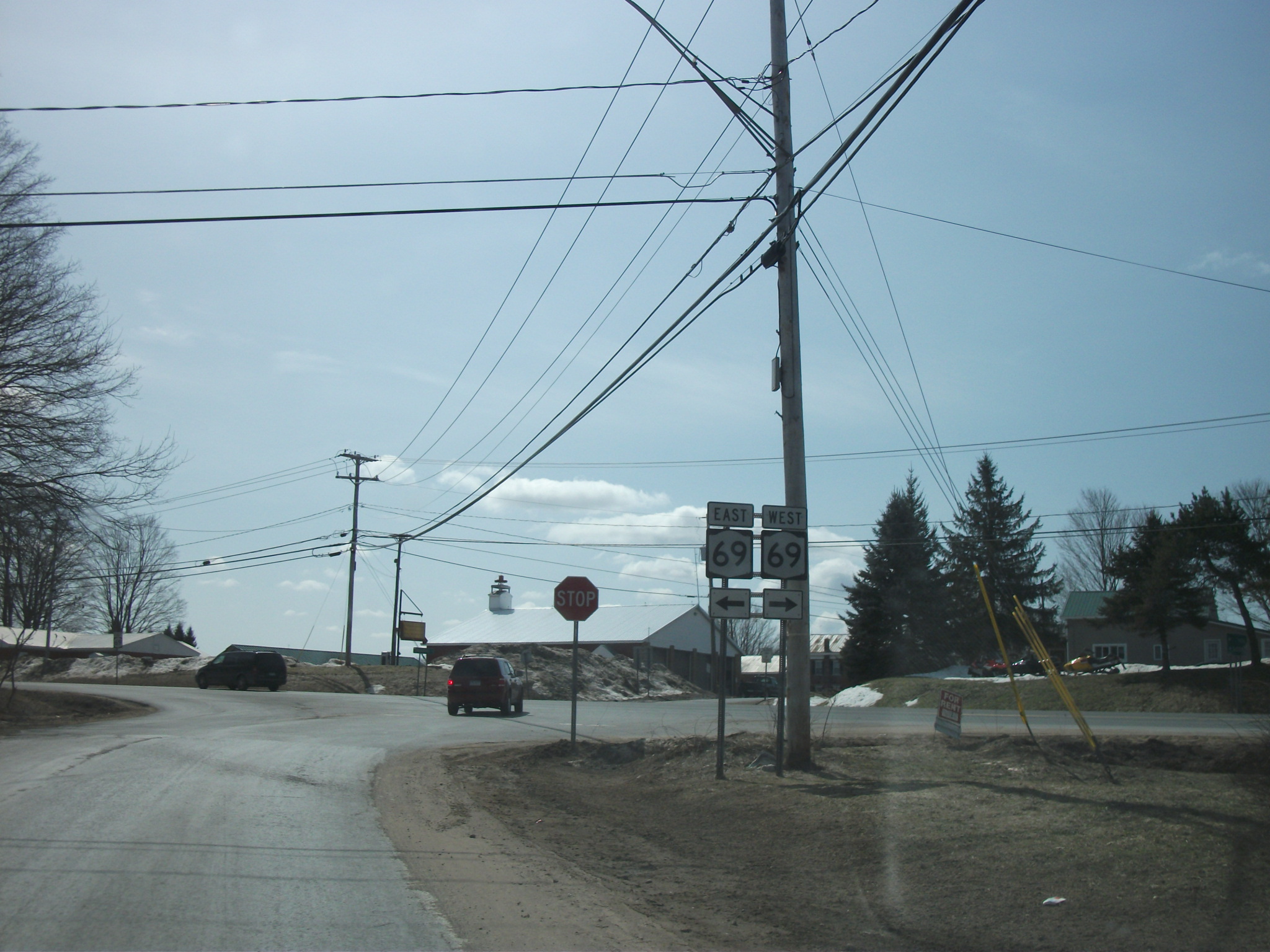
New York State Route 285 (NY 285) was a state highway in Oneida County, New York, in the United States. The southern terminus of the route was at an intersection with NY 69 west of the hamlet of Taberg in the town of Annsville. Its northern terminus was in the community of Thompson Corners, where it ended at a junction with County Route 67A (CR 67A) and CR 70. NY 285 was little more than a connector between NY 69 and Thompson Corners, as it did not pass through any other areas of interest. NY 285 initially extended from Taberg to the hamlet of Florence when it was assigned as part of the 1930 renumbering of state highways in New York. It was truncated to Thompson Corners , but extended slightly in the 1960s when NY 69 was realigned to bypass Taberg. Ownership and maintenance of NY 285 was transferred to Oneida County on September 1, 1988, and the NY 285 designation was removed just over two months later. The r ... [...More Info...] [...Related Items...] OR: [Wikipedia] [Google] [Baidu] |
Oneida County, New York
Oneida County is a county in the state of New York, United States. As of the 2020 census, the population was 232,125. The county seat is Utica. The name is in honor of the Oneida, one of the Five Nations of the Iroquois League or ''Haudenosaunee'', which had long occupied this territory at the time of European encounter and colonization. The federally recognized Oneida Indian Nation has had a reservation in the region since the late 18th century, after the American Revolutionary War. Oneida County is part of the Utica–Rome, NY Metropolitan Statistical Area. History When England established colonial counties in the Province of New York in 1683, the territory of present Oneida County was included in a very large, mostly undeveloped Albany County. This county included the northern part of present-day New York State as well as all of the present state of Vermont and, in theory, extended westward to the Pacific Ocean. This county was reduced in size on July 3, 1766, to cr ... [...More Info...] [...Related Items...] OR: [Wikipedia] [Google] [Baidu] |
Sinclair Oil Corporation
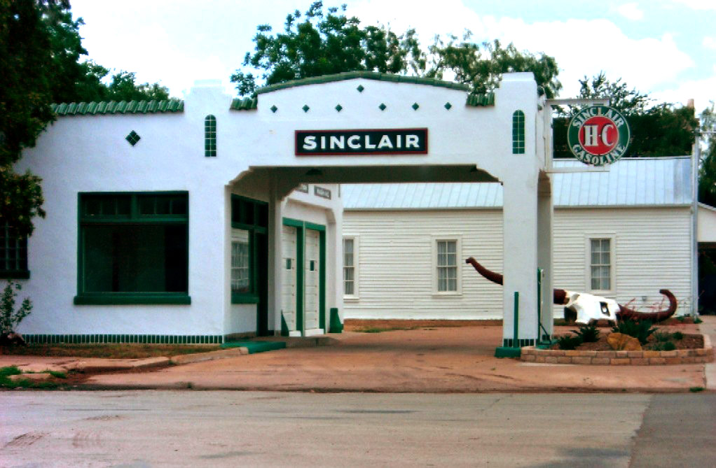
Sinclair Oil Corporation was an American petroleum corporation, founded by Harry F. Sinclair on May 1, 1916, the Sinclair Oil and Refining Corporation combined, amalgamated, the assets of 11 small petroleum companies. Originally a New York corporation, Sinclair Oil reincorporated in Wyoming in 1976. The corporation's logo featured the silhouette of a large green sauropod dinosaur, based on the then-common idea that oil deposits beneath the earth came from the dead bodies of dinosaurs. It was ranked on the list of largest privately owned American corporations. It owned and operated refineries, gas stations, hotels, a ski resort, and a cattle ranch. History Sinclair has long been a fixture on American roads with its dinosaur logo and mascot, a ''Brontosaurus''. 1916–1969 During September 1919, Harry Sinclair restructured Sinclair Oil and Refining Corporation, Sinclair Gulf Corporation, and 26 other related entities into Sinclair Consolidated Oil Corporation. In 1932, this ... [...More Info...] [...Related Items...] OR: [Wikipedia] [Google] [Baidu] |
List Of County Routes In Oneida County, New York
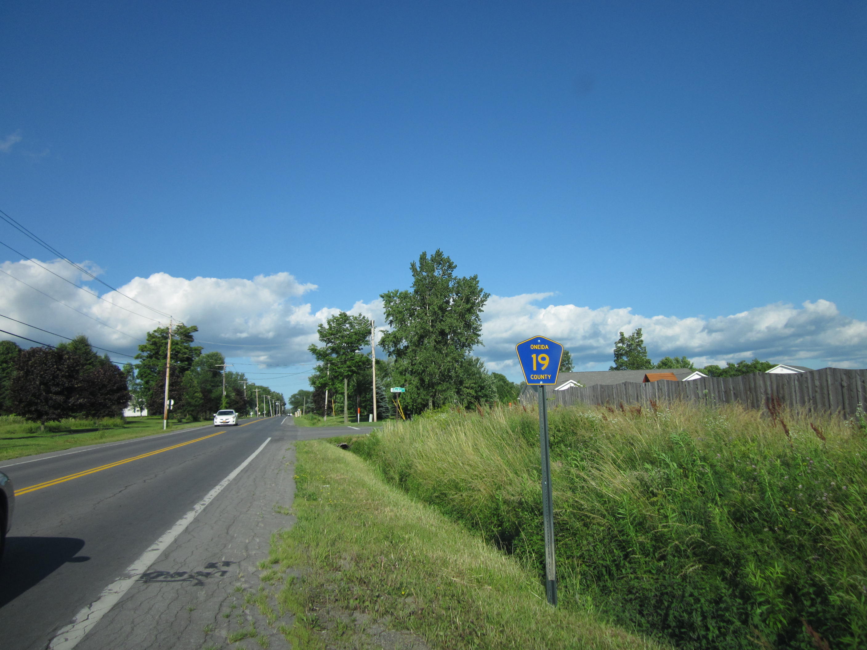
County routes in Oneida County, New York, are generally signed with the Manual on Uniform Traffic Control Devices-standard yellow-on-blue pentagon route marker. County Route 840 (CR 840) was once the only signed county route within Oneida County. Additional markers went up in 2014. __TOC__ Routes 1–50 Routes 51 and up See also *County routes in New York In the U.S. state of New York, county routes exist in all 62 counties except those in the five boroughs of New York City. Most are maintained locally by county highway departments. County route designations are assigned at the county level; as a re ... Notes References External links {{Commons category, County routes in Oneida County, New YorkEmpire State Roads – Oneida County Roads ... [...More Info...] [...Related Items...] OR: [Wikipedia] [Google] [Baidu] |
Hamlet (New York)
The administrative divisions of New York are the various units of government that provide local services in the State of New York. The state is divided into boroughs, counties, cities, townships called "towns", and villages. (The only boroughs, the five boroughs of New York City, have the same boundaries as their respective counties.) They are municipal corporations, chartered (created) by the New York State Legislature, as under the New York Constitution the only body that can create governmental units is the state. All of them have their own governments, sometimes with no paid employees, that provide local services. Centers of population that are not incorporated and have no government or local services are designated hamlets. Whether a municipality is defined as a borough, city, town, or village is determined not by population or land area, but rather on the form of government selected by the residents and approved by the New York Legislature. Each type of local government ... [...More Info...] [...Related Items...] OR: [Wikipedia] [Google] [Baidu] |
Reference Route (New York)
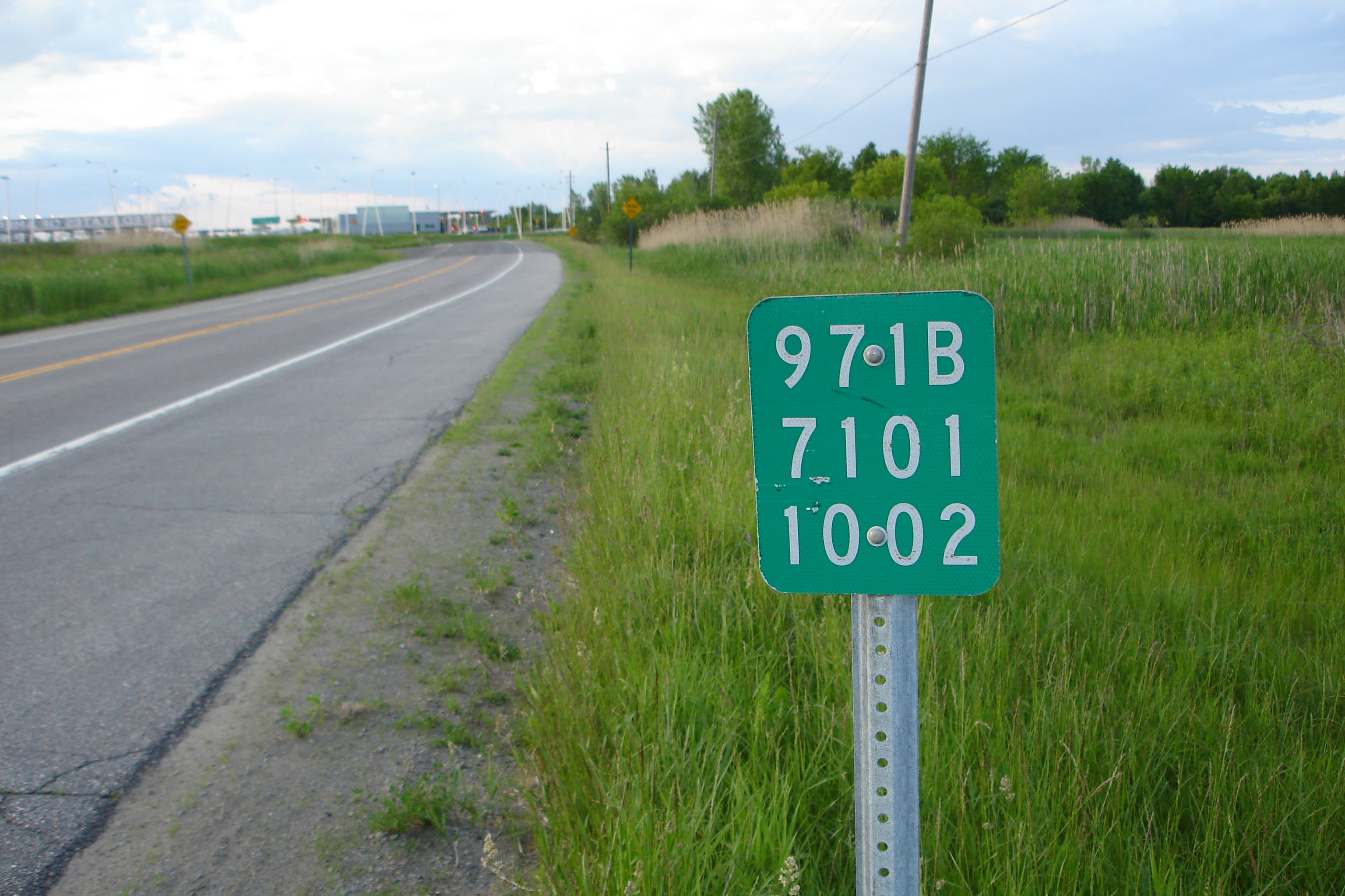
A reference route is an unsigned highway assigned by the New York State Department of Transportation (NYSDOT) to roads that possess a signed name (mainly parkways), that NYSDOT has determined are too minor to have a signed touring route number, or are former touring routes that are still state-maintained. The majority of reference routes are owned by the state of New York and maintained by NYSDOT; however, some exceptions exist. The reference route designations are normally posted on reference markers, small green signs located every tenth-mile on the side of the road, though a few exceptions exist to this practice as well. Reference route numbers are always three digit numbers in the 900s with a single alphabetic suffix. The designations are largely assigned in numerical and alphabetical order within a region, and designations are not reused once they are removed. Certain letters are avoided, such as "I" (used to indicate Interstate Highways and potential confusion with the numb ... [...More Info...] [...Related Items...] OR: [Wikipedia] [Google] [Baidu] |
New York State Route 922E
A reference route is an unsigned highway assigned by the New York State Department of Transportation (NYSDOT) to roads that possess a signed name (mainly parkways), that NYSDOT has determined are too minor to have a signed touring route number, or are former touring routes that are still state-maintained. The majority of reference routes are owned by the state of New York and maintained by NYSDOT; however, some exceptions exist. The reference route designations are normally posted on reference markers, small green signs located every tenth-mile on the side of the road, though a few exceptions exist to this practice as well. Reference route numbers are always three digit numbers in the 900s with a single alphabetic suffix. The designations are largely assigned in numerical and alphabetical order within a region, and designations are not reused once they are removed. Certain letters are avoided, such as "I" (used to indicate Interstate Highways and potential confusion with the numb ... [...More Info...] [...Related Items...] OR: [Wikipedia] [Google] [Baidu] |
Marcy, New York
Marcy is a town in Oneida County, New York, United States. The population was 8,982 at the 2010 census. The town was named after Governor William L. Marcy. It lies between the cities of Rome and Utica. The Erie Canal passes through the southern part of the town. The town is home to the SUNY Polytechnic Institute, a four-year public research university in the southeastern part of town. History The first settlers arrived ''circa'' 1773. During the American Revolution, the settlers, having been warned by a friendly Oneida Indian about an enemy raid, abandoned their farms until after the war. The town was resettled in 1792. The Town of Marcy was formed in 1832 from part of the Town of Deerfield, located to the east. In 1920, the population of Marcy was 1,919. The Neck Canal of 1730 was listed on the National Register of Historic Places in 1995. Geography According to the United States Census Bureau, the town has a total area of , of which is land and (1.35%) is water. T ... [...More Info...] [...Related Items...] OR: [Wikipedia] [Google] [Baidu] |
New York State Route 49
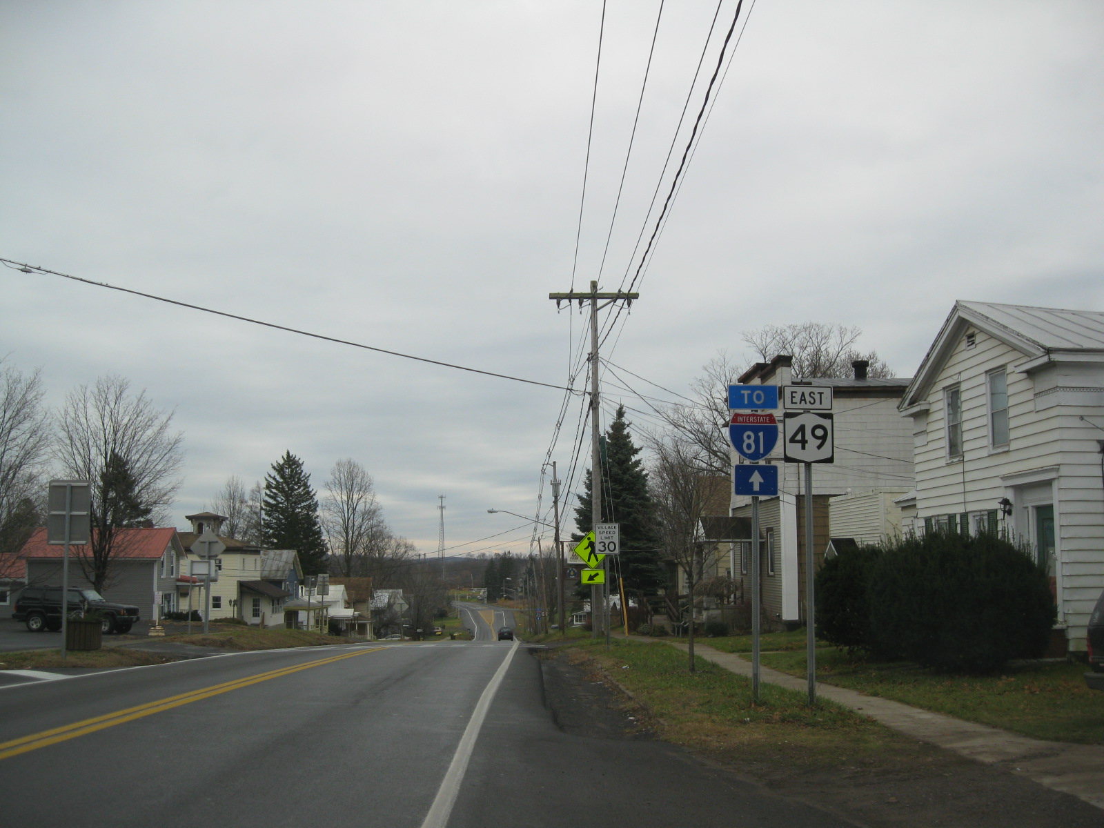
New York State Route 49 (NY 49) is an east–west state highway in central New York in the United States. It runs for just over from an intersection with NY 3 in the town of Volney (east of Fulton) in Oswego County, New York to an interchange with Interstate 790 (I-790), NY 5, NY 8 and NY 12 in the city of Utica in Oneida County. The route follows a generally northwest–southeast alignment between the two points, passing along the north shore of Oneida Lake and directly serving the city of Rome. As NY 49 heads east, it connects to several highways of regional importance, such as I-81 in the village of Central Square and NY 13 in the town of Vienna. Most of NY 49 is a two-lane surface road; however, the section between Rome and Utica is a freeway known as the Utica–Rome Expressway. When it was originally assigned in the 1920s, NY 49 began at Central Square and ended at Rome. It was extended to roughly its current leng ... [...More Info...] [...Related Items...] OR: [Wikipedia] [Google] [Baidu] |
Oriskany, New York
Oriskany ( or ) is a village in Oneida County, New York, United States. The population was 1,400 at the 2010 census. The name is derived from the Iroquois word for "nettles". The Village of Oriskany is in the Town of Whitestown, southeast of the City of Rome. NY-69 passes through the village, which is south of the Erie Canal. History The Oneida village of Oriska was established at the confluence of the Oriskany Creek and the Mohawk River before 1766. Oriska, sometimes also spelled as Ockrisk, Oriska, or Oriske, is believed to be a linguistic corruption of "Ol Hiskè" meaning "a place of nettles." On August 5, 1777, during the American Revolution, Oriska was visited by the Tryon County militia led by Brigadier General Nicholas Herkimer. The American-aligned militia was en route to Fort Stanwix to help lift a siege by allied British forces. Several dozen to one hundred Oneida joined Herkimer's militia for the trip. On the morning of August 6, 1777, the forces left Oriska for ... [...More Info...] [...Related Items...] OR: [Wikipedia] [Google] [Baidu] |
County Route 32 (Oneida County, New York)
County route A county highway (also county road or county route; usually abbreviated CH or CR) is a road in the United States and in the Canadian province of Ontario that is designated and/or maintained by the county highway department. Route numbering can ...s in Oneida County, New York, are generally signed with the Manual on Uniform Traffic Control Devices-standard yellow-on-blue pentagon route marker. County Route 840 (CR 840) was once the only signed county route within Oneida County. Additional markers went up in 2014. __TOC__ Routes 1–50 Routes 51 and up See also * County routes in New York Notes References External links {{Commons category, County routes in Oneida County, New YorkEmpire State Roads – Oneida County Roads ... [...More Info...] [...Related Items...] OR: [Wikipedia] [Google] [Baidu] |
New York State Legislature
The New York State Legislature consists of the two houses that act as the state legislature of the U.S. state of New York: The New York State Senate and the New York State Assembly. The Constitution of New York does not designate an official term for the two houses together; it says only that the state's legislative power "shall be vested in the senate and assembly". Session laws passed by the Legislature are published in the official ''Laws of New York''. Permanent New York laws of a general nature are codified in the ''Consolidated Laws of New York''. As of January 2021, the Democratic Party holds supermajorities in both houses of the New York State Legislature, which is the highest paid state legislature in the country. Legislative elections are held in November of every even-numbered year. Both Assembly members and Senators serve two-year terms. In order to be a member of either house, one must be a citizen of the United States, a resident of the state of New York for at ... [...More Info...] [...Related Items...] OR: [Wikipedia] [Google] [Baidu] |
New York (state)
New York, officially the State of New York, is a state in the Northeastern United States. It is often called New York State to distinguish it from its largest city, New York City. With a total area of , New York is the 27th-largest U.S. state by area. With 20.2 million people, it is the fourth-most-populous state in the United States as of 2021, with approximately 44% living in New York City, including 25% of the state's population within Brooklyn and Queens, and another 15% on the remainder of Long Island, the most populous island in the United States. The state is bordered by New Jersey and Pennsylvania to the south, and Connecticut, Massachusetts, and Vermont to the east; it has a maritime border with Rhode Island, east of Long Island, as well as an international border with the Canadian provinces of Quebec to the north and Ontario to the northwest. New York City (NYC) is the most populous city in the United States, and around two-thirds of the state's popul ... [...More Info...] [...Related Items...] OR: [Wikipedia] [Google] [Baidu] |
