|
Yagishiri Island
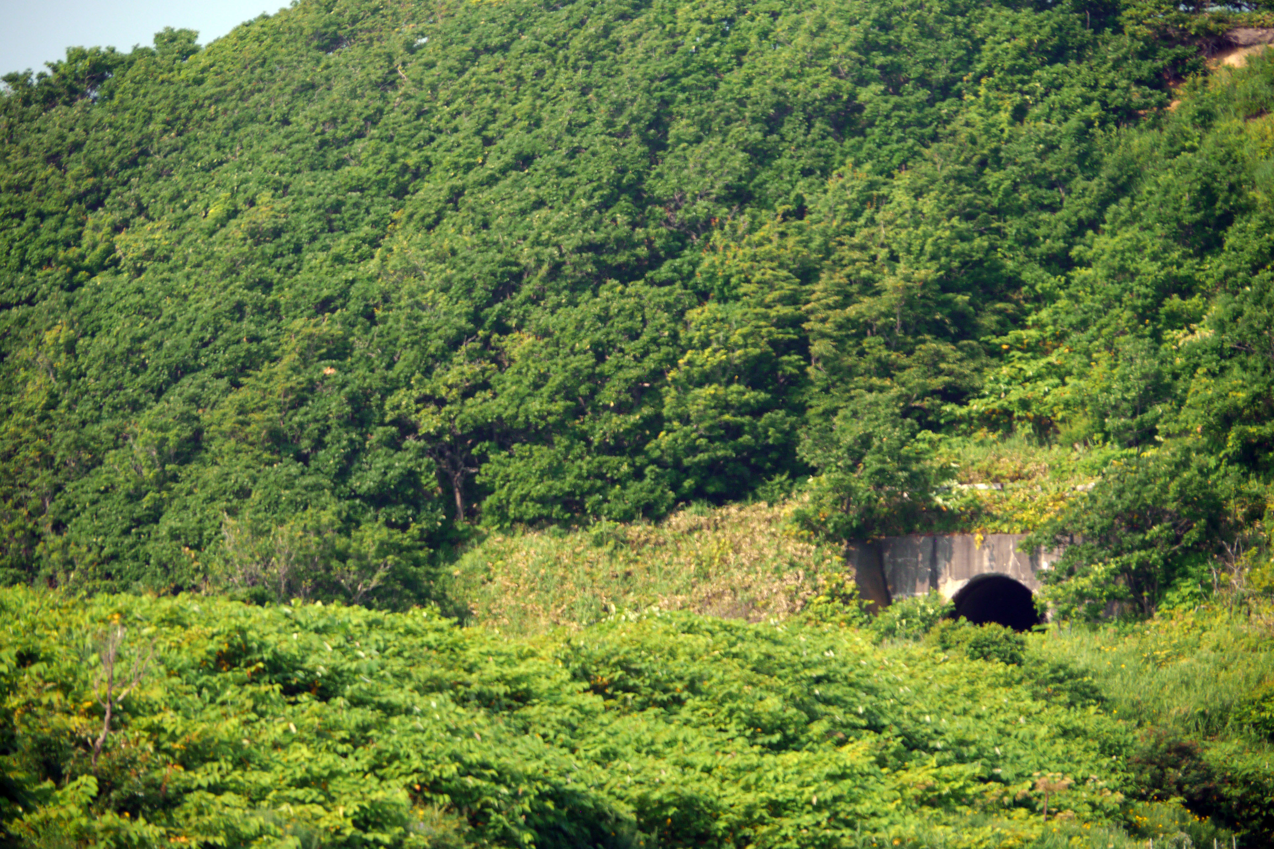
is a small, sparsely populated island in the Sea of Japan, northwest of Haboro Bay in Haboro, Hokkaido. The island, along with neighboring Teuri Island on its west side, belongs to the town of Haboro in Rumoi Subprefecture. It is noted for its dense forests; fully two-thirds of it remains forested. History Yagishiri Island, like nearby Teuri, became a base for the fishing of Pacific herring beginning in 1786. In the modern period Yagishiri Island has seen a long-term population decline: in 1947 there were 2,283 residents, by 1972 the number had fallen to 1,073, and in 2010 the population had fallen to 273. Geography Yagishiri is located east of Teuri Island, and the two islands are separated by the Musashi Channel. The island is approximately long from east to west, from north to south, and covers . It has a coastline of roughly . Yagishiri is flatter than nearby Teuri, and reaches an elevation at its center of only . Yagishiri Island is primarily composed of Tertiar ... [...More Info...] [...Related Items...] OR: [Wikipedia] [Google] [Baidu] |
Haboro, Hokkaido
is a town located in Rumoi Subprefecture, Hokkaido, Japan. As of September 2016, the town has an estimated population of 7,338. The total area is 472.49 km2. The town also administers the two islands of Yagishiri and Teuri. Haboro was officially designated a town in 1921. The villages of Teuri and Yagishiri were merged into Haboro in 1955 and 1959, respectively. Etymology The name of the town is from the Ainu language, but of uncertain origin. Haboro may have originated with the Ainu language word ''hapuru'', meaning "a soft sound", or ''haporopetsu'', meaning "the basin of a large river". In Japanese, the name of the town is written with ateji, or kanji characters used to phonetically represent native or borrowed words. The first, , means "feather" or "wings", and the second, , means "curtain" or "cloth". Geography Haboro faces the Sea of Japan. Much of the area of the town is within the Teshio Mountains, and much of the town is protected as a national forest. Mount P ... [...More Info...] [...Related Items...] OR: [Wikipedia] [Google] [Baidu] |
Port Of Yagishiri
A port is a maritime facility comprising one or more wharves or loading areas, where ships load and discharge cargo and passengers. Although usually situated on a sea coast or estuary, ports can also be found far inland, such as Hamburg, Manchester and Duluth; these access the sea via rivers or canals. Because of their roles as ports of entry for immigrants as well as soldiers in wartime, many port cities have experienced dramatic multi-ethnic and multicultural changes throughout their histories. Ports are extremely important to the global economy; 70% of global merchandise trade by value passes through a port. For this reason, ports are also often densely populated settlements that provide the labor for processing and handling goods and related services for the ports. Today by far the greatest growth in port development is in Asia, the continent with some of the world's largest and busiest ports, such as Singapore and the Chinese ports of Shanghai and Ningbo-Zhou ... [...More Info...] [...Related Items...] OR: [Wikipedia] [Google] [Baidu] |
Canopy (biology)
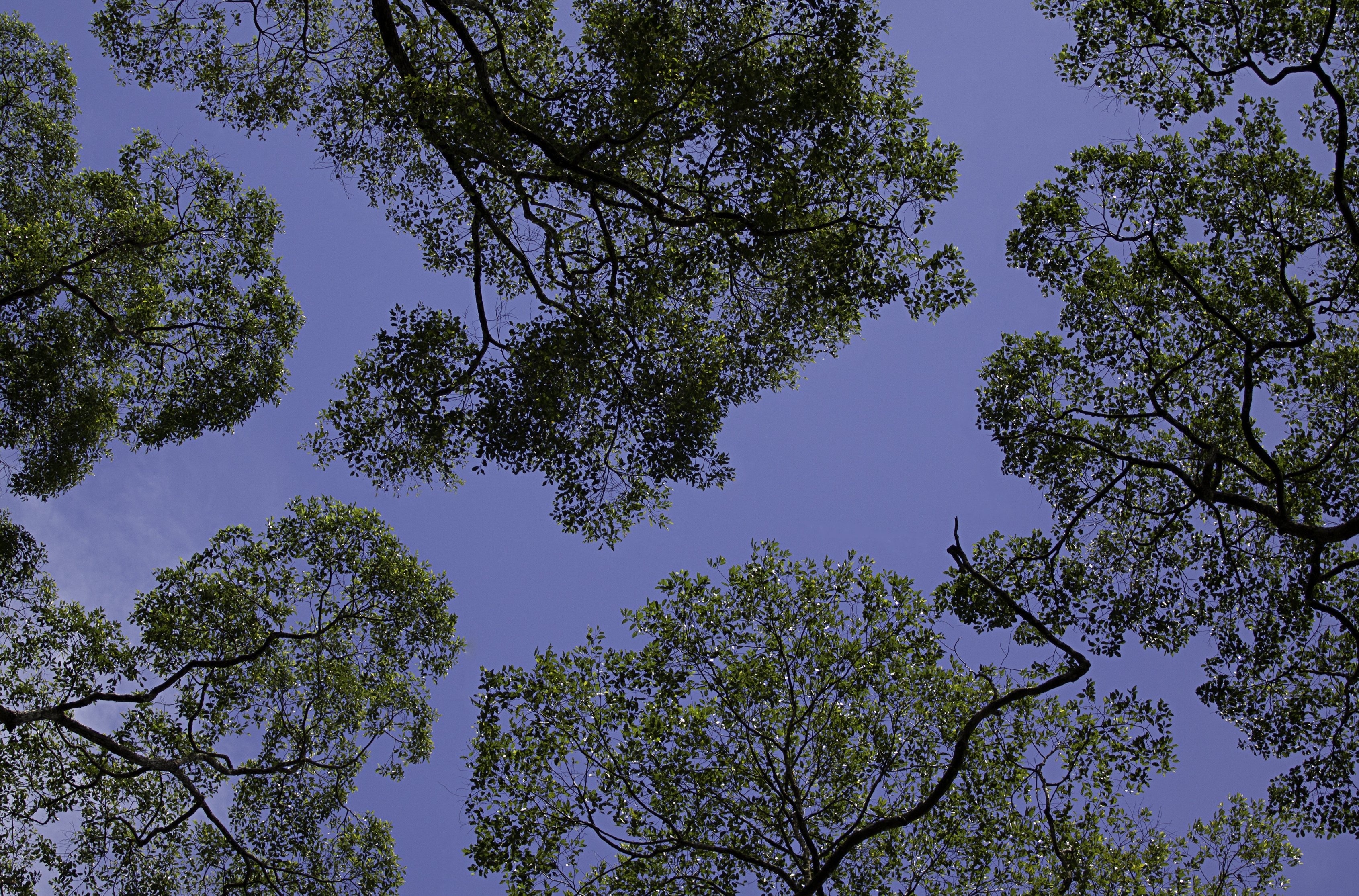
In biology, the canopy is the aboveground portion of a plant cropping or crop, formed by the collection of individual plant crowns. In forest ecology, canopy also refers to the upper layer or habitat zone, formed by mature tree crowns and including other biological organisms ( epiphytes, lianas, arboreal animals, etc.). The communities that inhabit the canopy layer are thought to be involved in maintaining forest diversity, resilience, and functioning. Sometimes the term canopy is used to refer to the extent of the outer layer of leaves of an individual tree or group of trees. Shade trees normally have a dense canopy that blocks light from lower growing plants. Observation Early observations of canopies were made from the ground using binoculars or by examining fallen material. Researchers would sometimes erroneously rely on extrapolation by using more reachable samples taken from the understory. In some cases, they would use unconventional methods such as chairs susp ... [...More Info...] [...Related Items...] OR: [Wikipedia] [Google] [Baidu] |
Hokkaido Yagishiri Ichii
is Japan, Japan's Japanese archipelago, second largest island and comprises the largest and northernmost Prefectures of Japan, prefecture, making up its own List of regions of Japan, region. The Tsugaru Strait separates Hokkaidō from Honshu; the two islands are connected by the undersea railway Seikan Tunnel. The largest city on Hokkaidō is its capital, Sapporo, which is also its only Cities designated by government ordinance of Japan, ordinance-designated city. Sakhalin lies about 43 kilometers (26 mi) to the north of Hokkaidō, and to the east and northeast are the Kuril Islands, which are administered by Russia, though the four most southerly are Kuril Islands dispute, claimed by Japan. Hokkaidō was formerly known as ''Ezo'', ''Yezo'', ''Yeso'', or ''Yesso''.Louis Frédéric, Nussbaum, Louis-Frédéric. (2005). "Hokkaidō" in Although there were Japanese settlers who ruled the southern tip of the island since the 16th century, Hokkaido was considered foreign territo ... [...More Info...] [...Related Items...] OR: [Wikipedia] [Google] [Baidu] |


