|
Yagishiri Island
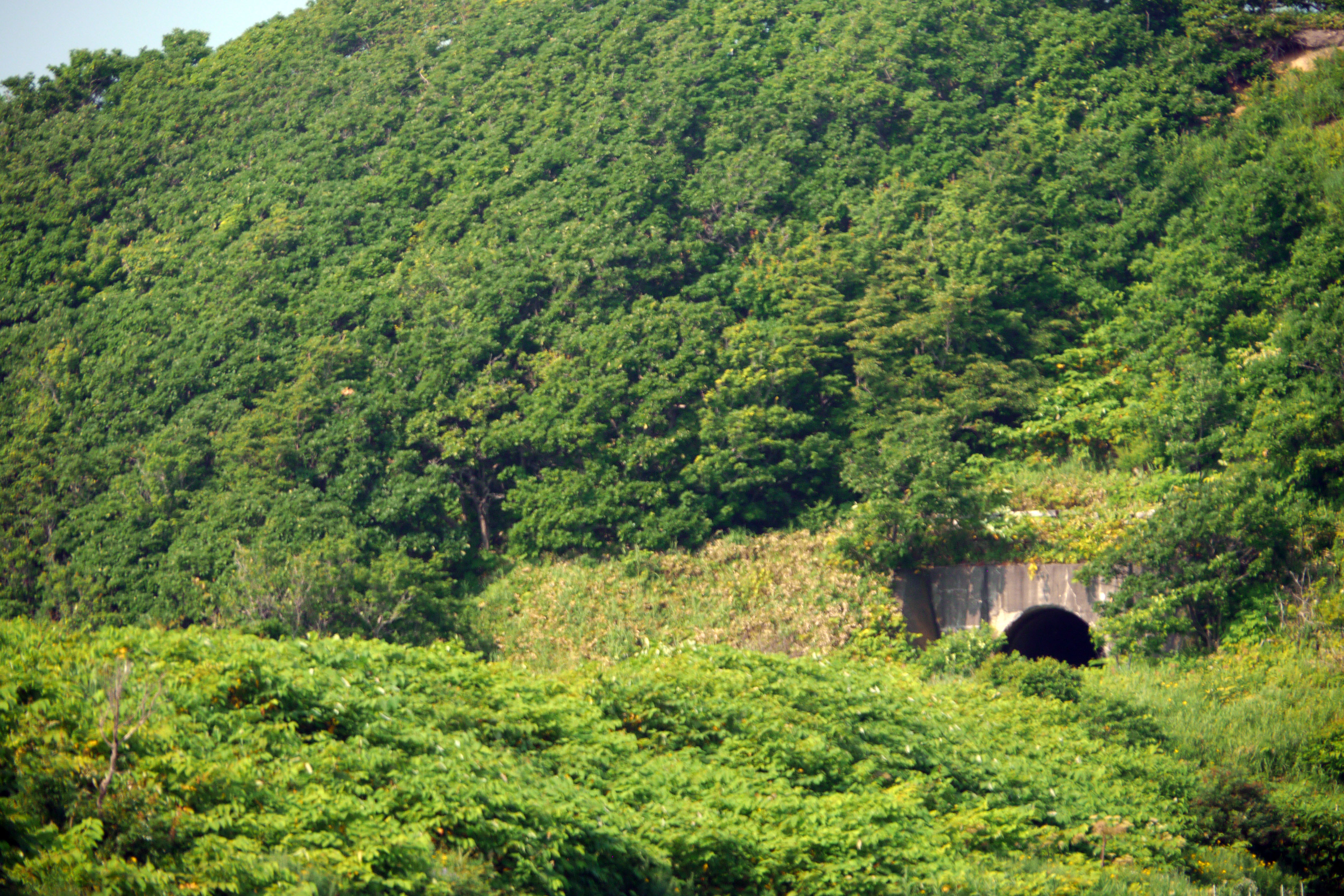
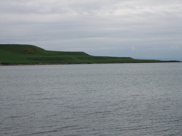
is a small, sparsely populated island in the Sea of Japan, northwest of Haboro Bay in Haboro, Hokkaido. The island, along with neighboring Teuri Island on its west side, belongs to the town of Haboro in Rumoi Subprefecture. It is noted for its dense forests; fully two-thirds of it remains forested. History Yagishiri Island, like nearby Teuri, became a base for the fishing of Pacific herring beginning in 1786. In the modern period Yagishiri Island has seen a long-term population decline: in 1947 there were 2,283 residents, by 1972 the number had fallen to 1,073, and in 2010 the population had fallen to 273. Geography Yagishiri is located east of Teuri Island, and the two islands are separated by the Musashi Channel. The island is approximately long from east to west, from north to south, and covers . It has a coastline of roughly . Yagishiri is flatter than nearby Teuri, and reaches an elevation at its center of only . Yagishiri Island is primarily composed of Tertiar ... [...More Info...] [...Related Items...] OR: [Wikipedia] [Google] [Baidu] |
Haboro, Hokkaido
is a town located in Rumoi Subprefecture, Hokkaido, Japan. As of September 2016, the town has an estimated population of 7,338. The total area is 472.49 km2. The town also administers the two islands of Yagishiri and Teuri. Haboro was officially designated a town in 1921. The villages of Teuri and Yagishiri were merged into Haboro in 1955 and 1959, respectively. Etymology The name of the town is from the Ainu language, but of uncertain origin. Haboro may have originated with the Ainu language word ''hapuru'', meaning "a soft sound", or ''haporopetsu'', meaning "the basin of a large river". In Japanese, the name of the town is written with ateji, or kanji characters used to phonetically represent native or borrowed words. The first, , means "feather" or "wings", and the second, , means "curtain" or "cloth". Geography Haboro faces the Sea of Japan. Much of the area of the town is within the Teshio Mountains, and much of the town is protected as a national forest. Mount P ... [...More Info...] [...Related Items...] OR: [Wikipedia] [Google] [Baidu] |
Port Of Yagishiri
A port is a maritime facility comprising one or more wharves or loading areas, where ships load and discharge cargo and passengers. Although usually situated on a sea coast or estuary, ports can also be found far inland, such as Hamburg, Manchester and Duluth; these access the sea via rivers or canals. Because of their roles as ports of entry for immigrants as well as soldiers in wartime, many port cities have experienced dramatic multi-ethnic and multicultural changes throughout their histories. Ports are extremely important to the global economy; 70% of global merchandise trade by value passes through a port. For this reason, ports are also often densely populated settlements that provide the labor for processing and handling goods and related services for the ports. Today by far the greatest growth in port development is in Asia, the continent with some of the world's largest and busiest ports, such as Singapore and the Chinese ports of Shanghai and Ningbo-Zhou ... [...More Info...] [...Related Items...] OR: [Wikipedia] [Google] [Baidu] |
Canopy (biology)
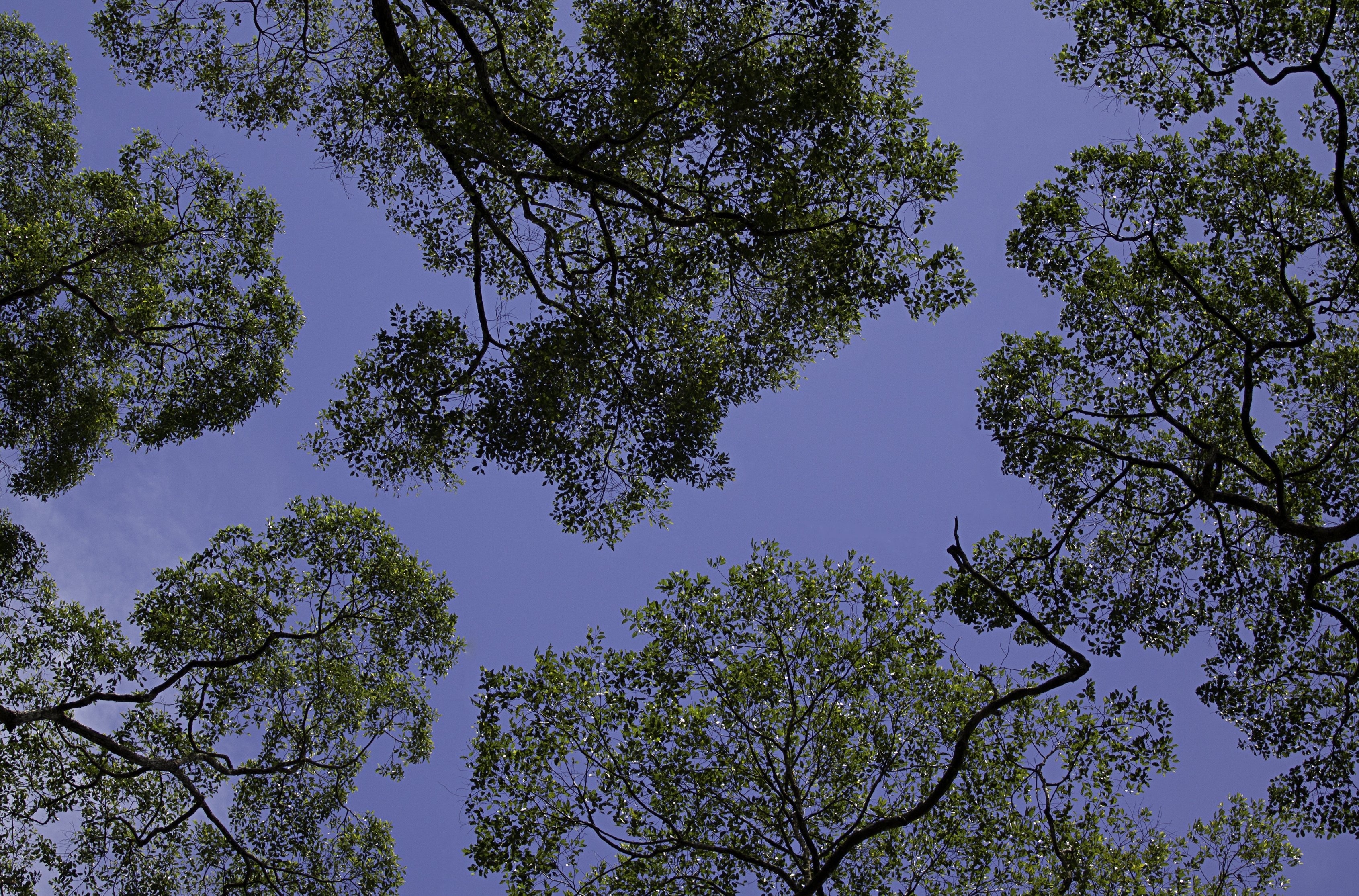
In biology, the canopy is the aboveground portion of a plant cropping or crop, formed by the collection of individual plant crowns. In forest ecology, canopy also refers to the upper layer or habitat zone, formed by mature tree crowns and including other biological organisms ( epiphytes, lianas, arboreal animals, etc.). The communities that inhabit the canopy layer are thought to be involved in maintaining forest diversity, resilience, and functioning. Sometimes the term canopy is used to refer to the extent of the outer layer of leaves of an individual tree or group of trees. Shade trees normally have a dense canopy that blocks light from lower growing plants. Observation Early observations of canopies were made from the ground using binoculars or by examining fallen material. Researchers would sometimes erroneously rely on extrapolation by using more reachable samples taken from the understory. In some cases, they would use unconventional methods such as chairs susp ... [...More Info...] [...Related Items...] OR: [Wikipedia] [Google] [Baidu] |
Hokkaido Yagishiri Ichii
is Japan, Japan's Japanese archipelago, second largest island and comprises the largest and northernmost Prefectures of Japan, prefecture, making up its own List of regions of Japan, region. The Tsugaru Strait separates Hokkaidō from Honshu; the two islands are connected by the undersea railway Seikan Tunnel. The largest city on Hokkaidō is its capital, Sapporo, which is also its only Cities designated by government ordinance of Japan, ordinance-designated city. Sakhalin lies about 43 kilometers (26 mi) to the north of Hokkaidō, and to the east and northeast are the Kuril Islands, which are administered by Russia, though the four most southerly are Kuril Islands dispute, claimed by Japan. Hokkaidō was formerly known as ''Ezo'', ''Yezo'', ''Yeso'', or ''Yesso''.Louis Frédéric, Nussbaum, Louis-Frédéric. (2005). "Hokkaidō" in Although there were Japanese settlers who ruled the southern tip of the island since the 16th century, Hokkaido was considered foreign territo ... [...More Info...] [...Related Items...] OR: [Wikipedia] [Google] [Baidu] |
Candela
The candela ( or ; symbol: cd) is the unit of luminous intensity in the International System of Units (SI). It measures luminous power per unit solid angle emitted by a light source in a particular direction. Luminous intensity is analogous to radiant intensity, but instead of simply adding up the contributions of every wavelength of light in the source's spectrum, the contribution of each wavelength is weighted by the standard luminosity function (a model of the sensitivity of the human eye to different wavelengths). A common wax candle emits light with a luminous intensity of roughly one candela. If emission in some directions is blocked by an opaque barrier, the emission would still be approximately one candela in the directions that are not obscured. The word ''candela'' is Latin for ''candle''. The old name "candle" is still sometimes used, as in ''foot-candle'' and the modern definition of ''candlepower''. Definition The 26th General Conference on Weights and Measures (C ... [...More Info...] [...Related Items...] OR: [Wikipedia] [Google] [Baidu] |
Luminous Intensity
In photometry, luminous intensity is a measure of the wavelength-weighted power emitted by a light source in a particular direction per unit solid angle, based on the luminosity function, a standardized model of the sensitivity of the human eye. The SI unit of luminous intensity is the candela (cd), an SI base unit. Measurement Photometry deals with the measurement of visible light as perceived by human eyes. The human eye can only see light in the visible spectrum and has different sensitivities to light of different wavelengths within the spectrum. When adapted for bright conditions (photopic vision), the eye is most sensitive to yellow-green light at 555 nm. Light with the same radiant intensity at other wavelengths has a lower luminous intensity. The curve which measures the response of the human eye to light is a defined standard, known as the luminosity function. This curve, denoted ''V''(λ) or \textstyle \overline(\lambda), is based on an average of widely ... [...More Info...] [...Related Items...] OR: [Wikipedia] [Google] [Baidu] |
Concrete
Concrete is a composite material composed of fine and coarse aggregate bonded together with a fluid cement (cement paste) that hardens (cures) over time. Concrete is the second-most-used substance in the world after water, and is the most widely used building material. Its usage worldwide, ton for ton, is twice that of steel, wood, plastics, and aluminum combined. Globally, the ready-mix concrete industry, the largest segment of the concrete market, is projected to exceed $600 billion in revenue by 2025. This widespread use results in a number of environmental impacts. Most notably, the production process for cement produces large volumes of greenhouse gas emissions, leading to net 8% of global emissions. Other environmental concerns include widespread illegal sand mining, impacts on the surrounding environment such as increased surface runoff or urban heat island effect, and potential public health implications from toxic ingredients. Significant research and development is ... [...More Info...] [...Related Items...] OR: [Wikipedia] [Google] [Baidu] |
Lighthouse
A lighthouse is a tower, building, or other type of physical structure designed to emit light from a system of lamps and lenses and to serve as a beacon for navigational aid, for maritime pilots at sea or on inland waterways. Lighthouses mark dangerous coastlines, hazardous shoals, reefs, rocks, and safe entries to harbors; they also assist in aerial navigation. Once widely used, the number of operational lighthouses has declined due to the expense of maintenance and has become uneconomical since the advent of much cheaper, more sophisticated and effective electronic navigational systems. History Ancient lighthouses Before the development of clearly defined ports, mariners were guided by fires built on hilltops. Since elevating the fire would improve the visibility, placing the fire on a platform became a practice that led to the development of the lighthouse. In antiquity, the lighthouse functioned more as an entrance marker to ports than as a warning signal for reefs a ... [...More Info...] [...Related Items...] OR: [Wikipedia] [Google] [Baidu] |
Cliff
In geography and geology, a cliff is an area of rock which has a general angle defined by the vertical, or nearly vertical. Cliffs are formed by the processes of weathering and erosion, with the effect of gravity. Cliffs are common on coasts, in mountainous areas, escarpments and along rivers. Cliffs are usually composed of rock that is resistant to weathering and erosion. The sedimentary rocks that are most likely to form cliffs include sandstone, limestone, chalk, and dolomite. Igneous rocks such as granite and basalt also often form cliffs. An escarpment (or scarp) is a type of cliff formed by the movement of a geologic fault, a landslide, or sometimes by rock slides or falling rocks which change the differential erosion of the rock layers. Most cliffs have some form of scree slope at their base. In arid areas or under high cliffs, they are generally exposed jumbles of fallen rock. In areas of higher moisture, a soil slope may obscure the talus. Many cliffs also fea ... [...More Info...] [...Related Items...] OR: [Wikipedia] [Google] [Baidu] |
Marine Terrace
A raised beach, coastal terrace,Pinter, N (2010): 'Coastal Terraces, Sealevel, and Active Tectonics' (educational exercise), from 2/04/2011/ref> or perched coastline is a relatively flat, horizontal or gently inclined surface of marine origin,Pirazzoli, PA (2005a): 'Marine Terraces', in Schwartz, ML (ed) ''Encyclopedia of Coastal Science.'' Springer, Dordrecht, pp. 632–633 mostly an old abrasion platform which has been lifted out of the sphere of wave activity (sometimes called "tread"). Thus, it lies above or under the current sea level, depending on the time of its formation.Strahler AH; Strahler AN (2005): ''Physische Geographie.'' Ulmer, Stuttgart, 686 p.Leser, H (ed)(2005): ‚''Wörterbuch Allgemeine Geographie.'' Westermann&Deutscher Taschenbuch Verlag, Braunschweig, 1119 p. It is bounded by a steeper ascending slope on the landward side and a steeper descending slope on the seaward side (sometimes called "riser"). Due to its generally flat shape, it is often used for ... [...More Info...] [...Related Items...] OR: [Wikipedia] [Google] [Baidu] |
Andesite
Andesite () is a volcanic rock of intermediate composition. In a general sense, it is the intermediate type between silica-poor basalt and silica-rich rhyolite. It is fine-grained (aphanitic) to porphyritic in texture, and is composed predominantly of sodium-rich plagioclase plus pyroxene or hornblende. Andesite is the extrusive equivalent of plutonic diorite. Characteristic of subduction zones, andesite represents the dominant rock type in island arcs. The average composition of the continental crust is andesitic. Along with basalts, andesites are a component of the Martian crust. The name ''andesite'' is derived from the Andes mountain range, where this rock type is found in abundance. It was first applied by Christian Leopold von Buch in 1826. Description Andesite is an aphanitic (fine-grained) igneous rock that is intermediate in its content of silica and low in alkali metals. It has less than 20% quartz and 10% feldspathoid by volume, with at least 65% of the fe ... [...More Info...] [...Related Items...] OR: [Wikipedia] [Google] [Baidu] |


