|
Würrich
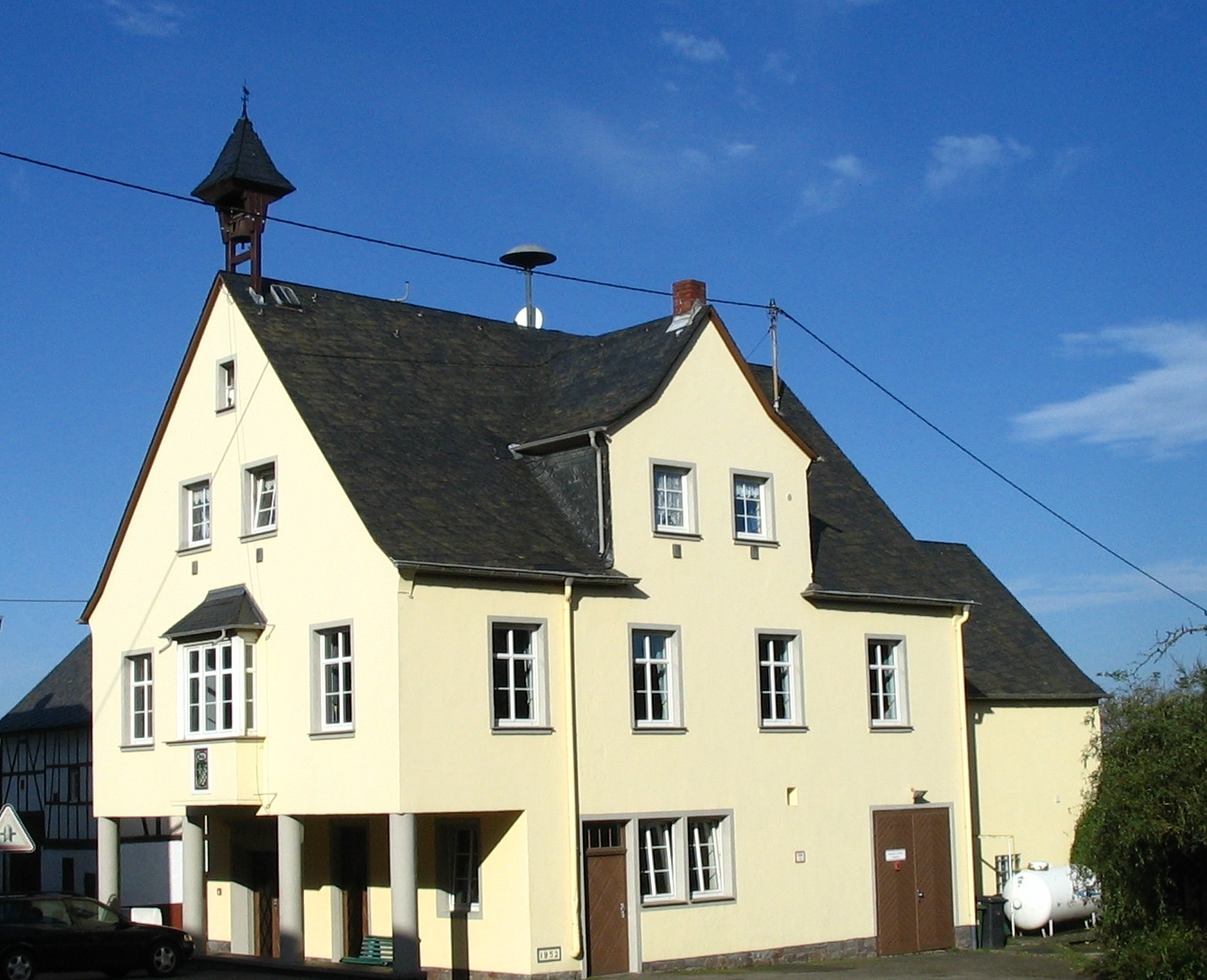
Würrich is an ''Ortsgemeinde'' – a Municipalities of Germany, municipality belonging to a ''Verbandsgemeinde'', a kind of collective municipality – in the Rhein-Hunsrück-Kreis (Districts of Germany, district) in Rhineland-Palatinate, Germany. It belongs to the Kirchberg (Verbandsgemeinde), ''Verbandsgemeinde'' of Kirchberg, whose seat is in the Kirchberg, Rhein-Hunsrück, like-named town. Geography Location The municipality lies in the central Hunsrück, right on the ''Hunsrückhöhenstraße'' (“Hunsrück Heights Road” – also called ''Bundesstraße'' 327 – a scenic road across the Hunsrück built originally as a military road on Hermann Göring’s orders), just outside Frankfurt-Hahn Airport, roughly 8 km west-northwest of Kirchberg and 10 km southeast of the Moselle (river), Moselle at Zell (Mosel), Zell. History Bearing witness to Würrich's early history is a Ancient Rome, Roman estate that was unearthed in 1870. In 1295, Würrich had its first docum ... [...More Info...] [...Related Items...] OR: [Wikipedia] [Google] [Baidu] |
Kirchberg (Verbandsgemeinde)
Kirchberg is a ''Verbandsgemeinde'' ("collective municipality") in the Rhein-Hunsrück district, in Rhineland-Palatinate, Germany. Its seat is in Kirchberg. The ''Verbandsgemeinde'' Kirchberg consists of the following ''Ortsgemeinden'' ("local municipalities"): Verbandsgemeinde in Rhineland-Palatinate {{RheinHunsrück-geo-stub ... [...More Info...] [...Related Items...] OR: [Wikipedia] [Google] [Baidu] |
Rhein-Hunsrück-Kreis
Rhein-Hunsrück-Kreis is a district (german: Kreis) in the middle of Rhineland-Palatinate, Germany. The neighbouring districts are (from north clockwise) Mayen-Koblenz, Rhein-Lahn, Mainz-Bingen, Bad Kreuznach, Birkenfeld, Bernkastel-Wittlich, Cochem-Zell. History The district was created in 1969, when the districts of St. Goar and Simmern were merged. In 2014 it was expanded with the municipalities Lahr, Mörsdorf and Zilshausen, previously part of Cochem-Zell. Geography The name of the district already mentions the two main geographic features of the district - the river Rhine which forms the boundary to the north-east and the hills of the Hunsrück cover most of the area of the district. The Frankfurt-Hahn Airport is located in the district. Partnerships In 1962, Simmern began a friendship pact with the French region Bourgogne, which was continued after the merging with the St. Goar. In 1985 a partnership was started with the district Nyaruguru (at that time called the mu ... [...More Info...] [...Related Items...] OR: [Wikipedia] [Google] [Baidu] |
Kirchberg, Rhein-Hunsrück
Kirchberg, the ''Stadt auf dem Berg'' (“Town on the Mountain”), called ''Kerbrich'' in Moselle Franconian, is a town in the Rhein-Hunsrück-Kreis (district) in Rhineland-Palatinate, Germany. It is the seat of the like-named ''Verbandsgemeinde'', to which it also belongs. Geography Location The town lies in the Hunsrück, 10 km west of the district seat of Simmern and 12 km east of Frankfurt-Hahn Airport. Kirchberg's skyline, with its three towers – two churchtowers and one watertower – can be seen from a long way off, for they stand on raised land that gives the town its nickname “Town on the Mountain”. From the churchtower at Saint Michael's, the following places can be seen: to the southeast, the Soonwald (a heavily wooded section of the west-central Hunsrück) with the Koppenstein castle ruin; to the south, the Lützelsoon (a little outlier of the Soonwald); to the southwest, the Idarkopf and the Erbeskopf (mountains, the latter of which, at 816&nb ... [...More Info...] [...Related Items...] OR: [Wikipedia] [Google] [Baidu] |
Baden
Baden (; ) is a historical territory in South Germany, in earlier times on both sides of the Upper Rhine but since the Napoleonic Wars only East of the Rhine. History The margraves of Baden originated from the House of Zähringen. Baden is named after the margraves' residence, in Baden-Baden. Hermann II of Baden first claimed the title of Margrave of Baden in 1112. A united Margraviate of Baden existed from this time until 1535, when it was split into the two Margraviates of Baden-Durlach and Baden-Baden. Following a devastating fire in Baden-Baden in 1689, the capital was moved to Rastatt. The two parts were reunited in 1771 under Margrave Charles Frederick. The restored Margraviate with its capital Karlsruhe was elevated to the status of electorate in 1803. In 1806, the Electorate of Baden, receiving territorial additions, became the Grand Duchy of Baden. The Grand Duchy of Baden was a state within the German Confederation until 1866 and the German Empire until 1918, ... [...More Info...] [...Related Items...] OR: [Wikipedia] [Google] [Baidu] |
Belg
Belg is an ''Ortsgemeinde'' – a municipality belonging to a ''Verbandsgemeinde'', a kind of collective municipality – in the Rhein-Hunsrück-Kreis (district) in Rhineland-Palatinate, Germany. It belongs to the ''Verbandsgemeinde'' of Kirchberg, whose seat is in the like-named town. Geography The municipality lies in the central Hunsrück, right on the ''Hunsrückhöhenstraße'' (“Hunsrück Heights Road”, a scenic road across the Hunsrück built originally as a military road on Hermann Göring’s orders; the stretch running through Belg is nowadays designated ''Bundesstraße'' 327). History In 1295, Belg had its first documentary mention in connection with the Counts of Sponheim. This noble house enfeoffed two others with estates. As early as the 11th century, slate was being mined in the Belger Bachtal (valley), and 15 mines were still being worked into the 20th century. Beginning in 1794, Belg lay under French rule. In 1815 it was assigned to the Kingdom of Prussia at ... [...More Info...] [...Related Items...] OR: [Wikipedia] [Google] [Baidu] |
France
France (), officially the French Republic ( ), is a country primarily located in Western Europe. It also comprises of Overseas France, overseas regions and territories in the Americas and the Atlantic Ocean, Atlantic, Pacific Ocean, Pacific and Indian Oceans. Its Metropolitan France, metropolitan area extends from the Rhine to the Atlantic Ocean and from the Mediterranean Sea to the English Channel and the North Sea; overseas territories include French Guiana in South America, Saint Pierre and Miquelon in the North Atlantic, the French West Indies, and many islands in Oceania and the Indian Ocean. Due to its several coastal territories, France has the largest exclusive economic zone in the world. France borders Belgium, Luxembourg, Germany, Switzerland, Monaco, Italy, Andorra, and Spain in continental Europe, as well as the Kingdom of the Netherlands, Netherlands, Suriname, and Brazil in the Americas via its overseas territories in French Guiana and Saint Martin (island), ... [...More Info...] [...Related Items...] OR: [Wikipedia] [Google] [Baidu] |
Prussia
Prussia, , Old Prussian: ''Prūsa'' or ''Prūsija'' was a German state on the southeast coast of the Baltic Sea. It formed the German Empire under Prussian rule when it united the German states in 1871. It was ''de facto'' dissolved by an emergency decree transferring powers of the Prussian government to German Chancellor Franz von Papen in 1932 and ''de jure'' by an Allied decree in 1947. For centuries, the House of Hohenzollern ruled Prussia, expanding its size with the Prussian Army. Prussia, with its capital at Königsberg and then, when it became the Kingdom of Prussia in 1701, Berlin, decisively shaped the history of Germany. In 1871, Prussian Minister-President Otto von Bismarck united most German principalities into the German Empire under his leadership, although this was considered to be a "Lesser Germany" because Austria and Switzerland were not included. In November 1918, the monarchies were abolished and the nobility lost its political power during the Ger ... [...More Info...] [...Related Items...] OR: [Wikipedia] [Google] [Baidu] |
Congress Of Vienna
The Congress of Vienna (, ) of 1814–1815 was a series of international diplomatic meetings to discuss and agree upon a possible new layout of the European political and constitutional order after the downfall of the French Emperor Napoleon Bonaparte. Participants were representatives of all European powers and other stakeholders, chaired by Austrian statesman Klemens von Metternich, and held in Vienna from September 1814 to June 1815. The objective of the Congress was to provide a long-term peace plan for Europe by settling critical issues arising from the French Revolutionary Wars and the Napoleonic Wars without the use of (military) violence. The goal was not simply to restore old boundaries, but to resize the main powers so they could balance each other and remain at peace, being at the same time shepherds for the smaller powers. More fundamentally, strongly generalising, conservative thinking leaders like Von Metternich also sought to restrain or eliminate republicanism, ... [...More Info...] [...Related Items...] OR: [Wikipedia] [Google] [Baidu] |
County Of Sponheim
The County of Sponheim (german: Grafschaft Sponheim, former spelling: Spanheim, Spanheym) was an independent territory in the Holy Roman Empire that lasted from the 11th century until the early 19th century. The name comes from the municipality of Sponheim, where the counts had their original residence. Geography The territory was located roughly between the rivers Rhine, Moselle, and Nahe, in the present state of Rhineland-Palatinate, around the Hunsrück region. It bordered the Electorate of Trier to the north and west, the Raugraviate, the Electorate of Mainz and the Electorate of the Palatinate to the east and the County of Veldenz to the south and west, among other states. History Beginnings The family of Sponheim, or Spanheim (German: ''Spanheimer''), has been documented since the 11th century. There are two main branches which are certainly related, but whose exact relationship is still debated. The branch of the Dukes of Carinthia descends from Siegfried I, ... [...More Info...] [...Related Items...] OR: [Wikipedia] [Google] [Baidu] |
Roscheider Hof Open Air Museum
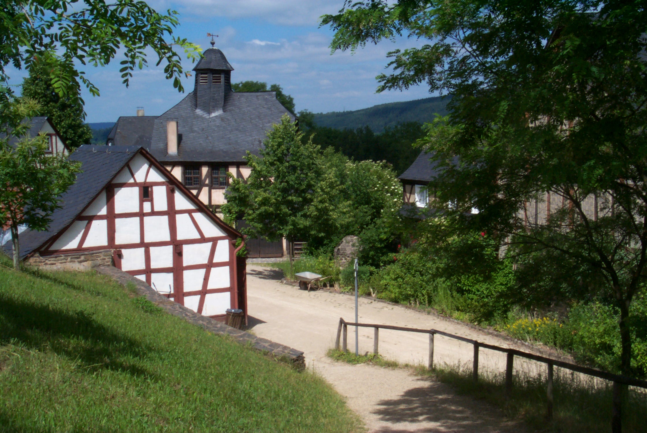
The Roscheider Hof Open Air Museum is the open-air museum and Folklore Museum of the Greater SaarLorLux Region. The museum is situated in Konz, Germany, on the Saar and Mosel rivers, 8 km west of Trier and 30 km east of Luxembourg. It is a museum for rural cultural history in northwest Rhineland-Palatinate and the German-Luxembourg-Lorraine border region. Unlike many other open-air museums, the Roscheider Hof is not a public or community institution. The sponsoring organisation for the museum since its foundation has been the registered, non-profit association founded in 1973, "Volkskunde- und Freilichtmuseum Roscheider Hof, Konz e.V." with over 1000 members in 2007. The museum is financed by membership fees, entrance charges, subsidies and donations. The founder of the association was Prof. Rolf Robischon. Attractions * 4000 m² of folklore exhibitions ranging from winegrowing to dentistry in the historical exhibition building and, since autumn of 2006, in the new ... [...More Info...] [...Related Items...] OR: [Wikipedia] [Google] [Baidu] |


