|
Wufeng District
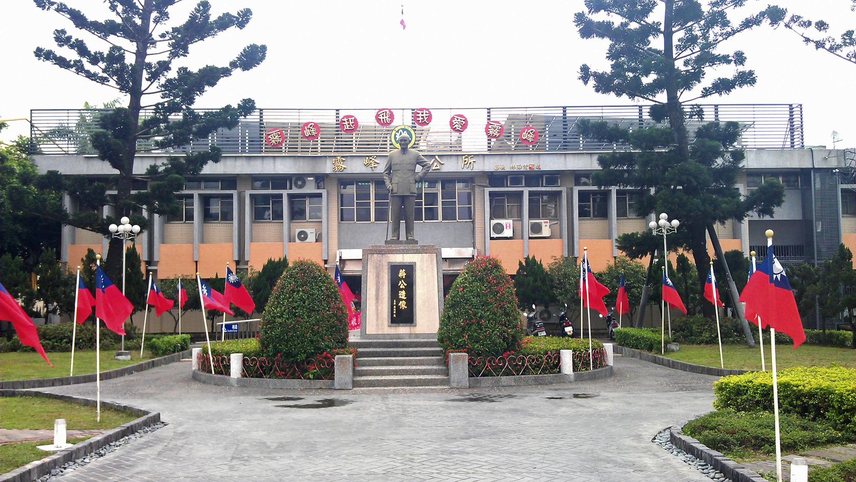
Wufeng District () is a suburban district in southern Taichung, Taiwan. It is the location of Taiwan Provincial Consultative Council. Wufeng is a mainly agricultural town. It was heavily damaged by the Jiji earthquake on 21 September 1999, which caused around 100 deaths in the town. The 921 Earthquake Museum of Taiwan, which commemorates the giant quake, is built at what was formerly Guangfu Junior High School, which was destroyed when part of the school was uplifted by the Chelungpu Fault during the quake. The two major geographical features of this town are the Wu Xi (Wu Stream), which forms the town's southern border, and Xiangbi Shan (Elephant Trunk Mountain), which lies in the eastern part of the township. History Formerly called ''Atabu'' (). Administrative divisions Tonglin, Jifeng, Jiayin, Benxiang, Zhongzheng, Jinrong, Laiyuan, Bentang, Beiliu, Nanliu, Side, Wufu, Dingtai, Beishi, Nanshi, Wanfeng, Jiuzheng, Kengkou, Fenggu Liugu Village. Geography * Area: 98.0 ... [...More Info...] [...Related Items...] OR: [Wikipedia] [Google] [Baidu] |
District (Taiwan)
Districts are administrative subdivisions of the Taiwan, Republic of China (Taiwan)'s special municipality (Taiwan), special municipalities of the second level and provincial city (Taiwan), provincial cities of the third level formerly under its Provinces of China, provinces. There are two types of district in the administrative scheme. Ordinary districts are governed directly by the municipality/city government with district administrators appointed by the mayors to four-year terms. The mountain indigenous district is a local government body with elected district chiefs as well as district council serving four-year terms. History The first administrative divisions entitled "districts" were established in the 1900s when Taiwan was Taiwan under Japanese rule, under Japanese rule. After the World War II, nine (9) out of eleven (11) Cities of Japan, prefectural cities established by the Japanese government were reform into provincial cities. These cities are Changhua, Chiayi, Hsin ... [...More Info...] [...Related Items...] OR: [Wikipedia] [Google] [Baidu] |
Assembly Affairs Museum, The Legislative Yuan
The Assembly Affairs Museum, The Legislative Yuan () is a museum in Wufeng District, Taichung, Taiwan. History The museum was established by Legislative Yuan Secretary-General Lin Hsi-shan to maintain and make public the historical data of the legislature and continued the archival work of Legislative Yuan. Exhibitions ;Section 1 * The collection, collation, analysis, research, archival and digitization of the documents and artifacts-related to the history of assembly development * The collection and collation of the documents and artifacts-related to the history of local assembly development * The collection and collation of local assembly publications * Worldwide inter-museum cooperation and exchange ;Section 2 * The utilization and exhibition of the documents and artifacts-related to the history of assembly development * The utilization and exhibition of the documents and artifacts-related to the history of local assembly development * The utilization and exhibition of loca ... [...More Info...] [...Related Items...] OR: [Wikipedia] [Google] [Baidu] |
Caotun
Caotun Township, formerly transliterated as Tsaotun Township, is an urban Township (Taiwan), township in the northwest of Nantou County, Taiwan. It is the largest township in Taiwan by population. History The area was historically known as ''Chháu-ê-tun'' () with the present name adopted under Taiwan under Japanese rule, Japanese rule in 1920. Administrative divisions The township comprises 27 villages: Beishi, Beitou, Bifeng, Bizhou, Duihe, Fuliao, Fuxing, Heping, Jialao, Mingzheng, Nanpu, Pingding, Pinglin, Shanglin, Shanjiao, Shichuan, Shuangdong, Tucheng, Xincuo, Xinfeng, Xinzhuang, Yanfeng, Yufeng, Yushi, Zhongshan, Zhongyuan and Zhongzheng. Education * Nan Kai University of Technology Tourist attractions * Caotun Night Market * Jiujiufeng * Taiwan Times Village * Yu-hsiu Museum of Art Transportation The nearest train station to Caotun is the Yuanlin railway station, Yuanlin Station of the Taiwan Railway Administration in Changhua County. Taichung City Bus route 108 ha ... [...More Info...] [...Related Items...] OR: [Wikipedia] [Google] [Baidu] |
Taichung Metropolitan Night View From WuFeng District
Taichung (, Wade–Giles: ''Tʻai²-chung¹'', pinyin: ''Táizhōng''), officially Taichung City, is a special municipality located in central Taiwan. Taichung has approximately 2.8 million residents and is the second most populous city of Taiwan, as well as the most populous city in Central Taiwan. It serves as the core of the Taichung–Changhua metropolitan area, the second largest metropolitan area in Taiwan. Located in the Taichung Basin, the city was initially developed from several scattered hamlets helmed by the Taiwanese indigenous peoples. It was constructed to be the new capital of Taiwan Province and renamed as " Taiwan-fu" in the late Qing dynastic era between 1887 and 1894. During the Japanese era from 1895, the urban planning of present-day city of Taichung was performed and developed by the Japanese. From the start of ROC rule in 1945, the urban area of Taichung was organized as a provincial city up until 25 December 2010, when the original provincial city and ... [...More Info...] [...Related Items...] OR: [Wikipedia] [Google] [Baidu] |
Nantun District
Nantun District () is an urban district in Taichung, Taiwan. It was a part of Taichung before the City and County were amalgamated in 2010. History The district used to be part of Taichung provincial city before the merger with Taichung County to form Taichung special municipality on 25 December 2010. Nantun is home to Liming New Village, a planned community containing multiple government offices. Administrative divisions Nantun, Fengle, Fengshu, Zhonghe, Zengping, Chunshe, Chunan, Wenshan, Baoshan, Xinsheng, Yongding, Sancuo, Sanyi, Sanhe, Liming, Gouqi, Daye, Huizhong, Tianxin, Xiangxin, Wenxin, Tongxin, Datong, Daxing and Dacheng Village. Government institutions * National Land Surveying and Mapping Center * Water Resources Agency Education * Ling Tung University Tourist attractions * Fengle Sculpture Park * Fulfillment Amphitheater * Ling Tung Numismatic Museum * Rainbow Village * Taichung Mosque Transportation * Feng-le Park, Jiuzhangli, Nantun, Shui'an Temple and ... [...More Info...] [...Related Items...] OR: [Wikipedia] [Google] [Baidu] |
Beitun District
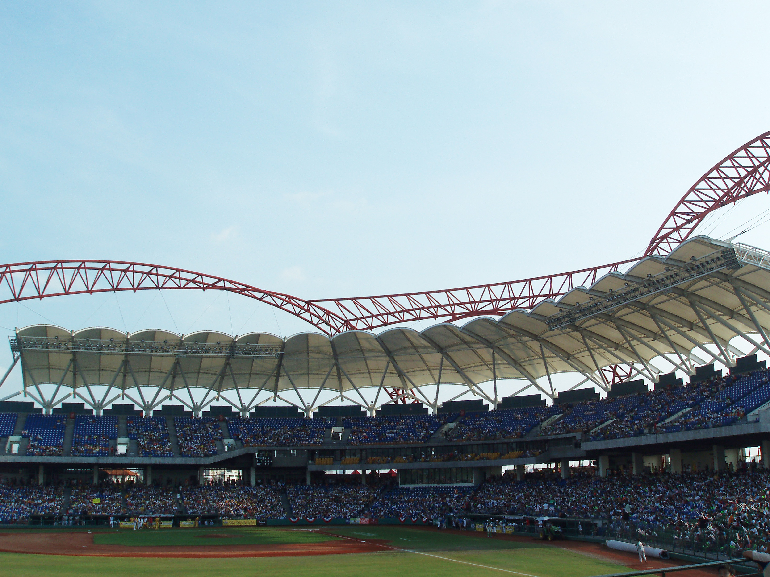
Beitun District (; lit: northern camp) is a district in Taichung, Taiwan. Located in the northern part of the city, it is a half mountainous, half urban area. Though Beitun District used to be considered part of the countryside, the new Taiyuan Station has urbanized it considerably. The highest point of Taichung City is located in Beitun, Douliu Hill (859 m). History The district used to be part of Taichung provincial city before the merger with Taichung County to form Taichung special municipality on 25 December 2010. Administrative divisions Beitun District is divided into 42 Li (里, or villages): Education * Central Taiwan University of Science and Technology * Morrison Academy Spots * Taichung Intercontinental Baseball Stadium Tourist attractions * Beitun Wenchang Temple * Dakeng hiking and biking trails * Songzhu Temple * Taichung Folklore Park * Taichung Military Kindred Village Museum * Yide Mansion Transportation Railway * Songzhu railway station * Taiyuan ... [...More Info...] [...Related Items...] OR: [Wikipedia] [Google] [Baidu] |
Provincial Highway 63 (Taiwan)
Provincial Highway 63 () is a limited-access highway, which begins in Taichung at the intersection of Guoguang Road (Provincial Highway No. 3) and Zhongming South Road and ends in Caotun, Nantou on Bixing Road (Provincial Road 14B). It is commonly known as Zhongtou (Taichung-Nantou) Highway. Length The total length of the highway is 19.023 km. However, the viaduct actually begins at 1.8 km (on Wuquan South Road). Exit list {, class="plainrowheaders wikitable" , - !scope=col, City !scope=col, Location !scope=col, km !scope=col, Mile !scope=col, Exit !scope=col, Name !scope=col, Destinations !scope=col, Notes , - , colspan=8 style="text-align:center;" , Begin Viaduct , colspan=8 style="text-align:center;" , End Viaduct Major Cities Along the Route *Taichung *Caotun, Nantou Intersections with other Freeways and Expressways *None. However, it crosses National Highway No. 3 near Zhongtou IC. in Wufeng, Taichung. To access National Highway No. 3, ... [...More Info...] [...Related Items...] OR: [Wikipedia] [Google] [Baidu] |
Provincial Highway 3 (Taiwan)
Provincial Highway 3 () is a 435.608kilometre, km long Highway System in Taiwan, Taiwanese highway that starts in Taipei and ends in Pingtung City, Pingtung. Also known as Inner-Mountain Highway (內山公路), the road travels through mountainous towns in Western Taiwan and was the major route for the area until National Freeway 3, Freeway 3 was built. Route Description The route is also known as Zhongfeng Highway (中豐公路) between Longtan District, Taoyuan, Longtan and Fengyuan District, Fengyuan, Zhongtan Highway (中潭公路) between central Taichung City and Caotun, Nantou, Caotun, and Yunmi Armaments Road (澐密戰備道路) between Zhongpu, Chiayi and Nansi District, Tainan, Nansi in Tainan City. Since the highway runs roughly parallel to Freeway 3 for the majority of its length, it is now primarily a highway providing local access as well as a scenic alternative route to the freeway. The highway begins in Taipei City near the Executive Yuan. After a brief concurr ... [...More Info...] [...Related Items...] OR: [Wikipedia] [Google] [Baidu] |
National Freeway 6
National freeway 6, also known as Shuishalian Freeway or Central East-West Freeway, is a freeway between Wufeng, Taichung and Puli, Nantou, and all of the main line was already open to traffic on 21 March 2009. The freeway runs parallel with provincial highway 14 for most of its length. Length The length is about 37.6 km between Wufeng, Taichung and Puli, Nantou. Exit List Background Its construction began on 25 March 2004. On 27 January 2008, the main line between Ailan IC and Puli terminal was open to traffic. Then, the main line between Wufeng JCT and East Caotun IC, and the East Caotun connection way were open to traffic on 27 December 2008. The other part of main line between east Caotun IC and Ailan IC was already open to traffic on 21 March 2009. Afterwards, Guoxing IC was open to traffic on 22 October 2009. Then, Jiuzheng IC was open to traffic on 31 January 2011. Beishan IC was completed on 21 November 2013. There is a plan to extend the r ... [...More Info...] [...Related Items...] OR: [Wikipedia] [Google] [Baidu] |
National Freeway 3
National Freeway 3 (), also known as Formosa Freeway (), is a freeway in Taiwan. It is the second north–south freeway in Taiwan, beginning in Keelung City at Jijin Interchange on the provincial highway 2 (Jijin Road) and ending in Linbian, Pingtung on the provincial highway 17. It is the longest freeway in Taiwan with a total length of . The freeway is also the only one in Taiwan to have a spur route, Freeway 3A. The highway has 58 interchanges, 15 junctions, 7 service areas and 3 rest areas en route. Aside from the 58 public interchanges, there are also some interchanges reserved for governmental usage. Route Description This freeway mostly serves as a bypass to major cities in Western Taiwan, traveling through suburban and rural areas. However, Freeway 3 is also the primary freeway in the counties of Nantou and Pingtung, as well as the first ever being built in these counties. Various expressways and east-west freeways link Freeway 3 with urban areas typically served by ... [...More Info...] [...Related Items...] OR: [Wikipedia] [Google] [Baidu] |
Taiwan Mushroom Museum
Taiwan, officially the Republic of China (ROC), is a country in East Asia, at the junction of the East and South China Seas in the northwestern Pacific Ocean, with the People's Republic of China (PRC) to the northwest, Japan to the northeast, and the Philippines to the south. The territories controlled by the ROC consist of 168 islands, with a combined area of . The main island of Taiwan, also known as ''Formosa'', has an area of , with mountain ranges dominating the eastern two-thirds and plains in the western third, where its highly urbanised population is concentrated. The capital, Taipei, forms along with New Taipei City and Keelung the largest metropolitan area of Taiwan. Other major cities include Taoyuan, Taichung, Tainan, and Kaohsiung. With around 23.9 million inhabitants, Taiwan is among the most densely populated countries in the world. Taiwan has been settled for at least 25,000 years. Ancestors of Taiwanese indigenous peoples settled the island around 6,000 ... [...More Info...] [...Related Items...] OR: [Wikipedia] [Google] [Baidu] |


