|
Wollaston Foreland
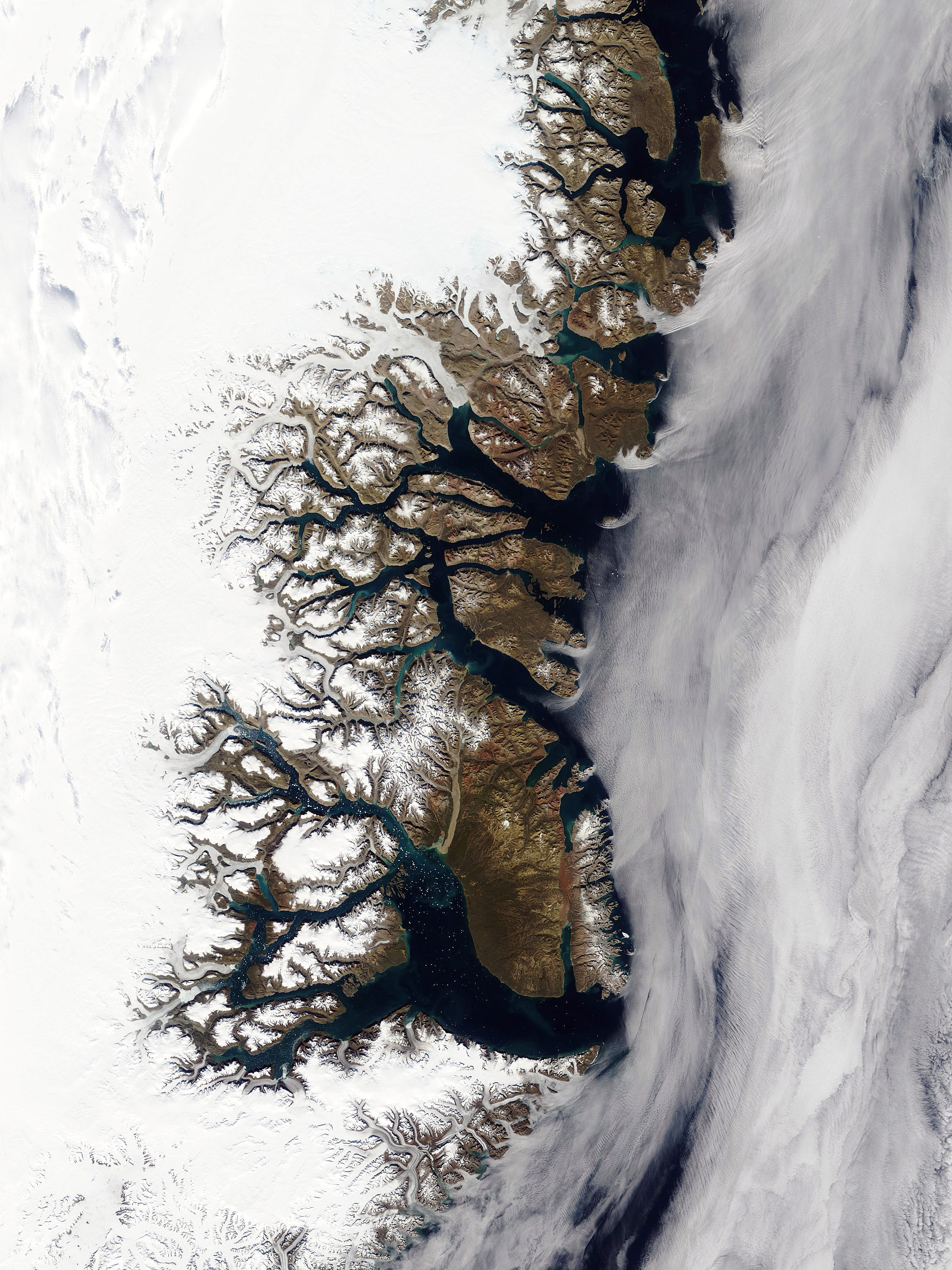
Wollaston Foreland ( da, Wollaston Forland) is a peninsula in King Christian X Land, East Greenland. Administratively it belongs to the NE Greenland National Park area. History This peninsula was named by William Scoresby in 1822 as a testimony of respect to William Hyde Wollaston. It was also surveyed and explored by the Second German North Polar Expedition 1869–70 led by Carl Koldewey. The Danish Sirius Dog Sled Patrol has its headquarters at Daneborg on the southeastern shore. The Zackenberg research station is situated further West, near Young Sound. Geography Wollaston Foreland is bounded in the north by the Lindeman Fjord and Albrecht Bay of Hochstetter Bay, in the east by the Greenland Sea, in the south by the Young Sound and Gael Hamke Bay''Prostar Sailing Directions 2005 Greenland and Iceland Enroute'', p. 101 and in the west by A. P. Olsen Land. To the south and southwest across Young Sound lies large Clavering Island, close off northeast Sabine Island, and cl ... [...More Info...] [...Related Items...] OR: [Wikipedia] [Google] [Baidu] |
Carl Koldewey
Carl Christian Koldewey (26 October 1837 – 17 May 1908) was a German Arctic explorer. He led both German North Polar Expeditions. Life and career Koldewey was the son of merchant Johann Christian Koldewey and his wife Wilhelmine Meyer. Koldewey enrolled as a sailor in 1853 immediately after Grammar school at Clausthal. At age 22, he attended the Naval school in Bremen, where he was among Arthur Breusing's best pupils. Later he went to sea again but returned to Naval school in 1861. After becoming a captain, Koldewey studied mathematics, physics, and astronomy at the universities of Hanover and Göttingen between 1866 and 1867. Expeditions Through his teacher Breusing and encouraged by August Petermann Koldewey was given the leadership of the first Arctic expedition as captain of ship ''Grönland''. He had the choice of either advancing northwards as far as possible along Greenland's east coast or to reach so-called Gillis-Land by travelling around Spitsbergen. But adverse con ... [...More Info...] [...Related Items...] OR: [Wikipedia] [Google] [Baidu] |
Zackenberg
Zackenberg or Zackenburg is a mountain in Wollaston Foreland, NE Greenland. Geography This dark-hued mountain is located at the southern end of the western section of the Wollaston Foreland. Zackenberg rises steeply from the shore of the Zackenberg Bay on the northern side the Young Sound ( da, Young Sund). It is a high massive mountain with a number of peaks, hence its German name 'Zackenberg', referring to its serrated top. A river flows on its northern and eastern side forming a valley between this mountain and the higher Dombjerg to the north. The Zackenberg Station Zackenberg (or ZERO - Zackenberg Ecological Research Operations), or Zackenberg Research Station, is an ecosystem research station and monitoring facility situated in the Northeast Greenland National Park in northeastern Greenland. The station i ..., a research facility, is built at the foot of the mountain. See also *List of mountain peaks of Greenland References External links *Zackenberg climatic data < ... [...More Info...] [...Related Items...] OR: [Wikipedia] [Google] [Baidu] |
Cape Wynn
A cape is a clothing accessory or a sleeveless outer garment which drapes the wearer's back, arms, and chest, and connects at the neck. History Capes were common in medieval Europe, especially when combined with a hood in the chaperon. They have had periodic returns to fashion - for example, in nineteenth-century Europe. Roman Catholic clergy wear a type of cape known as a ferraiolo, which is worn for formal events outside a ritualistic context. The cope is a liturgical vestment in the form of a cape. Capes are often highly decorated with elaborate embroidery. Capes remain in regular use as rainwear in various military units and police forces, in France for example. A gas cape was a voluminous military garment designed to give rain protection to someone wearing the bulky gas masks used in twentieth-century wars. Rich noblemen and elite warriors of the Aztec Empire would wear a tilmàtli; a Mesoamerican cloak/cape used as a symbol of their upper status. Cloth and clothing ... [...More Info...] [...Related Items...] OR: [Wikipedia] [Google] [Baidu] |
Kuhn Island
Kuhn Island ( da, Kuhn Ø) is a coastal island in Hochstetter Bay, eastern Greenland. There are coal deposits on the island. The island was discovered by the Second German North Polar Expedition (1869-1870) and is named after Franz Kuhn von Kuhnenfeld, the Austro-Hungarian minister of war, who was a patron of the expedition's cartographer, Julius von Payer. Geography This island lies to the north of Wollaston Foreland, separated from Thomas Thomsen Land in the mainland by a narrow sound, the Fligely Fjord. The Lindeman Fjord has its mouth to the southwest and the Hochstetter Bay of the Greenland Sea lies to the east. The mouths of Ardencaple Fjord and Grandjean Fjord open to the north. The islands that are located further off the shore in the bay are Shannon Island to the NE and the Pendulum Islands Little Pendulum Island ( da, Lille Pedulum Ø) is an island in Eastern Greenland, in the Northeast Greenland National Park. History The island was named by Douglas Ch ... [...More Info...] [...Related Items...] OR: [Wikipedia] [Google] [Baidu] |
Sabine Island
Sabine Island ( ; da, Sabine Ø) is an island to the northeast of Wollaston Foreland, previously known as ''Inner Pendulum Island''. It is in the Northeast Greenland National Park area. Geography Sabine Island is long from Kap Neumayer in the north to Teddy Udkig in the south, and wide. The area measures , and the shoreline . The highest elevation is the high Keferstein. Other important peaks are Kronebjerg, Tafelbjerg and Søspidsen. Together with an islet named Walrus Island ( da, Hvalros Ø) off its southern point, and Little Pendulum Island located to the east, it constitutes the Pendulum Islands group. Numerous huts used by Inuit remain on the island. There is also a small Sabine Island in Melville Bay, Northwest Greenland, as Mr. Sabine was also on the 1818 Ross expedition to these parts. That exposed islet was the site of a U.S. LORAN station in the post-war era. History The North East Greenland coast was colonized by Palaeo- and Neo-Eskimo groups in the past. Th ... [...More Info...] [...Related Items...] OR: [Wikipedia] [Google] [Baidu] |
Clavering Island
Clavering Island ( da, Clavering Ø) is a large island in eastern Greenland off Gael Hamke Bay, to the south of Wollaston Foreland. The Eskimonaes ''(Eskimonæs)'' radio and weather station was on this island. It was staffed by Danish scientists and was captured by German troops in 1943. The place where the station stood had also been the location of the last Inuit settlement in Northeast Greenland around 1823. History The island was named by the second German North Polar Expedition 1869–70 as ''Clavering Insel'' to commemorate Douglas Charles Clavering (1794–1827), commander of the '' Griper'' on the 1823 voyage, which explored the area and, at the southern shore of this island made the first (and last) encounter that Europeans made with the now extinct Northeast-Greenland Inuit. In late August 1823, Clavering and the crew of the ''Griper'' encountered a band of twelve Inuit, including men, women and children. In his journal, Clavering described their seal-skin tent, cano ... [...More Info...] [...Related Items...] OR: [Wikipedia] [Google] [Baidu] |
Gael Hamke Bay
Gael Hamke Bay ( da, Gael Hamkes Bugt) is a large bay in King Christian X Land, East Greenland. Administratively it is part of the Northeast Greenland National Park zone. The bay was named after a Dutch skipper that claimed to have discovered the bay in 1654. Geography The bay lies south of Wollaston Foreland, north of Home Foreland, and east of Clavering Island. Towards the west lie the Finsch Islands, where the bay narrows and becomes the Godthab Gulf. The Young Sound Young Sound ( da, Young Sund) is a marine channel with a fjord structure in King Christian X Land, East Greenland. Administratively it is part of the Northeast Greenland National Park zone. History The fjord was given the name "Young’s Bay" by ... has its mouth in the north, between the eastern end of Clavering Island and the southern shore of Wollaston Foreland. Jackson Island lies to the southeast at the mouth of the bay. References External links Photo of drift ice - Getty images Bays of Greenland ... [...More Info...] [...Related Items...] OR: [Wikipedia] [Google] [Baidu] |
Zackenberg Station
Zackenberg (or ZERO - Zackenberg Ecological Research Operations), or Zackenberg Research Station, is an ecosystem research station and monitoring facility situated in the Northeast Greenland National Park in northeastern Greenland. The station is owned by the Greenland Self-Government and was run by the Danish Polar Center (Dansk Polarcenter) Danish Polar Center East Greenland until 2008. In 2009 the running of the Station was transferred to th Dept of Arctic Environment at th [...More Info...] [...Related Items...] OR: [Wikipedia] [Google] [Baidu] |
Daneborg
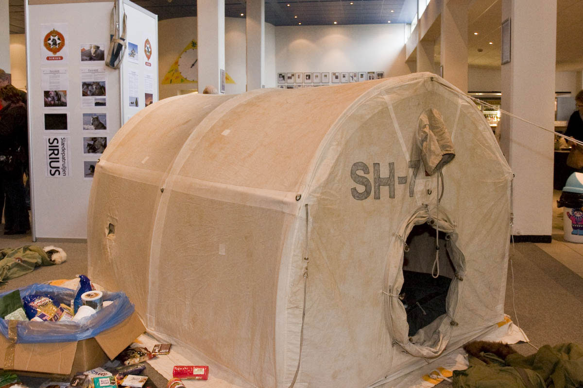
Daneborg (or Daneborg Station) is a station on the south coast of Wollaston Foreland peninsula of northeast Greenland, at the mouth of Young Sund emptying into Greenland Sea. Daneborg serves as the headquarters for the SIRIUS Patrol, the dog sled patrollers of the Northeast Greenland National Park, the largest national park in the world. The number of persons at the station is few and varies considerably from summer to winter. Daneborg is the most populated of stations in the park, with an over-wintering population of 12. Daneborg has an approximately long airstrip . History The previous sledge patrol headquarters, Eskimonaes ''(Eskimonæs)'', 27 km southwest of later Daneborg at Dødemandsbugten on the south coast of Clavering Ø, which had also been the location of the last Inuit settlement in Northeast Greenland (1823), was destroyed by German World War II invaders on March 23, 1943. The story of the wartime efforts of the North-East Greenland Sledge Patrol under Ib P ... [...More Info...] [...Related Items...] OR: [Wikipedia] [Google] [Baidu] |
Sirius Dog Sled Patrol
The Sirius Dog Sled Patrol ( da, Slædepatruljen Sirius), known informally as ''Siriuspatruljen'' (the Sirius Patrol) and formerly known as ''North-East Greenland Sledge Patrol'' and ''Resolute Dog Sled Patrol'', is an elite Danish naval unit. It conducts long-range reconnaissance patrolling, and enforces Danish sovereignty in the Arctic wilderness of northern and eastern Greenland, an area that includes the Northeast Greenland National Park, which is the largest national park in the world. Patrolling is usually done in pairs and using dog sleds with about a dozen dogs, sometimes for four months and often without additional human contact. The Sirius Dog Sled Patrol has the ability to engage militarily, and has done so historically. Its purpose is to maintain Danish sovereignty and police its area of responsibility.Formål og ... [...More Info...] [...Related Items...] OR: [Wikipedia] [Google] [Baidu] |
Denmark
) , song = ( en, "King Christian stood by the lofty mast") , song_type = National and royal anthem , image_map = EU-Denmark.svg , map_caption = , subdivision_type = Sovereign state , subdivision_name = Danish Realm, Kingdom of Denmark , established_title = History of Denmark#Middle ages, Consolidation , established_date = 8th century , established_title2 = Christianization , established_date2 = 965 , established_title3 = , established_date3 = 5 June 1849 , established_title4 = Faroese home rule , established_date4 = 24 March 1948 , established_title5 = European Economic Community, EEC 1973 enlargement of the European Communities, accession , established_date5 = 1 January 1973 , established_title6 = Greenlandic home rule , established_date6 = 1 May 1979 , official_languages = Danish language, Danish , languages_type = Regional languages , languages_sub = yes , languages = German language, GermanGerman is recognised as a protected minority language in t ... [...More Info...] [...Related Items...] OR: [Wikipedia] [Google] [Baidu] |


.jpg)
