|
Withington
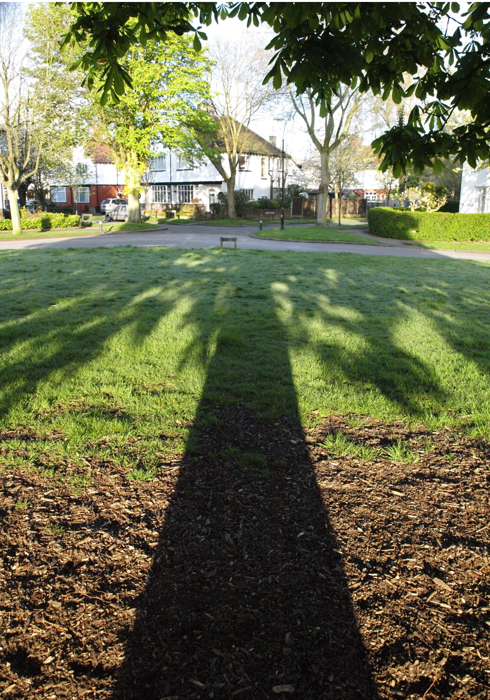
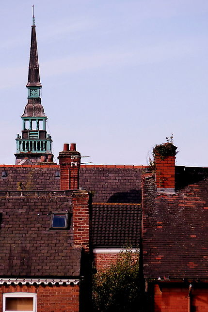
Withington is a suburb of Manchester, England. Historically part of Lancashire, it lies from Manchester city centre, about south of Fallowfield, north-east of Didsbury and east of Chorlton-cum-Hardy. Withington has a population of just over 14,000 people, reducing at the 2011 census to 13,422. In the early 13th century, Withington occupied a feudal estate that included the townships of Withington, Chorlton-cum-Hardy, Moss Side, Rusholme, Burnage, Denton and Haughton, held by the Hathersage, Longford and Tatton families, and within the Manor of Manchester and Hundred of Salford in historic county boundaries of Lancashire. Withington was largely rural until the mid-19th century when it experienced rapid socioeconomic development and urbanisation due to the Industrial Revolution, and Manchester's growing level of industrialisation. Withington became part of Manchester in 1904. Today, the residents of Withington comprise a mixture of families, university students a ... [...More Info...] [...Related Items...] OR: [Wikipedia] [Google] [Baidu] |
Manchester Withington (UK Parliament Constituency)
Manchester Withington is a constituency represented in the House of Commons of the UK Parliament since 2015 by Jeff Smith of Labour. Of the 30 seats with the highest percentage of winning majority in 2017, the seat ranks 25th with a 55.7% margin, and is the only one of the twenty nine of these seats won by the Labour Party in which the second-placed candidate was a Liberal Democrat, rather than Conservative. This is despite being a Conservative seat right up to 1987, then becoming relatively safely Labour, then Liberal Democrat from 2005 to 2015 before they lost on a large swing in 2015, after which Smith substantially increased his majority. History Over the past 35 years Manchester Withington has elected all three major parties. Mostly Conservative before 1987 (with three years of Liberal Party representation near its 1918 inception), it even resisted being gained by Labour in its massive landslide victories in 1945 and 1966. However, in 1987 the seat turned red for the firs ... [...More Info...] [...Related Items...] OR: [Wikipedia] [Google] [Baidu] |
Didsbury
Didsbury is a suburban area of Manchester, England, on the north bank of the River Mersey, south of Manchester city centre. The population at the 2011 census was 26,788. Within the boundaries of the historic county of Lancashire, there are records of Didsbury existing as a small hamlet as early as the 13th century. Its early history was dominated by being part of the Manor of Withington, a feudal estate that covered a large part of what is now the south of Manchester. Didsbury was described during the 18th century as a township separate from outside influence. In 1745 Charles Edward Stuart crossed the Mersey at Didsbury in the Jacobite march south from Manchester to Derby, and again in the subsequent retreat. Didsbury was largely rural until the mid-19th century, when it underwent development and urbanisation during the Industrial Revolution. It became part of Manchester in 1904. The Royal Society for the Protection of Birds was formed in Didsbury in 1889. History ... [...More Info...] [...Related Items...] OR: [Wikipedia] [Google] [Baidu] |
Burnage
Burnage is a suburb of the city of Manchester in North West England, about south of Manchester city centre and bisected by the dual carriageway of Kingsway. Within the boundaries of the historic county of Lancashire, the population of the Burnage Ward at the 2011 census was 15,227. It lies between Withington to the west, Levenshulme to the north, Heaton Chapel to the east and Didsbury and Heaton Mersey to the south. History Toponymy The name Burnage is thought to have stemmed from "Brown Hedge", from the old brown stone walls or "hedges" which were common there in medieval times. In a survey of 1320, the district is referred to as "Bronadge". Middle Ages During the Middle Ages, Burnage was an area of common pasture and marsh land. Burnage did not have its own manor but the land was shared between the farmers from the Manors of Withington and Heaton Norris as it was a border district between two neighbouring lordships. A survey of 1320 records 356 acres of common pasture ... [...More Info...] [...Related Items...] OR: [Wikipedia] [Google] [Baidu] |
Chorlton-cum-Hardy
Chorlton-cum-Hardy is a suburban area of Manchester, England, southwest of the Manchester city centre, city centre. Chorlton (ward), Chorlton ward had a population of 14,138 at the United Kingdom Census 2011, 2011 census, and Chorlton Park (ward), Chorlton Park 15,147. By the 9th century, there was an Anglo-Saxon settlement here. In the Middle Ages, improved drainage methods led to population growth. In the late Victorian era, Victorian and Edwardian periods, its rural character made it popular among the middle class. The loss of its railway station, the conversion of larger houses into flats or bedsitters, and significant social housing development to the south of the area changed its character again in the 1970s. However, the existing Manchester Metrolink tram stop called Chorlton was built on the site of that former railway station and from Manchester, it is served by East Didsbury trams and Manchester Airport trams. Historically, Chorlton was a village on Lancashire's sou ... [...More Info...] [...Related Items...] OR: [Wikipedia] [Google] [Baidu] |
Withington Community Hospital
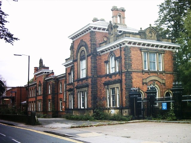
Withington Community Hospital is a hospital in south Manchester, England, managed by the Manchester University NHS Foundation Trust. History Originally known as the Chorlton Barlow Moor Work House, the hospital was purpose-built in 1854–55 as a workhouse for the poor of the Chorlton Poor Law Union, which covered most of south Manchester. In 1859 it had as inmates 458 adults (including minors of 17 and upwards) and 195 children. In the 1880s conditions were improved at the instigation of Dr John Milson Rhodes one of the board members: the removal of the children to Styal was one of his reforms. In 1864–66, it was converted into a hospital for the poor with the notable British nurse, Florence Nightingale, quoted as saying "... your hospital plan will be one of the best, if not the best, in the country" when writing to the architect Thomas Worthington–upon initial observation of the plans. The hospital also provided support for the military just after the outbreak ... [...More Info...] [...Related Items...] OR: [Wikipedia] [Google] [Baidu] |
Wilmslow Road
Wilmslow Road is a major road in Manchester, England, running from Parrs Wood northwards to Rusholme. There it becomes Oxford Road and the name changes again to Oxford Street when it crosses the River Medlock and reaches the city centre. The road runs through the centres of Didsbury, Withington and Fallowfield, including the major student residential campus of Owens Park, to Rusholme. Oxford Road passes through the University of Manchester campus and the All Saints campus of the Manchester Metropolitan University. Several hospitals including the Christie Hospital and Manchester Royal Infirmary have been built along the road. It also features several parks and gardens such as Fletcher Moss Gardens, Platt Fields and Whitworth Park. The road is part of a major bus corridor with bus movements of over one a minute at peak times and is a key centre for business, culture and higher education. Route Wilmslow Road, Oxford Road and Oxford Street are part of an 18th-century route ... [...More Info...] [...Related Items...] OR: [Wikipedia] [Google] [Baidu] |
Fallowfield
Fallowfield is a suburb of Manchester, England, with a population at the 2011 census of 15,211. Historically in Lancashire, it lies south of Manchester city centre and is bisected east–west by Wilmslow Road and north–south by Wilbraham Road. The former Fallowfield Loop railway line, now a shared use path, follows a route nearly parallel with the east–west main road (Moseley Road/Wilbraham Road). The area has a very large student population. The University of Manchester's main accommodation complex – the Fallowfield Campus – occupies a large area in the north; these are adjacent to the university's Owens Park halls of residence and the Firs Botanical Grounds. In the north-west of the suburb is Platt Fields Park; this is formed from part of the land which once belonged to the Platts of Platt Hall. History The early medieval linear earthwork Nico Ditch passes through Platt Fields Park in Fallowfield and dates from the 8th or 9th century. Ear ... [...More Info...] [...Related Items...] OR: [Wikipedia] [Google] [Baidu] |
Manchester
Manchester () is a city in Greater Manchester, England. It had a population of 552,000 in 2021. It is bordered by the Cheshire Plain to the south, the Pennines to the north and east, and the neighbouring city of Salford to the west. The two cities and the surrounding towns form one of the United Kingdom's most populous conurbations, the Greater Manchester Built-up Area, which has a population of 2.87 million. The history of Manchester began with the civilian settlement associated with the Roman fort ('' castra'') of ''Mamucium'' or ''Mancunium'', established in about AD 79 on a sandstone bluff near the confluence of the rivers Medlock and Irwell. Historically part of Lancashire, areas of Cheshire south of the River Mersey were incorporated into Manchester in the 20th century, including Wythenshawe in 1931. Throughout the Middle Ages Manchester remained a manorial township, but began to expand "at an astonishing rate" around the turn of the 19th century. Manchest ... [...More Info...] [...Related Items...] OR: [Wikipedia] [Google] [Baidu] |
Denton, Greater Manchester
Denton is a town in Tameside, Greater Manchester, England, five miles (8 km) east of Manchester city centre. Historically part of Lancashire, it had a population of 36,591 at the 2011 Census. History Toponymy Denton probably derives its name from Dane-town, an etymology supported by other place names in the area such as Danehead-bank and Daneditch-bourne. The word 'Dane' is itself derived from Anglo-Saxon ''denu'', ''dene'', ''daenland'', meaning a valley. So literally Denton means valley town. Prehistory A Byzantine coin was discovered in Danesheadbank, dating from the sixth or seventh century, as part of the Denton coin hoard. The early medieval linear earthwork Nico Ditch passes through Denton; it was probably used as an administrative boundary and dates from the 8th or 9th centuries. A 300 m stretch is still visible on Denton golf course, about 4 m wide and 1.5 m deep. Middle Ages In the early 13th century it lay within the Manor of Withington, a f ... [...More Info...] [...Related Items...] OR: [Wikipedia] [Google] [Baidu] |
City Of Manchester
Manchester () is a city in Greater Manchester, England. It had a population of 552,000 in 2021. It is bordered by the Cheshire Plain to the south, the Pennines to the north and east, and the neighbouring city of Salford to the west. The two cities and the surrounding towns form one of the United Kingdom's most populous conurbations, the Greater Manchester Built-up Area, which has a population of 2.87 million. The history of Manchester began with the civilian settlement associated with the Roman fort (''castra'') of ''Mamucium'' or ''Mancunium'', established in about AD 79 on a sandstone bluff near the confluence of the rivers Medlock and Irwell. Historically part of Lancashire, areas of Cheshire south of the River Mersey were incorporated into Manchester in the 20th century, including Wythenshawe in 1931. Throughout the Middle Ages Manchester remained a manorial township, but began to expand "at an astonishing rate" around the turn of the 19th century. Manchester's unpla ... [...More Info...] [...Related Items...] OR: [Wikipedia] [Google] [Baidu] |
Manchester Metropolitan University
Manchester Metropolitan University is located in the centre of Manchester, England. The university has over 40,000 students and over 4,000 members of staff. It is home to four faculties (Arts and Humanities, Business and Law, Health and Education and Science and Engineering) and is one of the largest universities in the UK for biggest student population in 2020/21. History Manchester Metropolitan University was developed from mergers of various colleges with various specialisms, including technology, art and design. Its founding can be traced back to the Manchester Mechanics Institute, and the Manchester School of Design latterly known as the Manchester School of Art. The painter L. S. Lowry attended in the years after the First World War, where he was taught by the noted impressionist Adolphe Valette. Schools of Commerce (founded 1889), Education (f. 1878), and Domestic Science (f. 1880) were added alongside colleges at Didsbury, Crewe, Alsager and the former Domestic an ... [...More Info...] [...Related Items...] OR: [Wikipedia] [Google] [Baidu] |
Moss Side
Moss Side is an Inner city, inner-city area of Manchester, England, south of the Manchester city centre, city centre, It had a population of 20,745 at the United Kingdom Census 2021, 2021 census. Moss Side is bounded by Hulme to the north, Chorlton-on-Medlock, Rusholme and Fallowfield to the east, Whalley Range, Manchester, Whalley Range to the south, and Old Trafford (area), Old Trafford to the west. As well as Whitworth Park and Alexandra Park, Manchester, Alexandra Park, Moss Side is close to Manchester University, Manchester and Manchester Metropolitan University, Manchester Metropolitan universities."Moss Side and Rusholme District Centre Local Plan". Manchester City Council. 2007. p. 52. Manchester City F.C., Manchester City played at Maine Road in Moss Side between 1923 and 2003. History Historic counties of England, Historically part of Lancashire, Moss Side was a rural Township (England), township and chapelry within the Manchester (ancient parish), parish of Manche ... [...More Info...] [...Related Items...] OR: [Wikipedia] [Google] [Baidu] |

_(2).jpg)


_2018.png)


.jpg)
