|
Werte Unserer Heimat
Werte der deutschen Heimat (literally "Values of the German Homeland") originally ''Werte der Deutschen Heimat'' and, between 1970 and 1990 called ''Werte unserer Heimat'', was a series of publications by former East German Academy of Sciences at Berlin, that was published by Akademie-Verlag Berlin and included more than 50 volumes. The work was undertaken by the Academy’s Local History Working Group within the Institute for Geography and Geo-ecology. The aim of this series was to produce a comprehensive inventory of local history works in East Germany. From 1992 the series continued to be published under its original title of ''Werte der deutschen Heimat'' by the Leibniz Institut für Länderkunde (IfL) and, from 1993, by the Verlag Böhlau Nachf. Weimar. In 1994 it was given a new layout and, since 2001, has been continued as Landschaften in Deutschland - Werte der deutschen Heimat. Since Volume 62 the series has been jointly published by the IfL and the Saxon Academy of Scienc ... [...More Info...] [...Related Items...] OR: [Wikipedia] [Google] [Baidu] |
Lauenstein (Altenberg)
Lauenstein is the name of the following: Places: * Lauenstein (Altenberg), a suburb of the town of Altenberg in the district of Sächsische Schweiz-Osterzgebirge in Saxony, Germany * Lauenstein (Ludwigsstadt) a suburb of the town of Ludwigsstadt in the district of Kronach in Bavaria, Germany * Lauenstein (Salzhemmendorf), a village in the municipality of Salzhemmendorf in the district of Hameln-Pyrmont in Lower Saxony, Germany Castles: * Lauenstein (Altenberg), castle ruins and manor house in Lauenstein in the district of Sächsische Schweiz-Osterzgebirge in Saxony, Germany * Lauenstein Castle (Franconian Forest) in Ludwigsstadt in the district of Kronach in Bavaria, Germany * Lauenstein Castle (Ith) in Salzhemmendorf in the district of Hameln-Pyrmont in Lower Saxony, Germany People: * Christoph Lauenstein (b 1962), German film maker * Diether Lauenstein (1914–1990), German indologist, priest and journalist * Wolfgang Lauenstein Wolfgang Lauenstein (born 20 March 1962 in ... [...More Info...] [...Related Items...] OR: [Wikipedia] [Google] [Baidu] |
Oberlausitz
Upper Lusatia (german: Oberlausitz ; hsb, Hornja Łužica ; dsb, Górna Łužyca; szl, Gōrnŏ Łużyca; pl, Łużyce Górne or ''Milsko''; cz, Horní Lužice) is a historical region in Germany and Poland. Along with Lower Lusatia to the north, it makes up the region of Lusatia, named after the Slavic ''Lusici'' tribe. Both parts of Lusatia are home to the West Slavic minority group of the Sorbs. The major part of Upper Lusatia is part of the German federal state of Saxony, roughly comprising Bautzen district and Görlitz district. The northwestern extremity, around Ruhland and Tettau, is incorporated into the Oberspreewald-Lausitz district of the state of Brandenburg. The eastern part of Upper Lusatia is in Poland, east of the Neisse (''Nysa'') river, in Lower Silesian Voivodeship. A small strip of land in the north around Łęknica is incorporated into Lubusz Voivodeship, along with the Polish part of Lower Lusatia. The historic capital of Upper Lusatia is Bautzen/B ... [...More Info...] [...Related Items...] OR: [Wikipedia] [Google] [Baidu] |
Potsdam
Potsdam () is the capital and, with around 183,000 inhabitants, largest city of the German state of Brandenburg. It is part of the Berlin/Brandenburg Metropolitan Region. Potsdam sits on the River Havel, a tributary of the Elbe, downstream of Berlin, and lies embedded in a hilly morainic landscape dotted with many lakes, around 20 of which are located within Potsdam's city limits. It lies some southwest of Berlin's city centre. The name of the city and of many of its boroughs are of Slavic origin. Potsdam was a residence of the Prussian kings and the German Kaiser until 1918. Its planning embodied ideas of the Age of Enlightenment: through a careful balance of architecture and landscape, Potsdam was intended as "a picturesque, pastoral dream" which would remind its residents of their relationship with nature and reason. The city, which is over 1000 years old, is widely known for its palaces, its lakes, and its overall historical and cultural significance. Landmarks include ... [...More Info...] [...Related Items...] OR: [Wikipedia] [Google] [Baidu] |
Greifswald
Greifswald (), officially the University and Hanseatic City of Greifswald (german: Universitäts- und Hansestadt Greifswald, Low German: ''Griepswoold'') is the fourth-largest city in the German state of Mecklenburg-Western Pomerania after Rostock, Schwerin and Neubrandenburg. In 2021 it surpassed Stralsund for the first time, and became the largest city in the Pomeranian part of the state. It sits on the River Ryck, at its mouth into the Danish Wiek (''Dänische Wiek''), a sub-bay of the Bay of Greifswald (''Greifswalder Bodden''), which is itself a sub-bay of the Bay of Pomerania (''Pommersche Bucht'') of the Baltic Sea. It is the seat of the district of Western Pomerania-Greifswald, and is located roughly in the middle between the two largest Pomeranian islands of Rugia (''Rügen'') and Usedom. The closest larger cities are Stralsund, Rostock, Szczecin and Schwerin. It lies west of the River Zarow, the historical cultural and linguistic boundary between West (west of the r ... [...More Info...] [...Related Items...] OR: [Wikipedia] [Google] [Baidu] |
Oberwiesenthal
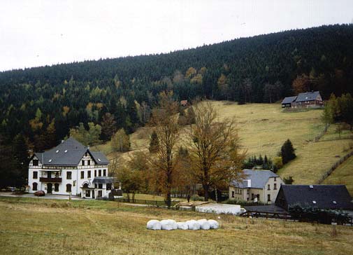
Oberwiesenthal (; officially Kurort Oberwiesenthal) is a town and a ski resort in the district of Erzgebirgskreis in Saxony in Germany. It is situated in the Ore Mountains, on the border with the Czech Republic, 19 km south of Annaberg-Buchholz, and 23 km northeast of Karlovy Vary. At , it is the highest town in Germany.Official web site (in German) The and goldmedalist in |
Annaberg-Buchholz
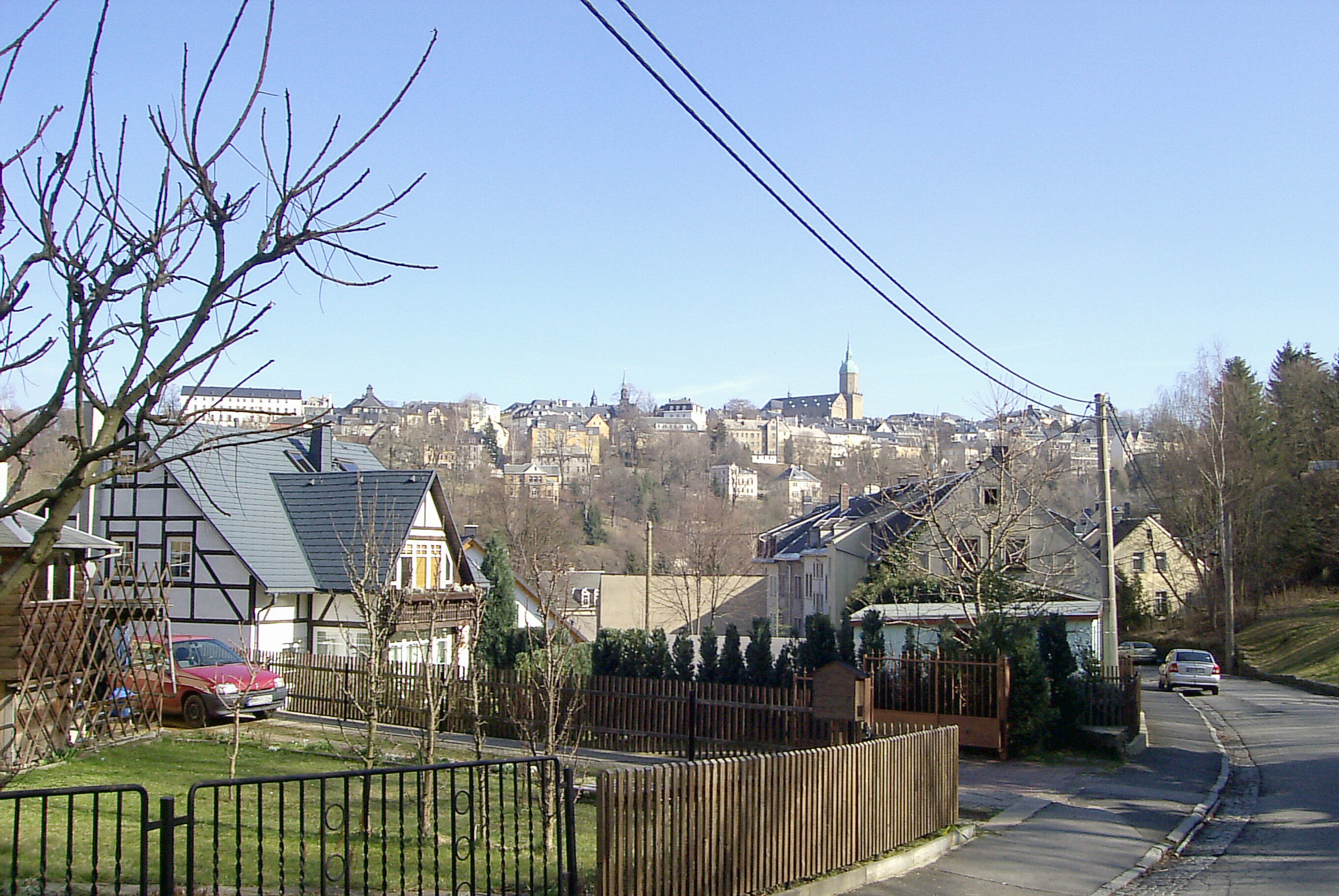
Annaberg-Buchholz () is a town in Saxony, Germany. Lying in the Ore Mountains, it is the capital of the district of Erzgebirgskreis. Geography The town is located in the Ore Mountains, at the side of the ''Pöhlberg'' ( above sea level). History The previously heavily forested upper Ore Mountains were settled in the 12th and 13th centuries by Franconian farmers. Frohnau, Geyersdorf, and Kleinrückerswalde—all now part of present-day town—are all attested from 1397. Barbara Uthmann introduced braid- and lace-making in 1561 and it was further developed in the 1590s by Belgian refugees fleeing the policies of Fernando Álvarez de Toledo, 3rd Duke of Alba, Spain's governor over the Low Countries. The industry was further developed in the 19th century, when Annaberg and Buchholz were connected by rail to Chemnitz and each other and both settlements had specialized schools for lace-making. The population of Annaberg in the 1870s was 11,693. This had risen to 16,811 by 1905, ... [...More Info...] [...Related Items...] OR: [Wikipedia] [Google] [Baidu] |
Schirgiswalde
Schirgiswalde (in Sorbian ''Šěrachów'', in Czech ''Šerachov'') is a town and a former municipality in the district of Bautzen in Saxony in Germany. Since 1 January 2011, it is part of the town Schirgiswalde-Kirschau. It is located on the river Spree, 15 km south of Bautzen. The small town is an official place of relaxation (staatlich anerkannter Erholungsort). Together with the villages of Crostau and Kirschau it represents the administrative community of Schirgiswalde. Some smaller parts of the town are Neuschirgiswalde upon a hill and Petersbach. History The village of Schirgiswalde was first mentioned in a document from 1346. During the Thirty Years' War, most of the settlement was destroyed with the majority of the populace perishing in the conflict. To aid the rebuilding and economic reconstruction of the community, the lord of the manor of Schirgiswalde made it a town in 1665. Later, the small town became part of the land owned by the Domstift in Bautzen, effec ... [...More Info...] [...Related Items...] OR: [Wikipedia] [Google] [Baidu] |
Bautzen
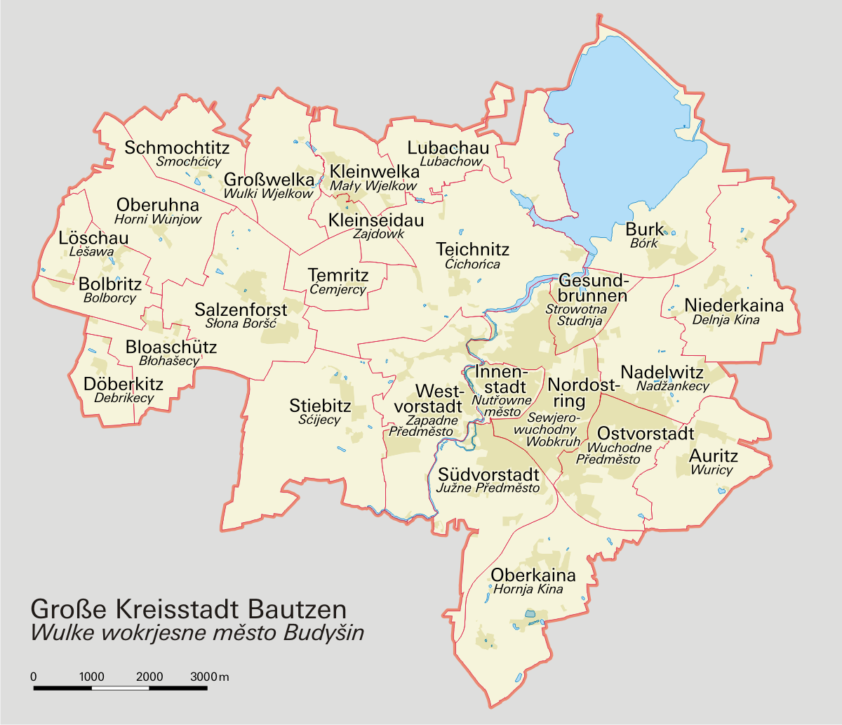
Bautzen () or Budyšin () is a hill-top town in eastern Saxony, Germany, and the administrative centre of the district of Bautzen. It is located on the Spree river. In 2018 the town's population was 39,087. Until 1868, its German name was ''Budissin''. In 1945 the Battle of Bautzen was Hitler’s last victory against the Soviet Union during the Battle of Berlin . Bautzen is often regarded as the unofficial, but historical capital of Upper Lusatia. The town is also the most important cultural centre of the Sorbian minority, which constitutes about 10 percent of Bautzen's population. Asteroid '' 11580 Bautzen'' is named in honour of the city. Names Like other cities and places in Lusatia, Bautzen has several different names across languages. Its German name was also officially changed in 1868. As well as ''Bautzen'' (German) and ''Budyšin'' (Upper Sorbian), the town has had the following names: * German: ''Budissin'' (variants used from c. 11th century onwards; Saxon governme ... [...More Info...] [...Related Items...] OR: [Wikipedia] [Google] [Baidu] |
Eibenstock
Eibenstock is a town in the western Ore Mountains, in the Erzgebirgskreis, Saxony, Germany. It is situated near the river Mulde. Geography Eibenstock has the following constituent communities: Eibenstock, Blauenthal, Wolfsgrün, Neidhardtsthal, Wildenthal, Oberwildenthal, Carlsfeld, Blechhammer, Neues Wiesenhaus, Sosa, Stabhammer, Wilzschmühle and Weitersglashütte. History Middle Ages Owing to its elevation of more than 600 m, Eibenstock would not have been one of the first farming villages in the Ore Mountains, but rather a longstanding settlement in the form of a radial forest homestead village, founded at the earliest sometime in the thirteenth century in what later became the Barony of Schwarzenberg. About 1.5 km from the edge of town, not far from where the Steinbächel empties into the Große Bockau, a ringwall was unearthed. The first two documentary mentions as ''Ybenstok'' and ''Ibenstok'' both date from the year 1378. At that time, an ''Alte Seife ... [...More Info...] [...Related Items...] OR: [Wikipedia] [Google] [Baidu] |
Schneeberg (Erzgebirge)
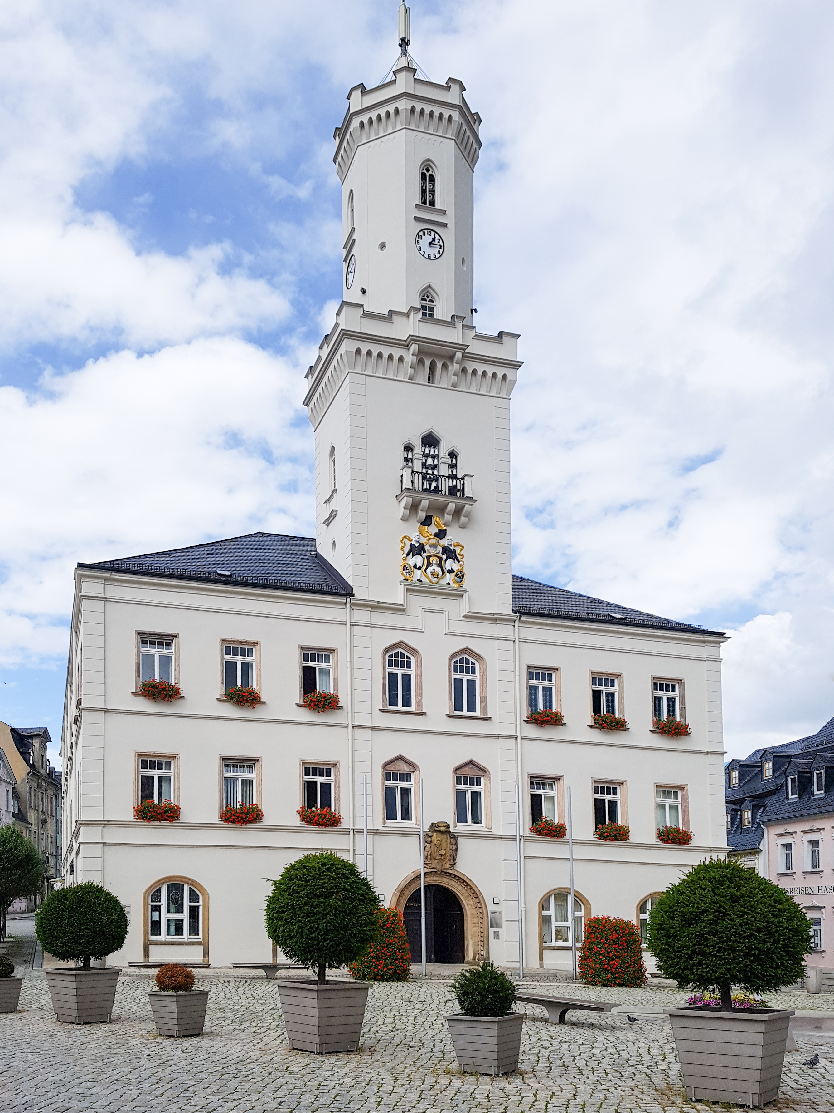
Schneeberg is a town in Saxony’s district of Erzgebirgskreis. It has roughly 16,400 inhabitants and belongs to the Town League of Silberberg (''Städtebund Silberberg''). It lies 4 km west of Aue, and southeast of Zwickau. Geography Location Schneeberg lies on the Silver Road in the upper western Ore Mountains. Visible from afar is the prominent church of St. Wolfgang. The heart of the town lies on the ''Schneeberg'', which reaches 470 metres above sea level and is also the town’s namesake. Among the surrounding peaks are the ''Gleesberg'' (593 m) to the east and the ''Keilberg'' (557 m) to the north. History Schneeberg’s more than 500-year-long history has been shaped by mining more than anything else, laying the very groundwork for the town’s founding. The original silver mining also yielded cobalt and bismuth mining by the mid 16th century. When uranium mining was being undertaken between 1946 and 1958, the town’s population quickly r ... [...More Info...] [...Related Items...] OR: [Wikipedia] [Google] [Baidu] |
Osterzgebirge
The Eastern Ore Mountains (german: Osterzgebirge) form a natural region of Saxony that covers the eastern part (in area almost the eastern half) of the Saxon Ore Mountains range. Together with the Western and Central Ore Mountains, it is part of the larger Saxon Highlands and Uplands region. Its southern continuation beyond the German border covers an area of roughly the same extent in the Czech Republic. Geography The region is bounded in the west by the valley of the Flöha river, itself part of the Central Ore Mountains region. In the northeast it borders on Saxon Switzerland, the German (northern) side of the Elbe Sandstone Mountains, at Bad Gottleuba. The boundary with the Ore Mountain Foreland to the north is rather unclear, roughly running from the town of Flöha along the Tharandt Forest to Tharandt. In the south, the crest of the mountain range closely follows the state border with the Czech Republic. [...More Info...] [...Related Items...] OR: [Wikipedia] [Google] [Baidu] |

-Deutschland.png)
