|
Wasatch Formation
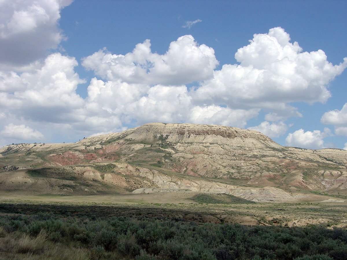
The Wasatch Formation (Tw)Shroba & Scott, 2001, p.3 is an extensive highly fossiliferous geologic formation stretching across several basins in Idaho, Montana Wyoming, Utah and western Colorado.Wasatch Formation at .org It preserves dating back to the |
Formation (stratigraphy)
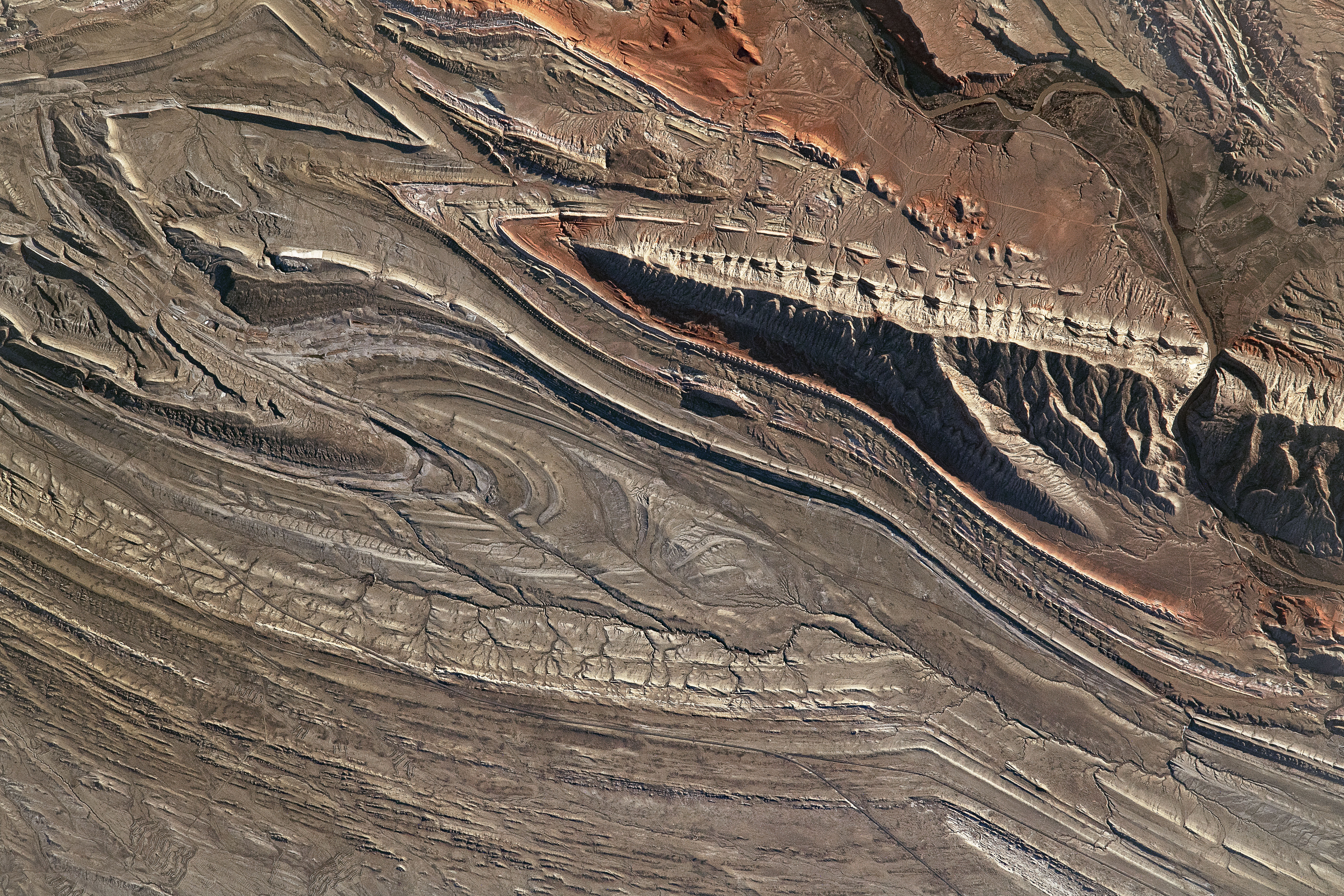
A geological formation, or simply formation, is a body of rock having a consistent set of physical characteristics (lithology) that distinguishes it from adjacent bodies of rock, and which occupies a particular position in the layers of rock exposed in a geographical region (the stratigraphic column). It is the fundamental unit of lithostratigraphy, the study of strata or rock layers. A formation must be large enough that it can be mapped at the surface or traced in the subsurface. Formations are otherwise not defined by the thickness (geology), thickness of their rock strata, which can vary widely. They are usually, but not universally, tabular in form. They may consist of a single lithology (rock type), or of alternating beds of two or more lithologies, or even a heterogeneous mixture of lithologies, so long as this distinguishes them from adjacent bodies of rock. The concept of a geologic formation goes back to the beginnings of modern scientific geology. The term was used by ... [...More Info...] [...Related Items...] OR: [Wikipedia] [Google] [Baidu] |
Utah
Utah ( , ) is a state in the Mountain West subregion of the Western United States. Utah is a landlocked U.S. state bordered to its east by Colorado, to its northeast by Wyoming, to its north by Idaho, to its south by Arizona, and to its west by Nevada. Utah also touches a corner of New Mexico in the southeast. Of the fifty U.S. states, Utah is the 13th-largest by area; with a population over three million, it is the 30th-most-populous and 11th-least-densely populated. Urban development is mostly concentrated in two areas: the Wasatch Front in the north-central part of the state, which is home to roughly two-thirds of the population and includes the capital city, Salt Lake City; and Washington County in the southwest, with more than 180,000 residents. Most of the western half of Utah lies in the Great Basin. Utah has been inhabited for thousands of years by various indigenous groups such as the ancient Puebloans, Navajo and Ute. The Spanish were the first Europe ... [...More Info...] [...Related Items...] OR: [Wikipedia] [Google] [Baidu] |
Piceance Basin
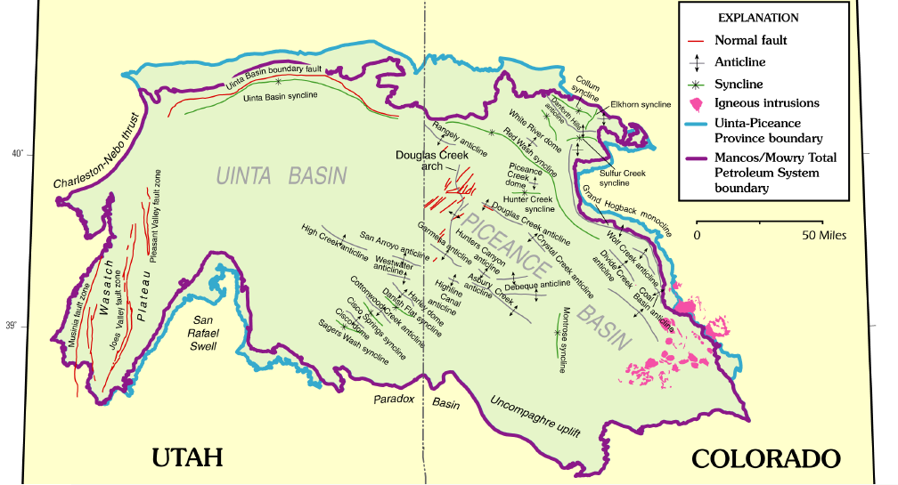
The Piceance Basin is a geologic structural basin in northwestern Colorado, in the United States. It includes geologic formations from Cambrian to Holocene in age, but the thickest section is made up of rocks from the Cretaceous Period. The basin contains reserves of coal, natural gas, and oil shale. The name likely derives from the Shoshoni word ''/piasonittsi/'' meaning “tall grass” (''/pia-/'' ‘big’ and ''/soni-/'' ‘grass’). Hydrocarbon resources In 2016 USGS released an assessment of the resources of the Mancos Shale of the Piceance Basin in Colorado and Utah, "a total of assessed technically recoverable mean resources of 74 million barrels of shale oil, 66.3 trillion cubic feet of gas, and 45 million barrels of natural gas liquids." Natural gas The basin has come to increasing public attention in recent years because of widespread drilling to extract natural gas. The primary target of gas development has been the Williams Fork Formation of the Mesaverde Group, ... [...More Info...] [...Related Items...] OR: [Wikipedia] [Google] [Baidu] |
Bighorn Basin
The Bighorn Basin is a plateau region and intermontane basin, approximately 100 miles (160 km) wide, in north-central Wyoming in the United States. It is bounded by the Absaroka Range on the west, the Pryor Mountains on the north, the Bighorn Mountains on the east, and the Owl Creek Mountains and Bridger Mountains on the south. It is drained to the north by tributaries of the Bighorn River, which enters the basin from the south, through a gap between the Owl Creek and Bridger Mountains, as the Wind River, and becomes the Bighorn as it enters the basin. The region is semi-arid, receiving only 6–10 in (15–25 cm) of rain annually. The largest cities in the basin include the Wyoming towns of Cody, Thermopolis, Worland, and Powell. Sugar beets, pinto beans, sunflowers, barley, oats, corn and alfalfa hay are grown on irrigated farms in the region. History The basin was explored by John Colter in 1807. Just west of Cody, he discovered geothermal features that were la ... [...More Info...] [...Related Items...] OR: [Wikipedia] [Google] [Baidu] |
Wind River Basin
The Wind River Basin or Shoshone Basin is a semi-arid intermontane foreland basin in central Wyoming, United States. It is bounded by Laramide uplifts on all sides. On the west is the Wind River Range and on the North are the Absaroka Range and the Owl Creek Mountains. The Casper Arch separates the Wind River from the Powder River Basin to the east and the Sweetwater Uplift ( Granite Range) lies to the south. The basin contains a sequence of 10,000–12,000 feet (3000–3700 meters) of predominantly marine sediments deposited during the Paleozoic and Mesozoic Eras. During the Laramide over 18,000 feet (5500 meters) of Eocene lacustrine and fluvial sediments were deposited within the basin. Following the Eocene an additional 3,000 feet (900 meters) of sediments were deposited before, and as the basin was uplifted in the late Tertiary. The geological formations within the basin are significant producers of petroleum and natural gas. The basin contains over 60 oil and gas fields ... [...More Info...] [...Related Items...] OR: [Wikipedia] [Google] [Baidu] |
Green River Basin
Green is the color between cyan and yellow on the visible spectrum. It is evoked by light which has a dominant wavelength of roughly 495570 nm. In subtractive color systems, used in painting and color printing, it is created by a combination of yellow and cyan; in the RGB color model, used on television and computer screens, it is one of the additive primary colors, along with red and blue, which are mixed in different combinations to create all other colors. By far the largest contributor to green in nature is chlorophyll, the chemical by which plants photosynthesize and convert sunlight into chemical energy. Many creatures have adapted to their green environments by taking on a green hue themselves as camouflage. Several minerals have a green color, including the emerald, which is colored green by its chromium content. During post-classical and early modern Europe, green was the color commonly associated with wealth, merchants, bankers, and the gentry, while red was r ... [...More Info...] [...Related Items...] OR: [Wikipedia] [Google] [Baidu] |
Powder River Basin
The Powder River Basin is a geologic structural basin in southeast Montana and northeast Wyoming, about east to west and north to south, known for its extensive coal reserves. The former hunting grounds of the Oglala Lakota, the area is very sparsely populated and is known for its rolling grasslands and semiarid climate. The basin is both a topographic drainage and geologic structural basin, drained by the Powder River, Cheyenne River, Tongue River, Bighorn River, Little Missouri River, Platte River, and their tributaries. The major cities in the area include Gillette and Sheridan, Wyoming and Miles City, Montana. In 2007, the region produced 436 million short tons (396 million tonnes) of coal, more than twice the production of second-place West Virginia, and more than the entire Appalachian region. The Powder River Basin is the largest coal-producing region in the United States. The region includes the Black Thunder Coal Mine, the most productive in the United States, ... [...More Info...] [...Related Items...] OR: [Wikipedia] [Google] [Baidu] |
Evanston Formation
The Evanston Formation is a geological formation in Wyoming whose strata date back to the Late Cretaceous. Dinosaur remains are among the fossils that have been recovered from the formation.Weishampel, David B; et al. (2004). "Dinosaur distribution (Late Cretaceous, North America)." In: Weishampel, David B.; Dodson, Peter; and Osmólska, Halszka (eds.): The Dinosauria, 2nd, Berkeley: University of California Press. Pp. 574-588. . The fossil formation also has the remains of prehistoric mammals from the Paleocene epoch. Vertebrate paleofauna * ''Alamosaurus'' sp. * ''Triceratops horridus'' * Insectivora * Multituberculata *Primates *Condylarthra * Creodonta See also * List of dinosaur-bearing rock formations This list of dinosaur-bearing rock formations is a list of geologic formations in which dinosaur fossils have been documented. Containing body fossils * List of stratigraphic units with dinosaur body fossils ** List of stratigraphic units with few ... References Paleo ... [...More Info...] [...Related Items...] OR: [Wikipedia] [Google] [Baidu] |
Williams Fork Formation
The Williams Fork Formation is a Campanian ( Edmontonian) geologic formation of the Mesaverde Group in Colorado. Dinosaur remains are among the fossils that have been recovered from the formation, most notably ''Pentaceratops sternbergii'',. Other fossils found in the formation are the ammonite '' Lewyites'', neosuchian crocodylomorphs, and the mammals '' Glasbius'' and '' Meniscoessus collomensis''. at .org See also * * ...[...More Info...] [...Related Items...] OR: [Wikipedia] [Google] [Baidu] |
Fort Union Formation
The Fort Union Formation is a geologic unit containing sandstones, shales, and coal beds in Wyoming, Montana, and parts of adjacent states. In the Powder River Basin, it contains important economic deposits of coal, uranium, and coalbed methane. Description The Fort Union is mostly of Paleocene age and represents a time of extensive swamps as well as fluvial and lacustrine conditions. The rocks are more sandy in southwestern Wyoming and more coal-bearing in northeast Wyoming and southeast Montana, reflecting a general change from rivers and lakes in the west to swamps in the east, but all three environments were present at various times in most locations. Coal in the Fort Union in the Powder River Basin occurs mainly in the Tongue River Member, where as many as 32 coal seams total more than 300 feet in thickness. One such bed, the Wyodak Coal near Gillette, Wyoming, is as much as thick. Most of the coals in the Fort Union Formation are ranked subbituminous.''Cretaceous and Ter ... [...More Info...] [...Related Items...] OR: [Wikipedia] [Google] [Baidu] |
Santa Fe Group (geology)
The Santa Fe Group is a group of geologic formations in New Mexico and Colorado. It contains fossils characteristic of the Oligocene through Pleistocene epochs. The group consists of basin-filling sedimentary and volcanic rocks of the Rio Grande rift, and contains important regional aquifers. Description The Santa Fe Group is widely defined as basin-filling sedimentary and volcanic rocks of the Rio Grande rift. These range in age from late Oligocene to Pleistocene. The oldest formations in the group correspond to the earliest structural deformation associated with rifting. Geologic uplift of the region around the rift has ended deposition, and erosion in the Rio Grande river system has exposed many of the beds deposited earlier, often spectacularly, as in the badlands north of Santa Fe. The formations in the group are divided into lower and upper sections. The lower Santa Fe Group was deposited in bolsons (closed arid basins) where streams drained into intermittent play ... [...More Info...] [...Related Items...] OR: [Wikipedia] [Google] [Baidu] |


