|
Walpole–Algonac Ferry
The Walpole–Algonac Ferry serves the city of Algonac, Michigan, and the First Nation reserve of Walpole Island, and (indirectly), Wallaceburg, Ontario, via Highway 40 (Ontario), Highway 40 and Chatham-Kent Road 32. It serves as a border crossing of the Canada–United States border. The Walpole–Algonac Ferry Line has been in operation for over 100 years. Operating out of Walpole Island (Ontario, Canada), the ferry crosses the St. Clair River to Algonac (Michigan, USA) and is the closest route between Detroit and Chatham/Wallaceburg/London/Toronto areas. The two-ferry operation (12 car and 9 car) runs daily, year-round (weather permitting), with a crossing time of approximately seven minutes. External links Ferries of Michigan Ferries of Ontario St. Clair River Transportation in St. Clair County, Michigan Transport in Lambton County Canada–United States border crossings {{Michigan-transport-stub ... [...More Info...] [...Related Items...] OR: [Wikipedia] [Google] [Baidu] |
Algonac, Michigan
Algonac is a city in St. Clair County, Michigan, St. Clair County of the U.S. state of Michigan. The population was 4,110 at the 2010 United States Census, 2010 census. Algonac is located at the southern end of the St. Clair River, just before it splits into a large delta region known as the St. Clair Flats. (Coordinates ) The St. Clair River drains Lake Huron into Lake Saint Clair (North America), Lake St. Clair and is part of the Great Lakes Waterway. At the center of Algonac is Algonac City Park, a park which contains a half-mile long boardwalk along the St. Clair River. Just to the north of the city is Algonac State Park. Algonac was the birthplace of Emily Helen Butterfield, an artist and the first woman to be licensed as an architect in Michigan. She was famous for innovations in church architecture. It was the home of the now-defunct Chris-Craft Boats, Chris-Craft boat company, the maker of the first mass-produced motorboat, speedboats. It was also the home of Gar Wood, the ... [...More Info...] [...Related Items...] OR: [Wikipedia] [Google] [Baidu] |
Walpole Island First Nation
Walpole Island is an island and First Nation reserve in southwestern Ontario, Canada, on the border between Ontario and Michigan in the United States. It is located in the mouth of the St. Clair River on Lake St. Clair, about by road from Windsor, Ontario and from Detroit, Michigan. It is unceded territory and is inhabited by the Ojibwe, Potawatomi, and Odawa peoples of the Walpole Island First Nation, who call it Bkejwanong, meaning "where the waters divide" in Anishinaabemowin. In addition to Walpole Island, the reserve includes Squirrel Island, St. Anne Island, Seaway Island (except a small U.S. portion), Bassett Island, and Potawatomi Island. The river or creeks that separate these islands provide the area with its other commonly used name, Swejwanong or "many forks of a river." It is independent of, but within the geographic region of, Lambton County and adjoins the municipality of Chatham-Kent and the township of St. Clair. Across the St. Clair River to the west a ... [...More Info...] [...Related Items...] OR: [Wikipedia] [Google] [Baidu] |
Ferry
A ferry is a ship, watercraft or amphibious vehicle used to carry passengers, and sometimes vehicles and cargo, across a body of water. A passenger ferry with many stops, such as in Venice, Italy, is sometimes called a water bus or water taxi. Ferries form a part of the public transport systems of many waterside cities and islands, allowing direct transit between points at a capital cost much lower than bridges or tunnels. Ship connections of much larger distances (such as over long distances in water bodies like the Mediterranean Sea) may also be called ferry services, and many carry vehicles. History In ancient times The profession of the ferryman is embodied in Greek mythology in Charon, the boatman who transported souls across the River Styx to the Underworld. Speculation that a pair of oxen propelled a ship having a water wheel can be found in 4th century Roman literature "''Anonymus De Rebus Bellicis''". Though impractical, there is no reason why it could not work ... [...More Info...] [...Related Items...] OR: [Wikipedia] [Google] [Baidu] |
Walpole Island
Walpole Island is an island and First Nation reserve in southwestern Ontario, Canada, on the border between Ontario and Michigan in the United States. It is located in the mouth of the St. Clair River on Lake St. Clair, about by road from Windsor, Ontario and from Detroit, Michigan. It is unceded territory and is inhabited by the Ojibwe, Potawatomi, and Odawa peoples of the Walpole Island First Nation, who call it Bkejwanong, meaning "where the waters divide" in Anishinaabemowin. In addition to Walpole Island, the reserve includes Squirrel Island, St. Anne Island, Seaway Island (except a small U.S. portion), Bassett Island, and Potawatomi Island. The river or creeks that separate these islands provide the area with its other commonly used name, Swejwanong or "many forks of a river." It is independent of, but within the geographic region of, Lambton County and adjoins the municipality of Chatham-Kent and the township of St. Clair. Across the St. Clair River to the west are th ... [...More Info...] [...Related Items...] OR: [Wikipedia] [Google] [Baidu] |
Wallaceburg, Ontario
Wallaceburg ( 2016 population 10,098) is an unincorporated community in the municipality of Chatham-Kent in Southern (Southwestern) Ontario, Canada. Originally a small settlement, it was recognized for its significant contribution to the lumber and boat building industries and strategic location along the banks of the scenic Sydenham River. In more recent years, 1895–1999, the town was known for its glass making industry. For that reason, Wallaceburg is locally known as the "glass town of Canada." Wallaceburg is the home of WAMBO (Wallaceburg Antique Motor and Boat Outing), an annual antique car, boat, bus, and fire truck show that began in 1988. History The town was founded in the early 19th century and named after Scotland's national hero, Sir William Wallace. It was incorporated as a village in 1875 and then as a town in 1896. In 1998, it was amalgamated into the new municipality of Chatham–Kent. The Baldoon settlement The first settlers to the Wallaceburg area came ... [...More Info...] [...Related Items...] OR: [Wikipedia] [Google] [Baidu] |
Highway 40 (Ontario)
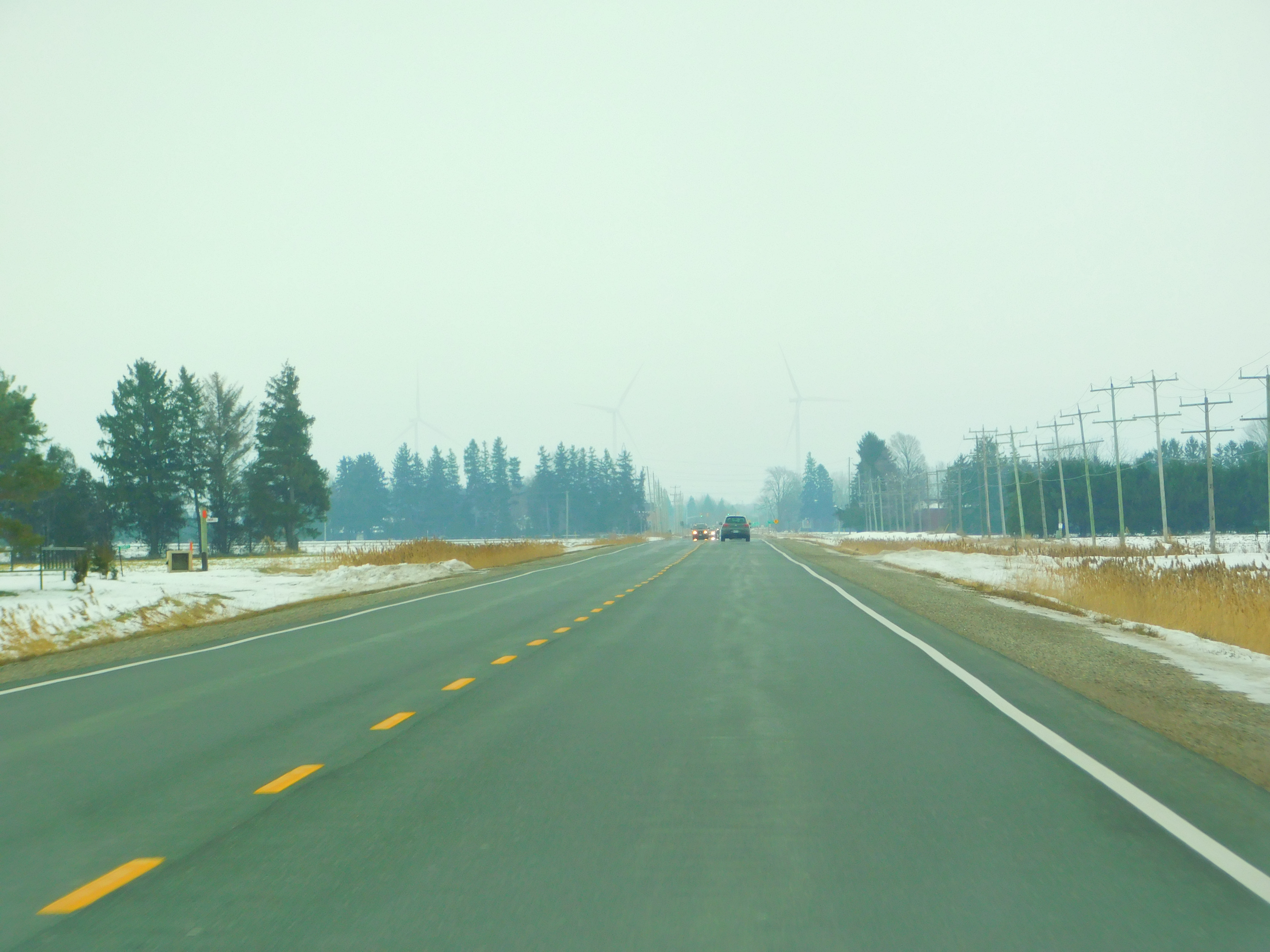
King's Highway 40, commonly referred to as Highway 40, is a Ontario Provincial Highway Network, provincially maintained highway in the Southwestern Ontario, southwestern portion of the Provinces and territories of Canada, Canadian province of Ontario. The route links Chatham, Ontario, Chatham and Sarnia via Wallaceburg, following close to the St. Clair River. The southern terminus is at Highway 401 south of Chatham, while the northern terminus is at Ontario Highway 402, Highway 402 in Sarnia. The portion of Highway 40 between Highway 401 and north of Wallaceburg is within the municipality of Chatham-Kent, while the portion north of there is within Lambton County. Highway 40 was built as a Great depression, depression-relief project in 1934. The original routing followed what is now the St. Clair Parkway, but was rerouted to create that scenic road in the mid-1970s. The Sarnia Bypass was opened in 1963 as Highway 40A and renumbered as Highway 40 by 19 ... [...More Info...] [...Related Items...] OR: [Wikipedia] [Google] [Baidu] |
Canada–United States Border
The border between Canada and the United States is the longest international border in the world. The terrestrial boundary (including boundaries in the Great Lakes, Atlantic, and Pacific coasts) is long. The land border has two sections: Canada's border with the contiguous United States to its south, and with the U.S. state of Alaska to its west. The bi-national International Boundary Commission deals with matters relating to marking and maintaining the boundary, and the International Joint Commission deals with issues concerning boundary waters. The agencies currently responsible for facilitating legal passage through the international boundary are the Canada Border Services Agency (CBSA) and U.S. Customs and Border Protection (CBP). History 18th century The Treaty of Paris of 1783 ended the American Revolutionary War between Great Britain and the United States. In the second article of the Treaty, the parties agreed on all boundaries of the United States, including, but ... [...More Info...] [...Related Items...] OR: [Wikipedia] [Google] [Baidu] |
Sombra – Marine City (Bluewater) Ferry
Sombra ( Spanish for ''shadow'') may refer to: * Alan Sombra (born 1994), Argentine footballer * Sombra, Ontario Sombra is a village situated on the St. Clair River, in southwestern Ontario, Canada within the municipality of St. Clair, Ontario, St. Clair Township. In its early days, the village developed out of local transport and agricultural trade via r ..., a village situated on the St. Clair River in Canada * Sombra (''Overwatch''), a character in the 2016 video game and the subject of a related alternate reality game (ARG) * King Sombra, a villain from My Little Pony: Friendship Is Magic * La Sombra, a Tejano band * La Sombra, former ring name of professional wrestler Andrade Cien Almas {{Disambiguation ... [...More Info...] [...Related Items...] OR: [Wikipedia] [Google] [Baidu] |
Russell Island Ferry
Russell may refer to: People * Russell (given name) * Russell (surname) * Lady Russell (other) * Lord Russell (other) Places Australia * Russell, Australian Capital Territory * Russell Island, Queensland (other) ** Russell Island (Moreton Bay) **Russell Island (Frankland Islands) *Russell Falls, Tasmania *A former name of Westerway, Tasmania Canada *Russell, Ontario, a township in Ontario * Russell, Ontario (community), a town in the township mentioned above. *Russell, Manitoba * Russell Island (Nunavut) New Zealand * Russell, New Zealand, formerly Kororareka * Okiato or Old Russell, the first capital of New Zealand Solomon Islands * Russell Islands United States * Russell, Arkansas *Russell City, California, formerly Russell *Russell, Colorado *Russell, Georgia * Russell, Illinois * Russell, Iowa * Russell, Kansas * Russell, Kentucky, in Greenup County * Russell, Louisville, Kentucky * Russell, Massachusetts, a New England town ** Russell (CDP) ... [...More Info...] [...Related Items...] OR: [Wikipedia] [Google] [Baidu] |
Ferries Of Michigan
A ferry is a ship, watercraft or amphibious vehicle used to carry passengers, and sometimes vehicles and cargo, across a body of water. A passenger ferry with many stops, such as in Venice, Italy, is sometimes called a water bus or water taxi. Ferries form a part of the public transport systems of many waterside cities and islands, allowing direct transit between points at a capital cost much lower than bridges or tunnels. Ship connections of much larger distances (such as over long distances in water bodies like the Mediterranean Sea) may also be called ferry services, and many carry vehicles. History In ancient times The profession of the ferryman is embodied in Greek mythology in Charon, the boatman who transported souls across the River Styx to the Underworld. Speculation that a pair of oxen propelled a ship having a water wheel can be found in 4th century Roman literature "''Anonymus De Rebus Bellicis''". Though impractical, there is no reason why it could not work ... [...More Info...] [...Related Items...] OR: [Wikipedia] [Google] [Baidu] |

.jpg)


