|
Woonerf
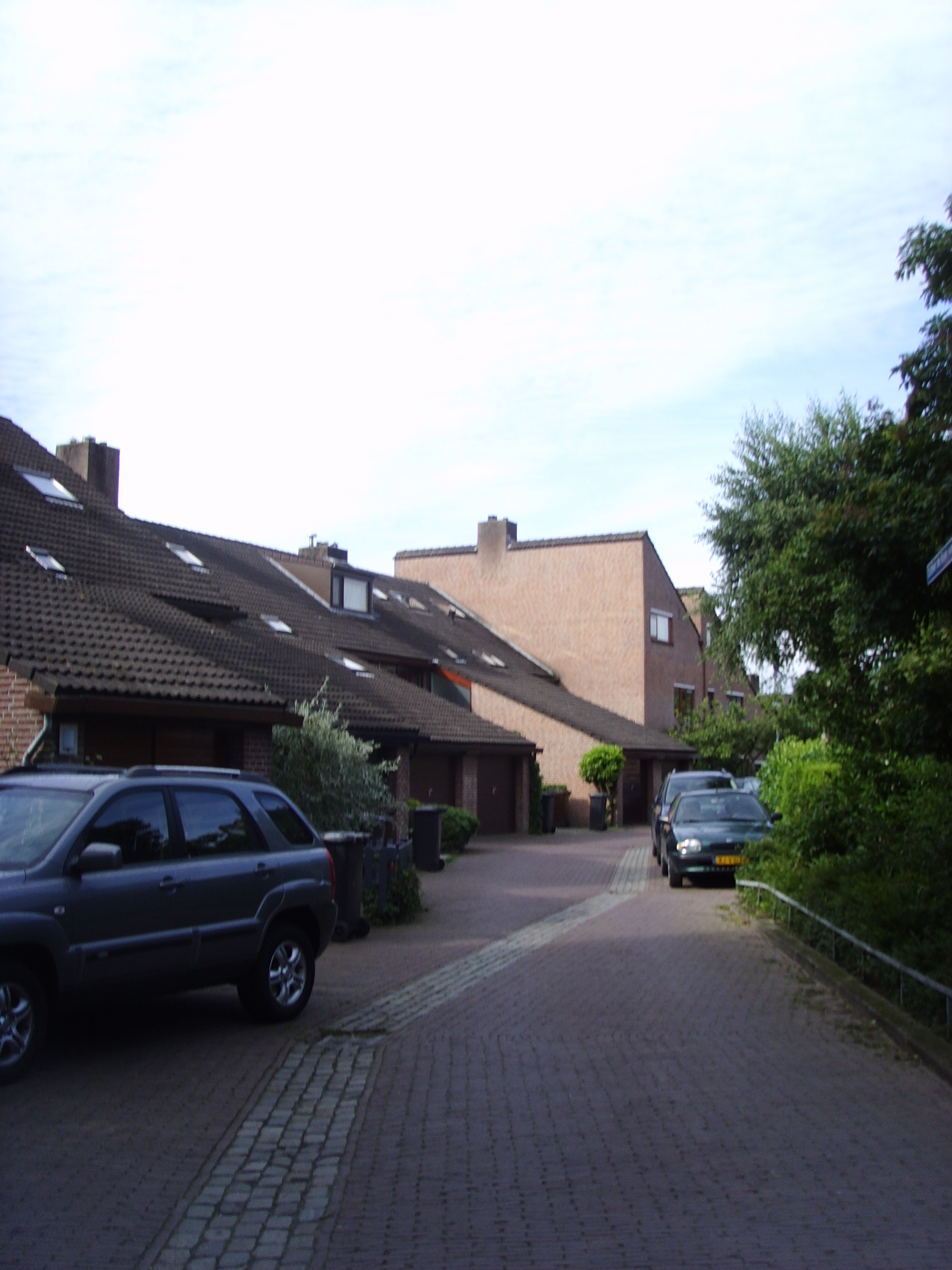
A woonerf () is a living street, as originally implemented in the Netherlands and in Flanders (Belgium). Techniques include shared space, traffic calming, and low speed limits. The term "woonerf" has been adopted directly by some English-language publications. In the UK, these areas are called home zones. Etymology The word, of Dutch origin, literally translates as "living yard" or "residential grounds". History Since the invention of automobiles, cities have been predominantly constructed to accommodate the use of automobiles. The entire locality of Emmen in the Netherlands was designed as a woonerf in the 1970s. In 1999 the Netherlands had over 6000 ''woonerven'' and today around 2 million Dutch people are living in ''woonerven''. The benefits of the woonerf are promoted by ''woonERFgoed'', a network of professionals and residents. In 2006 it was reported that people in Hesselterbrink, a neighborhood of Emmen, were disillusioned about how the woonerf principle had beco ... [...More Info...] [...Related Items...] OR: [Wikipedia] [Google] [Baidu] |
Living Streets
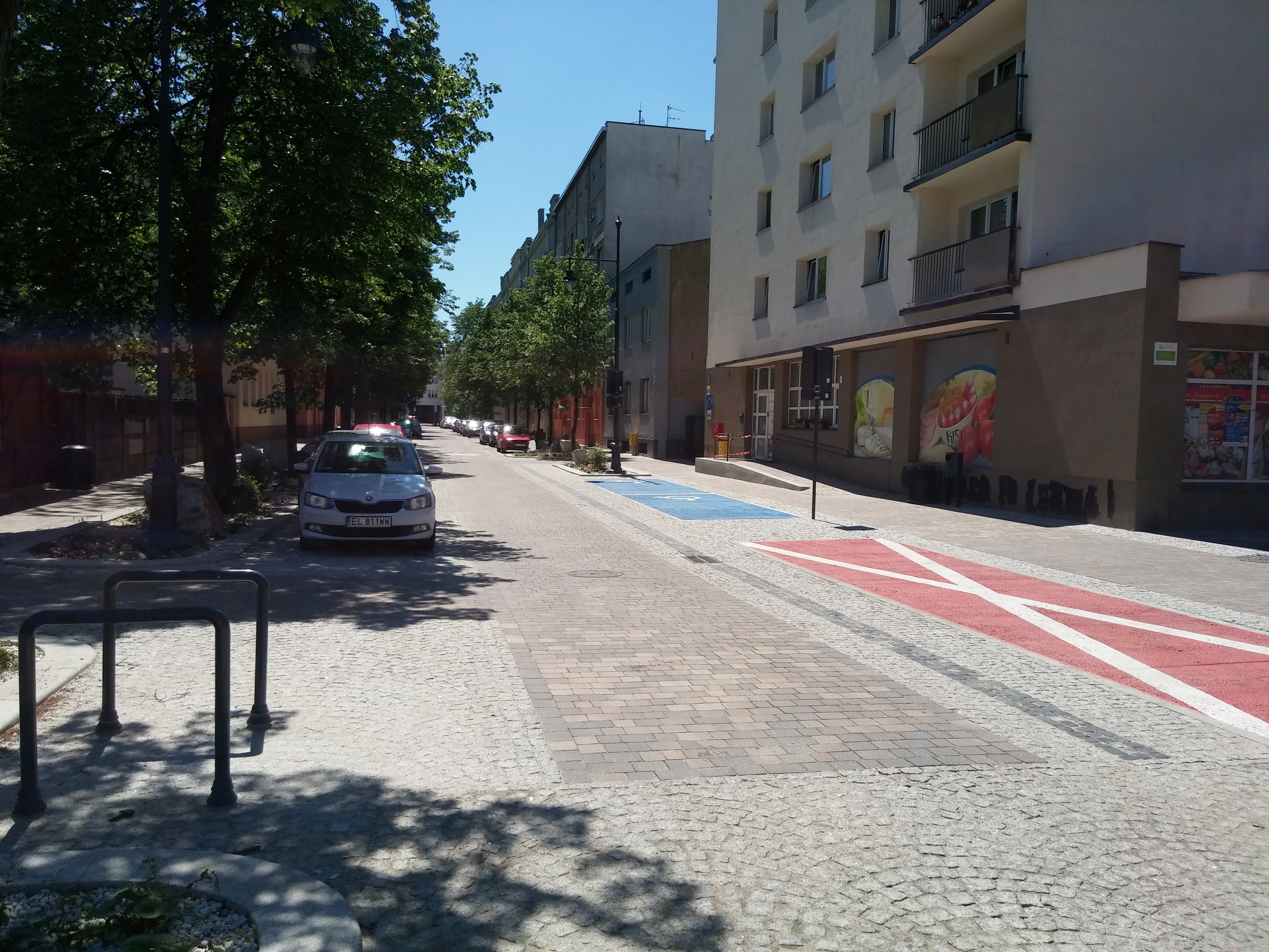
A living street is a street designed with the interests of pedestrians and cyclists in mind by providing enriching and experiential spaces. Living streets also act as social spaces, allowing children to play and encouraging social interactions on a human scale, safely and legally. Living streets consider all pedestrians granting equal access to elders and those who are disabled. These roads are still available for use by motor vehicles; however, their design aims to reduce both the speed and dominance of motorized transport. The reduction of motor vehicle dominance creates more opportunities for public transportation. Living Streets achieve these strategies by implementing the shared space approach. Reducing demarcations between vehicle traffic and pedestrians create a cohesive space without segregating different modes of transportation. Vehicle parking may also be restricted to designated bays. These street design principles first became popularized in the Netherlands during the ... [...More Info...] [...Related Items...] OR: [Wikipedia] [Google] [Baidu] |
Types Of Roads
A road is a thoroughfare, route, or way on land between two places that has been surfaced or otherwise improved to allow travel by foot or some form of conveyance, including a motor vehicle, cart, bicycle, or horse. Roads have been adapted to a large range of structures and types in order to achieve a common goal of transportation under a large and wide range of conditions. The specific purpose, mode of transport, material and location of a road determine the characteristics it must have in order to maximize its usefulness. Following is one classification scheme. Types of roads Lower capacity roads Street Primitive roads * Agricultural road * Backroad *Dirt road *Forest road *Gravel road * Green lane * Historic roads and trails *Ice road *Roman roads *Sunken lane Large roads Private roads *Driveway * Gated community * Military road * Private highway *Private road Intersecting roads * Connector * Interchange *Intersection *Level junction *Level crossing * Ro ... [...More Info...] [...Related Items...] OR: [Wikipedia] [Google] [Baidu] |
Shared Space
Shared space is an urban design approach that minimises the segregation between modes of road user. This is done by removing features such as kerbs, road surface markings, traffic signs, and traffic lights. Hans Monderman and others have suggested that, by creating a greater sense of uncertainty and making it unclear who has priority, drivers will reduce their speed, in turn reducing the dominance of vehicles, reducing road casualty rates, and improving safety for other road users. Shared space design can take many different forms depending on the level of demarcation and segregation between different transportation modes. Variations of shared space are often used in urban settings, especially those that have been made nearly car-free ( nl, autoluwe), and as part of living streets within residential areas. As a separate concept, "shared space" normally applies to semi-open spaces on busier roads, and here it is controversial. Shared space is often opposed by organisations ... [...More Info...] [...Related Items...] OR: [Wikipedia] [Google] [Baidu] |
Traffic Calming
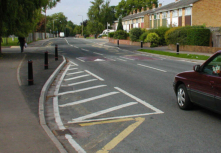
Traffic calming uses physical design and other measures to improve safety for motorists, pedestrians and cyclists. It has become a tool to combat speeding and other unsafe behaviours of drivers in the neighbourhoods. It aims to encourage safer, more responsible driving and potentially reduce traffic flow. Urban planners and traffic engineers have many strategies for traffic calming, including narrowed roads and speed humps. Such measures are common in Australia and Europe (especially Northern Europe), but less so in North America. Traffic calming is a calque (literal translation) of the German word ''Verkehrsberuhigung'' – the term's first published use in English was in 1985 by Carmen Hass-Klau. History In its early development in the UK in the 1930s, traffic calming was based on the idea that residential areas should be protected from through-traffic. Subsequently, it became valued for its ability to improve pedestrian safety and reduce noise and air pollution from ... [...More Info...] [...Related Items...] OR: [Wikipedia] [Google] [Baidu] |
Salon
Salon may refer to: Common meanings * Beauty salon, a venue for cosmetic treatments * French term for a drawing room, an architectural space in a home * Salon (gathering), a meeting for learning or enjoyment Arts and entertainment * Salon (Paris), a prestigious annual juried art exhibition in Paris begun under Louis XIV * ''The Salon'' (TV series), a British reality television show * ''The Salon'' (film), a 2005 American dramatic comedy movie * ''The Salon'' (comics), a graphic novel written and illustrated by Nick Bertozzi Places * Salon, Aube, France, a commune * Salon, Dordogne, France, a commune * Salon, India, a town and nagar panchayat * Salon (Assembly constituency), India, a constituency for the Uttar Pradesh Legislative Assembly Other uses * Salon.com, an online magazine * Champagne Salon, a producer of sparkling wine * Salon Basnet (born 1991), Nepali actor and model See also * * Salon-de-Provence, France, a commune * Salon-la-Tour, France, a commune ... [...More Info...] [...Related Items...] OR: [Wikipedia] [Google] [Baidu] |
Transportation Planning
Transportation planning is the process of defining future policies, goals, investments, and spatial planning designs to prepare for future needs to move people and goods to destinations. As practiced today, it is a collaborative process that incorporates the input of many stakeholders including various government agencies, the public and private businesses. Transportation planners apply a multi-modal and/or comprehensive approach to analyzing the wide range of alternatives and impacts on the transportation system to influence beneficial outcomes. Transportation planning is also commonly referred to as transport planning internationally, and is involved with the evaluation, assessment, design, and siting of transport facilities (generally streets, highways, bike lanes, and public transport lines). Models and sustainability Transportation planning, or transport planning, has historically followed the rational planning model of defining goals and objectives, identifyin ... [...More Info...] [...Related Items...] OR: [Wikipedia] [Google] [Baidu] |
Cycling In The Netherlands
Cycling is a common mode of transport in the Netherlands, with 36% of Dutch people listing the bicycle as their most frequent way of getting around on a typical day, as opposed to the car (45%) and public transport (11%). Cycling has a modal share of 27% of all trips (urban and rural) nationwide. In cities this is even higher, such as Amsterdam which has 38%, and Zwolle 46%. This high frequency of bicycle travel is enabled by excellent cycling infrastructure such as cycle paths, cycle tracks, protected intersections, ample bicycle parking and by making cycling routes shorter and more direct (and therefore usually quicker) than car routes. In the countryside, a growing number of routes connect the Netherlands' villages, towns and cities: some of these paths are part of the Dutch National Cycle Network, a network of routes for bicycle tourism which reaches all corners of the nation. History Cycling became popular in the Netherlands a little later than it did in the United ... [...More Info...] [...Related Items...] OR: [Wikipedia] [Google] [Baidu] |
Types Of Streets
Type may refer to: Science and technology Computing * Typing, producing text via a keyboard, typewriter, etc. * Data type, collection of values used for computations. * File type * TYPE (DOS command), a command to display contents of a file. * Type (Unix), a command in POSIX shells that gives information about commands. * Type safety, the extent to which a programming language discourages or prevents type errors. * Type system, defines a programming language's response to data types. Mathematics * Type (model theory) * Type theory, basis for the study of type systems * Arity or type, the number of operands a function takes * Type, any proposition or set in the intuitionistic type theory * Type, of an entire function ** Exponential type Biology * Type (biology), which fixes a scientific name to a taxon * Dog type, categorization by use or function of domestic dogs Lettering * Type is a design concept for lettering used in typography which helped bring about modern textual printin ... [...More Info...] [...Related Items...] OR: [Wikipedia] [Google] [Baidu] |
Batavia, Illinois
Batavia () is a city mainly in Kane County and partly in DuPage County in the U.S. state of Illinois. Located in the Chicago metropolitan area, it was founded in 1833 and is the oldest city in Kane County. Per the 2020 census, the population was 26,098. During the latter part of the 19th century, Batavia, home to six American-style windmill manufacturing companies, became known as "The Windmill City." Fermi National Accelerator Laboratory, a federal government-sponsored high-energy physics laboratory, where both the bottom quark and the top quark were first detected, is located just east of the city limits. Batavia is part of a vernacular region known as the Tri-City area, along with St. Charles and Geneva, all western suburbs of similar size and relative socioeconomic condition. cheetz, George H."Whence Siouxland?" ''Book Remarks'' ioux City Public Library May 1991. History Batavia was settled in 1833 by Christopher Payne and his family. Originally called Big Woods f ... [...More Info...] [...Related Items...] OR: [Wikipedia] [Google] [Baidu] |
OpenPlans
Open Plans is a non-profit that advocates for making the streets of New York City livable for all residents. Open Plans uses tactical urbanism, grassroots advocacy, policy and targeted journalism to promote structural reforms within city government that support livable streets, neighborhoods and the city-at-large. The organization was founded in 1999 by Mark Gorton, the creator of LimeWire. Funding The organization has received funding from Google, Institute for Transportation and Development Policy, Knight Foundation, the National Association of City Transportation Officials (NACTO), SURDNA Foundation, Rockefeller Foundation, the World Bank and others. Projects Open Plans organizes its activities into a number of divisions or projects. Policy and Advocacy Open Plans engages in grassroots and cultural advocacy around issues of safe streets, traffic reduction, public space management, people-centered design, and livability. Starting in 2018, Open Plans began researching and ... [...More Info...] [...Related Items...] OR: [Wikipedia] [Google] [Baidu] |


.jpg)