|
Woolstanwood
Woolstanwood (also Woolstan Wood) is a village (at ) and civil parish in the unitary authority of Cheshire East and the ceremonial county of Cheshire, England, which lies immediately to the west of Crewe, 1½ miles from the centre. The parish also includes the settlements of Brassey Bank and Marshfield Bank. Nearby villages include Wistaston and Worleston. According to the 2001 census, the parish had a population of 723, reducing to 678 at the 2011 Census. Governance Woolstanwood is administered by Minshull Vernon and District Parish Council, jointly with Minshull Vernon and Leighton. Four of the 22 parish councillors represent Woolstanwood. From 1974 to 2009 the Borough Council was Crewe and Nantwich. Since 1 April 2009 the civil parish has been administered by the unitary authority of Cheshire East. Woolstanwood falls in the parliamentary constituency of Crewe and Nantwich, which has been represented by Kieran Mullan since 2019, after being represented by Laura Smith ... [...More Info...] [...Related Items...] OR: [Wikipedia] [Google] [Baidu] |
Civil Parishes In Cheshire
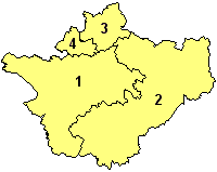
A civil parish is a country subdivision, forming the lowest unit of local government in England. There are 333 civil parishes in the ceremonial county of Cheshire, most of the county being parished. Cheshire East unitary authority is entirely parished. At the 2001 census, there were 565,259 people living in 332 parishes, accounting for 57.5 per cent of the county's population. History Parishes arose from Church of England divisions, and were originally purely ecclesiastical divisions. Over time they acquired civil administration powers.Angus Winchester, 2000, ''Discovering Parish Boundaries''. Shire Publications. Princes Risborough, 96 pages The Highways Act 1555 made parishes responsible for the upkeep of roads. Every adult inhabitant of the parish was obliged to work four days a year on the roads, providing their own tools, carts and horses; the work was overseen by an unpaid local appointee, the ''Surveyor of Highways''. The poor were looked after by the monasteries, until ... [...More Info...] [...Related Items...] OR: [Wikipedia] [Google] [Baidu] |
Minshull Vernon
Minshull Vernon is a hamlet and civil parishes in England, civil parish in the unitary authority of Cheshire East and the ceremonial county of Cheshire, England. The hamlet lies to the north west of Crewe, south east of Winsford and south west of Middlewich. The parish also includes the small settlements of Bradfield Green, Eardswick, Hoolgrave, Minshull Hill, Walley's Green and Weaver Bank.UK & Ireland Genealogy: Minshull Vernon (accessed 3 March 2009) The total population of the civil parish is somewhat over 200, measured at 391 in the Census 2011. Nearby villages include Church Minshull, Warmingham and Wimboldsley. The River Weaver and the Middlewich Branch of the Shropshire Union Canal run through the area. History A Roman roads in Britain, Roman road between Nantwich and Midd ...[...More Info...] [...Related Items...] OR: [Wikipedia] [Google] [Baidu] |
Crewe And Nantwich
Crewe and Nantwich was, from 1974 to 2009, a Non-metropolitan district, local government district with Borough status in the United Kingdom, borough status in Cheshire, England. It had a population (2001 census) of 111,007. It contained 69 civil parishes and one unparished area: the town of Crewe. It now forms part of the Unitary authorities of England, unitary authority of Cheshire East. History The Borough of Crewe and Nantwich was created on 1 April 1974 under the Local Government Act 1972 by the merger of the municipal borough, borough of Crewe (an industrial town), the Urban district (Great Britain and Ireland), urban district of Nantwich (a smaller market town), and Nantwich Rural District. The new district was proposed to be called just "Crewe", but the shadow authority elected in 1973 to oversee the transition to the new system successfully petitioned the government to change the name to "Crewe and Nantwich" before the district came into being. The new district was awar ... [...More Info...] [...Related Items...] OR: [Wikipedia] [Google] [Baidu] |
Leighton, Cheshire
Leighton is a scattered settlement and civil parishes in England, civil parish in the unitary authority of Cheshire East and the ceremonial county of Cheshire, England, which lies immediately north west of Crewe. The parish also includes the village of Barrows Green (at ), which lies on the northern outskirts of Crewe, 1½ miles from the centre.Genuki: Leighton (accessed 14 August 2007) Nearby villages include Bradfield Green and Worleston. The total population of the civil parish was 4,883 at the 2011 Census. History A Roman road runs through the civil parish. A Primitive Methodist Church, Primitive Methodist chapel was built in Leighton in 1841; it closed in 1899.Governance Leighton is administered by Minshull Vernon and District Parish Council, join ...[...More Info...] [...Related Items...] OR: [Wikipedia] [Google] [Baidu] |
Cheshire East
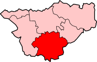
Cheshire East is a unitary authority area with Borough status in the United Kingdom, borough status in the ceremonial county of Cheshire, England. The local authority is Cheshire East Council. Towns within the area include Crewe, Macclesfield, Congleton, Sandbach, Wilmslow, Handforth, Knutsford, Poynton, Bollington, Alsager and Nantwich. The council is based in the town of Sandbach. History The borough council was established in April 2009 as part of the 2009 structural changes to local government in England, by virtue of an order under the Local Government and Public Involvement in Health Act 2007. It is an amalgamation of the former boroughs of Macclesfield (borough), Macclesfield, Congleton (borough), Congleton and Crewe and Nantwich, and includes the functions of the former Cheshire County Council. The residual part of the disaggregated former County Council, together with the other three former Cheshire borough councils (Chester City, Ellesmere Port & Neston and Vale Royal) ... [...More Info...] [...Related Items...] OR: [Wikipedia] [Google] [Baidu] |
Crewe
Crewe () is a railway town and civil parish in the unitary authority of Cheshire East in Cheshire, England. The Crewe built-up area had a total population of 75,556 in 2011, which also covers parts of the adjacent civil parishes of Willaston, Shavington cum Gresty and Wistaston. Crewe is perhaps best known as a large railway junction and home to Crewe Works; for many years, it was a major railway engineering facility for manufacturing and overhauling locomotives, but now much reduced in size. From 1946 until 2002, it was also the home of Rolls-Royce motor car production. The Pyms Lane factory on the west of the town now exclusively produces Bentley motor cars. Crewe is north of London, south of Manchester city centre, and south of Liverpool city centre. History Medieval The name derives from an Old Welsh word ''criu'', meaning 'weir' or 'crossing'. The earliest record is in the Domesday Book, where it is written as ''Creu''. Modern Until the Grand Junction Railw ... [...More Info...] [...Related Items...] OR: [Wikipedia] [Google] [Baidu] |
River Weaver
The River Weaver is a river, navigable in its lower reaches, running in a curving route anti-clockwise across west Cheshire, northern England. Improvements to the river to make it navigable were authorised in 1720 and the work, which included eleven locks, was completed in 1732. An unusual clause in the enabling Act of Parliament stipulated that profits should be given to the County of Cheshire for the improvement of roads and bridges, but the navigation was not initially profitable, and it was 1775 before the first payments were made. Trade continued to rise, and by 1845, over £500,000 had been given to the county. The major trade was salt. The arrival of the Trent and Mersey Canal at Anderton in 1773 was detrimental to the salt trade at first, but ultimately beneficial, as salt was tipped down chutes from the canal into barges on the river navigation. Access to the river was improved in 1810 by the Weston Canal, which provided a link to Weston Point, where boats could reach ... [...More Info...] [...Related Items...] OR: [Wikipedia] [Google] [Baidu] |
Sash Window
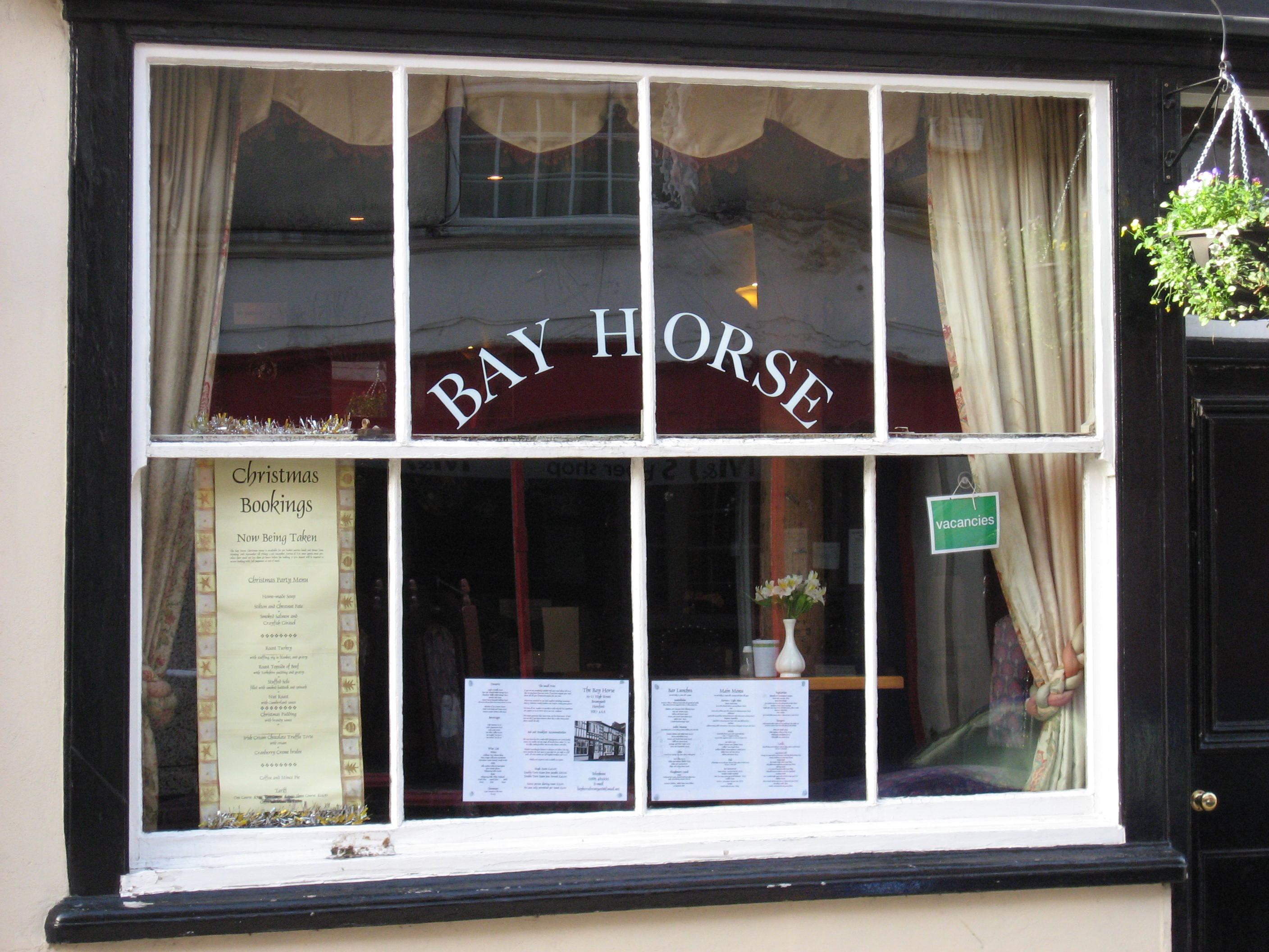
A sash window or hung sash window is made of one or more movable panels, or "sashes". The individual sashes are traditionally paned window (architecture), paned windows, but can now contain an individual sheet (or sheets, in the case of double glazing) of glass. History The oldest surviving examples of sash windows were installed in England in the 1670s, for example at Ham House.Louw, HJ, ''Architectural History'', Vol. 26, 1983 (1983), pp. 49–72, 144–15JSTOR The invention of the sash window is sometimes credited, without conclusive evidence, to Robert Hooke. Others see the sash window as a Dutch invention. H.J. Louw believed that the sash window was developed in England, but concluded that it was impossible to determine the exact inventor. The sash window is often found in Georgian architecture, Georgian and Victorian architecture, Victorian houses, and the classic arrangement has three panes across by two up on each of two sash, giving a ''six over six'' panel window, alth ... [...More Info...] [...Related Items...] OR: [Wikipedia] [Google] [Baidu] |
Casement Window
A casement window is a window that is attached to its frame by one or more hinges at the side. They are used singly or in pairs within a common frame, in which case they are hinged on the outside. Casement windows are often held open using a casement stay. Windows hinged at the top are referred to as awning windows, and ones hinged at the bottom are called hoppers. Overview Throughout Britain and Ireland, casement windows were common before the sash window was introduced. They were usually metal with leaded glass, which refers to glass panes held in place with strips of lead called cames (leaded glass should not be confused with lead glass, which refers to the manufacture of the glass itself). These casement windows usually were hinged on the side, and opened inward. By the start of the Victorian era, opening casements and frames were constructed from timber in their entirety. The windows were covered by functional exterior shutters, which opened outward. Variants of casement ... [...More Info...] [...Related Items...] OR: [Wikipedia] [Google] [Baidu] |
Bay (architecture)
In architecture, a bay is the space between architectural elements, or a recess or compartment. The term ''bay'' comes from Old French ''baie'', meaning an opening or hole."Bay" ''Online Etymology Dictionary''. http://www.etymonline.com/index.php?allowed_in_frame=0&search=bay&searchmode=none accessed 3/10/2014 __NOTOC__ Examples # The spaces between posts, columns, or buttresses in the length of a building, the division in the widths being called aisles. This meaning also applies to overhead vaults (between ribs), in a building using a vaulted structural system. For example, the Gothic architecture period's Chartres Cathedral has a nave (main interior space) that is '' "seven bays long." '' Similarly in timber framing a bay is the space between posts in the transverse direction of the building and aisles run longitudinally."Bay", n.3. def. 1-6 and "Bay", n.5 def 2. ''Oxford English Dictionary'' Second Edition on CD-ROM (v. 4.0) © Oxford University Press 2009 # Where there a ... [...More Info...] [...Related Items...] OR: [Wikipedia] [Google] [Baidu] |
Listed Building
In the United Kingdom, a listed building or listed structure is one that has been placed on one of the four statutory lists maintained by Historic England in England, Historic Environment Scotland in Scotland, in Wales, and the Northern Ireland Environment Agency in Northern Ireland. The term has also been used in the Republic of Ireland, where buildings are protected under the Planning and Development Act 2000. The statutory term in Ireland is " protected structure". A listed building may not be demolished, extended, or altered without special permission from the local planning authority, which typically consults the relevant central government agency, particularly for significant alterations to the more notable listed buildings. In England and Wales, a national amenity society must be notified of any work to a listed building which involves any element of demolition. Exemption from secular listed building control is provided for some buildings in current use for worship, ... [...More Info...] [...Related Items...] OR: [Wikipedia] [Google] [Baidu] |
National Heritage List For England
The National Heritage List for England (NHLE) is England's official database of protected heritage assets. It includes details of all English listed buildings, scheduled monuments, register of historic parks and gardens, protected shipwrecks, and registered battlefields. It is maintained by Historic England, a government body, and brings together these different designations as a single resource even though they vary in the type of legal protection afforded to them. Although not designated by Historic England, World Heritage Sites also appear on the NHLE; conservation areas do not appear since they are designated by the relevant local planning authority. The passage of the Ancient Monuments Protection Act 1882 established the first part of what the list is today, by granting protection to 50 prehistoric monuments. Amendments to this act increased the levels of protection and added more monuments to the list. Beginning in 1948, the Town and Country Planning Acts created the fir ... [...More Info...] [...Related Items...] OR: [Wikipedia] [Google] [Baidu] |


_Light.jpg)
