|
Wohratal
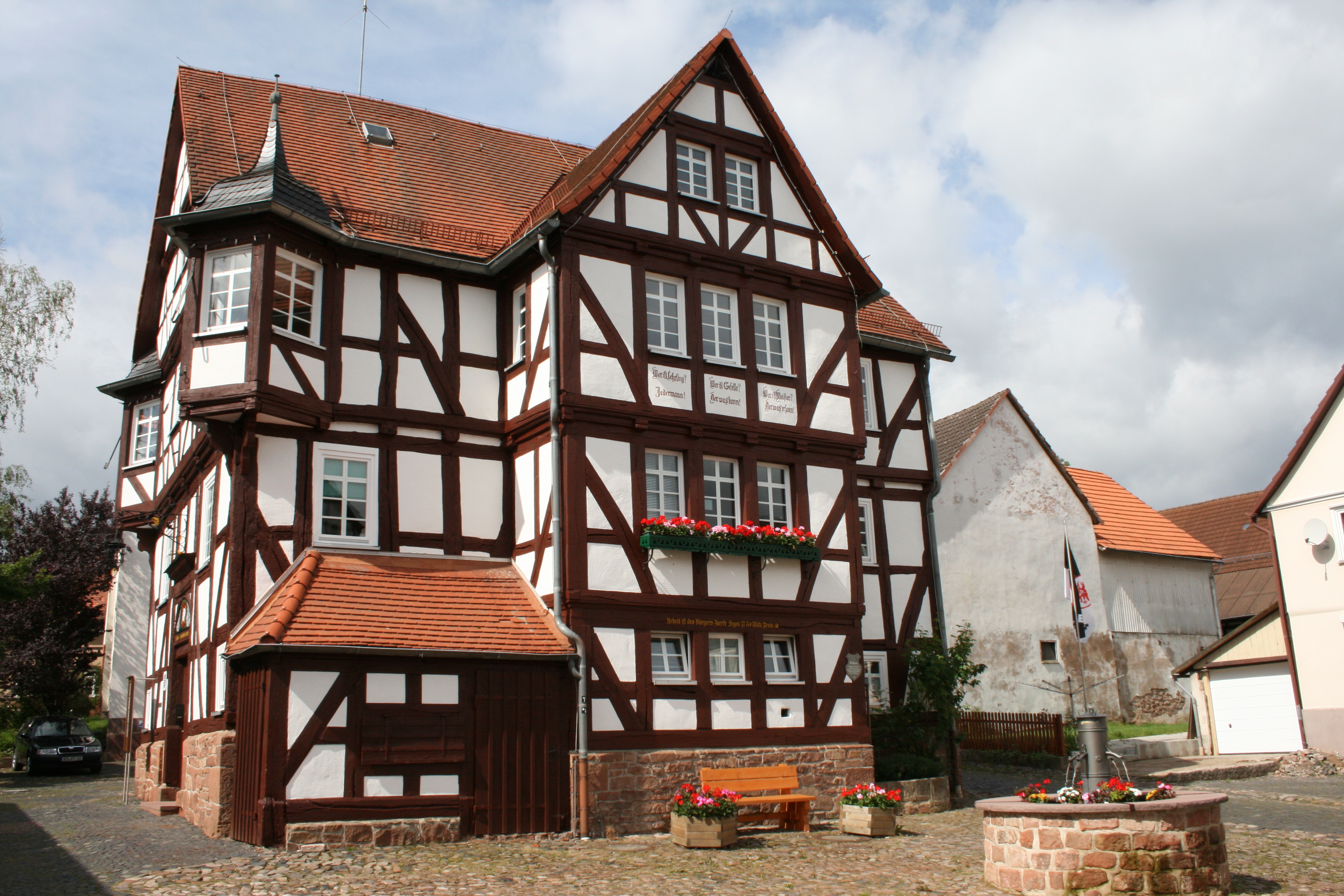
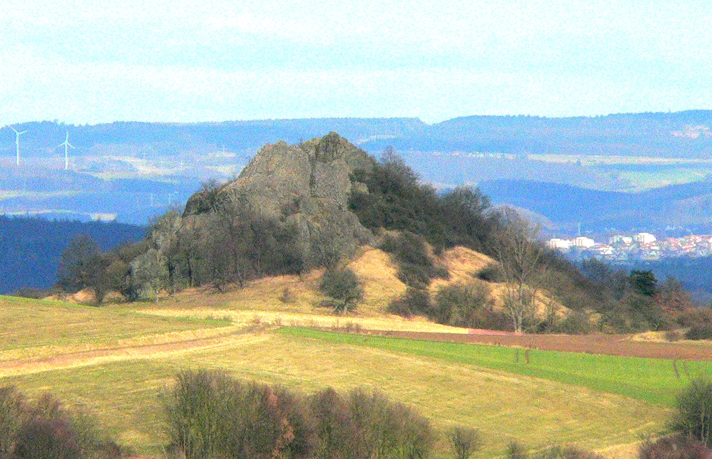
Wohratal is a municipality in Marburg-Biedenkopf district in Hessen, Germany. Geography Wohratal lies between the ''Kellerwald'' (forest) in the east and the ''Burgwald'', a low mountain range, in the west, on the river Wohra. Among the bigger neighbouring centres are the towns of Frankenberg an der Eder to the northwest and Kirchhain to the south. Neighbouring municipalities In the north, Wohratal borders on the towns of Rosenthal and Gemünden, both in Waldeck-Frankenberg district, in the east on the community of Gilserberg in Schwalm-Eder district, and on Rauschenberg, also in Marburg-Biedenkopf district, in the south and west. Constituent communities The community consists of four centres: Wohra, Hertingshausen, Halsdorf and Langendorf. Politics As of the municipal elections on 26 March 2006, the seats on Wohratal's council are apportioned thus: *SPD 7 seats * CDU 5 seats *Greens Greens may refer to: *Leaf vegetables such as collard greens, mustard greens, spring greens ... [...More Info...] [...Related Items...] OR: [Wikipedia] [Google] [Baidu] |
Rosenthal (Hessen)
Rosenthal is a small town in southeast Waldeck-Frankenberg district in Hesse, Germany. Geography Location Rosenthal lies in the Burgwald range 11 km southeast of Frankenberg and 18 km northeast of Marburg. Neighbouring communities Rosenthal borders in the north on the community of Burgwald, in the east on the town of Gemünden (both in Waldeck-Frankenberg), in the southeast on the community of Wohratal, in the south on the towns of Rauschenberg and Wetter, and in the west on the community of Münchhausen (all in Marburg-Biedenkopf). Constituent communities Besides the main town, which bears the same name as the whole, the town of Rosenthal consists of the centres of Roda and Willershausen. History Rosenthal was founded in 1327 as a Mainz town and outpost in the dispute over the Hessian fief, but nevertheless passed to the Landgraviate of Hesse in 1464. In 1688, the town achieved dubious fame by being the scene of Hesse's last witch burnings. In 1866, Rosenthal pa ... [...More Info...] [...Related Items...] OR: [Wikipedia] [Google] [Baidu] |
Gemünden (Wohra)
Gemünden () is a town in Waldeck-Frankenberg district in Hesse, Germany. Geography Location Gemünden lies roughly 22 km northeast of Marburg on the edge of the Burgwald range to the west and near the Kellerwald range rising to the northeast. The river Wohra crosses the town. Neighbouring communities Gemünden borders in the north on the community of Haina (Waldeck-Frankenberg), in the east on the community of Gilserberg (Schwalm-Eder-Kreis), in the south on the community of Wohratal (Marburg-Biedenkopf) and in the west on the town of Rosenthal (Waldeck-Frankenberg). Constituent communities The town consists of the centres of Ellnrode, Gemünden (Wohra), Grüsen, Herbelhausen, Lehnhausen, Schiffelbach and Sehlen. History Gemünden was formed out of seven villages: Holzbach, Giebelingsbach, Burghardshausen, Ernstdorf, Steigershausen, Osterbach and Katzbach The town's first documentary mentions come from the years 750 to 779, under the name ''Zegemunde''. The second docume ... [...More Info...] [...Related Items...] OR: [Wikipedia] [Google] [Baidu] |
Rauschenberg, Hesse
Rauschenberg is a town in the north of Marburg-Biedenkopf district in Hesse, Germany. Geography Location Rauschenberg lies at the southern edge of the ''Burgwald'', a low mountain range, near Marburg and Kirchhain. Neighbouring communities Rauschenberg borders in the north on the town of Rosenthal (Waldeck-Frankenberg) as well as on the communities of Wohratal (Marburg-Biedenkopf) and Gilserberg (Schwalm-Eder-Kreis), in the east on the town of Stadtallendorf, in the south on the town of Kirchhain, in the southwest on the community of Cölbe, and in the west on the town of Wetter (all in Marburg-Biedenkopf). Municipality divisions Rauschenberg consists out of following villages: * Albshausen * Bracht * Ernsthausen * Josbach * Rauschenberg (town) * Schwabendorf * Wolfskaute History Even as far back as 1000, a castle was built in what is now Rauschenberg. After a fire about 1250, almost the whole settlement was destroyed. Shortly after Rauschenberg was founded by the Counts of Z ... [...More Info...] [...Related Items...] OR: [Wikipedia] [Google] [Baidu] |
Hessisches Statistisches Landesamt ...
The statistical offices of the German states (German: ''Statistische Landesämter'') carry out the task of collecting official statistics in Germany together and in cooperation with the Federal Statistical Office. The implementation of statistics according to Article 83 of the constitution is executed at state level. The federal government has, under Article 73 (1) 11. of the constitution, the exclusive legislation for the "statistics for federal purposes." There are 14 statistical offices for the 16 states: See also * Federal Statistical Office of Germany References {{Reflist Germany Statistical offices Germany Germany,, officially the Federal Republic of Germany, is a country in Central Europe. It is the second most populous country in Europe after Russia, and the most populous member state of the European Union. Germany is situated betwe ... [...More Info...] [...Related Items...] OR: [Wikipedia] [Google] [Baidu] |
Frankenberg An Der Eder
Frankenberg an der Eder is a town in Waldeck-Frankenberg district, Hesse, Germany. The mountain at a ford over the Eder north of the Burgwald range was for a long time a fortified place, playing an especially important role under the Franks in the Saxon Wars. The town was built in 1233-1234 by the Thuringian Landgrave at the junction of two trade routes. The renovated Old and New Town have many half-timbered houses. In 2018 the town adopted the additional name "Philipp Soldan Stadt". Geography Frankenberg lies between the Burgwald range in the south and the Breite Struth (hills) in the northwest, where the river Nemphe empties into the Eder. North of the town, the Nuhne empties into the same river at the constituent community of Schreufa. It is north of Marburg. Neighbouring communities Frankenberg borders in the north on the community of Vöhl, in the east on the town of Frankenau, in the southeast on the community of Haina, in the southwest on the community of Burgwald, in t ... [...More Info...] [...Related Items...] OR: [Wikipedia] [Google] [Baidu] |
Kirchhain
Kirchhain () is a town in Marburg-Biedenkopf district in Hesse, Germany. Geography Kirchhain is located in the heart of the state of Hesse in Marburg-Biedenkopf district. Geographically, it is surrounded by the Amöneburg Basin on the southeast edge of the ''Burgwald'' (a low mountain range) about 15 km east of Marburg on the rivers Ohm River, Ohm and Wohra. Neighbouring communities In the north, Kirchhain borders on the town of Rauschenberg, Hesse, Rauschenberg, in the east on the town of Stadtallendorf, in the south on the town of Amöneburg and the community of Cölbe. Town divisions Besides the main centre of Kirchhain with about 8,300 inhabitants, 12 further constituent communities share another 8,900 people: History In prehistoric times a network of long-distance and connecting trails crossed back and forth over the area where the town of Kirchhain was later to be founded. Since the early New Stone Age, there is evidence of almost continuous settlement in the area ... [...More Info...] [...Related Items...] OR: [Wikipedia] [Google] [Baidu] |
Waldeck-Frankenberg
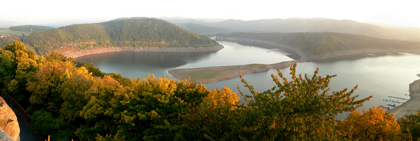
Waldeck-Frankenberg is a ''Kreis'' (district) in the north of Hesse, Germany. Neighbouring districts are Höxter, Kassel, Schwalm-Eder, Marburg-Biedenkopf, Siegen-Wittgenstein, Hochsauerland. History The district was created in 1972 by merging the two districts of Frankenberg and Waldeck. Most of the area of the district was previously part of the ''Freistaat Waldeck'', the successor of the principality of Waldeck. Geography The district is located in the mountains of the Sauerland, with the highest elevation in the district of . With , it's the largest district in Hessen. Four artificial lakes created by dams are in the district, the biggest is the Edersee, which covers an area of . The Eder is also the main river in the district; the Diemel in the north is a smaller river. Mountains * Sähre Coat of arms ;Blason :''“Per bend sinister Azure a lion rampant issuant per fess Argent and Gules and Or a star with eight rays Sable.”'' The coat of arms shows the lion of Hesse i ... [...More Info...] [...Related Items...] OR: [Wikipedia] [Google] [Baidu] |
Gilserberg
Gilserberg is a municipality in the Schwalm-Eder district in Hesse, Germany. Geography Location Gilserberg lies at the foot of the Kellerwald, a low mountain range, nestled in the Kurhessen Highland on Federal Highway (''Bundesstraße'') B 3, 60 km from Kassel and 30 km from Marburg. Constituent communities Together with the main centre, which also bears the same name as the whole municipality, the ten centres of Appenhain, Heimbach, Itzenhain, Lischeid, Moischeid, Sachsenhausen, Schönau, Schönstein, Sebbeterode and Winterscheid also belong to the community of Gilserberg. History Gilserberg had its first documentary mention in 1262. Religion Jewish community There was a Jewish community in Gilserberg from the 18th century through to sometime after 1933. The Jewish population peaked about 1900 at 70 or more persons. The first synagogue was supposedly built about the beginning of the 19th century. A newer one was festively consecrated on 12 January 1898. However ... [...More Info...] [...Related Items...] OR: [Wikipedia] [Google] [Baidu] |
Schwalm-Eder-Kreis
Schwalm-Eder-Kreis is a ''Kreis'' (district) in the north of Hesse, Germany. Neighbouring districts are Kassel, Werra-Meißner, Hersfeld-Rotenburg, Vogelsberg, Marburg-Biedenkopf, and Waldeck-Frankenberg. History In 1821 districts were created in Hesse. They included the districts of Fritzlar, Homberg, Melsungen, and Ziegenhain. In 1932 the districts of Fritzlar and Homberg were merged; in 1974 the three districts of Fritzlar-Homberg, Melsungen, and Ziegenhain were merged into the Schwalm-Eder district. The district is twinned with the Finnish city of Kajaani, the British district of Sedgemoor, and the Polish district of Piła. Geography The Schwalm and Eder rivers give the district its name. After they merge close to Felsberg, the Eder enters the Fulda to the north at Edermunde. The southeast of the district includes a portion of the Knüllgebirge range of low mountains; the highest elevation is . In the north are the hills of the ''Homberger Hochland''. The centre of the ... [...More Info...] [...Related Items...] OR: [Wikipedia] [Google] [Baidu] |
Social Democratic Party Of Germany
The Social Democratic Party of Germany (german: Sozialdemokratische Partei Deutschlands, ; SPD, ) is a centre-left social democratic political party in Germany. It is one of the major parties of contemporary Germany. Saskia Esken has been the party's leader since the 2019 leadership election together with Lars Klingbeil, who joined her in December 2021. After Olaf Scholz was elected chancellor in 2021 the SPD became the leading party of the federal government, which the SPD formed with the Greens and the Free Democratic Party, after the 2021 federal election. The SPD is a member of 11 of the 16 German state governments and is a leading partner in seven of them. The SPD was established in 1863. It was one of the earliest Marxist-influenced parties in the world. From the 1890s through the early 20th century, the SPD was Europe's largest Marxist party, and the most popular political party in Germany. During the First World War, the party split between a pro-war mainstream ... [...More Info...] [...Related Items...] OR: [Wikipedia] [Google] [Baidu] |
Christian Democratic Union (Germany)
The Christian Democratic Union of Germany (german: link=no, Christlich Demokratische Union Deutschlands ; CDU ) is a Christian democratic and liberal conservative political party in Germany. It is the major catch-all party of the centre-right in German politics. Friedrich Merz has been federal chairman of the CDU since 31 January 2022. The CDU is the second largest party in the Bundestag, the German federal legislature, with 152 out of 736 seats, having won 18.9% of votes in the 2021 federal election. It forms the CDU/CSU Bundestag faction, also known as the Union, with its Bavarian counterpart, the Christian Social Union in Bavaria (CSU). The group's parliamentary leader is also Friedrich Merz. Founded in 1945 as an interdenominational Christian party, the CDU effectively succeeded the pre-war Catholic Centre Party, with many former members joining the party, including its first leader Konrad Adenauer. The party also included politicians of other backgrounds, including lib ... [...More Info...] [...Related Items...] OR: [Wikipedia] [Google] [Baidu] |
Alliance '90/The Greens
Alliance 90/The Greens (german: Bündnis 90/Die Grünen, ), often simply referred to as the Greens ( ), is a Green politics, green List of political parties in Germany, political party in Germany. It was formed in 1993 as the merger of The Greens (formed in West Germany in 1980) and Alliance 90 (formed in East Germany in 1990). The Greens had itself merged with the East German Green Party after German reunification in 1990. Since January 2022, Ricarda Lang and Omid Nouripour have been co-leaders of the party. It currently holds 118 of the 736 seats in the Bundestag, having won 14.8% of votes cast in the 2021 German federal election, 2021 federal election, and its parliamentary group is the third largest of six. Its parliamentary co-leaders are Britta Haßelmann and Katharina Dröge. The Greens have been part of the federal government during two periods: first as a junior partner to the Social Democratic Party of Germany, Social Democrats (SPD) from 1998 to 2005, and again with the ... [...More Info...] [...Related Items...] OR: [Wikipedia] [Google] [Baidu] |


