|
Williamsburg, Virginia
Williamsburg is an independent city in the Commonwealth of Virginia, United States. As of the 2020 census, it had a population of 15,425. Located on the Virginia Peninsula, Williamsburg is in the northern part of the Hampton Roads metropolitan area. It is bordered by James City County on the west and south and York County on the east. English settlers founded Williamsburg in 1632 as Middle Plantation, a fortified settlement on high ground between the James and York rivers. The city functioned as the capital of the Colony and Commonwealth of Virginia from 1699 to 1780 and became the center of political events in Virginia leading to the American Revolution. The College of William & Mary, established in 1693, is the second-oldest institution of higher education in the United States and the only one of the nine colonial colleges in the South. Its alumni include three U.S. presidents as well as many other important figures in the nation's early history. The city's tourism-based ... [...More Info...] [...Related Items...] OR: [Wikipedia] [Google] [Baidu] |
Independent City (United States)
In the United States, an independent city is a city that is not in the territory of any County (United States), county or counties and is considered a primary administrative division of its state. Independent cities are classified by the United States Census Bureau as "county equivalents" and may also have similar governmental powers to a consolidated city-county. However, in the case of a consolidated city-county, a city and a county were merged into a unified jurisdiction in which the county at least nominally exists to this day, whereas an independent city was legally separated from any county or merged with a county that simultaneously ceased to exist even in name.Cities 101 -- Consolidations from National League of Cities Of the 41 independent U.S. cities, 38 are in Virginia, wh ... [...More Info...] [...Related Items...] OR: [Wikipedia] [Google] [Baidu] |
Hampton Roads
Hampton Roads is the name of both a body of water in the United States that serves as a wide channel for the James River, James, Nansemond River, Nansemond and Elizabeth River (Virginia), Elizabeth rivers between Old Point Comfort and Sewell's Point where the Chesapeake Bay flows into the Atlantic Ocean, and the surrounding metropolitan region located in the southeastern Virginia and northeastern North Carolina portions of the Tidewater (region), Tidewater Region. Comprising the Virginia Beach–Norfolk–Newport News, VA–NC, metropolitan area and an extended combined statistical area that includes the Elizabeth City, North Carolina micropolitan area, Elizabeth City, North Carolina, micropolitan statistical area and Dare County, North Carolina, Kill Devil Hills, North Carolina, micropolitan statistical area, Hampton Roads is known for its large military presence, ice-free harbor, shipyards, coal piers, and miles of waterfront property and beaches, all of which contribute to th ... [...More Info...] [...Related Items...] OR: [Wikipedia] [Google] [Baidu] |
Yorktown, Virginia
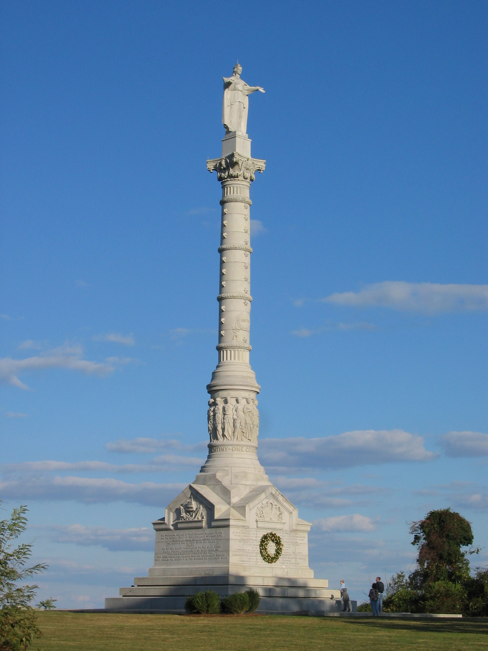
Yorktown is a census-designated place (CDP) in York County, Virginia. It is the county seat of York County, one of the eight original shires formed in colonial Virginia in 1682. Yorktown's population was 195 as of the 2010 census, while York County's population was 66,134 in the 2011 census estimate. The town is most famous as the site of the siege and subsequent surrender of General Charles Cornwallis to General George Washington and the French Fleet during the American Revolutionary War on October 19, 1781. Although the war would last for another year, this British defeat at Yorktown effectively ended the war in North America. Yorktown also figured prominently in the American Civil War (1861–1865), serving as a major port to supply both northern and southern towns, depending upon who held Yorktown at the time. Yorktown is one of three sites of the Historic Triangle, which also includes Jamestown and Williamsburg as important colonial-era settlements. It is the eastern te ... [...More Info...] [...Related Items...] OR: [Wikipedia] [Google] [Baidu] |
Jamestown Settlement
Jamestown Settlement is a living history museum operated by the Commonwealth of Virginia, created in 1957 as Jamestown Festival Park for the 350th anniversary celebration. Today it includes a recreation of the original James Fort (c. 1607 to 1614), a Powhatan Native American town, indoor and outdoor displays, and replicas of the original settlers' ships: the ''Susan Constant'', '' Godspeed'', and ''Discovery''. The museum complex is located adjacent to Historic Jamestowne, on Jamestown Island, which is run in partnership by the National Park Service and the Jamestown Rediscovery Foundation, a private nonprofit branch oPreservation Virginiadedicated to the archaeological mission. Historic Jamestowne is established in the original James Fort and Jamestown Colony, the first successful English settlement on the mainland of North America, founded on May 14, 1607. Colonial Williamsburg and ThAmerican Revolution Museum in Yorktown additional living history sites, follow the next centenn ... [...More Info...] [...Related Items...] OR: [Wikipedia] [Google] [Baidu] |
Colonial Williamsburg
Colonial Williamsburg is a living-history museum and private foundation presenting a part of the historic district in the city of Williamsburg, Virginia, United States. The Colonial Williamsburg Foundation has 7300 employees at this location and . (Employees figure is .) There are 37 companies in The Colonial Williamsburg Foundation corporate family. Its historic area includes several hundred restored or re-created buildings from the 18th century, when the city was the capital of Colonial Virginia; 17th-century, 19th-century, and Colonial Revival structures; and more recent reconstructions. An interpretation of a colonial American city, the historic area includes three main thoroughfares and their connecting side streets that attempt to suggest the atmosphere and the circumstances of 18th-century Americans. Costumed employees work and dress as people did in the era, sometimes using colonial grammar and diction (although not colonial accents). In the late 1920s, the restoration a ... [...More Info...] [...Related Items...] OR: [Wikipedia] [Google] [Baidu] |
Southern United States
The Southern United States (sometimes Dixie, also referred to as the Southern States, the American South, the Southland, or simply the South) is a geographic and cultural region of the United States of America. It is between the Atlantic Ocean and the Western United States, with the Midwestern and Northeastern United States to its north and the Gulf of Mexico and Mexico to its south. Historically, the South was defined as all states south of the 18th century Mason–Dixon line, the Ohio River, and 36°30′ parallel.The South . ''Britannica.com''. Retrieved June 5, 2021. Within the South are different subregions, such as the |
Colonial Colleges
The colonial colleges are nine institutions of higher education chartered in the Thirteen Colonies before the United States of America became a sovereign nation after the American Revolution. These nine have long been considered together, notably since the survey of their origins in the 1907 ''The Cambridge History of English and American Literature''. Seven of the nine colonial colleges became seven of the eight Ivy League universities: Harvard University, Harvard, Yale University, Yale, Princeton University, Princeton, Columbia University, Columbia, University of Pennsylvania, Brown University, Brown, and Dartmouth College, Dartmouth. (The remaining Ivy League institution, Cornell University, was founded in 1865). These are all private universities. The two colonial colleges not in the Ivy League are now both public universities — The College of William & Mary in Virginia and Rutgers University in New Jersey. William & Mary was a royal charter, royal institution from 1693 ... [...More Info...] [...Related Items...] OR: [Wikipedia] [Google] [Baidu] |
College Of William & Mary
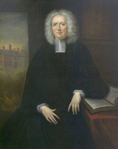
The College of William & Mary (officially The College of William and Mary in Virginia, abbreviated as William & Mary, W&M) is a public research university in Williamsburg, Virginia. Founded in 1693 by letters patent issued by King William III and Queen Mary II, it is the second-oldest institution of higher education in the United States and the ninth-oldest in the English-speaking world. Institutional rankings have placed it among the best public universities in the United States. The college educated American presidents Thomas Jefferson, James Monroe, and John Tyler. It also educated other key figures pivotal to the development of the United States, including the first President of the Continental Congress Peyton Randolph, the first U.S. Attorney General Edmund Randolph, the fourth U.S. Supreme Court Chief Justice John Marshall, Speaker of the House of Representatives Henry Clay, Commanding General of the U.S. Army Winfield Scott, sixteen members of the Continental Con ... [...More Info...] [...Related Items...] OR: [Wikipedia] [Google] [Baidu] |
American Revolution
The American Revolution was an ideological and political revolution that occurred in British America between 1765 and 1791. The Americans in the Thirteen Colonies formed independent states that defeated the British in the American Revolutionary War (1775–1783), gaining independence from the British Crown and establishing the United States of America as the first nation-state founded on Enlightenment principles of liberal democracy. American colonists objected to being taxed by the Parliament of Great Britain, a body in which they had no direct representation. Before the 1760s, Britain's American colonies had enjoyed a high level of autonomy in their internal affairs, which were locally governed by colonial legislatures. During the 1760s, however, the British Parliament passed a number of acts that were intended to bring the American colonies under more direct rule from the British metropole and increasingly intertwine the economies of the colonies with those of Brit ... [...More Info...] [...Related Items...] OR: [Wikipedia] [Google] [Baidu] |
Colony Of Virginia
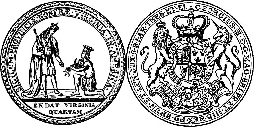
The Colony of Virginia, chartered in 1606 and settled in 1607, was the first enduring English colonial empire, English colony in North America, following failed attempts at settlement on Newfoundland (island), Newfoundland by Sir Humphrey GilbertGilbert (Saunders Family), Sir Humphrey" (history), ''Dictionary of Canadian Biography'' Online, University of Toronto, May 2, 2005 in 1583 and the colony of Roanoke (further south, in modern eastern North Carolina) by Sir Walter Raleigh in the late 1580s. The founder of the new colony was the Virginia Company, with the first two settlements in Jamestown, Virginia, Jamestown on the north bank of the James River and Popham Colony on the Kennebec River in modern-day Maine, both in 1607. The Popham colony quickly failed due to Starving Time, a famine, disease, and conflicts with local Native American tribes in the first two years. Jamestown occupied land belonging to the Powhatan Confederacy, and was also at the brink of failure before the arr ... [...More Info...] [...Related Items...] OR: [Wikipedia] [Google] [Baidu] |
York River (Virginia)
The York River is a navigable estuary, approximately long,U.S. Geological Survey. National Hydrography Dataset high-resolution flowline dataThe National Map, accessed April 1, 2011 in eastern Virginia in the United States. It ranges in width from at its head to near its mouth on the west side of Chesapeake Bay. Its watershed drains an area of the Atlantic coastal plain, coastal plain of Virginia north and east of Richmond, Virginia, Richmond. Its banks were inhabited by indigenous peoples of North America, indigenous peoples for thousands of years. In 2003 evidence was found of the likely site of Werowocomoco, one of two capitals used by the paramount chief Powhatan before 1609. The site was inhabited since 1200 as a major village. Enormously important in later U.S. history, the river was also the scene of early settlements of the Colony of Virginia, Virginia Colony. It was the site of significant events and battles in both the American Revolutionary War and the American C ... [...More Info...] [...Related Items...] OR: [Wikipedia] [Google] [Baidu] |
James River
The James River is a river in the U.S. state of Virginia that begins in the Appalachian Mountains and flows U.S. Geological Survey. National Hydrography Dataset high-resolution flowline dataThe National Map , accessed April 1, 2011 to Chesapeake Bay. The river length extends to if one includes the Jackson River, the longer of its two source tributaries. It is the longest river in Virginia. Jamestown and Williamsburg, Virginia's first colonial capitals, and Richmond, Virginia's current capital, lie on the James River. History The Native Americans who populated the area east of the Fall Line in the late 16th and early 17th centuries called the James River the Powhatan River, named for the chief of the Powhatan Confederacy which extended over most of the Tidewater region of Virginia. The Jamestown colonists who arrived in 1607 named it "James" after King James I of England (), as they constructed the first permanent English settlement in the Americas at Jamestown along t ... [...More Info...] [...Related Items...] OR: [Wikipedia] [Google] [Baidu] |


.jpg)


