|
William Duckett White
William Duckett White (1807–1893) was a squatter and politician in Queensland, Australia. He was a Member of the Queensland Legislative Council. Early life William White was born into a large Quaker family on 5 October 1807 in Moate, County Westmeath, Ireland and was educated at the Quaker school in Mountmellick in County Laois. In 1835 William married Jane Simpson from Cork. Pastoral career William and Jane White and their two children emigrated from Ireland to Sydney as assisted immigrants in 1840. When he arrived in Australia, William assumed his grandmother's maiden name as a second Christian name, and became known thereafter as William Duckett White. From 1842-44 White taught school in the Mangrove area north of Sydney until accepting an offer in 1845 to manage the Beau Desert pastoral run in the Moreton Bay District for his cousin Joseph Phelps Robinson. When Robinson died in 1848, his brother George Robinson and W.D. White took over the lease of Beau Desert, one of the ... [...More Info...] [...Related Items...] OR: [Wikipedia] [Google] [Baidu] |
Queensland Legislative Council
The Queensland Legislative Council was the upper house of the parliament in the Australian state of Queensland. It was a fully nominated body which first took office on 1 May 1860. It was abolished by the Constitution Amendment Act 1921, which took effect on 23 March 1922. Consequently, the Legislative Assembly of Queensland is the only unicameral state Parliament in Australia. Two territories, the Northern Territory and Australian Capital Territory, also maintain unicameral parliaments. Most of the early members of the Council came from wealthy families, were well educated and were born in England. Absenteeism was a problem in the early years, with some members returning to England, being absent for several years. Abolition The Legislative Council was seen by the Labor Party as undemocratic and a tool of patronage, and upon the establishment of a secure Labor majority in the Assembly in 1915, Labor sought the house's abolition. Bills for this purpose were rejected by the Coun ... [...More Info...] [...Related Items...] OR: [Wikipedia] [Google] [Baidu] |
Logan River
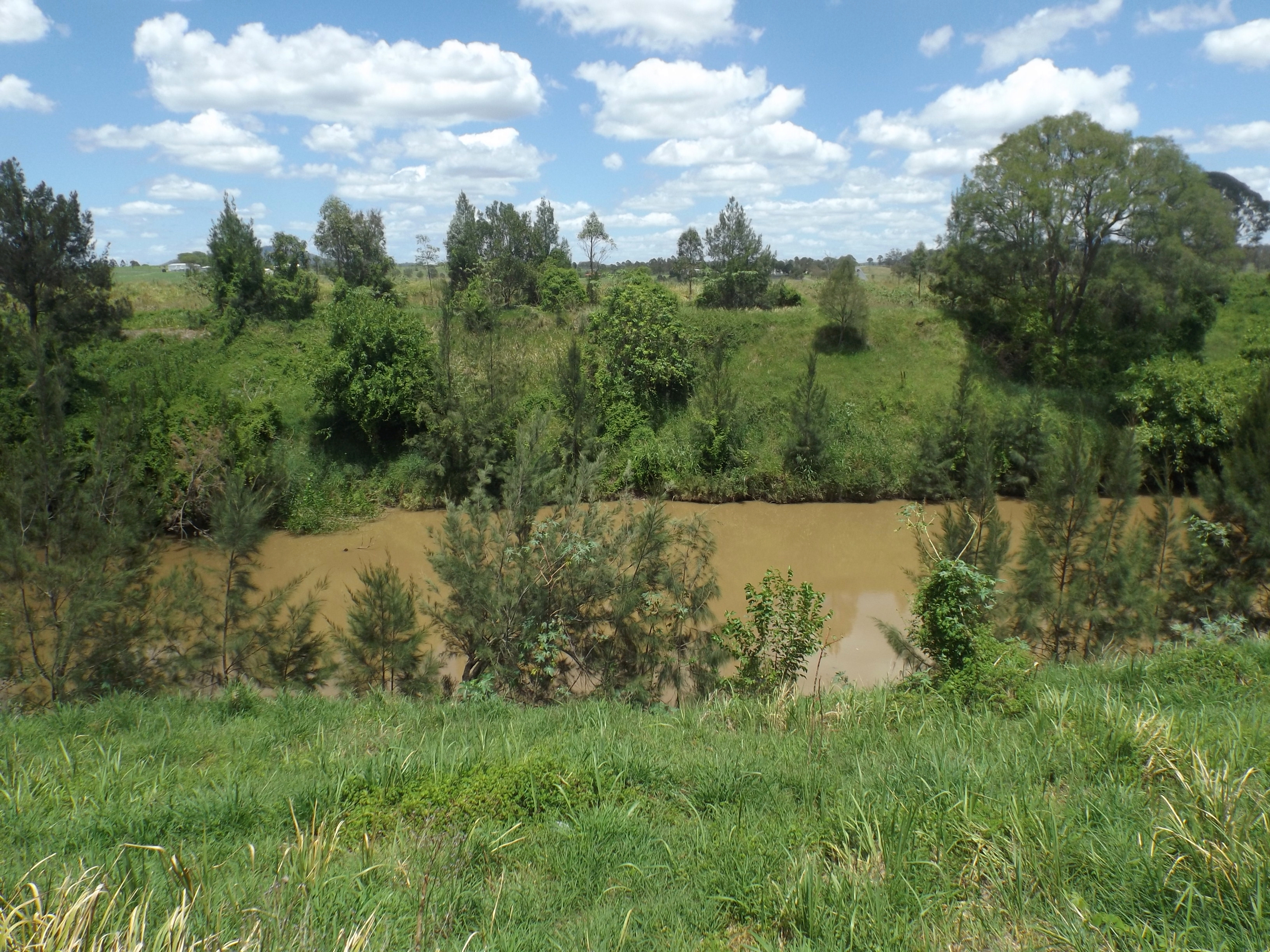
The Logan River ( Yugambeh: ''Dugulumba'') is a perennial river located in the Scenic Rim, Logan and Gold Coast local government areas of the South East region of Queensland, Australia. The -long river is one of the dominant waterways in South East Queensland that drains the southern ranges of the Scenic Rim and empties into Moreton Bay after navigating the City of Logan, a major suburban centre located south of Brisbane. The catchment is dominated by urban and agricultural land use. Near the river mouth are mangrove forests and a number of aquaculture farms. Course and features The river rises below Mount Ernest on the southern slopes of the Scenic Rim, part of the Great Dividing Range and forms in the Mount Barney National Park, near the QueenslandNew South Wales border, below Mount Lindesay. The river flows generally north by northeast, joined by eleven minor tributaries, before heading east and eventually emptying into Moreton Bay. Its principal tributaries are the Alb ... [...More Info...] [...Related Items...] OR: [Wikipedia] [Google] [Baidu] |
Tingalpa, Queensland
Tingalpa is a suburb in the City of Brisbane, Queensland, Australia. In the , Tingalpa had a population of 8,290 people. Geography The suburb has some older style homes built in the post war period – weatherboard and chamferboard post war cottages in particular. Most of the new estates are made up of typically low set and high set brick and tile homes. Previously the land that is now being developed into residential zones was devoted to small farmlets and semi-industrial developments. The recent developments, which occurred in the last five years, are increasing the population and the median house prices of the suburb. Also nearby is the Murarrie railway station that runs west to the city and east to Manly and the bay. There are also several bus routes from Tingalpa to neighbouring suburbs. History The origin of Tingalpa's name is uncertain. It may be named after Tingalpa Creek, which lies east, or be derived from the Turrubal words ''tangul'' (meaning ' plant for stup ... [...More Info...] [...Related Items...] OR: [Wikipedia] [Google] [Baidu] |
Beaudesert, Queensland
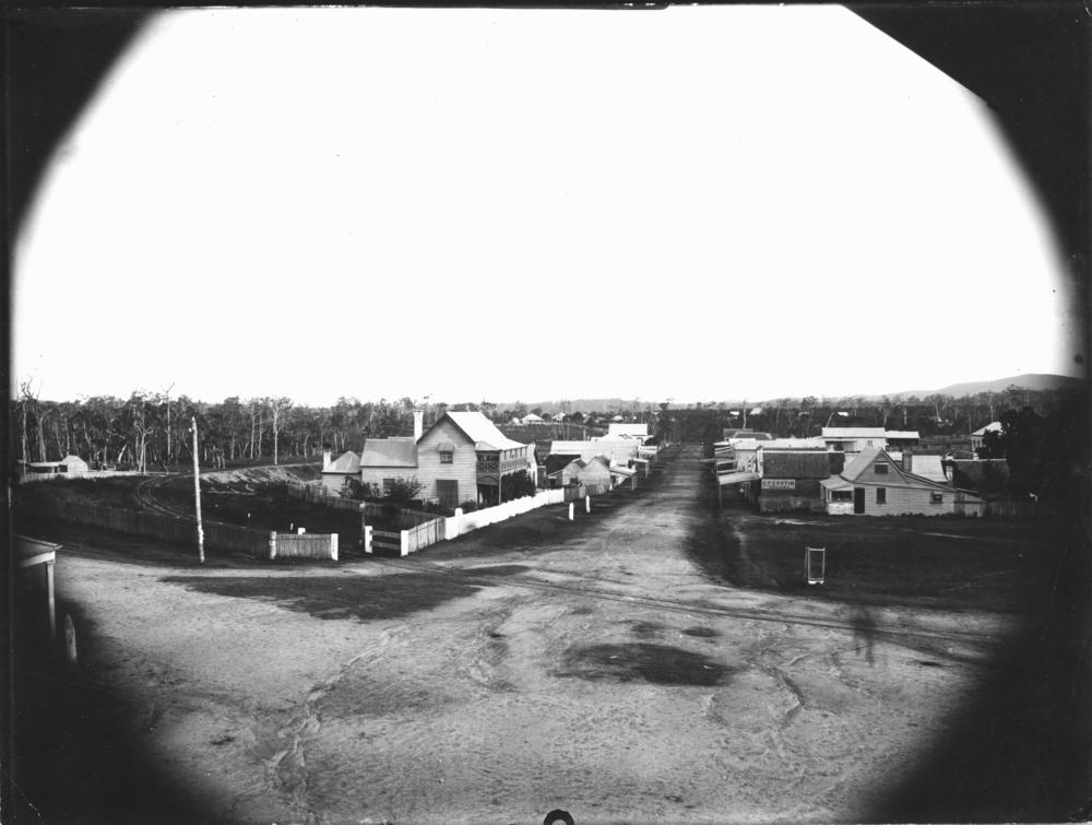
Beaudesert is a rural town and locality in the Scenic Rim Region, Queensland, Australia. In the , Beaudesert had a population of 6,395 people. Beaudesert is the administrative centre for the Scenic Rim Region. Geography Beaudesert is south of Brisbane and west of the Gold Coast. Beaudesert is located on the Mount Lindesay Highway, some south of Brisbane. The area sources its income predominantly from rural activities such as cropping, grazing and equine activities, as well as tourism. It has a racecourse, 50-metre swimming pool, public library, two gyms, two secondary schools, two primary schools, showgrounds, caravan park and several hotels and eateries. The surrounding countryside includes numerous valleys leading up to the ranges dividing Queensland and New South Wales with creeks running through them and accompanying mountain scenery. The annual agricultural show held in August is an event that includes a wide range of events and displays. Access to some of more remote ar ... [...More Info...] [...Related Items...] OR: [Wikipedia] [Google] [Baidu] |
Nindooinbah Homestead
Nindooinbah Homestead is a heritage-listed homestead at Nindooinbah Connection Road, Nindooinbah, Scenic Rim Region, Queensland, Australia. It was built from to 1907. It is also known as Nindooinbah House. It was added to the Queensland Heritage Register on 21 October 1992. History The first stage of this one-storeyed timber house was L-shaped and built about 1860. After extensions by Robin Dods in 1906-7 the house was E-shaped. The homestead included a woolshed, stables, quarters and other out buildings and yards. In 1842 Paul and Clement Lawless held the depasturing license for the Nindooinbah pastoral run. They sold it to Alfred William Compigne in 1847 when the run was about 16 square miles (41.44 square kilometres) and carried over 4,000 sheep. In 1858 Compigne purchased, by pre-emptive right, . He used his lease holdings and freehold land to raise large mortgages and with some security of tenure, it is probable that the L-shaped homestead and outbuildings were const ... [...More Info...] [...Related Items...] OR: [Wikipedia] [Google] [Baidu] |
Sarabah, Queensland
Sarabah is a locality in the Scenic Rim Region, Queensland ) , nickname = Sunshine State , image_map = Queensland in Australia.svg , map_caption = Location of Queensland in Australia , subdivision_type = Country , subdivision_name = Australia , established_title = Before federation , establishe ..., Australia. Geography ''Canungra Creek'' forms part of the south-eastern boundary before flowing through to the north. History Sarabah Provisional School opened on 6 June 1892 and closed in June 1899. In the , Sarabah had a population of 55 people. The locality contains 25 households, in which 48.0% of the population are males and 52.0% of the population are females. The population's media age of 56 is 18 years above the national average. The average weekly household income is $1,437, $1 below the national average. References {{Scenic Rim Region Localities in Queensland Scenic Rim Region ... [...More Info...] [...Related Items...] OR: [Wikipedia] [Google] [Baidu] |
Kerry, Queensland
Kerry is a rural locality in the Scenic Rim Region, Queensland, Australia. In the , Kerry had a population of 326 people. History The Nindooinbah (also spelled Nindooimbah) pastoral run was originally selected in the early 1840s by Alfred Compigne, and was subsequently purchased by William Duckett White. The White family variously owned and leased the whole of the land from the present town of Beaudesert as well as a large proportion of the land running from Beaudesert to the shores of the Pacific Ocean, in the neighbourhood of Nerang, Southport, and Coomera. This large land holding was cut up into smaller properties. In 1877, was resumed from the Nooininbah and Kerrylarabah pastoral runs and offered for selection on 17 April 1877. Eventually Nindooimbah was reduced to an area of about , of which a further was sold to William Collins. A site for a Catholic church was either donated by John Horan senior, or was a reserve for a school, purchased for £10 from the Crown by Fath ... [...More Info...] [...Related Items...] OR: [Wikipedia] [Google] [Baidu] |
Land Selection In Queensland
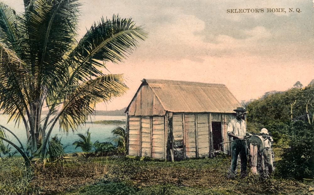
The process of land selection in Queensland in Australia began in 1860 and continued under a series of land acts in subsequent years. When Britain claimed possession of Australia, it did so on the basis of terra nullius (that the land belonged to nobody) and did not acknowledge that Indigenous people had any ownership over the land. All land in Australia became Crown land and was sold or leased by the Australian colonial governments according to the needs of the colonists. Land was considered the Queensland colony’s greatest asset. Prosperity of the colony was measured according to the extent of land settlement. Rent from land leases was the colony’s largest revenue earner. The initial political contest was between pastoralists and selectors lead by the "town liberals" who desired that immigrants have an equitable right to small land holdings. Closer settlement for agricultural purposes was promoted by the Queensland Government who desired settlement by immigrants to Queenslan ... [...More Info...] [...Related Items...] OR: [Wikipedia] [Google] [Baidu] |
Beenleigh, Queensland
Beenleigh is a town and suburb in the City of Logan, Queensland, Australia. In the , the suburb of Beenleigh had a population of 8,252 people. A government survey for the new town was conducted in 1866. The town is the terminus for the Beenleigh railway line, which first opened in 1885 and a stop on the South Coast railway line, which reached Southport in 1889. Beenleigh was the administrative centre of the former Shire of Albert. It is known for the heritage-listed tourist attraction called the Beenleigh Artisan Distillery. In recent years it has seen many high rise developments. Geography Beenleigh and adjoining suburbs are located near the confluence of the Logan and Albert Rivers. The urban centre lies southwest of the Pacific Motorway after it crosses the Logan River and is crossed by the Gold Coast railway line. Logan River Parklands contain a boat ramp, barbeques, and a picnic area. Whilst it was once a stand-alone town built on sugar and home to Australia's olde ... [...More Info...] [...Related Items...] OR: [Wikipedia] [Google] [Baidu] |
Coombabah, Queensland
Coombabah is a suburb in the City of Gold Coast, Queensland, Australia. In the , Coombabah had a population of 10,388 people. Geography Surrounding Coombabah is Paradise Point and Hope Island to the north, Arundel to the south, Runaway Bay and Biggera Waters to the east and Helensvale to the west and the Coombabah State High School. The minor arterial road servicing Coombabah is Oxley Drive. History The suburb takes its name from Coombabah Lake and Coombabah Creek, which in turn are named using Bundjalung language, Ngaraangbal dialect words meaning ''place of the wood grubs'', from the word ''goombo'' meaning teredo worm, which was a deliberately cultivated food source by the Indigenous people. Coombabah Provisional School opened circa July 1887 as a special school for the children of parents who were employed in Public Works in the area. The school was moved to Acrobat Creek and re-opened on 10 Jan 1889 as Acrobat Creek Provisional School for the children of workers bui ... [...More Info...] [...Related Items...] OR: [Wikipedia] [Google] [Baidu] |
Pimpama, Queensland
Pimpama is a northern suburb in the City of Gold Coast, Queensland, Australia. In the , Pimpama had a population of 9,396 people. The name is of Aboriginal origin. The suburb contains numerous schools with the first opening in the 1870s. A small farming community grew in the area from the 1860s. It was once a stop for Cobb and Co coach services. Pimpama was the location of the state's first sawmill. Growing arrowroot had become popular from as early as the 1880s. By 1908, the region's arrowroot crop supplied the whole country. More recently the suburb has experienced high rates of housing development due to the availability of land and proximity to the motorway. Geography Pimpama is located on the Pacific Motorway north of Surfers Paradise. The township of Pimpama is the last remaining rural town on the Pacific Motorway between Brisbane and the Gold Coast. It has a large area of undeveloped land. With the urban development of the region, Pimpama's population has had rapi ... [...More Info...] [...Related Items...] OR: [Wikipedia] [Google] [Baidu] |


