|
Whytecliff Park
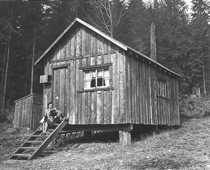
Whytecliff Park is located near West Vancouver's Horseshoe Bay Neighbourhood, the original name of which was White Cliff City, which opened in 1909. In 1914, Colonel Albert Whyte pressed for the spelling change from White Cliff City to Whytecliff. The Whytecliff area is now distinct from Horseshoe Bay. The park, originally Rockcliffe Park, was developed by W.W. Boultbee in 1926, and a private access road was cut from the Marine Drive highway at Batchelor Bay. The fifty acre Boultbee estate was purchased by the Union Steamship Company in 1939 and the company operated a Bowen Island Ferry from Whytecliff during 1939-41 and 1946-1952 Ommundsen, Peter D. (1997). ''Bowen Island Passenger Ferries. The Sannie Transportation Company 1921-1956.'' Cape West Publishing, 64 pp. The park is currently home to more than 200 marine animal species and is the first Marine Protected Area in Canada. Sea lions can be seen sunbathing on the beach during summer. To get there, take Marine Drive west fr ... [...More Info...] [...Related Items...] OR: [Wikipedia] [Google] [Baidu] |
West Vancouver
West Vancouver is a district municipality in the province of British Columbia, Canada. A member municipality of the Metro Vancouver Regional District, West Vancouver is to the northwest of the city of Vancouver on the northern side of English Bay and the southeast shore of Howe Sound, and is adjoined by the District of North Vancouver to its east. Together with the District of North Vancouver and the City of North Vancouver, it is part of a local regional grouping referred to as the North Shore municipalities, or simply "the North Shore". West Vancouver is connected to the downtown city of Vancouver via the Lions Gate Bridge. Originally named First Narrows Bridge, its completion in 1938 allowed the people of the North Shore municipalities to cross of the Burrard Inlet to the city. West Vancouver had a population of 44,122 at the 2021 Canadian census. Cypress Provincial Park, mostly located within the municipal boundaries, was one of the venues for the 2010 Winter Olympics. W ... [...More Info...] [...Related Items...] OR: [Wikipedia] [Google] [Baidu] |
Horseshoe Bay, West Vancouver
Horseshoe Bay (Squamish language, Sḵwx̱wú7mesh: Ch'ax̱áy̓, ) is a community of about 1,000 permanent residents, located in West Vancouver, in the Provinces and territories of Canada, Canadian province of British Columbia. Situated on the western tip of West Vancouver at the entrance to Howe Sound, the village marks the western end of British Columbia Highway 1, Highway 1 on mainland British Columbia (and furthermore the main route of the Trans-Canada Highway on the Canadian mainland). It also serves as the southern end of the Sea-to-Sky Highway, with Lions Bay just 15 minutes north. Horseshoe Bay is the location of the third-busiest BC Ferries terminal, the Horseshoe Bay ferry terminal. Because of the presence of the ferry terminal, it is considered a control city on the British Columbia Highway 1, Upper Levels Highway westbound. Gallery File:Horseshoe Bay, BC.jpg, Boats at Horseshoe Bay. File:Horshbay-mtns.jpg, Boats at Horseshoe Bay, with Howe Sound in the background. ... [...More Info...] [...Related Items...] OR: [Wikipedia] [Google] [Baidu] |
Albert Whyte
Albert may refer to: Companies * Albert (supermarket), a supermarket chain in the Czech Republic * Albert Heijn, a supermarket chain in the Netherlands * Albert Market, a street market in The Gambia * Albert Productions, a record label * Albert Computers, Inc., a computer manufacturer in the 1980s Entertainment * ''Albert'' (1985 film), a Czechoslovak film directed by František Vláčil * ''Albert'' (2015 film), a film by Karsten Kiilerich * ''Albert'' (2016 film), an American TV movie * ''Albert'' (Ed Hall album), 1988 * "Albert" (short story), by Leo Tolstoy * Albert (comics), a character in Marvel Comics * Albert (''Discworld''), a character in Terry Pratchett's ''Discworld'' series * Albert, a character in Dario Argento's 1977 film ''Suspiria'' Military * Battle of Albert (1914), a WWI battle at Albert, Somme, France * Battle of Albert (1916), a WWI battle at Albert, Somme, France * Battle of Albert (1918), a WWI battle at Albert, Somme, France People * Albert (given n ... [...More Info...] [...Related Items...] OR: [Wikipedia] [Google] [Baidu] |
Bowen Island Ferry
The Bowen Island ferry travels between Snug Cove on Bowen Island, and Horseshoe Bay in the District of West Vancouver, British Columbia, Canada, a trip of three nautical miles across Howe Sound. A scheduled ferry has been in operation since 1921, when Bowen Island was a popular holiday destination. Prior to that year, transportation to the island was by steamship from Vancouver, with only one trip daily. The Bowen Island ferry used a fleet of small passenger vessels until 1956, when a single car ferry began passenger service, and that ferry began carrying vehicles in 1958. In 2021 the route carried in excess of 1 million passengers plus 500,000 vehicles. The Bowen Island ferry has no official or common name, and is only known internally as route 8. It is currently run with the use of a single vessel, the ''Queen of Capilano''. History Sannie Transportation Company Initially a passenger-only route, the Bowen Island ferry was begun in 1921 by John Hilton Brown, a British ... [...More Info...] [...Related Items...] OR: [Wikipedia] [Google] [Baidu] |
Marine Protected Area
Marine protected areas (MPA) are protected areas of seas, oceans, estuaries or in the US, the Great Lakes. These marine areas can come in many forms ranging from wildlife refuges to research facilities. MPAs restrict human activity for a conservation purpose, typically to protect natural or cultural resources. Such marine resources are protected by local, state, territorial, native, regional, national, or international authorities and differ substantially among and between nations. This variation includes different limitations on development, fishing practices, fishing seasons and catch limits, moorings and bans on removing or disrupting marine life. In some situations (such as with the Phoenix Islands Protected Area), MPAs also provide revenue for countries, potentially equal to the income that they would have if they were to grant companies permissions to fish. The value of MPA to mobile species is unknown. There are a number of global examples of large marine conservation are ... [...More Info...] [...Related Items...] OR: [Wikipedia] [Google] [Baidu] |
Lions Gate Bridge
The Lions Gate Bridge, opened in 1938 and officially known as the First Narrows Bridge, is a suspension bridge that crosses the first narrows of Burrard Inlet and connects the City of Vancouver, British Columbia, to the North Shore municipalities of the District of North Vancouver, the City of North Vancouver, and West Vancouver. The term "Lions Gate" refers to the Lions, a pair of mountain peaks north of Vancouver. Northbound traffic on the bridge heads in their general direction. A pair of cast concrete lions, designed by sculptor Charles Marega, were placed on either side of the south approach to the bridge in January 1939. The total length of the bridge including the north viaduct is . The length including approach spans is , the main span alone is , the tower height is , and it has a ship's clearance of . Prospect Point in Stanley Park offered a good high south end to the bridge, but the low flat delta land to the north required construction of the extensive North Via ... [...More Info...] [...Related Items...] OR: [Wikipedia] [Google] [Baidu] |
Lighthouse Park
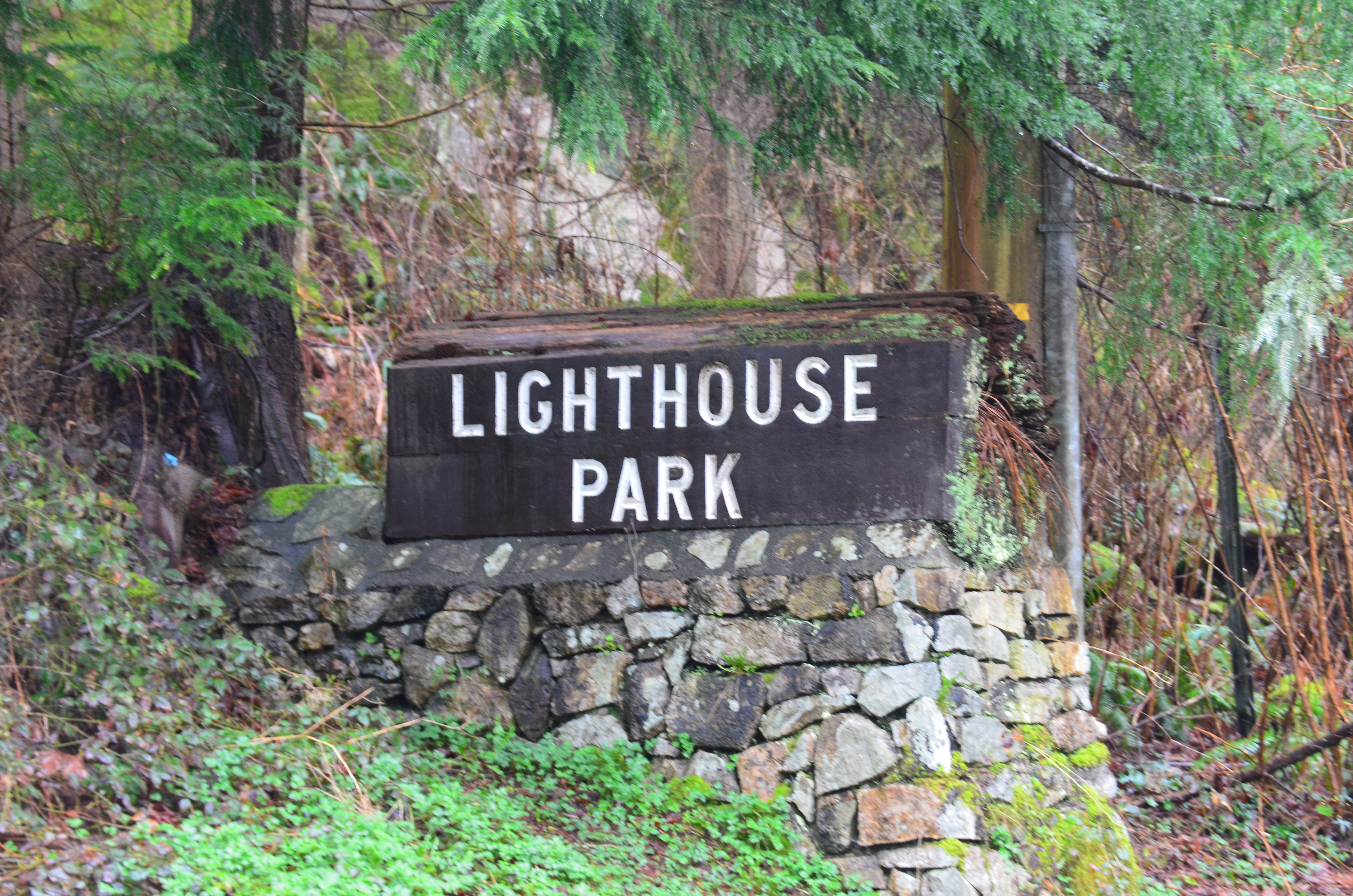
Lighthouse Park is a neighbourhood park located in a residential area in West Vancouver, Canada. It is a popular tourist attraction for visitors to Vancouver as it is a National Historic Sites of Canada, National Historic Site of Canada. It is a well-maintained park, and is open year-round throughout all four seasons. The park is known for the Point Atkinson Lighthouse, located at the southernmost tip of the peninsula. The park is made up of 75 hectares (182 acres) of mostly virgin rainforest, and was founded in 1792. The West Vancouver, District of West Vancouver maintains and operates the park and permits visitors from 7:00 a.m. to 10:00 p.m. Visitors to this park can enjoy the various beginner level hiking trails, as well as bring their dogs for a walk or have lunch along the rocks of the beach near the Lighthouse. There are various picnic benches scattered throughout the trails of the park, yet none near the beach and the lighthouse itself. History Lighthouse Par ... [...More Info...] [...Related Items...] OR: [Wikipedia] [Google] [Baidu] |


.jpg)
