|
West Kootenay Transit System
West Kootenay Transit System (formerly known as Kootenay Boundary Transit System) is the public transit system in Trail, Castlegar, Nelson, British Columbia and surrounding area. The transit services are operated from Trail, Castlegar, Nelson and serve Rossland, Warfield, Genelle, Montrose, Fruitvale, Salmo, Kaslo, Creston, Nakusp. Funding is provided under a partnership between the Regional District of Kootenay Boundary, Regional District of Central Kootenay and BC Transit. handyDART provides door-to-door transportation for people whose disability prevents them from using conventional bus service. West Kootenay Transit System introduced a transit run between the Cities of Trail, Castlegar and Nelson, mainly to serve those travelling to Selkirk College's Castlegar Campus. This run is operational between the months of September and June and can be used for general transportation between the communities of Trail, Castlegar and Nelson. Routes The transit system has three zones ( ... [...More Info...] [...Related Items...] OR: [Wikipedia] [Google] [Baidu] |
Nelson, British Columbia
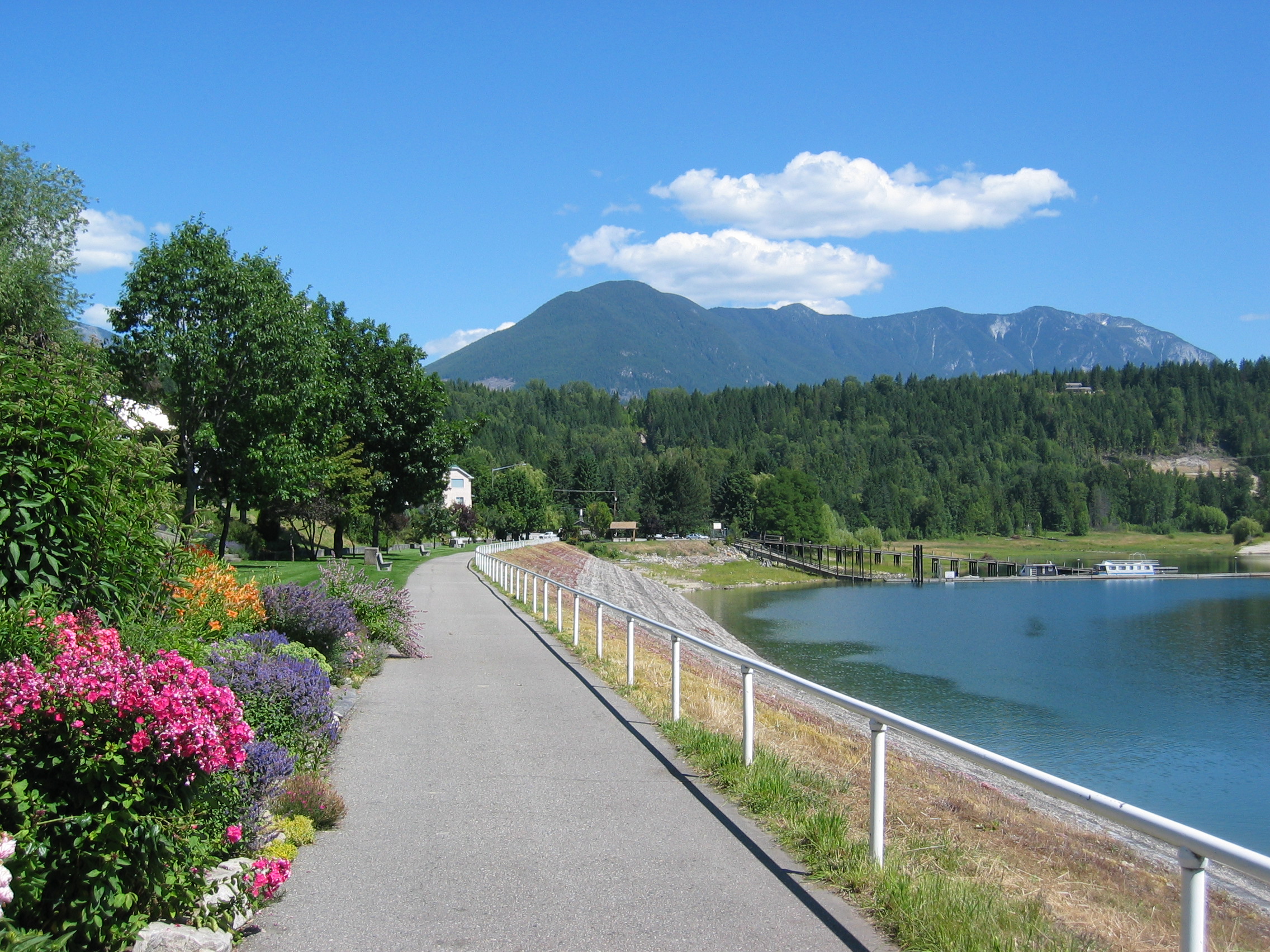
Nelson is a city located in the Selkirk Mountains on the West Arm of Kootenay Lake in the British Columbia Interior, Southern Interior of British Columbia, Canada. Known as "The Queen City", and acknowledged for its impressive collection of restored heritage buildings from its glory days in a regional silver rush, Nelson is one of the three cities forming the commercial and population core of the West Kootenay region, the others being Castlegar, British Columbia, Castlegar and Trail, British Columbia, Trail. The city is the seat of the Regional District of Central Kootenay, British Columbia, Regional District of Central Kootenay. It is represented in the Legislative Assembly of British Columbia, provincial legislature by the riding of Nelson-Creston, and in the Parliament of Canada by the riding of Kootenay—Columbia. History Founding The western Kootenay region of British Columbia, where the city of Nelson is situated, is part of the traditional territories of the Sinixt (or Lak ... [...More Info...] [...Related Items...] OR: [Wikipedia] [Google] [Baidu] |
Salmo, British Columbia
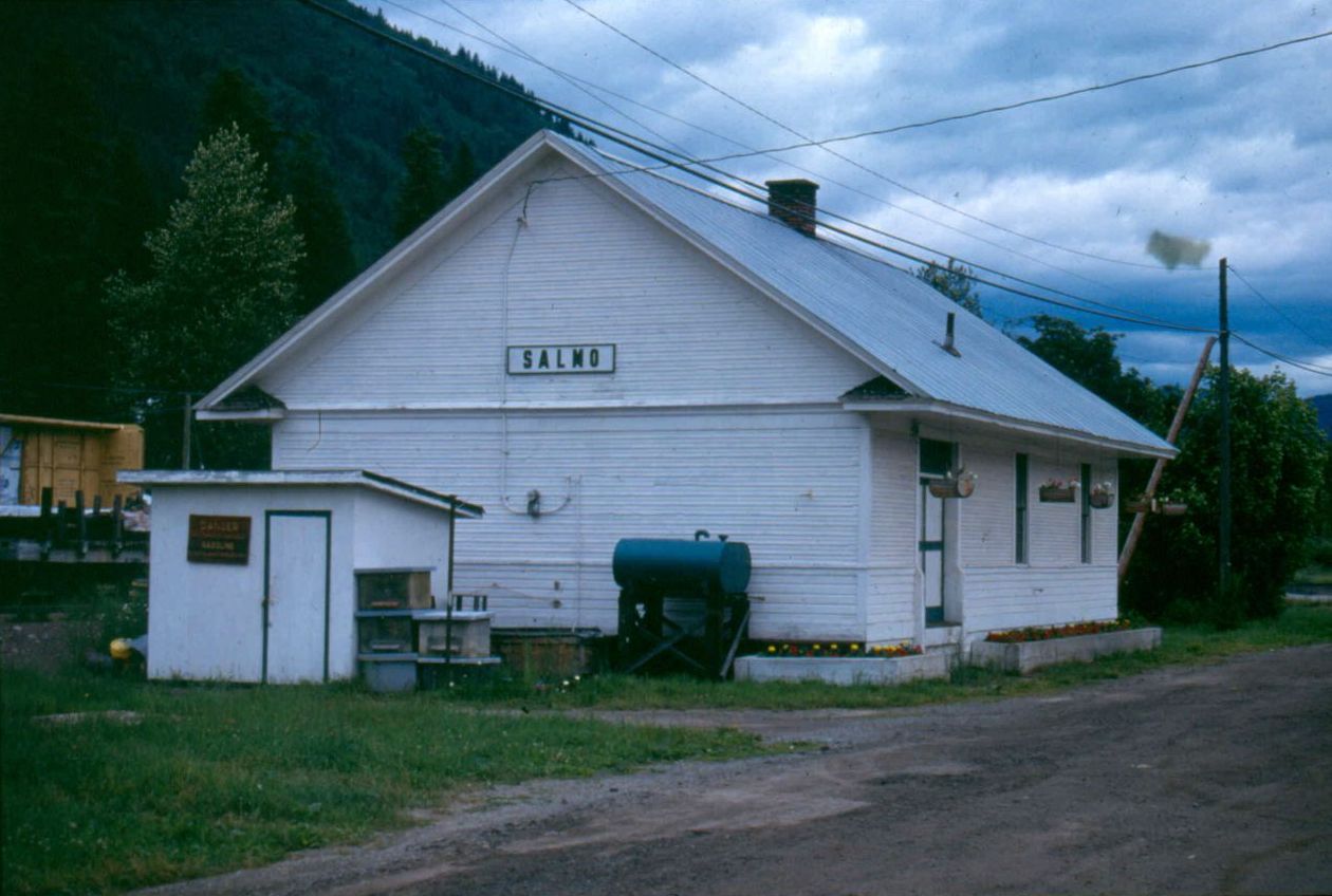
Salmo is in the West Kootenay region of southeastern British Columbia. The village municipality is mostly on the north side of Erie Creek at the confluence with the Salmo River. The place lies largely east of the junction of BC Highway 3 (about southeast of Castlegar), and BC Highway 6 (about south of Nelson, and north of the US border). Name origin Originally, the name was either Laprairie or Salmon City, derived from the initial name of the river that dated from around 1860. Prior to the downstream damming of the Columbia River from the 1930s, salmon frequented this tributary. In 1893, the settlement name became Salmon or Salmon Siding. At that time, Erie Creek was called the North Fork of the river. In 1896, the community name changed to Salmo, and the river soon followed suit. It is unclear whether the town or postal authorities sought a less common name, which happens to be Latin for salmon, and also the scientific name for the family of fish to which salmon and trout ... [...More Info...] [...Related Items...] OR: [Wikipedia] [Google] [Baidu] |
Public Transport In Canada
In the month of November 2015 ridership of Canadian large urban transit was 142.7 million passenger trips. The following is a list of public transit authorities in Canada Canada is a country in North America. Its ten provinces and three territories extend from the Atlantic Ocean to the Pacific Ocean and northward into the Arctic Ocean, covering over , making it the world's second-largest country by tot .... References External links Ontario, Ministry of Transportation, Public Transit Systems in Ontario [...More Info...] [...Related Items...] OR: [Wikipedia] [Google] [Baidu] |
Selkirk College
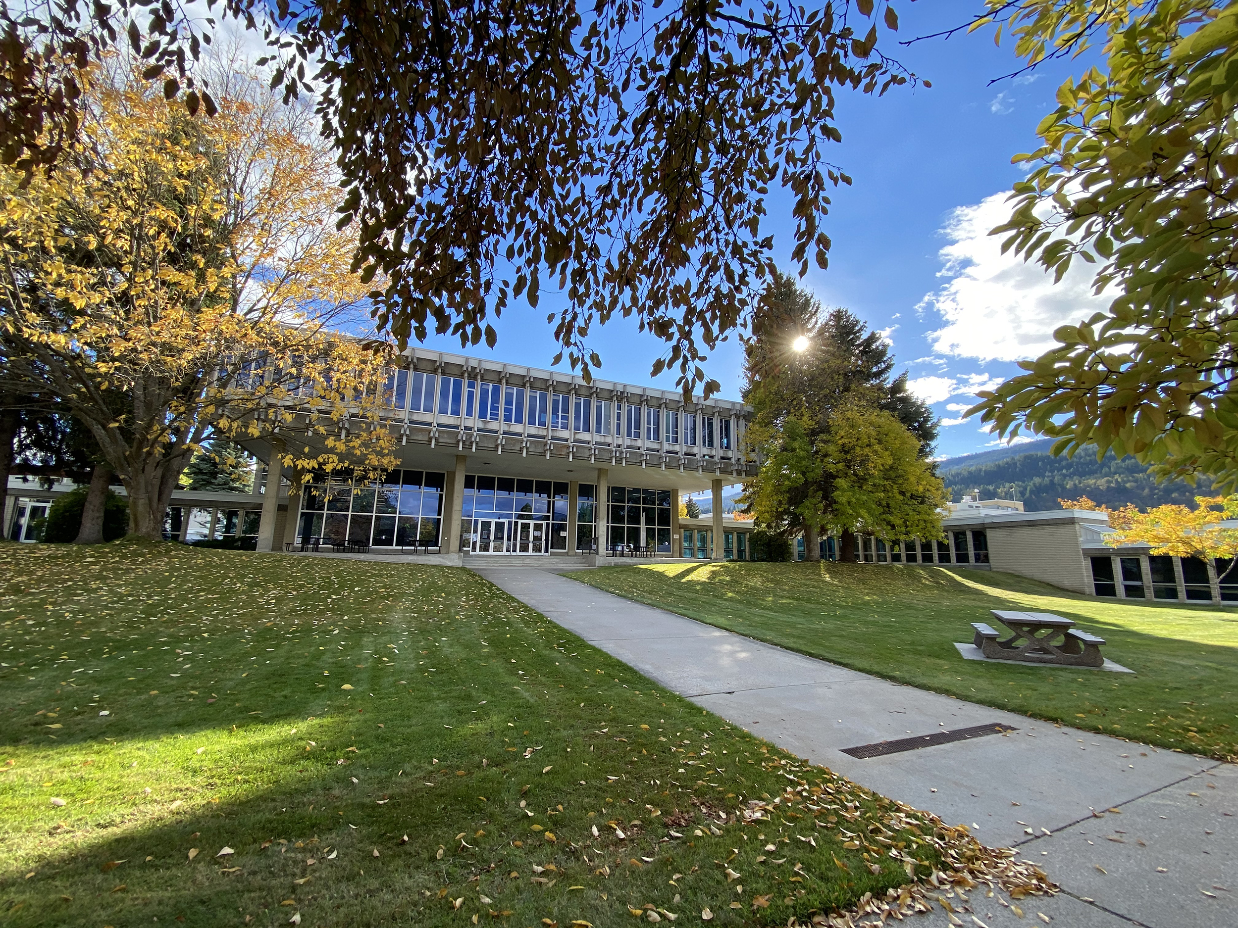
Campuses Selkirk College has eight campuses and learning centres across the West Kootenay and Kootenay Boundary Regional District, Kootenay Boundary regions: * Castlegar Campus * Grand Forks Campus * Kaslo Learning Centre * Nakusp Learning Centre * Silver King Campus * Tenth Street Campus * Trail Campus * Victoria Street Campus Programs Selkirk currently has 2,239 students in eight locations and offers a variety of academic, career, vocational and technical programs. Programs are offered part-time, full-time and online through the following schools of study: * School of the Arts * School of Academic Upgrading & Development* School of Business * School of Environment & Geomatics * School of Health & Human Services * School of Hospitality & Tourism * School of Industry & Trades Training * Selkirk International * School of University Arts & Sciences Student life Local arts, culture and heritage Students of Selkirk College have access to a variety of local arts, culture and ... [...More Info...] [...Related Items...] OR: [Wikipedia] [Google] [Baidu] |
HandyDART
HandyDART is an accessible transit service in British Columbia that uses vans or small buses to transport disabled or elderly passengers who cannot use the normal transit system. This service provides door-to-door service and is available in all of the province's larger centres, as well as in many smaller communities. BC Transit BC Transit operates 16 Custom Transit (handyDART) Systems * Alberni-Clayoquot * Campbell River * Central Fraser Valley * Chilliwack * Cranbrook * Kamloops * Kelowna Regional * Kitimat * Kootenay Boundary * Nanaimo Regional * Penticton * Prince George * Prince Rupert * Vernon Regional * Victoria Regional * West Kootenay Metro Vancouver In Metro Vancouver the current contractor for HandyDART service is First Canada. Roster * Ford Cut-Away Vans - modified mini buses (Ford Transit chassis) * Chevrolet and GMC Cut-Away Vans - modified mini buses (Chevrolet Express/GMC Savana chassis) Accessibility is also linked with other modes of transit on TransL ... [...More Info...] [...Related Items...] OR: [Wikipedia] [Google] [Baidu] |
Regional District Of Central Kootenay
The Regional District of Central Kootenay (RDCK) is a regional district in the province of British Columbia, Canada. As of the 2016 census, the population was 59,517. The area is 22,130.72 square kilometres. The administrative centre is located in the city of Nelson. Other municipalities include the City of Castlegar, the Town of Creston, the Village of Salmo, the Village of Nakusp, the Village of Kaslo, the Village of New Denver, the Village of Silverton, the Village of Ymir and the Village of Slocan (known locally as Slocan City to distinguish it from the appellation "the Slocan" for the entire Slocan Valley). Demographics As a census division in the 2021 Census of Population conducted by Statistics Canada Statistics Canada (StatCan; french: Statistique Canada), formed in 1971, is the agency of the Government of Canada commissioned with producing statistics to help better understand Canada, its population, resources, economy, society, and cultur ..., the Regiona ... [...More Info...] [...Related Items...] OR: [Wikipedia] [Google] [Baidu] |
Regional District Of Kootenay Boundary
The Regional District of Kootenay Boundary (RDKB) is one of 28 regional districts in the province of British Columbia, Canada. As of the 2016 Canadian census, the population was 31,447. The area is 8,095.62 km2 (3,125.74 sq mi). The RDKB was incorporated in 1966 and consists of eight incorporated municipalities and five unincorporated electoral areas. The regional district's offices are in the City of Trail, with secondary offices in the City of Grand Forks. Other major population centres include the cities of Rossland and Greenwood, and the villages of Fruitvale, Warfield, and Montrose. The region also encompasses electoral areas A (east of Fruitvale extending just past Champion Lakes and south to Waneta and the Pend d'Oreille River), B/Lower Columbia-Old Glory, C/Christina Lake, D/Rural Grand Forks and E/West Boundary including Rock Creek, Bridesville, Beaverdell and Big White Ski Resort. Local government services provided by the RDKB to residents in the region includ ... [...More Info...] [...Related Items...] OR: [Wikipedia] [Google] [Baidu] |
Nakusp, British Columbia
The Village of Nakusp (Sinixt ''neqo'sp'') is beside the mouth of Kuskanax Creek, on the Upper Arrow Lake in the West Kootenay region of southeastern British Columbia. Lying between the Selkirk and Monashee ranges, the village is known for its nearby hot springs and picturesque mountain lakeside setting. First Nations peoples and European explorers The Secwepemc, Sinixt and Ktunaxa peoples occupied the region for thousands of years. In 1811, Finan McDonald, a member of David Thompson's party, was the first reported European explorer on the Arrow Lakes. The settlement name came from the Nakusp Creek to the south. As to the word meaning, suggestions have included an eddy, safe place (sheltered bay), a coming together (of the lake, which narrowed at this point prior to the dam), a private body part, and having buffalo, despite no evidence buffalo ever roamed the area. Demographics In the 2021 Census of Population conducted by Statistics Canada, Nakusp had a population of ... [...More Info...] [...Related Items...] OR: [Wikipedia] [Google] [Baidu] |
Creston, British Columbia
Creston is a town in the Kootenay region of southeastern British Columbia, Canada. By road, Creston is roughly equidistant between Cranbrook ( to the east) and Castlegar ( to the west) along the Crowsnest Highway. The town is approximately north of the Porthill-Rykerts Border Crossing on the Canada–US border. Time zone and Kootenay descriptive Settlements on the east shore of Kootenay Lake and along BC Highway 3 from Creston to Yahk are among the few areas of Canada that do not observe daylight saving time, remaining on Mountain Standard Time year-round. Forming a natural boundary, the lake and the Kootenay Pass on the Salmo–Creston highway divide the Pacific Time Zone from the mountain one. When daylight saving ends, the time change migrates from Yahk to the Kootenay Bay ferry landing. Consequently, Creston in the warmer months is on Castlegar time and in the colder months on Cranbrook time. East Kootenay The 1860 survey defined the Purcell Mountains as the east–we ... [...More Info...] [...Related Items...] OR: [Wikipedia] [Google] [Baidu] |
Kaslo, British Columbia
Kaslo is a village on the west shore of Kootenay Lake in the West Kootenay region of southeastern British Columbia. A member municipality of the Central Kootenay Regional District, the name derives from the adjacent Kaslo River. At 2016, the population was 968, and the idyllic village is regarded at the "Little Switzerland of Canada." Thousands of years before the arrival of European settlers on Kootenay Lake, indigenous nations made this country their home. Two nations, the Kutenai (Ktunaxa) and Lakes (Sinixt) lived a semi-nomadic existence, using their intimate knowledge of the land to follow its seasonal cycles for root harvesting, berry picking, fishing and hunting. Settlers came and used it as a sawmill site in 1889, but soon after Kaslo expanded as a result of the silver boom of the late 19th century. It retains much of the historic atmosphere from its earlier mining days. The economy is based mainly on the forestry and tourism industries, but with one of Canada's fi ... [...More Info...] [...Related Items...] OR: [Wikipedia] [Google] [Baidu] |
Fruitvale, British Columbia
Fruitvale is a village in the West Kootenay region of southeastern British Columbia. It is east of the city of Trail along Highway 3B. Early community One of eight original stations on the Nelson and Fort Sheppard Railway opened in 1893, the location was named Beaver Siding. The name Fruitvale appeared in 1907, promoting a new subdivision. Despite the climate being unsuitable for fruit growing, the settlement prospered and was incorporated as a village in 1952. Geography The village of Fruitvale lies in the Beaver Valley, which is made up of Fruitvale, Beaver Falls, and Montrose. Demographics In the 2021 Census of Population conducted by Statistics Canada, Fruitvale had a population of 1,958 living in 858 of its 881 total private dwellings, a change of from its 2016 population of 1,920. With a land area of , it had a population density of in 2021. Schools Fruitvale Elementary School serves students from kindergarten to grade 7. High school students are bussed to J. ... [...More Info...] [...Related Items...] OR: [Wikipedia] [Google] [Baidu] |
Trail, British Columbia
Trail is a city in the West Kootenay region of the Interior of British Columbia, Canada. It was named after the Dewdney Trail, which passed through the area. The town was first called Trail Creek or Trail Creek Landing, and the name was shortened to Trail in 1897. Geography Trail has an area of . The city is located on both banks of the Columbia River, approximately north of the United States border. This section of the Columbia River valley is located between the Monashee Mountains to the west and the Selkirk Mountains to the east. The Columbia flows directly north-south from Castlegar, turns east near downtown Trail, and then meets the Canada–United States border at Waneta and the Pend d'Oreille River. Summer climate in Trail is generally hot and dry with moderately cool nights. Temperatures often exceed during summer afternoons, average . Thunderstorms are common during the late-Spring and Summer season, often moving into the valley from the south. The fall months brin ... [...More Info...] [...Related Items...] OR: [Wikipedia] [Google] [Baidu] |


