|
Waverly, Indiana
Waverly is an unincorporated community and census-designated place (CDP) in Harrison Township, Morgan County, in the U.S. state of Indiana. History Waverly had its start about 1837 by the building of the canal through that territory. At one time, Waverly was one of two sites in the running to become Indiana's state capital. A post office was established at Waverly in 1862, and remained in operation until it was discontinued in 1927. Located alongside the White River, the Waverly community has suffered severe flooding, most recently in 2008. Much of the area was then purchased by Morgan County for recreational purposes. Old Town Waverly Park is now open on the original site of the village of Waverly. The Waverly Bank building has been retained and restored to act as a museum of sorts, and a traditional arts area is available for demonstrations of blacksmithing, tinsmithing and other traditional arts. A paved, two mile riverwalk trail for pedestrian and bicycle use follows the riv ... [...More Info...] [...Related Items...] OR: [Wikipedia] [Google] [Baidu] |
Census-designated Place
A census-designated place (CDP) is a concentration of population defined by the United States Census Bureau for statistical purposes only. CDPs have been used in each decennial census since 1980 as the counterparts of incorporated places, such as self-governing cities, towns, and villages, for the purposes of gathering and correlating statistical data. CDPs are populated areas that generally include one officially designated but currently unincorporated community, for which the CDP is named, plus surrounding inhabited countryside of varying dimensions and, occasionally, other, smaller unincorporated communities as well. CDPs include small rural communities, edge cities, colonias located along the Mexico–United States border, and unincorporated resort and retirement communities and their environs. The boundaries of any CDP may change from decade to decade, and the Census Bureau may de-establish a CDP after a period of study, then re-establish it some decades later. Most unin ... [...More Info...] [...Related Items...] OR: [Wikipedia] [Google] [Baidu] |
Geographic Names Information System
The Geographic Names Information System (GNIS) is a database of name and locative information about more than two million physical and cultural features throughout the United States and its territories, Antarctica, and the associated states of the Marshall Islands, Federated States of Micronesia, and Palau. It is a type of gazetteer. It was developed by the United States Geological Survey (USGS) in cooperation with the United States Board on Geographic Names (BGN) to promote the standardization of feature names. Data were collected in two phases. Although a third phase was considered, which would have handled name changes where local usages differed from maps, it was never begun. The database is part of a system that includes topographic map names and bibliographic references. The names of books and historic maps that confirm the feature or place name are cited. Variant names, alternatives to official federal names for a feature, are also recorded. Each feature receives a per ... [...More Info...] [...Related Items...] OR: [Wikipedia] [Google] [Baidu] |
Unincorporated Communities In Morgan County, Indiana
Unincorporated may refer to: * Unincorporated area, land not governed by a local municipality * Unincorporated entity, a type of organization * Unincorporated territories of the United States, territories under U.S. jurisdiction, to which Congress has determined that only select parts of the U.S. Constitution apply * Unincorporated association Unincorporated associations are one vehicle for people to cooperate towards a common goal. The range of possible unincorporated associations is nearly limitless, but typical examples are: :* An amateur football team who agree to hire a pitch onc ..., also known as voluntary association, groups organized to accomplish a purpose * ''Unincorporated'' (album), a 2001 album by Earl Harvin Trio {{disambig ... [...More Info...] [...Related Items...] OR: [Wikipedia] [Google] [Baidu] |
Indianapolis
Indianapolis (), colloquially known as Indy, is the state capital and most populous city of the U.S. state of Indiana and the seat of Marion County. According to the U.S. Census Bureau, the consolidated population of Indianapolis and Marion County was 977,203 in 2020. The "balance" population, which excludes semi-autonomous municipalities in Marion County, was 887,642. It is the 15th most populous city in the U.S., the third-most populous city in the Midwest, after Chicago and Columbus, Ohio, and the fourth-most populous state capital after Phoenix, Arizona, Austin, Texas, and Columbus. The Indianapolis metropolitan area is the 33rd most populous metropolitan statistical area in the U.S., with 2,111,040 residents. Its combined statistical area ranks 28th, with a population of 2,431,361. Indianapolis covers , making it the 18th largest city by land area in the U.S. Indigenous peoples inhabited the area dating to as early as 10,000 BC. In 1818, the Lenape relinquished their ... [...More Info...] [...Related Items...] OR: [Wikipedia] [Google] [Baidu] |
County Seat
A county seat is an administrative center, seat of government, or capital city of a county or civil parish. The term is in use in Canada, China, Hungary, Romania, Taiwan, and the United States. The equivalent term shire town is used in the US state of Vermont and in some other English-speaking jurisdictions. County towns have a similar function in the Republic of Ireland and the United Kingdom, as well as historically in Jamaica. Function In most of the United States, counties are the political subdivisions of a state. The city, town, or populated place that houses county government is known as the seat of its respective county. Generally, the county legislature, county courthouse, sheriff's department headquarters, hall of records, jail and correctional facility are located in the county seat, though some functions (such as highway maintenance, which usually requires a large garage for vehicles, along with asphalt and salt storage facilities) may also be located or conducted ... [...More Info...] [...Related Items...] OR: [Wikipedia] [Google] [Baidu] |
Interstate 69
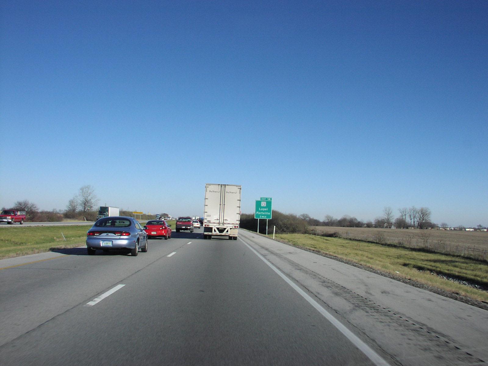
Interstate 69 (I-69) is an Interstate Highway in the United States currently consisting of 10 unconnected segments with an original continuous segment from Indianapolis, Indiana, northeast to the Canadian border in Port Huron, Michigan, at . The remaining separated segments are variously completed and posted or not posted sections of an extension southwest to the Mexican border in Texas. Of this extension—nicknamed the NAFTA Superhighway because it would help trade with Canada and Mexico spurred by the North American Free Trade Agreement (NAFTA)—five pieces near Corpus Christi, Texas; Houston, Texas; northwestern Mississippi; Memphis, Tennessee; and Evansville, Indiana, have been built or upgraded and signposted as I-69. A sixth segment of I-69 through Kentucky utilizing that state's existing parkway system and a section of I-24 was established by federal legislation in 2008, but only a portion is signposted. This brings the total length to about . The proposed extensio ... [...More Info...] [...Related Items...] OR: [Wikipedia] [Google] [Baidu] |
Johnson County, Indiana
Johnson County is a county located in the U.S. state of Indiana. As of 2020, the population was 161,765. The county seat is Franklin. Johnson County is included in the Indianapolis-Carmel-Anderson, IN Metropolitan Statistical Area. Transportation Major highways * Interstate 65 * U.S. Route 31 * State Road 37 * State Road 44 * State Road 135 * State Road 144 * State Road 252 Airport * KHFY - Greenwood Municipal Airport * 3FK - Franklin Flying Field Geography According to the 2010 census, the county has a total area of , of which (or 99.58%) is land and (or 0.42%) is water. Adjacent counties * Marion County (north) * Shelby County (east) * Bartholomew County (southeast) * Brown County (southwest) * Morgan County (west) History Johnson County was formed in 1823. It was named for John Johnson, a Justice of the Indiana Supreme Court. This is probably John Johnson of Knox County, delegate to the State constitutional convention, appointed to the Supreme ... [...More Info...] [...Related Items...] OR: [Wikipedia] [Google] [Baidu] |
Bargersville, Indiana
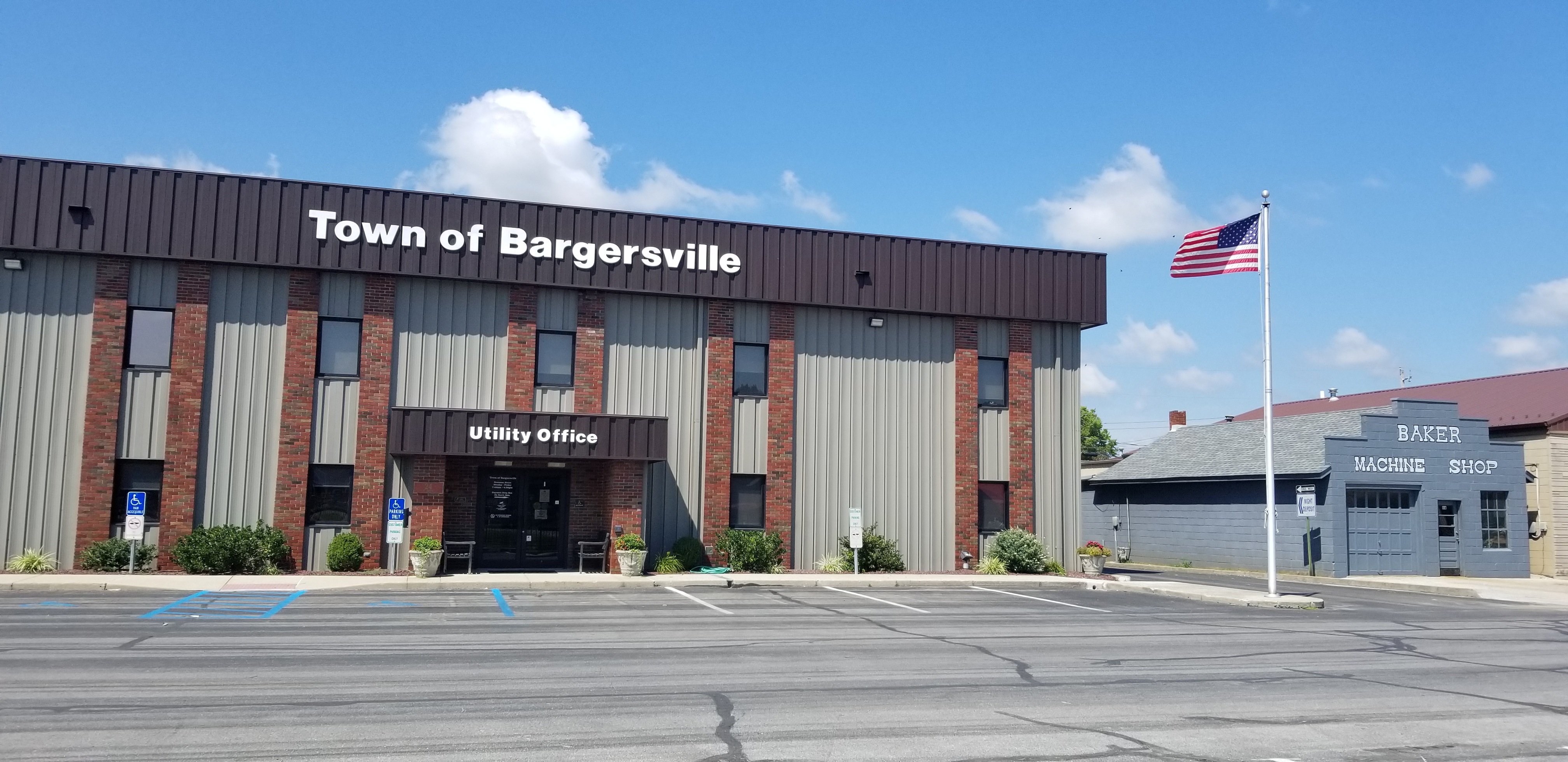
Bargersville is a town in White River and Union townships, Johnson County, Indiana, United States. The population was 9,560 at the 2020 census. History Bargersville was established in 1906 when the railroad was extended to that point. It took its name from Old Bargersville, Indiana. Geography Bargersville is located at (39.519928, -86.165570). According to the 2010 census, Bargersville has a total area of , all land. Demographics 2010 census As of the 2010 census, there were 4,013 people, 1,492 households, and 1,055 families living in the town. The population density was . There were 1,692 housing units at an average density of . The racial makeup of the town was 95.6% White, 1.1% African American, 0.3% Native American, 1.0% Asian, 0.4% from other races, and 1.6% from two or more races. Hispanic or Latino of any race were 2.1% of the population. There were 1,492 households, of which 41.0% had children under the age of 18 living with them, 56.0% were married couples livi ... [...More Info...] [...Related Items...] OR: [Wikipedia] [Google] [Baidu] |
White River (Indiana)
The White River is an American two-forked river that flows through central and southern Indiana and is the main tributary to the Wabash River. Via the west fork, considered to be the main stem of the river by the U.S. Board on Geographic Names, the White River is long.U.S. Geological Survey. National Hydrography Dataset high-resolution flowline dataThe National Map accessed May 19, 2011 Indiana's capital, Indianapolis, is located on the river. The two forks meet just north of Petersburg and empty into the Wabash River at Mount Carmel, Illinois. West Fork The West Fork, long, is the main fork of the river. Federal maps refer to it simply as the White River, per a 1950 Board on Geographic Names decision. It starts south of Winchester in Randolph County at 40° 04' 46" N, 84° 55' 58" W in Washington Township. The river winds through Muncie, Anderson, Noblesville, and Indianapolis before being joined by the east fork in the triad of Daviess, Knox, and Pike counties. Alon ... [...More Info...] [...Related Items...] OR: [Wikipedia] [Google] [Baidu] |
Census-designated Place
A census-designated place (CDP) is a concentration of population defined by the United States Census Bureau for statistical purposes only. CDPs have been used in each decennial census since 1980 as the counterparts of incorporated places, such as self-governing cities, towns, and villages, for the purposes of gathering and correlating statistical data. CDPs are populated areas that generally include one officially designated but currently unincorporated community, for which the CDP is named, plus surrounding inhabited countryside of varying dimensions and, occasionally, other, smaller unincorporated communities as well. CDPs include small rural communities, edge cities, colonias located along the Mexico–United States border, and unincorporated resort and retirement communities and their environs. The boundaries of any CDP may change from decade to decade, and the Census Bureau may de-establish a CDP after a period of study, then re-establish it some decades later. Most unin ... [...More Info...] [...Related Items...] OR: [Wikipedia] [Google] [Baidu] |


