|
Washington State Route 403
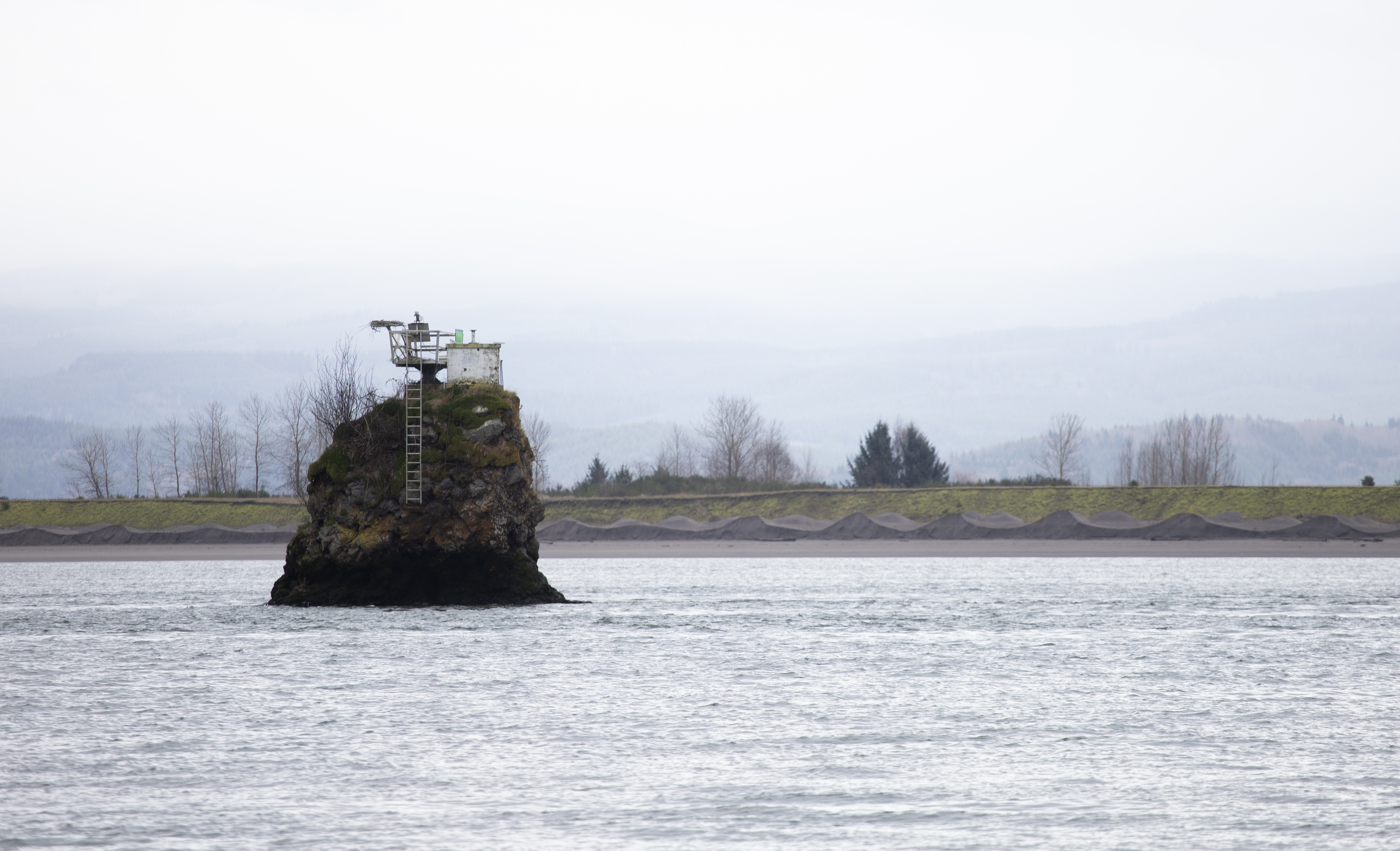
State Route 403 (SR 403, now known as the Altoona–Pillar Rock Road) was a state highway in Wahkiakum County, in the U.S. state of Washington. It extended from Pillar Rock northwest to SR 4 in Rosburg. The route served as a connector to Pillar Rock. The highway was Secondary State Highway 12C (SSH 12C) from 1943 until 1964, which ran from Pillar Rock to Rosburg. In 1991, SR 403 was removed from the state highway system. Route description SR 403 ran from Pillar Rock northwest to SR 4 in Rosburg. The route served as a connector to Pillar Rock. The road started at Pillar Rock, a natural rock formation along the Columbia River. SR 403 went west and passed the communities of Brookefield and Altoona while paralleling the Columbia River's shoreline. The highway then went northwest and then curved westward before reverting to a more northern route to Rosburg. In Rosburg, SR 403 ended at an intersection with SR 4. History When ... [...More Info...] [...Related Items...] OR: [Wikipedia] [Google] [Baidu] |
Pillar Rock (Washington)
Pillar Rock is a pillar-like monolith in the Columbia River, near its mouth in the state of Washington (state), Washington. Originally rising 75-100 feet, it was TNT, dynamited and reduced in height to about 25 feet above the water to serve as a navigational aid and light. The Lewis and Clark Expedition camped twice near the rock, on November 7 and November 25, 1805. The name "Pillar Rock" also refers to a small village on the river's north shore, opposite the rock. As recently as 1851, the village was home to a small group of the Kathlamet band of Chinookan peoples, Chinook Indians under the headship of a man named Tolillicum. References Landforms of Wahkiakum County, Washington Populated places in Wahkiakum County, Washington {{WahkiakumCountyWA-geo-stub ... [...More Info...] [...Related Items...] OR: [Wikipedia] [Google] [Baidu] |
