|
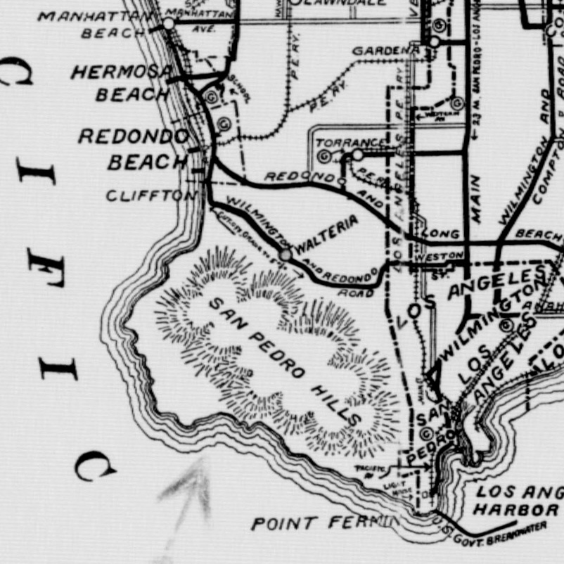
Walteria, California
Walteria is a neighborhood in south Torrance, California, Torrance in southern California, United States. It is bounded by Hawthorne Boulevard on the east, California State Route 1, Pacific Coast Highway on the south, Lomita Boulevard to the north, and Calle Mayor to the west. The local zip code is 90505. History 19th century The area that came to be known as Walteria was once part of Rancho Palos Verdes. According to ''Historic Spots in California'', a location just southeast of Walteria was likely the location of the José Dolores Sepúlveda Adobe, built in approximately 1818: "The exact site is unknown, but the general area is indicated by old pepper trees at the mouth of the canyon into which Madison Street runs." On July 21, 1874, a man named Ben S. Weston bought acres of the old rancho for $5,250. Weston's land included what is now Zamperini Field, Torrance Airport and was "bordered by what is now Madison on the west, Sepulveda Boulevard to the north, the Lomita line ... [...More Info...] [...Related Items...] OR: [Wikipedia] [Google] [Baidu] |
Walteria California On 1904 Map Of Los Angeles County
Walteria may refer to: * Walteria, California, a region of the city of Torrance in southern California * Walteria (sponge), ''Walteria'' (sponge), a genus of animals in the family Euplectellidae * A name used for a species now belonging in the genus ''Glanosuchus'' {{disambiguation ... [...More Info...] [...Related Items...] OR: [Wikipedia] [Google] [Baidu] |
