|
WNKI578
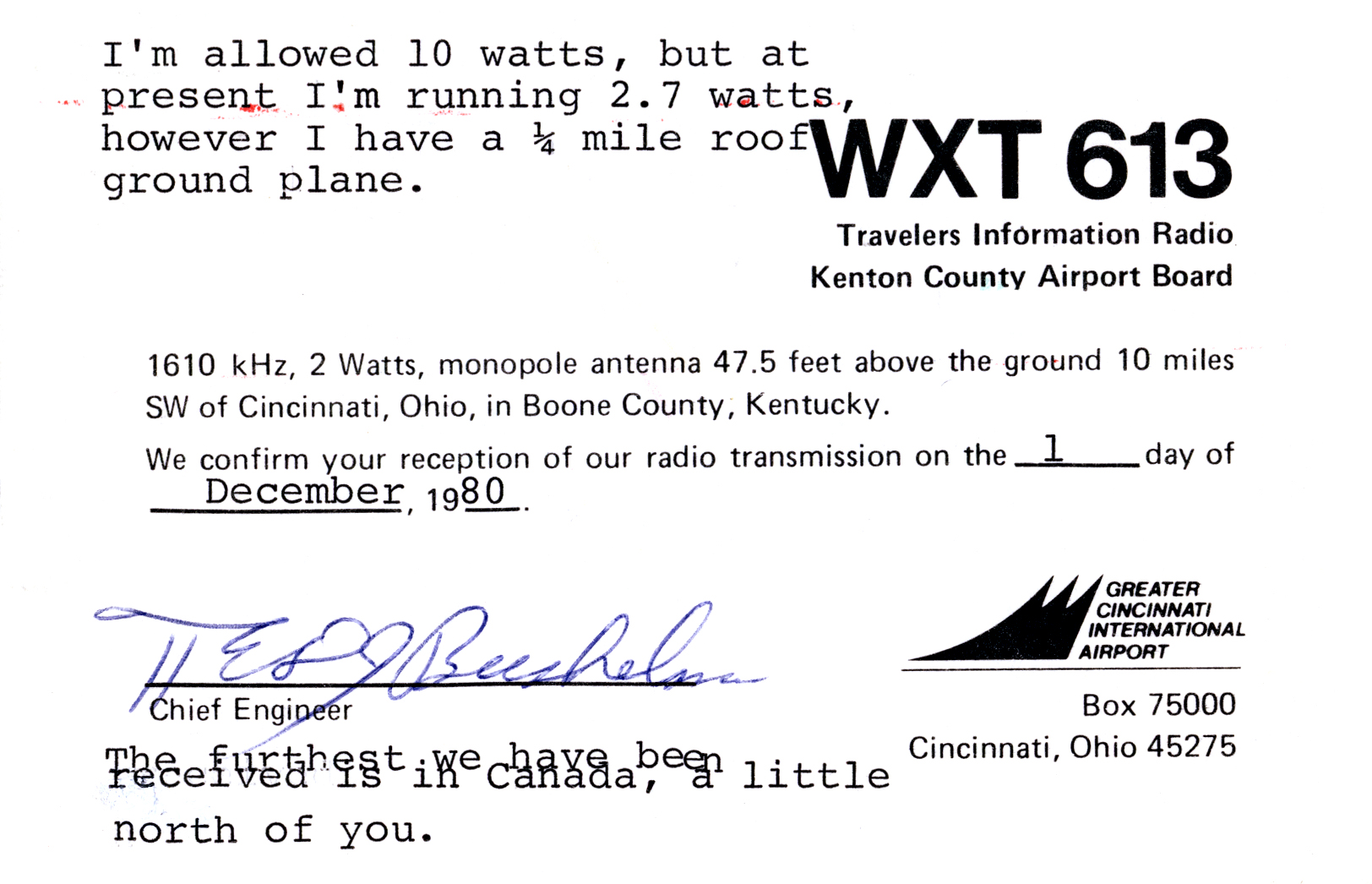
WNKI578 (1610 AM) is a travelers' information station licensed to the Idyllwild Fire Protection District and located in Idyllwild, California, United States. It is licensed by the Federal Communications Commission to transmit with a power of 10 watts. The station is operated in conjunction with the Mile High Radio Club of Idyllwild. The main purpose of WNKI578 is to broadcast current emergency information, including road conditions, weather updates, and evacuation orders, for the communities of Idyllwild, Fern Valley, Pine Cove, and parts of Mountain Center. History WNKI-578 was established by the Emergency Radio Committee and Coordinated Resources Management and Planning Group in 1978 in order to provide an emergency broadcast station serving local mountain communities of the San Jacinto Mountains. The operating organization, the Mile High Radio Club, was formed around the same time and uses volunteers to maintain operations. In 2014, the club signed an agreement with t ... [...More Info...] [...Related Items...] OR: [Wikipedia] [Google] [Baidu] |
Idyllwild Fire Protection District
The Idyllwild Fire Protection District (IFPD) provides firefighting, rescue, emergency medical services, and ambulance transport services for the unincorporated communities of Idyllwild and Fern Valley, in Southern California. History The Idyllwild Fire Protection District began out of an all-volunteer fire department and was established in 1946. The district was established when community members reported being ignored by the fire departments who did not want to travel the long distance up the mountain, so voters took their security and protection into their own hands. It remained fully volunteer-run until 1960 when a switch was made to paid-call staff to provide 24-hour fire service. The Idyllwild Fire Protection District began providing paramedic service in 1979. Organization Board of Commissioners A five-member board of commissioners, made up by elected residents, oversees the Idyllwild Fire Protection District. The board includes President Ralph Hoetger, Vice Presi ... [...More Info...] [...Related Items...] OR: [Wikipedia] [Google] [Baidu] |
Travelers' Information Station
A travelers' information station (TIS), also called highway advisory radio (HAR) by the United States Department of Transportation, is a licensed low-powered non-commercial radio station, used to broadcast information to the general public, including for motorists regarding travel, destinations of interest, and situations of imminent danger and emergencies. They are commonly operated by transportation departments, national and local parks departments and historic sites, airport authorities, local governments, federal agencies, colleges and universities, hospitals and health agencies, and for special events and destinations. United States Current regulations and applications In the United States, most Travelers Information Stations (TIS) are licensed by the Federal Communications Commission (FCC), although stations operated by U.S. national parks and others under U.S. federal government jurisdiction are licensed by the National Telecommunications and Information Administration ( ... [...More Info...] [...Related Items...] OR: [Wikipedia] [Google] [Baidu] |
Kilohertz
The hertz (symbol: Hz) is the unit of frequency in the International System of Units (SI), equivalent to one event (or cycle) per second. The hertz is an SI derived unit whose expression in terms of SI base units is s−1, meaning that one hertz is the reciprocal of one second. It is named after Heinrich Rudolf Hertz (1857–1894), the first person to provide conclusive proof of the existence of electromagnetic waves. Hertz are commonly expressed in multiples: kilohertz (kHz), megahertz (MHz), gigahertz (GHz), terahertz (THz). Some of the unit's most common uses are in the description of periodic waveforms and musical tones, particularly those used in radio- and audio-related applications. It is also used to describe the clock speeds at which computers and other electronics are driven. The units are sometimes also used as a representation of the energy of a photon, via the Planck relation ''E'' = ''hν'', where ''E'' is the photon's energy, ''ν'' is its frequen ... [...More Info...] [...Related Items...] OR: [Wikipedia] [Google] [Baidu] |
AM Broadcasting
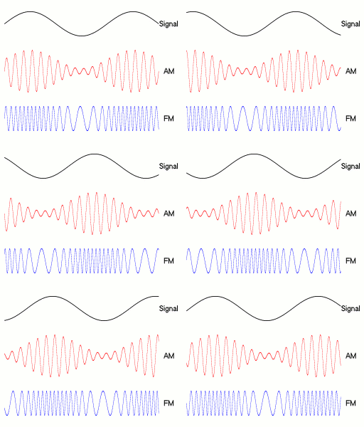
AM broadcasting is radio broadcasting using amplitude modulation (AM) transmissions. It was the first method developed for making audio radio transmissions, and is still used worldwide, primarily for medium wave (also known as "AM band") transmissions, but also on the longwave and shortwave radio bands. The earliest experimental AM transmissions began in the early 1900s. However, widespread AM broadcasting was not established until the 1920s, following the development of vacuum tube receivers and transmitters. AM radio remained the dominant method of broadcasting for the next 30 years, a period called the "Golden Age of Radio", until television broadcasting became widespread in the 1950s and received most of the programming previously carried by radio. Subsequently, AM radio's audiences have also greatly shrunk due to competition from FM (FM broadcasting, frequency modulation) radio, Digital audio broadcasting, Digital Audio Broadcasting (DAB), satellite radio, HD Radio, HD (digi ... [...More Info...] [...Related Items...] OR: [Wikipedia] [Google] [Baidu] |
California
California is a U.S. state, state in the Western United States, located along the West Coast of the United States, Pacific Coast. With nearly 39.2million residents across a total area of approximately , it is the List of states and territories of the United States by population, most populous U.S. state and the List of U.S. states and territories by area, 3rd largest by area. It is also the most populated Administrative division, subnational entity in North America and the 34th most populous in the world. The Greater Los Angeles area and the San Francisco Bay Area are the nation's second and fifth most populous Statistical area (United States), urban regions respectively, with the former having more than 18.7million residents and the latter having over 9.6million. Sacramento, California, Sacramento is the state's capital, while Los Angeles is the List of largest California cities by population, most populous city in the state and the List of United States cities by population, ... [...More Info...] [...Related Items...] OR: [Wikipedia] [Google] [Baidu] |
United States
The United States of America (U.S.A. or USA), commonly known as the United States (U.S. or US) or America, is a country primarily located in North America. It consists of 50 states, a federal district, five major unincorporated territories, nine Minor Outlying Islands, and 326 Indian reservations. The United States is also in free association with three Pacific Island sovereign states: the Federated States of Micronesia, the Marshall Islands, and the Republic of Palau. It is the world's third-largest country by both land and total area. It shares land borders with Canada to its north and with Mexico to its south and has maritime borders with the Bahamas, Cuba, Russia, and other nations. With a population of over 333 million, it is the most populous country in the Americas and the third most populous in the world. The national capital of the United States is Washington, D.C. and its most populous city and principal financial center is New York City. Paleo-Americ ... [...More Info...] [...Related Items...] OR: [Wikipedia] [Google] [Baidu] |
Federal Communications Commission
The Federal Communications Commission (FCC) is an independent agency of the United States federal government that regulates communications by radio, television, wire, satellite, and cable across the United States. The FCC maintains jurisdiction over the areas of broadband access, fair competition, radio frequency use, media responsibility, public safety, and homeland security. The FCC was formed by the Communications Act of 1934 to replace the radio regulation functions of the Federal Radio Commission. The FCC took over wire communication regulation from the Interstate Commerce Commission. The FCC's mandated jurisdiction covers the 50 states, the District of Columbia, and the territories of the United States. The FCC also provides varied degrees of cooperation, oversight, and leadership for similar communications bodies in other countries of North America. The FCC is funded entirely by regulatory fees. It has an estimated fiscal-2022 budget of US $388 million. It has 1,482 ... [...More Info...] [...Related Items...] OR: [Wikipedia] [Google] [Baidu] |
Mountain Center, California
Mountain Center is an unincorporated community and census-designated place in the San Jacinto Mountains, within western central Riverside County, California. Geography It lies centered on the junction of State Route 74 and State Route 243 in the southern division of San Bernardino National Forest. Mountain Center lies just north of Lake Hemet, midway between Hemet and Palm Desert, just south of the town of Idyllwild, and it is southeast of the city of Riverside, the county seat of Riverside County. Its elevation is . Although Mountain Center is unincorporated, it has a post office, with the ZIP code of 92561. According to the United States Census Bureau, the CDP covers an area of , 99.91% of it land, and 0.09% of it water. Lake Hemet is the only major body of water in Mountain Center. The Mountain Fire and the Cranston Fire burn scars remain visible in the community. Demographics At the 2010 census Mountain Center had a population of 63. The population density was . Th ... [...More Info...] [...Related Items...] OR: [Wikipedia] [Google] [Baidu] |
San Jacinto Mountains
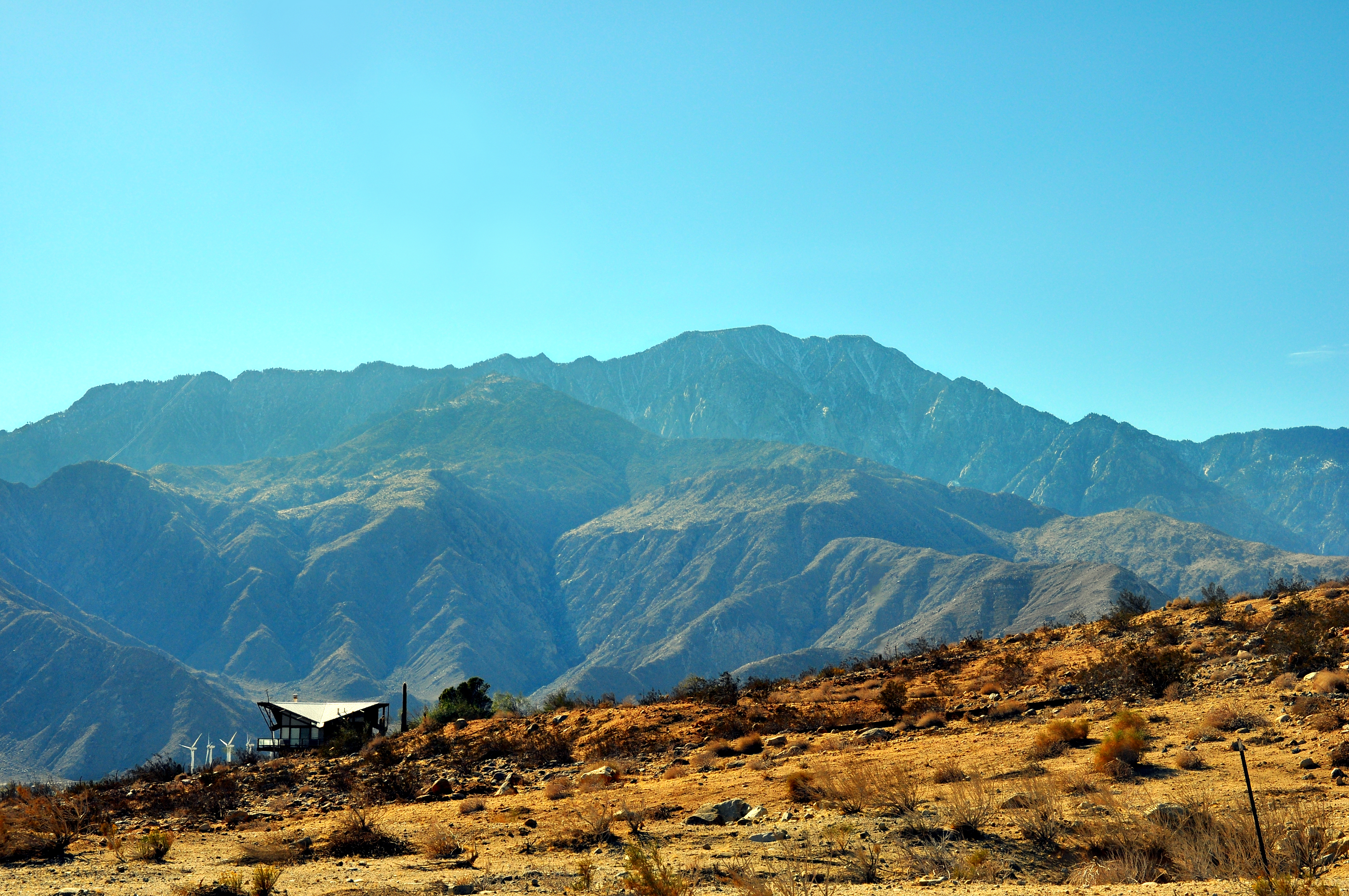
The San Jacinto Mountains (''Avii Hanupach''Munro, P., et al. ''A Mojave Dictionary''. Los Angeles: UCLA. 1992. in Mojave) are a mountain range in Riverside County, located east of Los Angeles in southern California in the United States. The mountains are named for one of the first Black Friars, Saint Hyacinth (San Jacinto in Spanish), who is a popular patron in Latin America. Geography The range extends for approximately from the San Bernardino Mountains southeast to the Santa Rosa Mountains. The San Jacinto Mountains are the northernmost of the Peninsular Ranges, which run from Southern California to the southern tip of the Baja California Peninsula. The highest peak in the range is San Jacinto Peak (3,302 m; 10,834 ft), and the range is also a Great Basin Divide landform for the Salton Watershed to the east. The Coachella Valley stretches along the eastern side of the range, including the cities of Palm Springs and Rancho Mirage. San Gorgonio Pass separates th ... [...More Info...] [...Related Items...] OR: [Wikipedia] [Google] [Baidu] |
Cranston Fire
The Cranston Fire was a wildfire that burned in southwest Riverside County, California, in the United States. The fire was started on July 25, 2018, by Brandon M. McGlover, in an act of arson. The fire burned a total of , before it was fully contained on August 10. The Cranston Fire impacted the communities of Idyllwild and Mountain Center, as well as recreational activities in the Lake Hemet area, San Bernardino National Forest and Mount San Jacinto State Park. Over 7,000 people were evacuated due to the Cranston Fire. Events July The Cranston Fire was started on July 25, around noon, by Brandon M. McGlover, who allegedly started numerous fires in the region that day. By the evening, the fire had burned , with five percent containment. Over 2,000 people were evacuated, including Mountain Center, Idyllwild, Lake Hemet, a Girl Scouts camp and more. Portions of Highway 74 and Highway 243 were closed. The next day, the fire had reached approximately and was at three percent con ... [...More Info...] [...Related Items...] OR: [Wikipedia] [Google] [Baidu] |


