|
WIS 15
State Trunk Highway 15 (STH-15, commonly known as Highway 15 or WIS 15) is a state highway in Outagamie County in the US state of Wisconsin that runs east–west and provides a shortcut to Appleton from U.S. Highway 45 (US 45) for travelers inbound from points north and west. Most of WIS 15 was once part of US 45, which was redirected south of New London to bypass Appleton and provide direct access to Oshkosh and points south. Route description WIS 15 begins at the junction of US 45 and County Trunk Highway T (CTH-T) in the Town of Hortonia (just southeast of New London) as a two-lane road and heads southeast to Hortonville. The route then continues southeast into Greenville where it becomes a multilane expressway just northwest of the unincorporated community. The highway intersects WIS 76 in Greenville then continues southeast for before turning east at the junction with CTH-CB. WIS 15 then junctions with US 41 where it ends and ... [...More Info...] [...Related Items...] OR: [Wikipedia] [Google] [Baidu] |
New London, Wisconsin
New London is a city in Outagamie County, Wisconsin, Outagamie and Waupaca County, Wisconsin, Waupaca counties Wisconsin, United States. Founded in 1851, the population was 7,295 at the 2010 census. Of this, 5,685 were in Waupaca County, and 1,640 were in Outagamie County. The city has an annual Saint Patrick's Day Parade, Irish Fest, and week-long festivities, when the city's name is changed to "New Dublin" for the week. The American Water Spaniel was developed as a registered breed by F. J. Pfeifer of New London. It was named the state dog in 1986. History For thousands of years, this area was occupied by successive Indigenous peoples of the Americas, indigenous cultures. Some were known as moundbuilders, constructing a reported 72 earthworks near what is now Taylor Lake in the county, including many effigy mounds. Their descendants included the Menominee, who lived here for thousands of years. In the Menominee language this place is known as ''Sakēmāēwataenoh'', meaning "mos ... [...More Info...] [...Related Items...] OR: [Wikipedia] [Google] [Baidu] |
Marinette, Wisconsin
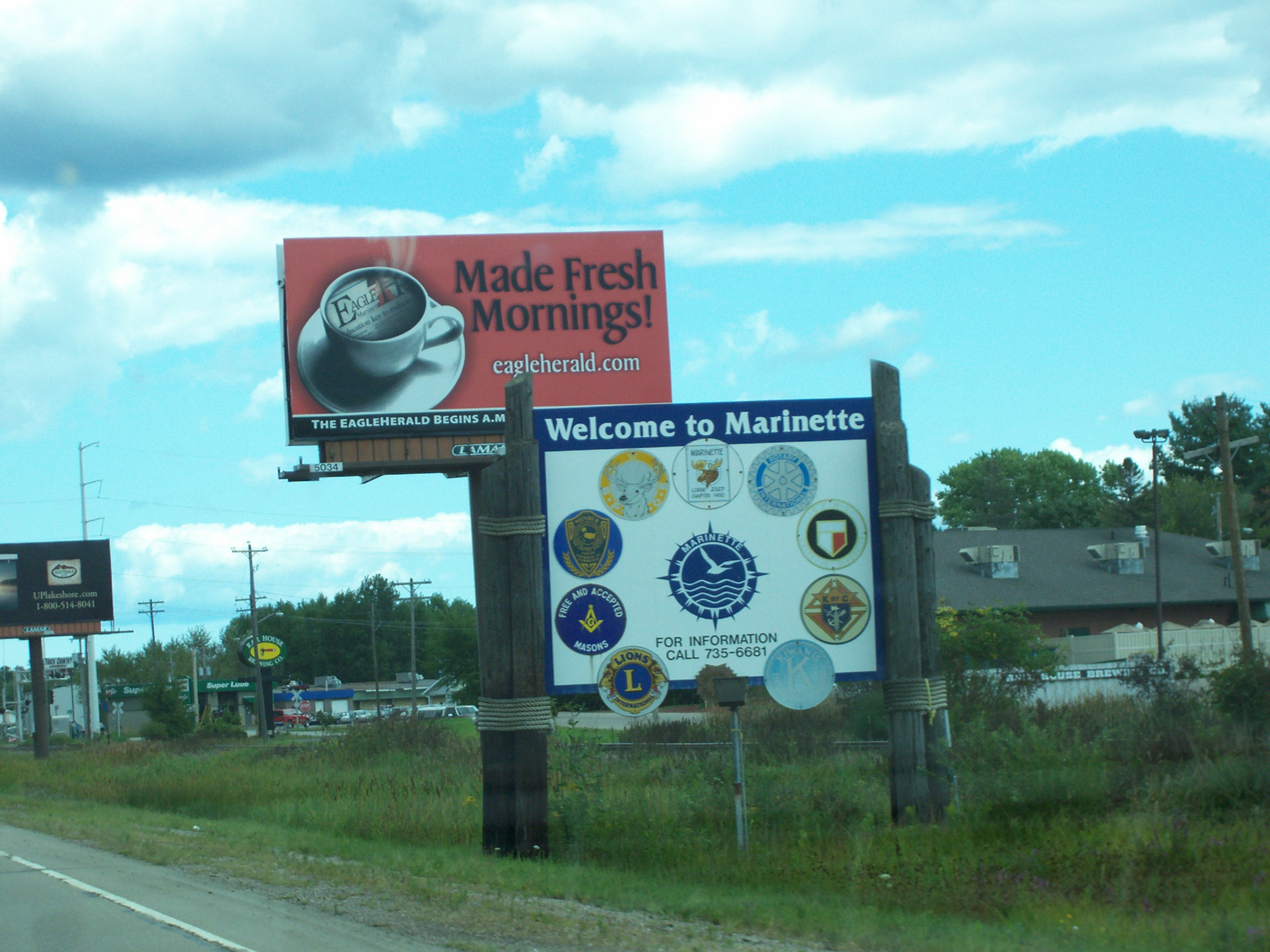
Marinette is a city in and the county seat of Marinette County, Wisconsin, United States. It is located on the south bank of the Menominee River, at its mouth at Green Bay, part of Lake Michigan; to the north is Stephenson Island, part of the city preserved as park. During the lumbering boom of the late 19th century, Marinette became the tenth-largest city in Wisconsin in 1900, reaching a peak population of 16,195. Marinette is the principal city of the Marinette, Wisconsin–Michigan Micropolitan Statistical Area, which includes all of Marinette County, Wisconsin and Menominee County, Michigan. The population was 10,968 at the 2010 census. Menominee, Michigan is across the river to the north, and the cities are connected by three bridges. Menominee and Marinette are sometimes described as the "twin cities" of the Menominee River. Name The town and county were named ''Marinette'' after Marie Antoinette Chevalier (1793, Langlade County, Wisconsin – 1865, Green Bay, Wisco ... [...More Info...] [...Related Items...] OR: [Wikipedia] [Google] [Baidu] |
Appleton International Airport
Appleton International Airport , formerly Outagamie County Regional Airport, is an airport located in Greenville, Wisconsin, United States, west of Appleton. It is included in the Federal Aviation Administration (FAA) National Plan of Integrated Airport Systems for 2023–2027. Along with Madison’s Dane County Regional Airport, it is one of two airports in the State of Wisconsin categorized as a small hub. The airport covers at an elevation of above sea level. It is the third busiest of eight commercial airports in Wisconsin in terms of passengers served. In 2016 the airport contributed $676 million to the Northeastern Wisconsin economy. In May 2018, Appleton International Airport was the fourth fastest growing airport in the US. It is the main base of privately owned regional airline Air Wisconsin and was the original home of Midwest Airlines. Midwest Airlines grew out of Kimberly-Clark subsidiary K-C Aviation, which was sold in 1998 to Gulfstream Aerospace, which reta ... [...More Info...] [...Related Items...] OR: [Wikipedia] [Google] [Baidu] |
Winchester (CDP), Wisconsin
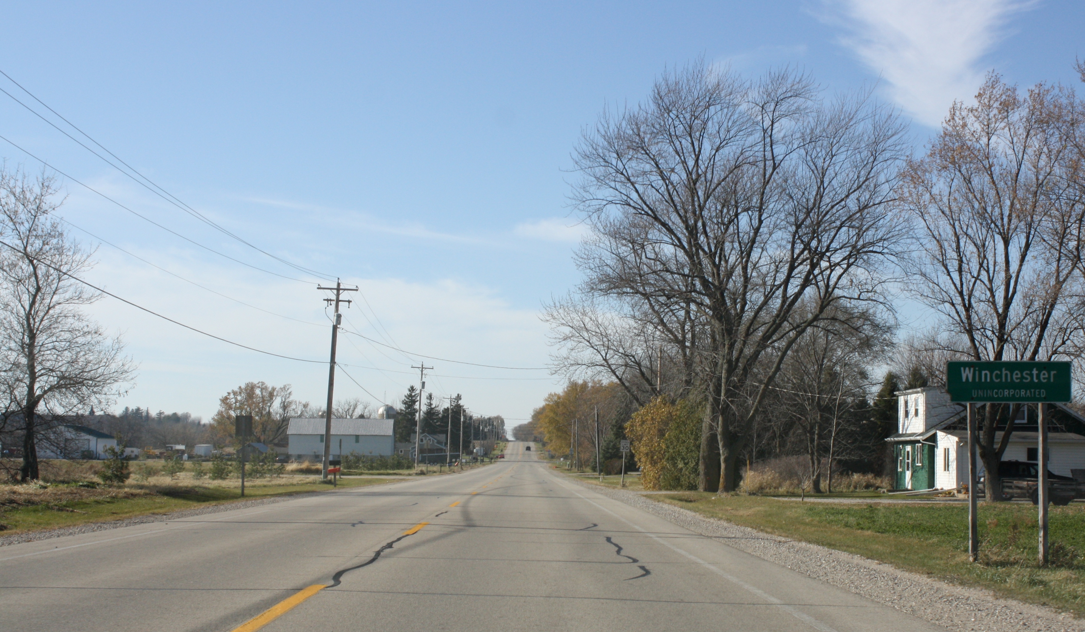
Winchester is an unincorporated census-designated place in the town of Winchester in Winnebago County, Wisconsin, United States. The community is located less than 1 mile (1 kilometer) from the southern intersection of U.S. Route 10 and U.S. Route 45. Wisconsin Highway 150 passed east–west through the community until the road was decommissioned by the state of Wisconsin, the road is now designated County Highway II. It has an elevation of 846 feet above mean sea level at latitude 44.199 and longitude -88.665. As of the 2010 census, its population is 671. Notable people * The Norwegian-American writer Peer Stromme Peer Stromme also Per Olsen Strømme (September 15, 1856 – September 15, 1921) was an American pastor, teacher, journalist, and author. Early life and education Peer Olson Strømme was born in Winchester, Wisconsin to immigrant parents from No ... was born in Winchester. The demographics, according to the 2020 Census, place the population at 99.4% Caucasian, t ... [...More Info...] [...Related Items...] OR: [Wikipedia] [Google] [Baidu] |
Medina, Outagamie County, Wisconsin
Medina, originally Young's Corner, is an unincorporated community in the Town of Dale in southwest Outagamie County, Wisconsin, United States. It is located south of the village of Hortonville, west of Appleton, and northwest of Oshkosh. Postal service is provided by the Hortonville post office, ZIP code 54944. History The first settlers in Medina were Zebediah Hyde, Lewis Hyde, and Alva McCrary, and Samuel Young and sons, who arrived in 1848. The town was originally named Young's Corner after one of Samuel Young's sons, William Young. The name was changed to Medina prior to 1851. A post office called Medina was established in 1852, and remained in operation until it was discontinued in 1966. The community was named after Medina, Ohio. Geography Medina is located at (44.2727609, -88.6378863), and the elevation is 820 feet (250 m). Education Educational services are provided by the School District of New London Transportation Medina is located on Wisconsin ... [...More Info...] [...Related Items...] OR: [Wikipedia] [Google] [Baidu] |
Dale (CDP), Wisconsin
Dale is an unincorporated area, unincorporated census-designated place in the Dale, Wisconsin, town of Dale in Outagamie County, Wisconsin, Outagamie County, Wisconsin, United States. It is located at the intersection of Wisconsin Highway 96 and County T. As of the United States Census, 2010, 2010 census, its population was 528. History Settlers who would plat the land comprising the community of Dale arrived between 1851 and 1853, and approximately twenty families arrived between the fall of 1853 and June 1854, establishing a solid population. Dale was founded and platted along the proposed Manitowoc and Mississippi Railroad line, which consolidated with the Wisconsin Central Railroad (1871–99), Wisconsin Central Railroad in 1871. Rail construction on the right of way by the Wisconsin Central reached Dale in 1872. Early in its history, the community was called Poker Flat in addition to Dale, for what a 1923 newspaper article terms "an unknown reason". 20th century Dale was ... [...More Info...] [...Related Items...] OR: [Wikipedia] [Google] [Baidu] |
Wisconsin Department Of Transportation
The Wisconsin Department of Transportation (WisDOT) is a governmental agency of the U.S. state of Wisconsin responsible for planning, building and maintaining the state's highways. It is also responsible for planning transportation in the state relating to rail, including passenger rail, public transit, freight water transport and air transport, including partial funding of the Milwaukee-to-Chicago Hiawatha Service provided by Amtrak. The Wisconsin DOT is made up of three executive offices and five divisions organized according to transportation function. WisDOT's main office is located at Hill Farms State Transportation Building in Madison, and it maintains regional offices throughout the state. History In 1905 the state legislature introduced an amendment to the state constitution that would allow the state to fund construction and improvement of roads. It was approved by voters in 1908. On June 14, 1911 governor Francis McGovern signed legislation that created the State Hig ... [...More Info...] [...Related Items...] OR: [Wikipedia] [Google] [Baidu] |
Interstate 894
Interstate 894 (I-894) is a auxiliary Interstate Highway in Milwaukee County in the US state of Wisconsin. The route serves as a bypass of downtown Milwaukee, connecting with I-94 at the Zoo Interchange west of downtown and the Mitchell Interchange south of downtown. The route runs concurrently with three other highways for its duration, following US Highway 45 (US 45) from the Zoo Interchange to Hale Interchange as the Zoo Freeway, where it separates from US 45 to follow I-43 heading east to the Mitchell Interchange as the Airport Freeway. In local traffic reporting and casual conversation, it is known simply as "the bypass" or "894". I-894 is entirely concurrent with I-41/ US 41, and the east–west portion is also concurrent with I-43. I-894 is part of what was proposed to be an extensive freeway network around the Milwaukee area. The Zoo Freeway portion was completed from Beloit Road northward in 1963, and the Airport Freeway and remaining segmen ... [...More Info...] [...Related Items...] OR: [Wikipedia] [Google] [Baidu] |
Beloit, Wisconsin
Beloit is a city in Rock County, Wisconsin, United States. As of the 2020 census, the city had a population of 36,657 people. History Twelve men in Colebrook, New Hampshire, created the "New England Emigrating Company" in October 1836 and sent Horace White to find a suitable region of Wisconsin in which to settle. The level fields and the water power of Turtle Creek and "unlimited gravel" in the area around what is now Beloit fixed the site of the village and farms. White purchased the land. At the same time as the Colebrook settlers, six families from Bedford, New Hampshire, arrived and settled in the region. They said the Rock River Valley had a "New England look" that made them feel at home. The village was platted in 1838 and was planned with wide streets, building on the New England model. Beloit was originally named New Albany (after Albany, Vermont) in 1837 by its founder, Caleb Blodgett. The name was changed to Beloit in 1838.Callary, Edward. 2009. ''Place Names of Ill ... [...More Info...] [...Related Items...] OR: [Wikipedia] [Google] [Baidu] |
Interstate 90 In Wisconsin
Interstate 90 (I-90) runs east–west through the western, central and southern portions of the U.S. state of Wisconsin. About of I-90 lie in the state. All 187 miles of I-90 in Wisconsin have a speed limit of 70 mph. Route description The highway enters from Minnesota over the I-90 Mississippi River Bridge, Mississippi River just northwest of La Crosse, Wisconsin, La Crosse. The freeway passes north of La Crosse and south of Onalaska, Wisconsin, Onalaska as it heads towards Tomah, Wisconsin, Tomah. Once there, it joins Interstate 94 in Wisconsin, I-94. The two Interstates concurrency (road), run concurrently for the next to Madison, Wisconsin, Madison. The highway collects Interstate 39, southeast of Tomah (near Portage, Wisconsin, Portage). This concurrency of about is one of only two three-route concurrency of the Interstate Highway System existence, the other being in Milwaukee. I-39 continues along I-90 for the remaining in Wisconsin. I-94 breaks away eastward towar ... [...More Info...] [...Related Items...] OR: [Wikipedia] [Google] [Baidu] |
Hale Interchange
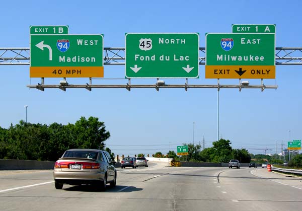
The Hale Interchange is the major interchange between Interstate 41 (I-41), I-43, I-894, US Highway 41 (US 41), and US 45 in the Milwaukee, Wisconsin, southwest suburb of Greenfield, though it takes it name from the nearby community of Hales Corners. Description The Hale Interchange is designed as a directional T interchange that serves I-41, I-43, I-894, US 41, and US 45. I-41 south/I-43 north/I-894 east/US 41 south (Airport Freeway) first heads eastward toward Downtown Milwaukee and Chicago. The freeway is also the direct route to get to Mitchell International Airport. I-43 south (Rock Freeway) heads west from the Hale to Beloit. I-41 north/I-894 west/US 41 north/US 45 north (Zoo Freeway) heads toward Madison and Fond du Lac although those control cities are not signed in the interchange on I-894 itself. US 45 south runs for a mile with I-43 south before exiting at exit 60 onto Wisconsin Highway 100 (108th Street) heading to Ha ... [...More Info...] [...Related Items...] OR: [Wikipedia] [Google] [Baidu] |
Interstate 43 In Wisconsin
Interstate 43 (I-43) is a Interstate Highway located entirely within the US state of Wisconsin, connecting I-39/I-90 in Beloit with Milwaukee and I-41, U.S. Highway 41 (US 41) and US 141 in Green Bay. State Trunk Highway 32 (WIS 32) runs concurrently with I-43 in two sections and I-94, I-894, US 10, US 41, US 45, and WIS 57 overlap I-43 once each. There are no auxiliary or business routes connected to I-43, though an alternate route to direct traffic during road closures is signed along local and state highways from Milwaukee County north into Brown County. I-43 came about as a result of toll road proposals that included a Milwaukee to Superior corridor that included Hurley, Wausau, and Green Bay. Only the Milwaukee-to-Green Bay section was approved. The route was originally planned to follow an alignment about midway between US 41 and US 141 (the latter paralleled Lake Michigan at the time) along WIS 5 ... [...More Info...] [...Related Items...] OR: [Wikipedia] [Google] [Baidu] |


