|
Van Cortlandt Family
The Van Cortlandt family was an influential political dynasty from the seventeenth-century Dutch origins of New York through its period as an English colony, then after it became a state, and into the nineteenth century. It rose to great prominence with the award of a Royal Charter to Van Cortlandt Manor, an tract in today's Westchester County sprawling from the Hudson River to the Connecticut state line granted as a Patent to Stephanus Van Cortlandt in 1697 by King William III. Among the Van Cortland family tree are members of the Philipse family, van Rensselaer family, Schuyler family, Livingston family, the de Peyster family, the Gage family, the Jay family (including John Jay, the Founding Father and first Chief Justice of the Supreme Court), and the Delanceys. Its legacy includes Van Cortlandt Park and the Van Cortlandt House Museum in the Bronx, New York; the town of Cortlandt in northern Westchester County, New York; Van Cortlandt Upper Manor House in the hamlet of ... [...More Info...] [...Related Items...] OR: [Wikipedia] [Google] [Baidu] |
Van Cortlandt Manor
Van Cortlandt Manor is a 17th-century house and property built by the van Cortland family located near the confluence of the Croton and Hudson Rivers in the village of Croton-on-Hudson in Westchester County, New York, United States. The colonial era stone and brick manor house is now a museum and is a National Historic Landmark. History By Royal Charter, Van Cortlandt Manor was originally a tract granted as a Patent to Stephanus Van Cortlandt in 1697 by King William III, stretching from the Hudson River on the west to the first boundary line between the Province of New York and the Colony of Connecticut, on the east, twenty English miles in width by ten in height, in shape nearly a rectangular parallelogram, forming, "The Manor of Cortlandt." The massive holding was acquired by direct purchase from the Indians, in part, by Stephanus van Cortlandt, a native born Dutch gentleman of New York, and in part by others whose titles he subsequently bought, this tract, together with a sma ... [...More Info...] [...Related Items...] OR: [Wikipedia] [Google] [Baidu] |
Burgomaster
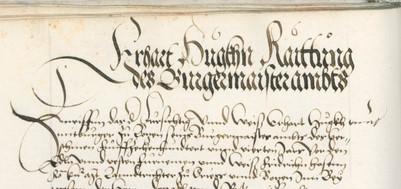
Burgomaster (alternatively spelled burgermeister, literally "master of the town, master of the borough, master of the fortress, master of the citizens") is the English form of various terms in or derived from Germanic languages for the chief magistrate or executive of a city or town. The name in English was derived from the Dutch ''burgemeester''. In some cases, Burgomaster was the title of the head of state and head of government of a sovereign (or partially or de facto sovereign) city-state, sometimes combined with other titles, such as Hamburg's First Mayor and President of the Senate). Contemporary titles are commonly translated into English as ''mayor''. Historical use * The title "burgermeister" was first used in the early 13th century. *In history (sometimes until the beginning of the 19th century) in many free imperial cities (such as Bremen, Hamburg, Lübeck etc.) the function of burgomaster was usually held simultaneously by three persons, serving as an executive co ... [...More Info...] [...Related Items...] OR: [Wikipedia] [Google] [Baidu] |
Dutch West India Company
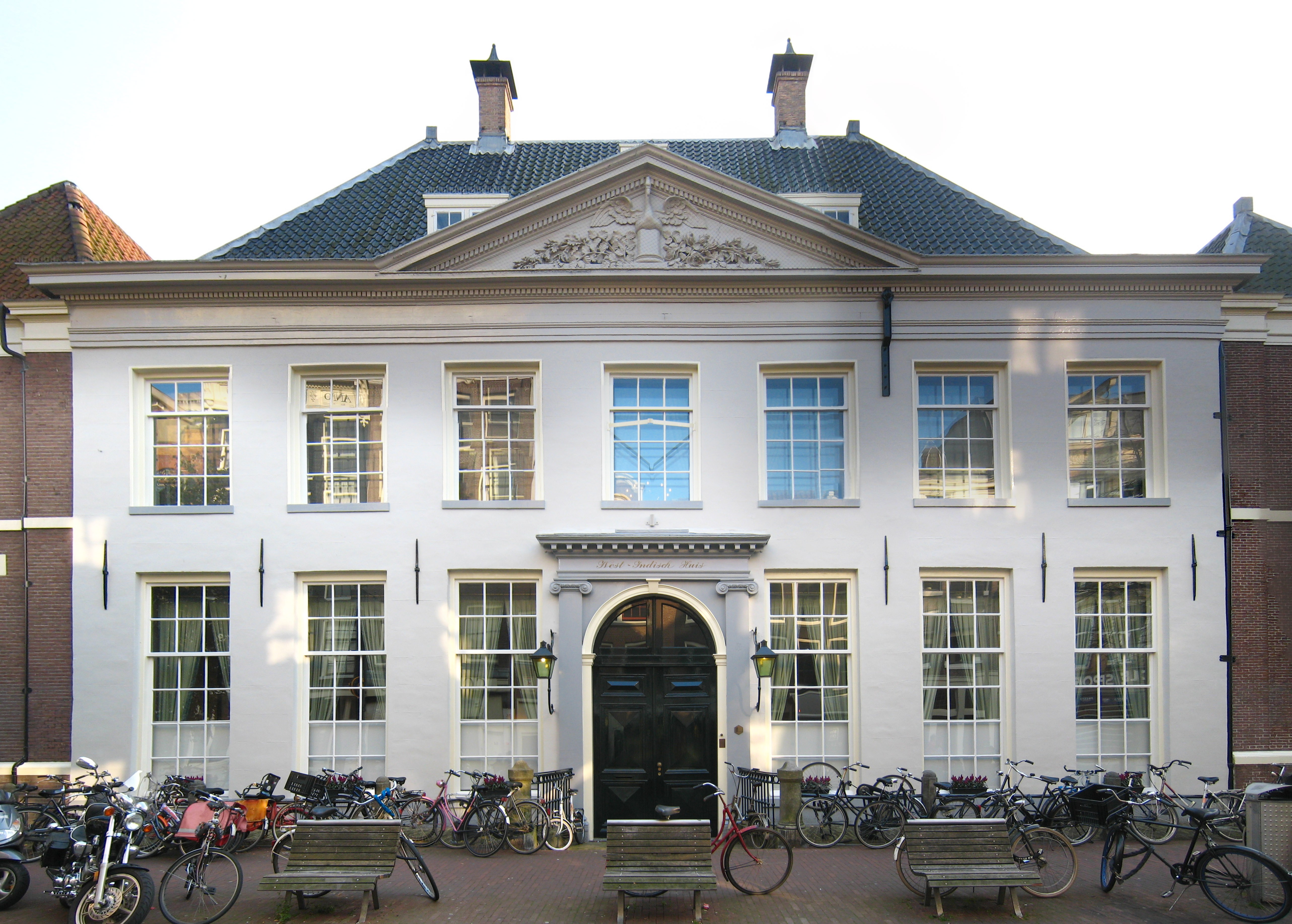
The Dutch West India Company ( nl, Geoctrooieerde Westindische Compagnie, ''WIC'' or ''GWC''; ; en, Chartered West India Company) was a chartered company of Dutch merchants as well as foreign investors. Among its founders was Willem Usselincx (1567–1647) and Jessé de Forest (1576–1624). On 3 June 1621, it was granted a charter for a trade monopoly in the Dutch West Indies by the Republic of the Seven United Netherlands and given jurisdiction over Dutch participation in the Atlantic slave trade, Brazil, the Caribbean, and North America. The area where the company could operate consisted of West Africa (between the Tropic of Cancer and the Cape of Good Hope) and the Americas, which included the Pacific Ocean and the eastern part of New Guinea. The intended purpose of the charter was to eliminate competition, particularly Spanish or Portuguese, between the various trading posts established by the merchants. The company became instrumental in the largely ephemeral Dutch coloni ... [...More Info...] [...Related Items...] OR: [Wikipedia] [Google] [Baidu] |
New Amsterdam
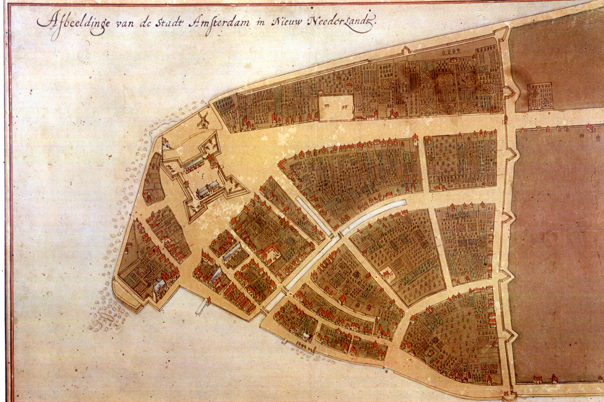
New Amsterdam ( nl, Nieuw Amsterdam, or ) was a 17th-century Dutch settlement established at the southern tip of Manhattan Island that served as the seat of the colonial government in New Netherland. The initial trading ''factory'' gave rise to the settlement around Fort Amsterdam. The fort was situated on the strategic southern tip of the island of Manhattan and was meant to defend the fur trade operations of the Dutch West India Company in the North River (Hudson River). In 1624, it became a provincial extension of the Dutch Republic and was designated as the capital of the province in 1625. By 1655, the population of New Netherland had grown to 2,000 people, with 1,500 living in New Amsterdam. By 1664, the population of New Netherland had risen to almost 9,000 people, 2,500 of whom lived in New Amsterdam, 1,000 lived near Fort Orange, and the remainder in other towns and villages. In 1664, the English took over New Amsterdam and renamed it New York after the Duke of ... [...More Info...] [...Related Items...] OR: [Wikipedia] [Google] [Baidu] |
Wijk Bij Duurstede
Wijk bij Duurstede () is a municipality and a city in the central Netherlands. Population centres *Cothen * Langbroek *Wijk bij Duurstede Topography ''Dutch Topographic map of the municipality of Wijk bij Duurstede, 2013.'' City The city (population as of 2007: 23,377) is located on the Rhine. At Wijk bij Duurstede, the Kromme Rijn (Crooked Rhine) branches off, and the main branch is called Lek River downstream from Wijk bij Duurstede. The name 'Wijk bij Duurstede' means 'Neighbourhood by Duurstede'. Duurstede is the name of the nearby castle/ruin, also called Dorestad, where the bishop of Utrecht used to live. Wijk bij Duurstede is the former location of Dorestad, an important Frisian trade settlement during Carolingian times that was pillaged around 850 by the Vikings. Wijk bij Duurstede has the only drive-through wind mill in the world. The mill is often confused with the mill that was made famous by Ruisdael's 1670 painting ''The windmill at Wijk bij Duurstede'', ... [...More Info...] [...Related Items...] OR: [Wikipedia] [Google] [Baidu] |
State University Of New York College At Cortland
The State University of New York College at Cortland (SUNY Cortland or Cortland State College) is a public college in Cortland, New York. It was founded in 1868 and is part of the State University of New York (SUNY) system. History The State University of New York College at Cortland was founded in 1868 as the Cortland Normal School. It included among its earliest students inventor and industrialist Elmer A. Sperry of Sperry Rand Corp. The campus continually grew, and in 1941, by an act of legislature and the board of regents, the institution became a four-year college providing courses leading to a bachelor's degree and soon was widely acknowledged as Cortland State Teachers College. In 1948, Cortland was a founding member of the State University of New York. Campus Cortland is off of Interstate 81, between Syracuse and Binghamton. The college's main campus covers , and includes 30 traditional and modern buildings. Fourteen of these structures are residence halls that provid ... [...More Info...] [...Related Items...] OR: [Wikipedia] [Google] [Baidu] |
Cortland County, New York
Cortland County is a county located in the U.S. state of New York. As of the 2020 census, the population of Cortland County was 46,809. The county seat is Cortland. The county is named after Pierre Van Cortlandt, president of the convention at Kingston that wrote the first New York State Constitution in 1777, and first lieutenant governor of the state. Cortland County comprises the Cortland, NY Micropolitan Statistical Area, which is also included in the Ithaca-Cortland, NY Combined Statistical Area. The Cortland apple is named for the county. History Early history Located in the glaciated Appalachian Plateau area of Central New York, midway between Syracuse and Binghamton, this predominantly rural county is the southeastern gateway to the Finger Lakes Region. Scattered archaeological evidence indicates the Iroquois also known as the Haudenosaunee controlled the area beginning about AD 1500. What was to become Cortland County remained within Indian territory until the ... [...More Info...] [...Related Items...] OR: [Wikipedia] [Google] [Baidu] |
Cortlandt Manor, New York
Cortlandt Manor is a hamlet located in the Town of Cortlandt in northern Westchester County, New York, United States. Cortlandt Manor is situated directly east, north and south of Peekskill, and east of three sections of the Town of Cortlandt, Croton-on-Hudson, Crugers, New York, Crugers, and Montrose, New York, Montrose. Most of the area is made up of residential homes. Cortlandt Manor also encompasses Cortlandt Estates. History The term "Cortlandt Manor" derives from the history of Westchester County. Until the Revolutionary War, Westchester County was split into six manors, one of which was van Cortlandt Manor of the van Cortlandt family. Until 1991, this area shared a mailing address and ZIP Code (10566) with the city of Peekskill. Although it now has its own ZIP code, 10567, many directories and censuses still do not include Cortlandt Manor, because it is an unincorporated section of the Town of Cortlandt. The 10567 ZIP code was created by the US Postal Service to diffe ... [...More Info...] [...Related Items...] OR: [Wikipedia] [Google] [Baidu] |
Van Cortlandt Upper Manor House
Van Cortlandt Upper Manor House is a historic home of the van Cortlandt family located in Cortlandt Manor, Westchester County, New York. The original house was built about 1773 and subsequently enlarged and altered a number of times. History The original structure is a -story, five-bay brick house, altered by the Van Cortlandt family in the 1830s. It has a gable roof covered in slate. A large -story frame wing covered in stucco was built in the 1920s. It was built or remodeled in 1773 by Pierre Van Cortlandt. After 1783, the house was occupied by his son Pierre Van Cortlandt, Jr. (1762–1848) until his death. In 1889, the house was converted for use as a convalescent home and was later used as a nursing home. ''See also:'' Revolutionary War During the American Revolutionary War, the house served as headquarters for General George Washington from November 10 to 12, 1776; November 28 to 30, 1779; and June 25 to July 2, 1781. It was added to the National Register of Historic ... [...More Info...] [...Related Items...] OR: [Wikipedia] [Google] [Baidu] |
Cortlandt, New York
Cortlandt is a Administrative divisions of New York#Town, town in Westchester County, New York, Westchester County, New York (state), New York, United States, located at the northwestern edge of the county, at the eastern terminus of the Bear Mountain Bridge. The town includes the Political subdivisions of New York State#Village, villages of Buchanan, New York, Buchanan and Croton-on-Hudson, New York, Croton-on-Hudson. History The Bear Mountain Bridge Road, Bear Mountain Bridge Road and Toll House and the Old Croton Dam are listed on the National Register of Historic Places. Cortlandt is also known for its American Revolutionary War, Revolutionary War history, specifically the location of the strategic Kings Ferry (Cortlandt, New York), Kings Ferry between Stony Point, New York, Stony Point and Verplanck's Point, which George Washington's army used to cross the Hudson on its march to Siege of Yorktown, Yorktown, Virginia, in 1781. John Trumbull's full-length oil portrait of ''Wash ... [...More Info...] [...Related Items...] OR: [Wikipedia] [Google] [Baidu] |
The Bronx
The Bronx () is a borough of New York City, coextensive with Bronx County, in the state of New York. It is south of Westchester County; north and east of the New York City borough of Manhattan, across the Harlem River; and north of the New York City borough of Queens, across the East River. The Bronx has a land area of and a population of 1,472,654 in the 2020 census. If each borough were ranked as a city, the Bronx would rank as the ninth-most-populous in the U.S. Of the five boroughs, it has the fourth-largest area, fourth-highest population, and third-highest population density.New York State Department of Health''Population, Land Area, and Population Density by County, New York State – 2010'' retrieved on August 8, 2015. It is the only borough of New York City not primarily on an island. With a population that is 54.8% Hispanic as of 2020, it is the only majority-Hispanic county in the Northeastern United States and the fourth-most-populous nationwide. The Bronx ... [...More Info...] [...Related Items...] OR: [Wikipedia] [Google] [Baidu] |


