|
Valentine, Arizona
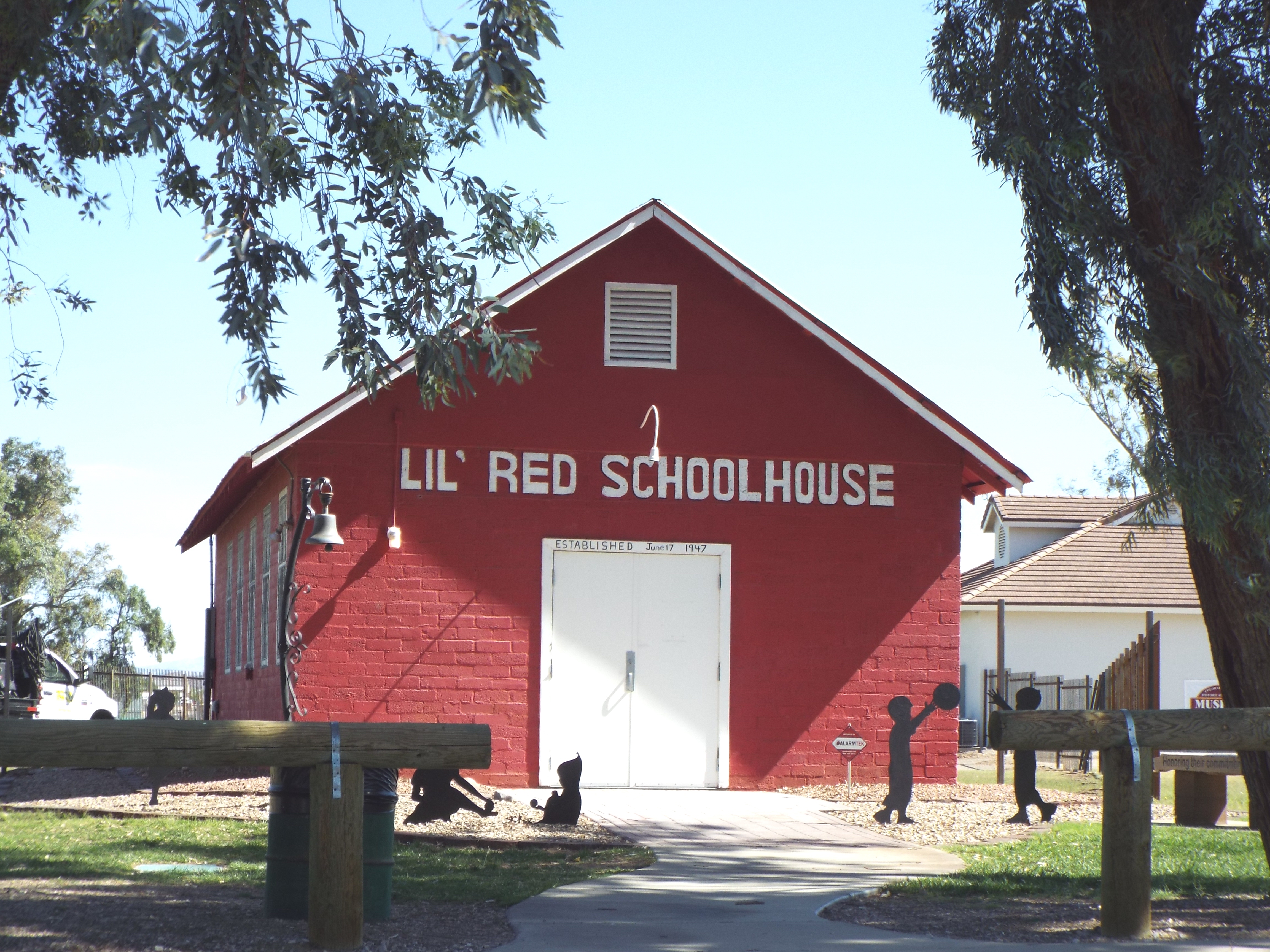
Valentine is an unincorporated community and census-designated place (CDP) in Mohave County, Arizona, United States. As of the 2020 census it had a population of 39. Valentine is located on Arizona State Route 66 (former U.S. Route 66) northeast of Kingman. The majority of Valentine is located in a geographically isolated portion of the Hualapai Reservation. Education The Valentine Elementary School District serves the communities of Valentine, Truxton, Crozier and a portion of Hackberry. It has its single K-8 school in Truxton. When the school was first established, it was in Valentine itself. The Valentine Campus was closed in 1969, and classes were moved to Truxton. - The address states "Peach Springs, AZ" but the school, as per the page, is in Truxton. The Bureau of Indian Affairs operated the Truxton Canyon Training School in Valentine from 1903 to 1937. The BIA continues to have an office in Valentine. Demographics Historic structures See also * Bullhead City, ... [...More Info...] [...Related Items...] OR: [Wikipedia] [Google] [Baidu] |
Census-designated Place
A census-designated place (CDP) is a concentration of population defined by the United States Census Bureau for statistical purposes only. CDPs have been used in each decennial census since 1980 as the counterparts of incorporated places, such as self-governing cities, towns, and villages, for the purposes of gathering and correlating statistical data. CDPs are populated areas that generally include one officially designated but currently unincorporated community, for which the CDP is named, plus surrounding inhabited countryside of varying dimensions and, occasionally, other, smaller unincorporated communities as well. CDPs include small rural communities, edge cities, colonias located along the Mexico–United States border, and unincorporated resort and retirement communities and their environs. The boundaries of any CDP may change from decade to decade, and the Census Bureau may de-establish a CDP after a period of study, then re-establish it some decades later. Most unin ... [...More Info...] [...Related Items...] OR: [Wikipedia] [Google] [Baidu] |
Valentine Elementary School District
Valentine Elementary School District 22 is a public school district based in Mohave County, Arizona. It consists of a single K-8 school, Valentine Elementary School, in Truxton, with a Peach Springs postal address. its student body was fewer in number than 100, with 84% of them being Native Americans, with many of them from the Hualapai Indian Reservation, which is outside of the district. That year, there were about 14 employees. - The address states "Peach Springs, AZ" but the school, as per the page, is in Truxton. The district serves Truxton, Valentine, Crozier A crosier or crozier (also known as a paterissa, pastoral staff, or bishop's staff) is a stylized staff that is a symbol of the governing office of a bishop or abbot and is carried by high-ranking prelates of Roman Catholic, Eastern Catholi ..., and a section of Hackberry. History Originally located in Valentine, the school was established in 1924. In 1969 the school began classes in its current location. ... [...More Info...] [...Related Items...] OR: [Wikipedia] [Google] [Baidu] |
Santa Claus, Arizona
Santa Claus (also known as Santa Claus Acres) is an uninhabited desert place in Mohave County, Arizona, United States. Originating in 1937, Santa Claus lies approximately northwest of Kingman, Arizona, along U.S. Route 93 between mile markers 57 and 58, immediately north of Hermit Drive and just south of both Grasshopper Junction, Arizona, and the Junk Art of Chloride, a group of metal statues in Chloride, Arizona, that include a flamingo made out of a motorcycle gas tank. Characterized in 1988 as "a little roadside place on the west shoulder of U.S. Route 93," Santa Claus receives traffic from motorists driving between Phoenix, Arizona, and Las Vegas, Nevada, or Hoover Dam. In connection with its beginnings in 1937, Santa Claus received several attractions and buildings, including the Kit Carson Guest House which was renamed the Santa Claus Inn. Nina Talbot, a real estate woman and the owner of Santa Claus, made plans to use the Santa theme in a parched desert location to ... [...More Info...] [...Related Items...] OR: [Wikipedia] [Google] [Baidu] |
Yucca, Arizona
Yucca is an unincorporated community and census-designated place (CDP) in Mohave County, Arizona, United States. As of the 2020 census it had a population of 96, down from 126 at the 2010 census. Located along Interstate 40, it lies southwest of Kingman, just east of the southern section of the Black Mountains and west of the Hualapai and McCracken Mountains in the Sacramento Valley. Yucca has a ZIP Code of 86438. Students in Yucca attend elementary school in the one-school Yucca School District, and high school in the Kingman Unified School District. History Yucca started as an order office and water fill station for the Atlantic and Pacific Railroad (affiliated with the Atchison, Topeka and Santa Fe Railway) in the 1880s. It was part of a rail line commissioned by the U.S. Congress running from St. Louis, Missouri, to Needles, California. This rail line grew to be transcontinental and is a major freight corridor to Southern California. During World War II, the United Sta ... [...More Info...] [...Related Items...] OR: [Wikipedia] [Google] [Baidu] |
Mohave Valley, Arizona
Mohave Valley ('Amat' 'Analy Uuhwely in Mojave) is an unincorporated community and census-designated place (CDP) in Mohave County, Arizona, United States. The population was 2,693 at the 2020 census. It is geographically connected to Needles, California, Fort Mohave and Bullhead City. History The first recorded European to come through Mohave Valley was Melchor Díaz. He documented his travels in what is now northwestern Mohave County in 1540. He recounts meeting a large population of natives who referred to themselves as the ''Pipa Aha Macav'', meaning "People by the River". From "Aha Macav" came the shortened name "Mojave" (also spelled "Mohave"). While Mohave Valley and Mohave County use the modern English spelling, the tribe retains the traditional Spanish spelling "Mojave". Both are correct, and both are pronounced "Moh-''hah''-vee". Geography Mohave Valley is located in western Mohave County at (34.956929, -114.584613), in the valley of the same name, drained by the C ... [...More Info...] [...Related Items...] OR: [Wikipedia] [Google] [Baidu] |
Fort Mohave, Arizona
Fort Mohave is an unincorporated community and CDP in Mohave County, Arizona, United States. It is named for a nearby fort that was used during the Mohave War. As of the 2020 census, the population of Fort Mohave was 16,190, up from 14,364 in 2010 and 8,919 in 2000. It is a suburb of Bullhead City. Its recent growth has made it the most populous unincorporated community in Mohave County. The largest single employer in Fort Mohave is Valley View Medical Center. In 2013, Fort Mohave became the home of a 200+ acre photovoltaic solar generating plant. The plant was built east of Vanderslice Road between Joy Lane and Lipan Boulevard. History The first known European to visit the area was Spanish explorer Melchor Díaz. He documented his travels in what is now northwestern Mohave County in 1540. He recounts meeting a large population of natives who referred to themselves as the ''Pipa Aha Macav'', meaning "People by the River". From "Aha Macav" came the Spanish name "Mojave", which ... [...More Info...] [...Related Items...] OR: [Wikipedia] [Google] [Baidu] |
Bullhead City, Arizona
Bullhead City is a city located on the Colorado River in Mohave County, Arizona, United States, south of Las Vegas, Nevada, and directly across the Colorado River from Laughlin, Nevada, whose casinos and ancillary services supply much of the employment for Bullhead City. Bullhead City is located at the southern end of Lake Mohave. Feeding homeless people in parks is banned in Bullhead City. As of the 2020 census, the population of Bullhead City was 41,348. The nearby communities of Laughlin, Needles, California, Fort Mohave and Mohave Valley bring the Bullhead area's total population to over 77,000, making it the largest economic region in Mohave County. With over , Bullhead City is the largest city in Mohave County in terms of total land area. In 2011, the Laughlin/Bullhead International Airport was named Airport of the Year by the Arizona Department of Transportation. "More than 115,000 people flew into Laughlin/Bullhead International Airport on casino-sponsored charters i ... [...More Info...] [...Related Items...] OR: [Wikipedia] [Google] [Baidu] |
Schoolhouse At Truxton Canyon Training School
The Schoolhouse at Truxton Canyon Training School, which has also been known as the Truxton Canyon Indian School and as the Valentine Indian School, is a historic schoolhouse that was built in 1903. It was built using Colonial Revival architecture as a work of the Office of Indian Affairs, and was expanded, compatibly with the Colonial Revival style, in 1929. It was listed on the National Register of Historic Places in 2003. It was deemed significant for its role in "educating predominantly Hualapai but also Apache, Havasupai, Hopi, Navajo, Tohono O'odham (Papago), Pima, and Yavapai children during the early twentieth century", and also "as an expression of Office of Indian Affairs architecture during the 'Assimilation Policy' era, when boarding school buildings in Euroamerican styles were designed to educate Indian children in environments entirely foreign from their own. The architecture expressed the intent on the part of the federal government to separate a student from his or ... [...More Info...] [...Related Items...] OR: [Wikipedia] [Google] [Baidu] |
Bureau Of Indian Affairs
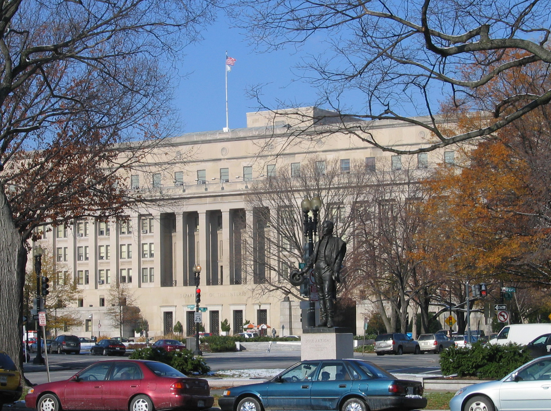
The Bureau of Indian Affairs (BIA), also known as Indian Affairs (IA), is a United States federal agency within the Department of the Interior. It is responsible for implementing federal laws and policies related to American Indians and Alaska Natives, and administering and managing over of land held in trust by the U.S. federal government for Indian Tribes. It renders services to roughly 2 million indigenous Americans across 574 federally recognized tribes. The BIA is governed by a director and overseen by the assistant secretary for Indian affairs, who answers to the secretary of the interior. The BIA works with tribal governments to help administer law enforcement and justice; promote development in agriculture, infrastructure, and the economy; enhance tribal governance; manage natural resources; and generally advance the quality of life in tribal communities. Educational services are provided by Bureau of Indian Education—the only other agency under the assistan ... [...More Info...] [...Related Items...] OR: [Wikipedia] [Google] [Baidu] |
K-8 School
K8 or K-8 may refer to: * K-8 (Kansas highway), two highways in Kansas, one in northern Kansas, one in southern Kansas * K-8 school, a type of school that includes kindergarten and grades one through eight * AMD K8, the internal designation for the first generation of AMD64-architecture microprocessors from AMD * Hongdu JL-8 or K-8, a training aircraft * Kaliningrad K-8 (AA-3 Anab), a Soviet missile * Norrlands dragonregemente or K 8, a Swedish Army cavalry regiment * Schleicher Ka 8, a single-seat glider * Soviet submarine K-8 * Violin Sonata No. 3 (Mozart) K. 8, by Wolfgang Amadeus Mozart * Zambia Skyways, IATA airline designator * World Atlantic Airlines, IATA airline designator * Kan Air, IATA airline designator * K8, a member of the Mazda K engine family * LG K8, an LG K series mobile phone released in 2016 * K8 group, an online casino company * Kubernetes Kubernetes (, commonly stylized as K8s) is an open-source container orchestration system for automating software de ... [...More Info...] [...Related Items...] OR: [Wikipedia] [Google] [Baidu] |

_(cropped).jpg)

