|
Volcano Hazards Program
The Volcano Hazards Program is a program directed by the USGS that monitors the activity of volcanoes and the public awareness of eruptions. Under the mandate of the Robert T. Stafford Disaster Relief and Emergency Assistance Act (Stafford Act), the Volcano Hazards Program monitors active and potentially active volcanoes, assesses their hazards, responds to volcanic crises, and conducts research on how volcanoes work. The Volcano Hazards Program supports the work of the Volcano Disaster Assistance Program The Volcano Disaster Assistance Program (VDAP) was developed by the U.S. Geological Survey and the United States Agency for International Development's Office of U.S. Foreign Disaster Assistance after the eruption of Nevado del Ruiz (Colombia) in ... through a mobile monitoring and response system. References External linksOfficial site [...More Info...] [...Related Items...] OR: [Wikipedia] [Google] [Baidu] |
USGS
The United States Geological Survey (USGS), formerly simply known as the Geological Survey, is a scientific agency of the United States government. The scientists of the USGS study the landscape of the United States, its natural resources, and the natural hazards that threaten it. The organization's work spans the disciplines of biology, geography, geology, and hydrology. The USGS is a fact-finding research organization with no regulatory responsibility. The agency was founded on March 3, 1879. The USGS is a bureau of the United States Department of the Interior; it is that department's sole scientific agency. The USGS employs approximately 8,670 people and is headquartered in Reston, Virginia. The USGS also has major offices near Lakewood, Colorado, at the Denver Federal Center, and Menlo Park, California. The current motto of the USGS, in use since August 1997, is "science for a changing world". The agency's previous slogan, adopted on the occasion of its hundredth anniv ... [...More Info...] [...Related Items...] OR: [Wikipedia] [Google] [Baidu] |
Volcano
A volcano is a rupture in the crust of a planetary-mass object, such as Earth, that allows hot lava, volcanic ash, and gases to escape from a magma chamber below the surface. On Earth, volcanoes are most often found where tectonic plates are diverging or converging, and most are found underwater. For example, a mid-ocean ridge, such as the Mid-Atlantic Ridge, has volcanoes caused by divergent tectonic plates whereas the Pacific Ring of Fire has volcanoes caused by convergent tectonic plates. Volcanoes can also form where there is stretching and thinning of the crust's plates, such as in the East African Rift and the Wells Gray-Clearwater volcanic field and Rio Grande rift in North America. Volcanism away from plate boundaries has been postulated to arise from upwelling diapirs from the core–mantle boundary, deep in the Earth. This results in hotspot volcanism, of which the Hawaiian hotspot is an example. Volcanoes are usually not created where two tectonic plates slide ... [...More Info...] [...Related Items...] OR: [Wikipedia] [Google] [Baidu] |
Stafford Disaster Relief And Emergency Assistance Act
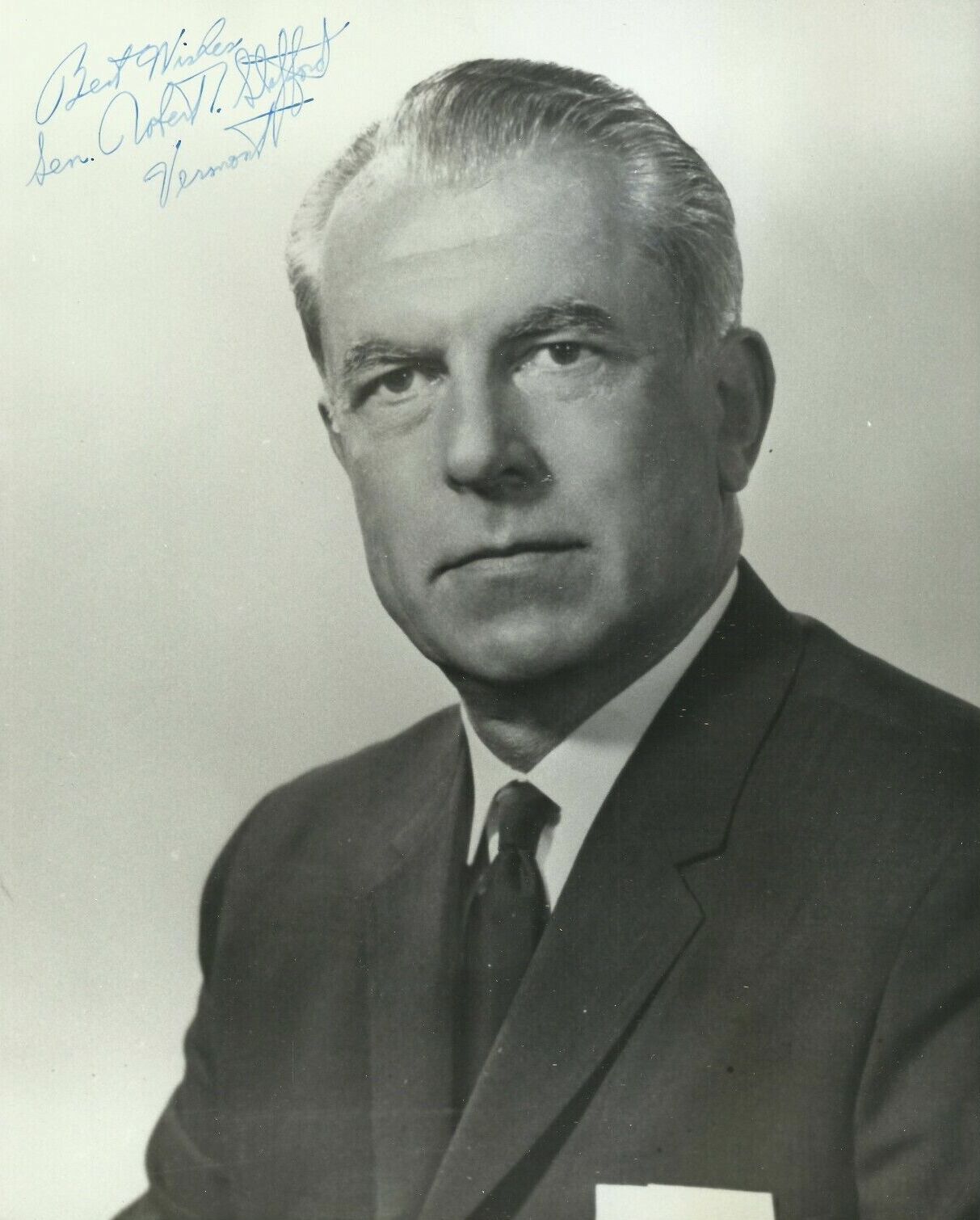
The Robert T. Stafford Disaster Relief and Emergency Assistance Act (Stafford Act) is a 1988 United States federal law designed to bring an orderly and systematic means of federal natural disaster assistance for state and local governments in carrying out their responsibilities to aid citizens. Congress' intention was to encourage states and localities to develop comprehensive disaster preparedness plans, prepare for better intergovernmental coordination in the face of a disaster, encourage the use of insurance coverage, and provide federal assistance programs for losses due to a disaster. The Stafford Act is a 1988 amended version of the Disaster Relief Act of 1974. It created the system in place today by which a presidential disaster declaration or an emergency declaration triggers financial and physical assistance through the Federal Emergency Management Agency (FEMA). The Act gives FEMA the responsibility for coordinating government-wide relief efforts. The Federal Response ... [...More Info...] [...Related Items...] OR: [Wikipedia] [Google] [Baidu] |
Volcano Disaster Assistance Program
The Volcano Disaster Assistance Program (VDAP) was developed by the U.S. Geological Survey and the United States Agency for International Development's Office of U.S. Foreign Disaster Assistance after the eruption of Nevado del Ruiz (Colombia) in 1985. The volcanic eruption melted a glacier triggering a lahar that killed 25,000 people. It was determined that increased monitoring and enhanced communications between scientists and civil authorities would make it easier to evacuate local populations and save lives. Today the program responds to volcanic crises around the world. The aim of the program is to assist in saving lives and property, to reduce economic losses, and to prevent a natural hazard becoming a natural disaster. VDAP staff members are based at the USGS Cascades Volcano Observatory, in Vancouver, Washington. VDAP channels its energy into four main activities: response to natural disaster, capacity building, training, and volcanological research.Tilling, R.I. (2010), Volc ... [...More Info...] [...Related Items...] OR: [Wikipedia] [Google] [Baidu] |
Volcanology
Volcanology (also spelled vulcanology) is the study of volcanoes, lava, magma and related geological, geophysical and geochemical phenomena (volcanism). The term ''volcanology'' is derived from the Latin word ''vulcan''. Vulcan was the ancient Roman god of fire. A volcanologist is a geologist who studies the eruptive activity and formation of volcanoes and their current and historic eruptions. Volcanologists frequently visit volcanoes, especially active ones, to observe volcanic eruptions, collect eruptive products including tephra (such as ash or pumice), rock and lava samples. One major focus of enquiry is the prediction of eruptions; there is currently no accurate way to do this, but predicting eruptions, like predicting earthquakes, could save many lives. Modern volcanology image:Icelandic tephra.JPG, Volcanologist examining tephra horizons in south-central Iceland. In 1841, the first volcanological observatory, the Vesuvius Observatory, was founded in the Kingdom o ... [...More Info...] [...Related Items...] OR: [Wikipedia] [Google] [Baidu] |


