|
Vallikunnu
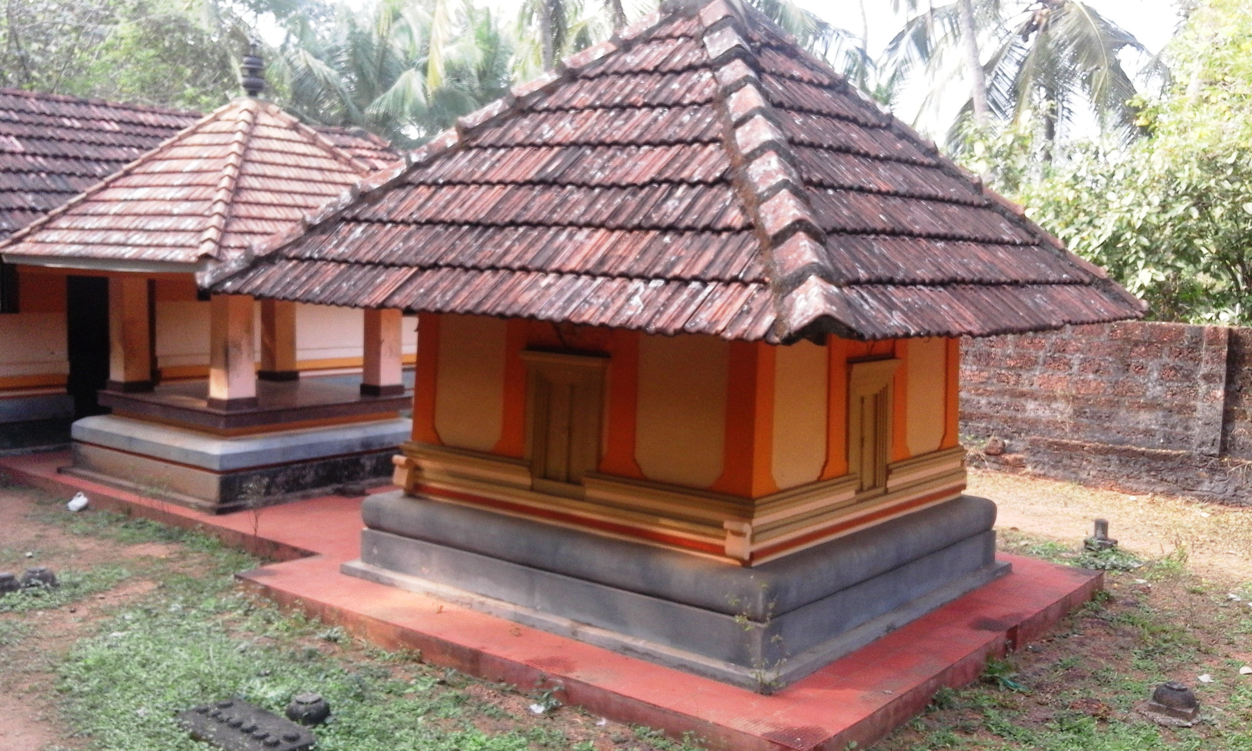
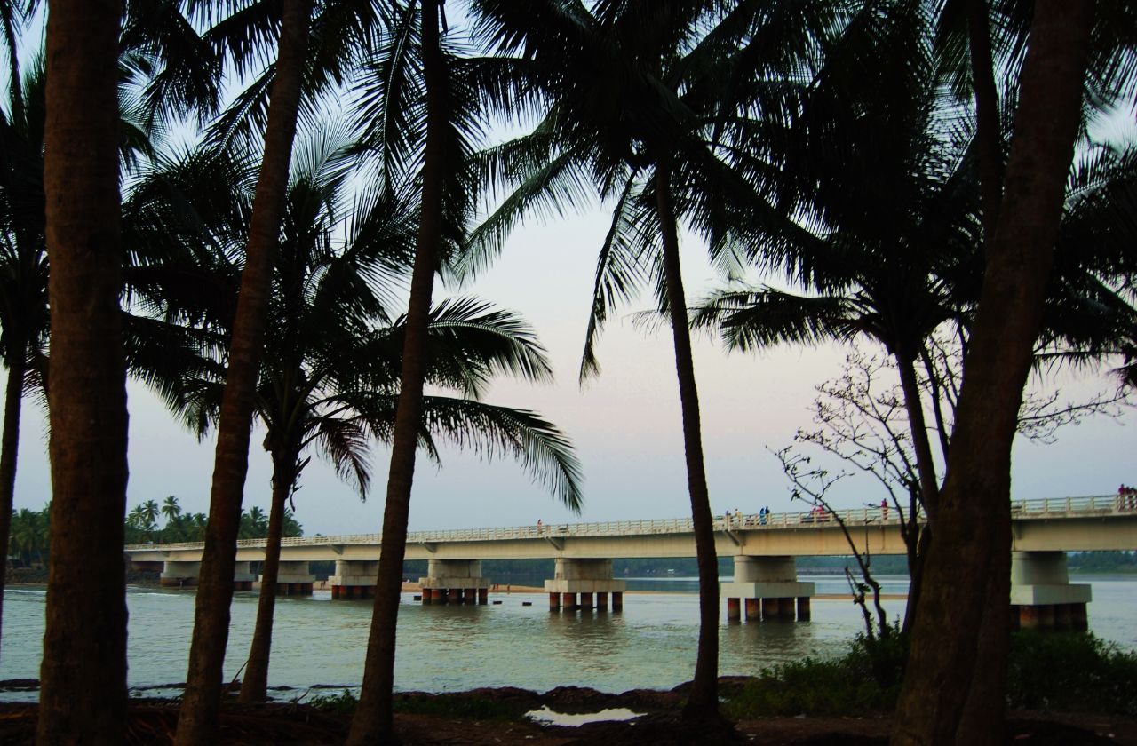
Vallikkunnu is a village in Tirurangadi Taluk of Malappuram district in the state of Kerala, India with an area of 25 km2. It is located 5 km north of Parappanangadi town and comes under the jurisdiction of Parappanangadi Police Station and Parappanangadi Judicial First Class Magistrate Court. Its latitude and longitude are 11'07" N and 7'51"E respectively. Vallikkunnu was awarded the best panchayath of Kerala in 1997. Vallikunnu is situated on Tirur-Kadalundi Road. Vallikkunnu is also a part of the Oldest Railway Line of Kerala laid in 1861 from Tirur to Chaliyam via Tanur, Parappanangadi, Vallikkunnu, and Kadalundi. Vallikkunnu lies on the bank of Kadalundi River. Kadalundi River joins with Arabian Sea at the estuary (''Azhimukham'') in Kadalundi Nagaram beach of Vallikkunnu Grama Panchayat. Kadalundi Bird Sanctuary and Kadalundi-Vallikkunnu Community Reserve are located here. Demographics India census, Vallikkunnu had a population of 22853 with 11057 males ... [...More Info...] [...Related Items...] OR: [Wikipedia] [Google] [Baidu] |
Malappuram District
Malappuram (), is one of the List of districts of Kerala, 14 districts in the States and union territories of India, Indian state of Kerala, with a coastline of . It is the most populous district of Kerala, which is home to around 13% of the total population of the state. The district was formed on 16 June 1969, spanning an area of about . It is the third-largest district of Kerala by area, as well as the largest district in the state, bounded by Western Ghats and Arabian Sea to either side. The district is divided into seven Tehsil, Taluks: Eranad Taluk, Eranad, Kondotty Taluk, Kondotty, Nilambur#Nilambur Taluk, Nilambur, Perinthalmanna taluk, Perinthalmanna, Ponnani taluk, Ponnani, Tirur Taluk, Tirur, and Tirurangadi Taluk Office, Tirurangadi. Malayalam is the most spoken language. The district has witnessed significant emigration, especially to the Arab states of the Persian Gulf during the Kerala Gulf diaspora#The Gulf Boom, Gulf Boom of the 1970s and early 1980s, and its ec ... [...More Info...] [...Related Items...] OR: [Wikipedia] [Google] [Baidu] |
Chelembra
Idimuzhikkal or Chelembra is a town in Malappuram district, Kerala, India. Chelembra is the Panchayath (One of the elementary governmental ruling systems in India) and Idimuzhikal is the capital of this Panchayath. Chelembra grama panchayat in the district. Location Idimuzhikkal town is technically in Malappuram district but it is considered an extension of the Ramanattukara town of Kozhikode district. It is bordered by Feroke, Pallikkal, Thenjipalam, Vallikunnu, Kondotty and Kadalundi towns. The National Highway 17 transverses this township at Idimuzhikal and Kakkanchery which are three kilometers apart. Proposed Vallikunnu Municipality The proposed Vallikunnu Municipality comprises: *Vallikunnu panchayat *Tenhipalam panchayat *Chelembra panchayat Total Area: 77.18 km2 Total Population (1991 Census): 108,792 History One of the earliest mention of Chelembra comes from Logans's Malabar manual (P.649). As per this document, Chelembra came under Ramnad as a territory ... [...More Info...] [...Related Items...] OR: [Wikipedia] [Google] [Baidu] |
Tenhipalam
Thenhipalam (also spelt Tenhipalam and Thenjipalam) is a census town and a panchayat in Tirurangadi taluk in Malappuram district of Kerala, India, with a population of 27,273 as per 2001 census, consisting of 13,293 males and 13,980 females.Thenhippalam OurVillageIndia.org. Retrieved on 2008-08-02. Tenhipalam forms a portion of the as of 2011 Census. |
Kadalundi Bird Sanctuary
The Kadalundi Bird Sanctuary lies in Vallikunnu Grama Panchayat of Malappuram district in Kerala, India. It spreads over a cluster of islands where the Kadalundipuzha River flows into the Arabian Sea. The Sanctuary hill is around 200 m above sea level. It is located 19 km away from the Kozhikode city centre. Fauna Over a hundred species of native birds have been recorded in the sanctuary, including about 60 species of migratory birds which visit seasonally; these include terns, gulls, herons, sandpipers and cormorants. Notable species are whimbrels and brahminy kites. The sanctuary is well known for a wide variety of fish, mussels and crabs. Some species of snakes, cobras, vipers and kraits also live here. See also * Vallikkunnu * Malappuram district * Eranad * Parappanangadi * Chaliyar river * Kadalundi river Kadalundi River (Kadalundipuzha) is one of the four major rivers flowing through Malappuram district in the Indian state of Kerala. The other ... [...More Info...] [...Related Items...] OR: [Wikipedia] [Google] [Baidu] |
Vallikkunnu Railway Station
Vallikkunnu railway station is situated at Ariyallur, Vallikkunnu, Malappuram district, Kerala, India. It is one of the oldest railway stations in Kerala. This railway station was a part of first rail route (Tirur-Chaliyam Chaliyam is a village situated at the estuary of Chaliyar (River Beypore) in Kozhikode district of Kerala, India. Chaliyam forms an island, bounded by the Chaliyar in the north, and River Kadalundi in south, and the Conolly Canal in the east. ...) in Kerala. The station code for Vallikkunnu set by Indian Railway is VLI which can be used for various purposes including online reservations. References Railway stations in Malappuram district Palakkad railway division {{Kerala-railstation-stub ... [...More Info...] [...Related Items...] OR: [Wikipedia] [Google] [Baidu] |
Kadalundi River
Kadalundi River (Kadalundipuzha) is one of the four major rivers flowing through Malappuram district in the Indian state of Kerala. The other three are the Chaliyar, the Bharathappuzha and the Tirur River. This rain-fed river is long and is one of the most important rivers in the district. Kadalundi River is also the sixth longest River in Kerala. Kadalundi River passes through Melattur, Pandikkad">elattur,_Kerala.html" ;"title="aruvarakundu, Tuvvur [Melattur, Kerala">Melattur, Pandikkad, Manjeri, Malappuram, Panakkad, Parappur, Vengara, Malappuram district, Vengara, Tirurangadi, Parappanangadi, Vallikkunnu, and empties itself into Arabian sea at Kadalundi Nagaram in Vallikkunnu on the northwestern border of the district. It is formed by the confluence of the Olippuzha River and the Veliyar River. The Kadalundi originates from the Western Ghats at the western border of the Silent Valley and flows through the district of Malappuram. It has two main tributaries namely Olipu ... [...More Info...] [...Related Items...] OR: [Wikipedia] [Google] [Baidu] |
Parappanangadi
Parappanangadi, , is a major town and a municipality in Tirurangadi taluk of Malappuram district, Kerala, India. It is a coastal town located close to the Arabian sea. Parappanangadi railway station is one of the oldest railway stations in Kerala. It was a part of the first rail route (Tirur–Chaliyam) in Kerala. Parappanangadi is located north of Tanur, Malappuram, Tanur on Tirur-Kadalundi Tipu Sultan Road. The town lies on the bank of Kadalundi River. Parappanangadi town is located north of the estuary of Poorappuzha River, which is a tributary of Kadalundi River, and south of the estuary of Kadalundi River, which lies in Vallikkunnu. Parappanangadi was one of the major ports in the southwestern coast of India during the medieval period. It was ruled by the kingdom of Parappanad, who were vassals to the Zamorin of Calicut, and had the jurisdiction up to Beypore port to the north. In the early medieval period, under the chiefs of Kozhikode and Parappanangadi, Parappanangadi ... [...More Info...] [...Related Items...] OR: [Wikipedia] [Google] [Baidu] |
Arabian Sea
The Arabian Sea ( ar, اَلْبَحرْ ٱلْعَرَبِيُّ, Al-Bahr al-ˁArabī) is a region of the northern Indian Ocean bounded on the north by Pakistan, Iran and the Gulf of Oman, on the west by the Gulf of Aden, Guardafui Channel and the Arabian Peninsula, on the southeast by the Laccadive Sea and the Maldives, on the southwest by Somalia, and on the east by India. Its total area is 3,862,000 km2 (1,491,000 sq mi) and its maximum depth is 4,652 meters (15,262 ft). The Gulf of Aden in the west connects the Arabian Sea to the Red Sea through the strait of Bab-el-Mandeb, and the Gulf of Oman is in the northwest, connecting it to the Persian Gulf. Name The sea is named after Arabia, the historic name of the region to the west of the sea. The Arabian Sea's name in Arabic is ; in Persian it is دریای عرب; in Urdu it is بحیرہ عرب; in Hindi it is अरब सागर; in Gujarati it is અરબી સમુદ્ર; in Marathi it is ... [...More Info...] [...Related Items...] OR: [Wikipedia] [Google] [Baidu] |
Census
A census is the procedure of systematically acquiring, recording and calculating information about the members of a given population. This term is used mostly in connection with national population and housing censuses; other common censuses include censuses of agriculture, traditional culture, business, supplies, and traffic censuses. The United Nations (UN) defines the essential features of population and housing censuses as "individual enumeration, universality within a defined territory, simultaneity and defined periodicity", and recommends that population censuses be taken at least every ten years. UN recommendations also cover census topics to be collected, official definitions, classifications and other useful information to co-ordinate international practices. The UN's Food and Agriculture Organization (FAO), in turn, defines the census of agriculture as "a statistical operation for collecting, processing and disseminating data on the structure of agriculture, covering th ... [...More Info...] [...Related Items...] OR: [Wikipedia] [Google] [Baidu] |
Arabian Sea
The Arabian Sea ( ar, اَلْبَحرْ ٱلْعَرَبِيُّ, Al-Bahr al-ˁArabī) is a region of the northern Indian Ocean bounded on the north by Pakistan, Iran and the Gulf of Oman, on the west by the Gulf of Aden, Guardafui Channel and the Arabian Peninsula, on the southeast by the Laccadive Sea and the Maldives, on the southwest by Somalia, and on the east by India. Its total area is 3,862,000 km2 (1,491,000 sq mi) and its maximum depth is 4,652 meters (15,262 ft). The Gulf of Aden in the west connects the Arabian Sea to the Red Sea through the strait of Bab-el-Mandeb, and the Gulf of Oman is in the northwest, connecting it to the Persian Gulf. Name The sea is named after Arabia, the historic name of the region to the west of the sea. The Arabian Sea's name in Arabic is ; in Persian it is دریای عرب; in Urdu it is بحیرہ عرب; in Hindi it is अरब सागर; in Gujarati it is અરબી સમુદ્ર; in Marathi it is ... [...More Info...] [...Related Items...] OR: [Wikipedia] [Google] [Baidu] |
A Sunrise At Vallikkunnu
A, or a, is the first letter and the first vowel of the Latin alphabet, used in the modern English alphabet, the alphabets of other western European languages and others worldwide. Its name in English is ''a'' (pronounced ), plural ''aes''. It is similar in shape to the Ancient Greek letter alpha, from which it derives. The uppercase version consists of the two slanting sides of a triangle, crossed in the middle by a horizontal bar. The lowercase version can be written in two forms: the double-storey a and single-storey ɑ. The latter is commonly used in handwriting and fonts based on it, especially fonts intended to be read by children, and is also found in italic type. In English grammar, " a", and its variant " an", are indefinite articles. History The earliest certain ancestor of "A" is aleph (also written 'aleph), the first letter of the Phoenician alphabet, which consisted entirely of consonants (for that reason, it is also called an abjad to distinguish it f ... [...More Info...] [...Related Items...] OR: [Wikipedia] [Google] [Baidu] |

.jpg)


