|
Upper Kananaskis Lake
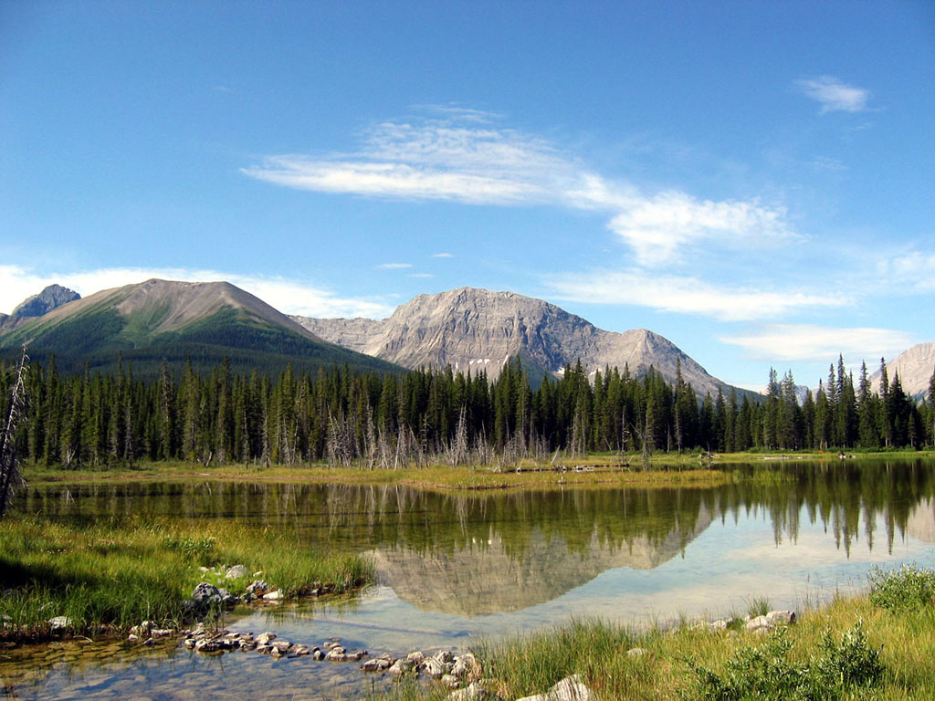
Upper Kananaskis Lake is a natural lake that was turned into a reservoir in Kananaskis Country in Alberta, Canada. Upper Kananaskis Lake, along with the Lower Kananaskis Lake, is located in Peter Lougheed Provincial Park . The lake is part of a series of natural and man made lakes in the Kananaskis and Bow Valleys used for hydro electric power, flood control, and water reserves for the Bow River water users such as the city of Calgary. The lake is also used for recreational activities, with hiking paths surrounding the lake (and cross-country skiing trails in the winter). Hiking trails *Upper Kananaskis Lake Circuit *Rawson Lake Trail *Aster Lake Route (also goes to Hidden Lake) *Three Isle Lake Trail *Maude-Lawson Trail (To Lawson Lake) *Mount Indefatigable Trail *Elk Pass Trail (To Fox, Frozen, Upper Elk, and Lower Elk Lakes) *Northover Ridge Route Climate Based on the Köppen climate classification, this vicinity is located in a subarctic climate with cold, snowy winters, a ... [...More Info...] [...Related Items...] OR: [Wikipedia] [Google] [Baidu] |
Kananaskis Country
Kananaskis Country is a multi-use area west of Calgary, Alberta, Canada in the foothills and front ranges of the Canadian Rockies. The area is named for the Kananaskis River, which was named by John Palliser in 1858 after a Cree acquaintance. Covering an area of approximately , Kananaskis Country was formed by the Alberta Government in 1978 to provide an assortment of land uses and designations. Land uses include resource extraction activities (such as forestry, cattle grazing, water, oil and gas), recreation, power generation, and residential communities. Land designations include public land and protected areas. Administration and purpose The area, which now includes Kananaskis Country, has been administered since 1945 as Improvement District No. 5 (Kananaskis). It was established by the Municipal Affairs branch of the Alberta Government for multiple uses including logging, gas and oil extraction, cattle grazing, recreation and tourism. All activities are planned and facilit ... [...More Info...] [...Related Items...] OR: [Wikipedia] [Google] [Baidu] |
Flood Control
Flood control methods are used to reduce or prevent the detrimental effects of flood waters."Flood Control", MSN Encarta, 2008 (see below: Further reading). Flood relief methods are used to reduce the effects of flood waters or high water levels. Flooding can be caused by a mix of both natural processes, such as extreme weather upstream, and human changes to waterbodies and runoff. Though building hard infrastructure to prevent flooding, such as flood walls, can be effective at managing flooding, increased best practice within landscape engineering is to rely more on soft infrastructure and natural systems, such as marshes and flood plains, for handling the increase in water. For flooding on coasts, coastal management practices have to not only handle changes water flow, but also natural processes like tides. Flood control and relief is a particularly important part of climate change adaptation and climate resilience, both sea level rise and changes in the weather (climate cha ... [...More Info...] [...Related Items...] OR: [Wikipedia] [Google] [Baidu] |
Lakes Of Alberta
This is a list of lakes in Alberta, Canada. Most of Alberta's lakes were formed during the last glaciation, about 12,000 years ago. There are many different types of lakes in Alberta, from glacial lakes in the Canadian Rockies to small shallow lakes in the prairies, brown water lakes in the northern boreal forest and muskeg, kettle holes and large lakes with sandy beaches and clear water in the central plains. Distribution of the lakes throughout the province of Alberta is irregular, with many water bodies in the wet boreal plains in the north, and very few in the semi-arid Palliser's Triangle in the southeast. __TOC__ River basins Most of Alberta's waters are drained in a general north or northeastern direction, with six major rivers forming four major watersheds collecting the water and removing it from the province: [...More Info...] [...Related Items...] OR: [Wikipedia] [Google] [Baidu] |
Elpoca Mountain
Elpoca Mountain is a mountain summit located at the southern end of the Opal Range in the Canadian Rockies of Alberta, Canada. The nearest higher peak is Mount Evan-Thomas, to the north. Elpoca Mountain is situated 4.0 kilometres south of Mount Jerram, and 2.0 km east of Gap Mountain (Alberta), Gap Mountain, and all are within Peter Lougheed Provincial Park. Precipitation Surface runoff, runoff from the west side of the mountain drains into tributaries of the Kananaskis River, whereas the east side drains into Elbow River. History "Elpoca" is a portmanteau of nearby Elbow River and Pocaterra Creek. The mountain's name was officially adopted in 1928 by the Geographical Names Board of Canada. The first ascent of the peak was made in 1960 by G. D. Elliot, H, Kirby, and P.S. Scribens. Geology Elpoca Mountain is composed of sedimentary rock laid down during the Precambrian to Jurassic periods. Formed in shallow seas, this sedimentary rock was pushed east and over the top of y ... [...More Info...] [...Related Items...] OR: [Wikipedia] [Google] [Baidu] |
Mount Lyautey
Mount Lyautey is a mountain summit located in Kananaskis Country in the Canadian Rockies of Alberta, Canada. Mount Lyautey is situated 2.0 kilometres east of the Continental Divide, within Peter Lougheed Provincial Park. Its nearest higher peak is Mount Joffre, to the south. Mount Lyautey can be seen from Upper Kananaskis Lake and Alberta Highway 40. History The mountain was named in 1918 for General Louis Hubert Gonzalve Lyautey (1854–1934), a French Army officer and Marshal of France in 1921. The mountain's name became official in 1924 by the Geographical Names Board of Canada. The first ascent of the mountain was made in 1930 by Kate (Katie) Gardiner and Walter Feuz. The duo also made the first ascents of nearby Mount Sarrail Mount Sarrail is a mountain summit located in Kananaskis Country in the Canadian Rockies of Alberta, Canada. Mount Sarrail is situated 1.0 kilometre north of the Continental Divide, within Peter Lougheed Provincial Park. Its nearest higher peak ... [...More Info...] [...Related Items...] OR: [Wikipedia] [Google] [Baidu] |
Subarctic Climate
The subarctic climate (also called subpolar climate, or boreal climate) is a climate with long, cold (often very cold) winters, and short, warm to cool summers. It is found on large landmasses, often away from the moderating effects of an ocean, generally at latitudes from 50° to 70°N, poleward of the humid continental climates. Subarctic or boreal climates are the source regions for the cold air that affects temperate latitudes to the south in winter. These climates represent Köppen climate classification ''Dfc'', ''Dwc'', ''Dsc'', ''Dfd'', ''Dwd'' and ''Dsd''. Description This type of climate offers some of the most extreme seasonal temperature variations found on the planet: in winter, temperatures can drop to below and in summer, the temperature may exceed . However, the summers are short; no more than three months of the year (but at least one month) must have a 24-hour average temperature of at least to fall into this category of climate, and the coldest month should ave ... [...More Info...] [...Related Items...] OR: [Wikipedia] [Google] [Baidu] |
Köppen Climate Classification
The Köppen climate classification is one of the most widely used climate classification systems. It was first published by German-Russian climatologist Wladimir Köppen (1846–1940) in 1884, with several later modifications by Köppen, notably in 1918 and 1936. Later, the climatologist Rudolf Geiger (1894–1981) introduced some changes to the classification system, which is thus sometimes called the Köppen–Geiger climate classification system. The Köppen climate classification divides climates into five main climate groups, with each group being divided based on seasonal precipitation and temperature patterns. The five main groups are ''A'' (tropical), ''B'' (arid), ''C'' (temperate), ''D'' (continental), and ''E'' (polar). Each group and subgroup is represented by a letter. All climates are assigned a main group (the first letter). All climates except for those in the ''E'' group are assigned a seasonal precipitation subgroup (the second letter). For example, ''Af'' indi ... [...More Info...] [...Related Items...] OR: [Wikipedia] [Google] [Baidu] |
Cross-country Ski
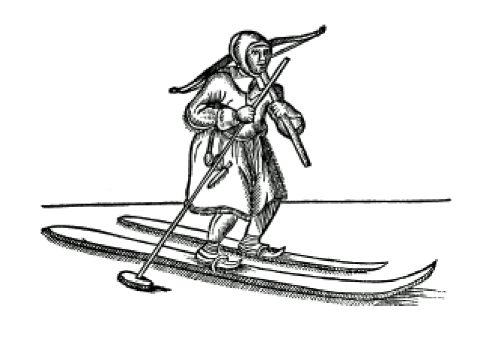
Cross-country skiing is a form of skiing where skiers rely on their own locomotion to move across snow-covered terrain, rather than using ski lifts or other forms of assistance. Cross-country skiing is widely practiced as a sport and recreational activity; however, some still use it as a means of transportation. Variants of cross-country skiing are adapted to a range of terrain which spans unimproved, sometimes mountainous terrain to groomed courses that are specifically designed for the sport. Modern cross-country skiing is similar to the original form of skiing, from which all skiing disciplines evolved, including alpine skiing, ski jumping and Telemark skiing. Skiers propel themselves either by striding forward (classic style) or side-to-side in a skating motion (skate skiing), aided by arms pushing on ski poles against the snow. It is practised in regions with snow-covered landscapes, including Europe, Canada, Russia, the United States, Australia and New Zealand. Competiti ... [...More Info...] [...Related Items...] OR: [Wikipedia] [Google] [Baidu] |
Hiking
Hiking is a long, vigorous walk, usually on trails or footpaths in the countryside. Walking for pleasure developed in Europe during the eighteenth century.AMATO, JOSEPH A. "Mind over Foot: Romantic Walking and Rambling." In ''On Foot: A History of Walking'', 101-24. NYU Press, 2004. Accessed March 1, 2021. http://www.jstor.org/stable/j.ctt9qg056.7. Religious pilgrimages have existed much longer but they involve walking long distances for a spiritual purpose associated with specific religions. "Hiking" is the preferred term in Canada and the United States; the term "walking" is used in these regions for shorter, particularly urban walks. In the United Kingdom and the Republic of Ireland, the word "walking" describes all forms of walking, whether it is a walk in the park or backpacking in the Alps. The word hiking is also often used in the UK, along with rambling , hillwalking, and fell walking (a term mostly used for hillwalking in northern England). The term bushwalking is end ... [...More Info...] [...Related Items...] OR: [Wikipedia] [Google] [Baidu] |
Bow Valley
Bow Valley is a valley located along the upper Bow River in Alberta, Canada. The name "Bow" refers to the reeds that grew along its banks and which were used by the local First Nations people to make bows; the Blackfoot language name for the river is , meaning "river where bow weeds grow". about the river. Community There are several communities in the Bow Valley, including Banff, Canmore, Kananaskis, and the hamlets of[...More Info...] [...Related Items...] OR: [Wikipedia] [Google] [Baidu] |
Reservoir
A reservoir (; from French ''réservoir'' ) is an enlarged lake behind a dam. Such a dam may be either artificial, built to store fresh water or it may be a natural formation. Reservoirs can be created in a number of ways, including controlling a watercourse that drains an existing body of water, interrupting a watercourse to form an embayment within it, through excavation, or building any number of retaining walls or levees. In other contexts, "reservoirs" may refer to storage spaces for various fluids; they may hold liquids or gasses, including hydrocarbons. ''Tank reservoirs'' store these in ground-level, elevated, or buried tanks. Tank reservoirs for water are also called cisterns. Most underground reservoirs are used to store liquids, principally either water or petroleum. Types Dammed valleys Dammed reservoirs are artificial lakes created and controlled by a dam A dam is a barrier that stops or restricts the flow of surface water or underground streams ... [...More Info...] [...Related Items...] OR: [Wikipedia] [Google] [Baidu] |
Peter Lougheed Provincial Park
Peter Lougheed Provincial Park is a provincial park located in Alberta, Canada Canada is a country in North America. Its ten provinces and three territories extend from the Atlantic Ocean to the Pacific Ocean and northward into the Arctic Ocean, covering over , making it the world's second-largest country by tot .... The park is in Kananaskis Country about west of Calgary, along the Alberta Highway 40, Kananaskis Trail. This park is within Alberta's Rockies, Alberta's Rocky Mountains. The park was originally named Kananaskis Provincial Park, but was renamed after Peter Lougheed, who served as premier of Alberta from 1971 to 1985, when he retired in 1986. One of the largest provincial parks in Alberta, it encompasses around Upper Kananaskis Lake, Kananaskis Lakes. The park provides amenities for camping and fishing along with trails for hiking, mountain biking, Equestrianism, horseback riding and cross-country skiing. There are currently six vehicular access campg ... [...More Info...] [...Related Items...] OR: [Wikipedia] [Google] [Baidu] |


