|
Utah State Route 28
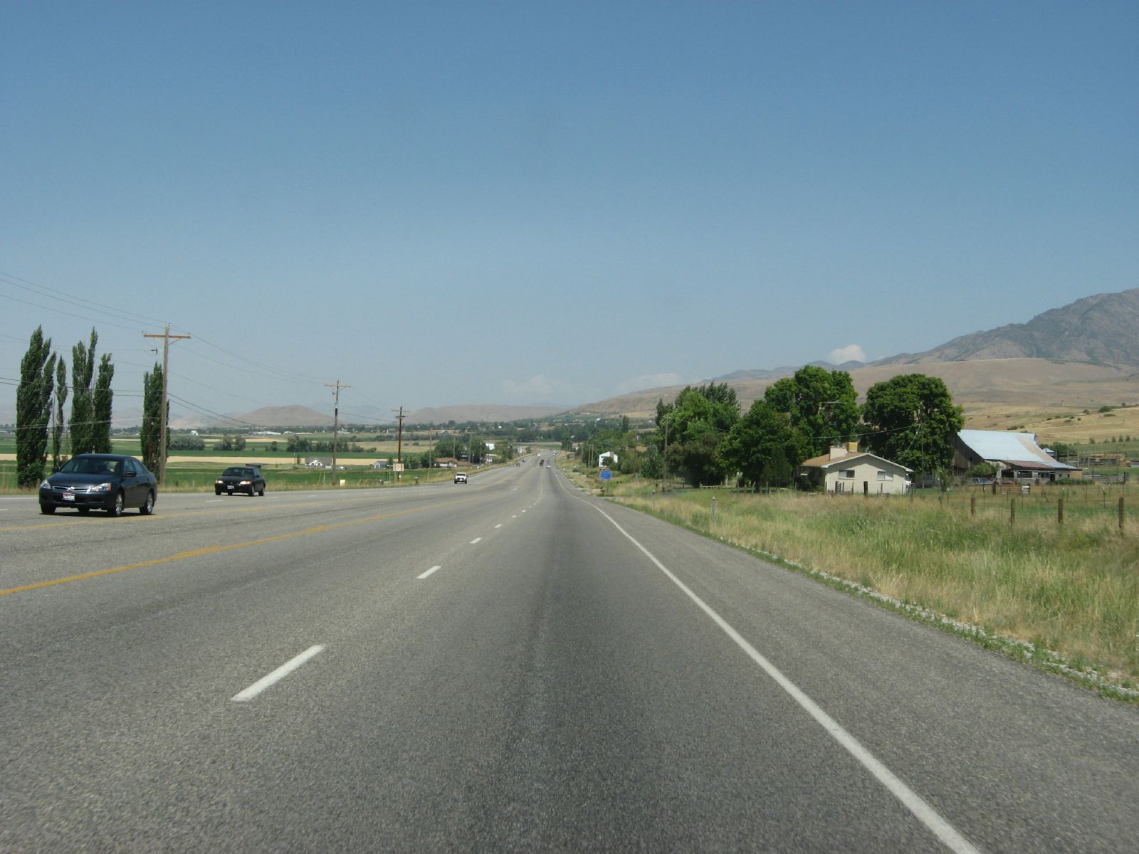
State Route 28 (SR-28) is a state highway in central Utah running for in Sanpete County, Utah, Sanpete and Juab County, Utah, Juab counties from Gunnison, Utah, Gunnison to Nephi, Utah, Nephi. It serves as a connection from the Wasatch Front to the Sevier County, Utah, Sevier Valley. Route description SR-28 begins at an intersection with U.S. Route 89 (Utah), US-89 in central Gunnison, Utah, Gunnison and heads north and northwest to Fayette, Utah, Fayette. It continues northwest past the Sevier Bridge Reservoir and northeast past the Skinner Peaks and Horse Heaven Mountain to Levan, Utah, Levan. SR-28 then continues north through Levan to Nephi, where it intersects Interstate 15 in Utah, I-15 at the south end of town and continues north along the I-15 Business Loop through Nephi, ending at an intersection with I-15 north of town. The portion of SR-28 between US-89 and the I-15 interchange south of Nephi (Exit 222) is part of the National Highway System (United States), National ... [...More Info...] [...Related Items...] OR: [Wikipedia] [Google] [Baidu] |
Gunnison, Utah
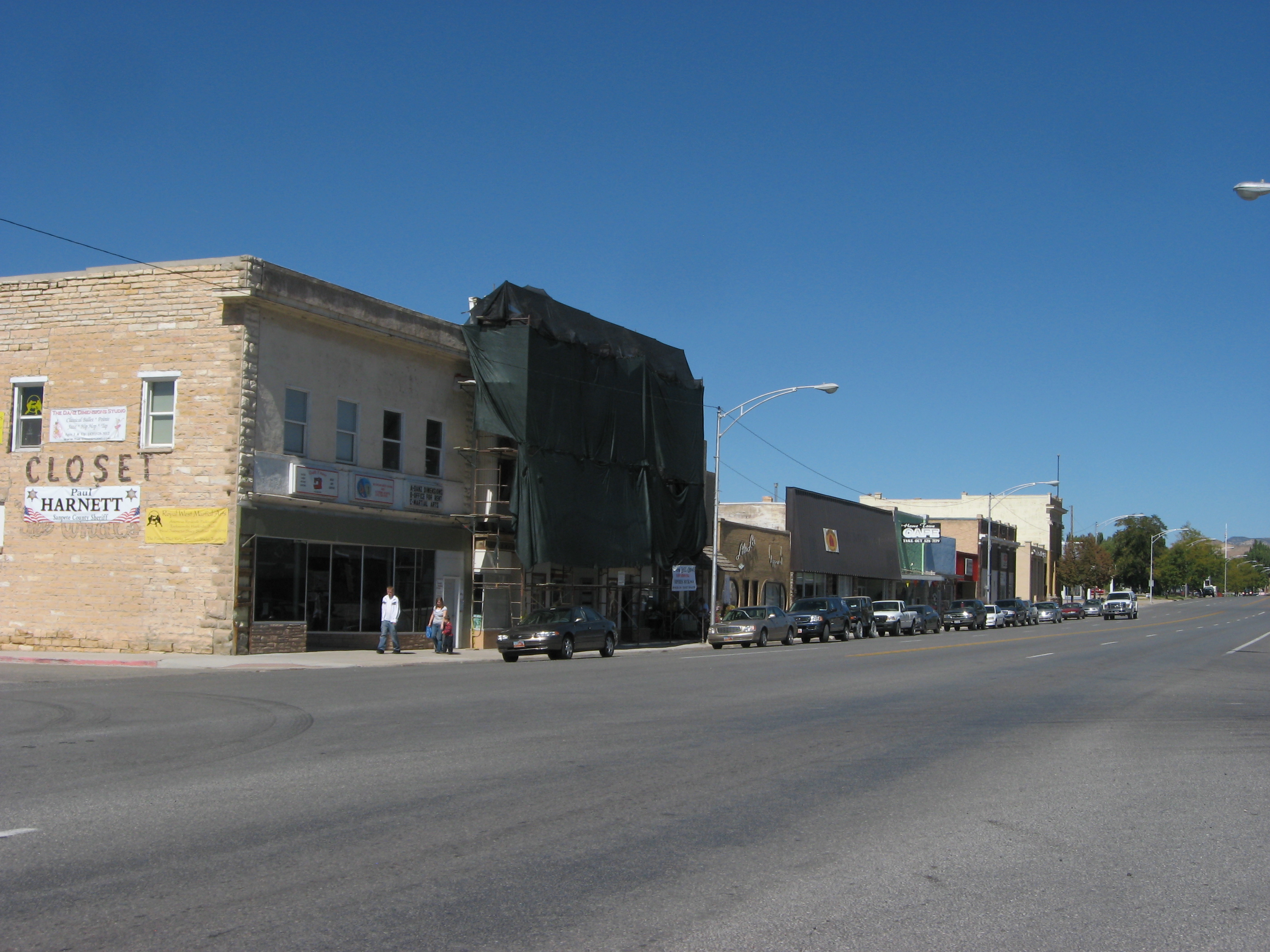
Gunnison is a city in the Sevier Valley in southwestern Sanpete County, Utah, United States. The population was 3,509 at the 2020 census. The city was named in honor of John W. Gunnison, a United States Army officer who surveyed for the transcontinental railroad in 1853. History 2007 gas spill In the summer of 2007, over of gasoline leaked from a storage tank beneath the Top Stop gas station, located on the corner of South Main and East Center and owned by Wind River Petroleum. The gasoline leaked throughout the soil beneath South Main Street and eventually throughout the southwest side of town, contaminating businesses and homes. On August 10, 2007, local and state officials ordered the temporary evacuation of an entire Main Street block, heavily populated with businesses, because of the fumes from the gasoline leak. In the weeks following, Wasatch Environmental installed underground soil-ventilation systems. Several businesses, including the Top Stop, permanently closed, ... [...More Info...] [...Related Items...] OR: [Wikipedia] [Google] [Baidu] |
US-91 (UT)
U.S. Route 91 or U.S. Highway 91 (US-91) is a north–south United States highway running from Brigham City, Utah, to Idaho Falls, Idaho, in the U.S. states of Idaho and Utah. Despite the "1" as the last digit in the number, US-91 is no longer a cross-country artery, as it has mostly been replaced by Interstate 15. The highway currently serves to connect the communities of the Cache Valley to I-15 and beyond. Prior to the mid-1970s, US 91 was an international commerce route from Long Beach, California, to the Canada–US border north of Sweetgrass, Montana. US 91 was routed on the main streets of most of the communities it served, including Las Vegas Boulevard in Las Vegas and State Street in Salt Lake City. From Los Angeles to Salt Lake, the route was built along the corridor of the Arrowhead Trail. A portion of the highway's former route in California is currently State Route 91. Route description Utah US-91 begins at Brigham City. The highway was ori ... [...More Info...] [...Related Items...] OR: [Wikipedia] [Google] [Baidu] |
State Highways In Utah
The U.S. state of Utah, the Utah Department of Transportation (UDOT) operates a system of state routes that serve all portions of the state. In official documents the state of Utah uses the term "state routes" for numbered, state maintained highways, since the legal definition of a "highway" includes any public road. UDOT signs state routes with a beehive symbol after the state's nickname of the beehive state. There are of state routes in Utah. The numbers and routes of all Utah highways are assigned by the state legislature, currently documented in Utah Code Title 72, Chapter 4. The code also defines the Utah maintained portions of Interstate and U.S. Highways. With the exception of state route numbers assigned to match U.S. Highways and Interstate Highways, Utah state route numbers are not designated per any consistent pattern, though there are a few regional clusters of sequentially numbered highways. There have been multiple changes to the numbering of state routes. Sin ... [...More Info...] [...Related Items...] OR: [Wikipedia] [Google] [Baidu] |
SR-54 (UT)
State Route 54 is a short highway completely within the town of Mona in Juab County in northern Utah that connects Main Street (old US-91) to I-15 in a span of one mile (1.6 km). Route description From its western terminus, the highway veers to the northeast and steadies out to the east. It continues this direction before it ends at a cattle guard just east of its junction with I-15. History In 1971, the State Road Commission designated a new State Route 54, connecting proposed I-15 at exit 233 with Mona. In 1975, after I-15 was completed, old US-91 through Mona (then designated SR-41) was given back to the town and Juab County.Utah Department of TransportationHighway Resolutions , updated November 2007, accessed May 2008 Major intersections References {{DEFAULTSORT:State Route 054 054 The Type 054 (NATO Codename Jiangkai I) is a class of People's Republic of China, Chinese multi-role frigate, frigates that were commissioned in the People ... [...More Info...] [...Related Items...] OR: [Wikipedia] [Google] [Baidu] |
State Road Commission (Utah)
The Utah Department of Transportation (UDOT) is an agency of the state government of Utah, United States; it is usually referred to by its initials UDOT (pronounced "you-dot"). UDOT is charged with maintaining the more than of roadway that constitute the network of state highways in Utah. The agency is headquartered in the Calvin L. Rampton state office complex in Taylorsville, Utah. The executive director is Carlos Braceras with Lisa Wilson and Teri Newell as Deputy Directors. Project priorities are set forth by the independent Utah Transportation Commission, which coordinates directly with the UDOT. Structure UDOT maintains over of highways. The department is divided into four geographically defined regions and 10 functional groups: project development; operations; program development; technology and innovation; employee development; communications; policy and legislative services; audit; and finance. While the agency has maintenance stations throughout the state, for o ... [...More Info...] [...Related Items...] OR: [Wikipedia] [Google] [Baidu] |
Mona, UT
Mona is a city in Juab County, Utah, United States. As of the 2010 census it had a population of 1,547. It is part of the Provo–Orem metropolitan area. The city is about halfway between Santaquin and Nephi along Interstate 15. The population was 850 at the 2000 census, which at the time was sufficient under Utah state law for Mona to become a city. It did so in 2001. A farm owned by Young Living raises of lavender on the north side of town. Mona is known for its annual Lavender Festival. History Mona, one of the early settlements along the old Arrowhead Trail, was originally settled in 1852. First named Clover Creek for patches of wild clover that grew along the creek in the area, it was later renamed Willow Creek for its water source, then Starr for a local settler, before receiving its present name. When he was a traveling worker and singer in the early 1930s, Burl Ives was once jailed in Mona for singing " Foggy Foggy Dew", because it was considered bawdy by the aut ... [...More Info...] [...Related Items...] OR: [Wikipedia] [Google] [Baidu] |
National Bridge Inventory
The National Bridge Inventory (NBI) is a database, compiled by the Federal Highway Administration, with information on all bridges and tunnels in the United States that have roads passing above or below them. That is similar to the grade-crossing identifier number database, compiled by the Federal Railroad Administration, which identifies all railroad crossings. The bridge information includes the design of the bridge and the dimensions of the usable portion. The data is often used to analyze bridges and to judge their condition. The inventory is developed for the purpose of having a unified database for bridges to ensure the safety of the traveling public, as required by the Federal Aid Highway Act of 1968. It includes identification information, bridge types and specifications, operational conditions, bridge data including geometric data and functional description, and inspection data. Any bridge more than 20 ft (6 m) long used for vehicular traffic is included. Description Iden ... [...More Info...] [...Related Items...] OR: [Wikipedia] [Google] [Baidu] |
Federal Highway Administration
The Federal Highway Administration (FHWA) is a division of the United States Department of Transportation that specializes in highway transportation. The agency's major activities are grouped into two programs, the Federal-aid Highway Program and the Federal Lands Highway Program. Its role had previously been performed by the Office of Road Inquiry, Office of Public Roads and the Bureau of Public Roads. History Background The organization has several predecessor organizations and complicated history. The Office of Road Inquiry (ORI) was founded in 1893. In 1905, that organization's name was changed to the Office of Public Roads (OPR) which became a division of the United States Department of Agriculture. The name was changed again to the Bureau of Public Roads in 1915 and to the Public Roads Administration (PRA) in 1939. It was then shifted to the Federal Works Agency which was abolished in 1949 when its name reverted to Bureau of Public Roads under the Department of Commerce ... [...More Info...] [...Related Items...] OR: [Wikipedia] [Google] [Baidu] |
Utah Department Of Transportation
The Utah Department of Transportation (UDOT) is an agency of the state government of Utah, United States; it is usually referred to by its initials UDOT (pronounced "you-dot"). UDOT is charged with maintaining the more than of roadway that constitute the network of state highways in Utah. The agency is headquartered in the Cal Rampton, Calvin L. Rampton state office complex in Taylorsville, Utah, Taylorsville, Utah. The executive director is Carlos Braceras with Lisa Wilson and Teri Newell as Deputy Directors. Project priorities are set forth by the independent Utah Transportation Commission, which coordinates directly with the UDOT. Structure UDOT maintains over of highways. The department is divided into four geographically defined regions and 10 functional groups: project development; operations; program development; technology and innovation; employee development; communications; policy and legislative services; audit; and finance. While the agency has maintenance stati ... [...More Info...] [...Related Items...] OR: [Wikipedia] [Google] [Baidu] |
1977 Renumbering (Utah)
In 1977, the Utah State Legislature changed its system of how state route numbers were used and assigned. Prior to 1977 Utah used a system where every U.S. Highway and Interstate Highway traversing the state was assigned a different Utah state route number. This state route number was not posted on signs, but was only used for legislative purposes, such as funding. There were many instances where having different route numbers for signing and legislative purposes could cause confusion. For example, the highway signed Interstate 15 in Utah was legislatively defined State Route 1, not route 15. State Route 15 also existed, but was a different route that passed through Zion National Park. In 1977, the state changed to a system where all highways would have the same legislative route number as its signed route number. For example, Interstate 15 would also be route 15 for legislative purposes. Many state routes were re-numbered to eliminate instances where a state route used the same n ... [...More Info...] [...Related Items...] OR: [Wikipedia] [Google] [Baidu] |
Utah State Route 163 (1968-1977)
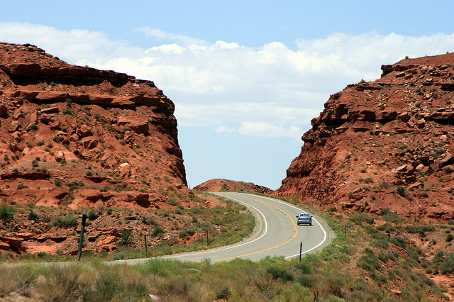
U.S. Route 163 (also U.S. Highway 163, US 163) is a U.S. Highway that runs from US 160 northward to US 191 in the U.S. states of Arizona and Utah. The southernmost of its length are within the Navajo Nation. The highway forms part of the Trail of the Ancients, a National Scenic Byway. The highway cuts through the heart of Monument Valley and has been featured in numerous movies and commercials. The highway was designated in 1970, replacing Arizona State Route 464 and Utah State Route 47 as well as a portion of the old alignment of US 160 in Utah. In 1981, US 191 was routed over the northern section of US 163, effectively truncating the northern terminus to Bluff, Utah, from Crescent Junction. The state of Utah briefly had plans for a different routing of US 163 north of Bluff. These plans were rejected, resulting in discrepancies between the signed route and the official designation by the American Association of State Highway and Transportation Officials t ... [...More Info...] [...Related Items...] OR: [Wikipedia] [Google] [Baidu] |
Levan, UT
Levan ( ) is a town in Juab County, Utah, United States. As of the 2010 census it had a population of 841, and in 2018 the estimated population was 924 (an eight year increase of 9.9%). It is often said that the name of the town derives from its location near the center of Utah, because the name is "navel" spelled backwards. Several other origins have been suggested for the name, from French, Latin, or Colorado River Numic language. Geography Levan is in eastern Juab County, in the Juab Valley at the western base of the San Pitch Mountains. Utah State Route 28 passes through the town, leading north to Nephi, the county seat, and south to Gunnison. Utah State Route 78 leads southwest from Levan to Interstate 15 near Chicken Creek Reservoir. According to the United States Census Bureau, Levan has a total area of , all land. Climate This climatic region is typified by large seasonal temperature differences, with hot summers and cold (sometimes severely cold) winters. Accord ... [...More Info...] [...Related Items...] OR: [Wikipedia] [Google] [Baidu] |


