|
USS Welles (DD-628)
USS ''Welles'' (DD-628), a , was the second ship of the United States Navy to be named for Gideon Welles. ''Welles'' was laid down on 27 September 1941 at Seattle, Washington, by the Seattle-Tacoma Shipbuilding Corp. and launched on 7 September 1942; sponsored by Mrs. Suzanne Dudley Welles Brainard. The ship was commissioned on 16 August 1943. Service history Following shakedown training along the west coast of the United States, ''Welles'' returned to Puget Sound on 26 October. After post-shakedown availability there, she got underway on 15 November in company with two British escort carriers which she escorted as far as San Diego, California. Continuing on her way, the destroyer transited the Panama Canal on 28 November and set a course for New York. She stopped along the way at Norfolk and, upon her arrival at New York on 4 December, joined Destroyer Division 38 (DesDiv 38). Ordered farther north, the warship departed New York on 26 December and arrived in Bost ... [...More Info...] [...Related Items...] OR: [Wikipedia] [Google] [Baidu] |
USS Welles (DD-628) Underway In November 1943
Two ships in the United States Navy have been named USS ''Welles'' for Gideon Welles. * The first was a , commissioned in 1919 and transferred to the Royal Navy The Royal Navy (RN) is the United Kingdom's naval warfare force. Although warships were used by English and Scottish kings from the early medieval period, the first major maritime engagements were fought in the Hundred Years' War against F ... in 1940 where she served as HMS ''Cameron'' (I05) until 1944. * The second was a , commissioned in 1943 and decommissioned in 1946. {{DEFAULTSORT:Welles, Uss United States Navy ship names ... [...More Info...] [...Related Items...] OR: [Wikipedia] [Google] [Baidu] |
Puget Sound
Puget Sound ( ) is a sound of the Pacific Northwest, an inlet of the Pacific Ocean, and part of the Salish Sea. It is located along the northwestern coast of the U.S. state of Washington. It is a complex estuarine system of interconnected marine waterways and basins, with one major and two minor connections to the open Pacific Ocean via the Strait of Juan de Fuca—Admiralty Inlet being the major connection and Deception Pass and Swinomish Channel being the minor. Water flow through Deception Pass is approximately equal to 2% of the total tidal exchange between Puget Sound and the Strait of Juan de Fuca. Puget Sound extends approximately from Deception Pass in the north to Olympia in the south. Its average depth is and its maximum depth, off Jefferson Point between Indianola and Kingston, is . The depth of the main basin, between the southern tip of Whidbey Island and Tacoma, is approximately . In 2009, the term Salish Sea was established by the United States Board o ... [...More Info...] [...Related Items...] OR: [Wikipedia] [Google] [Baidu] |
New Guinea
New Guinea (; Hiri Motu Hiri Motu, also known as Police Motu, Pidgin Motu, or just Hiri, is a language of Papua New Guinea, which is spoken in surrounding areas of Port Moresby (Capital of Papua New Guinea). It is a simplified version of Motu, from the Austronesian l ...: ''Niu Gini''; id, Papua, or , historically ) is the List of islands by area, world's second-largest island with an area of . Located in Oceania in the southwestern Pacific Ocean, the island is separated from Mainland Australia, Australia by the wide Torres Strait, though both landmasses lie on the same continental shelf. Numerous smaller islands are located to the west and east. The eastern half of the island is the major land mass of the independent state of Papua New Guinea. The western half, known as Western New Guinea, forms a part of Indonesia and is organized as the provinces of Papua (province), Papua, Central Papua, Highland Papua, South Papua, Southwest Papua, and West Papua (province), West ... [...More Info...] [...Related Items...] OR: [Wikipedia] [Google] [Baidu] |
Ellice Islands
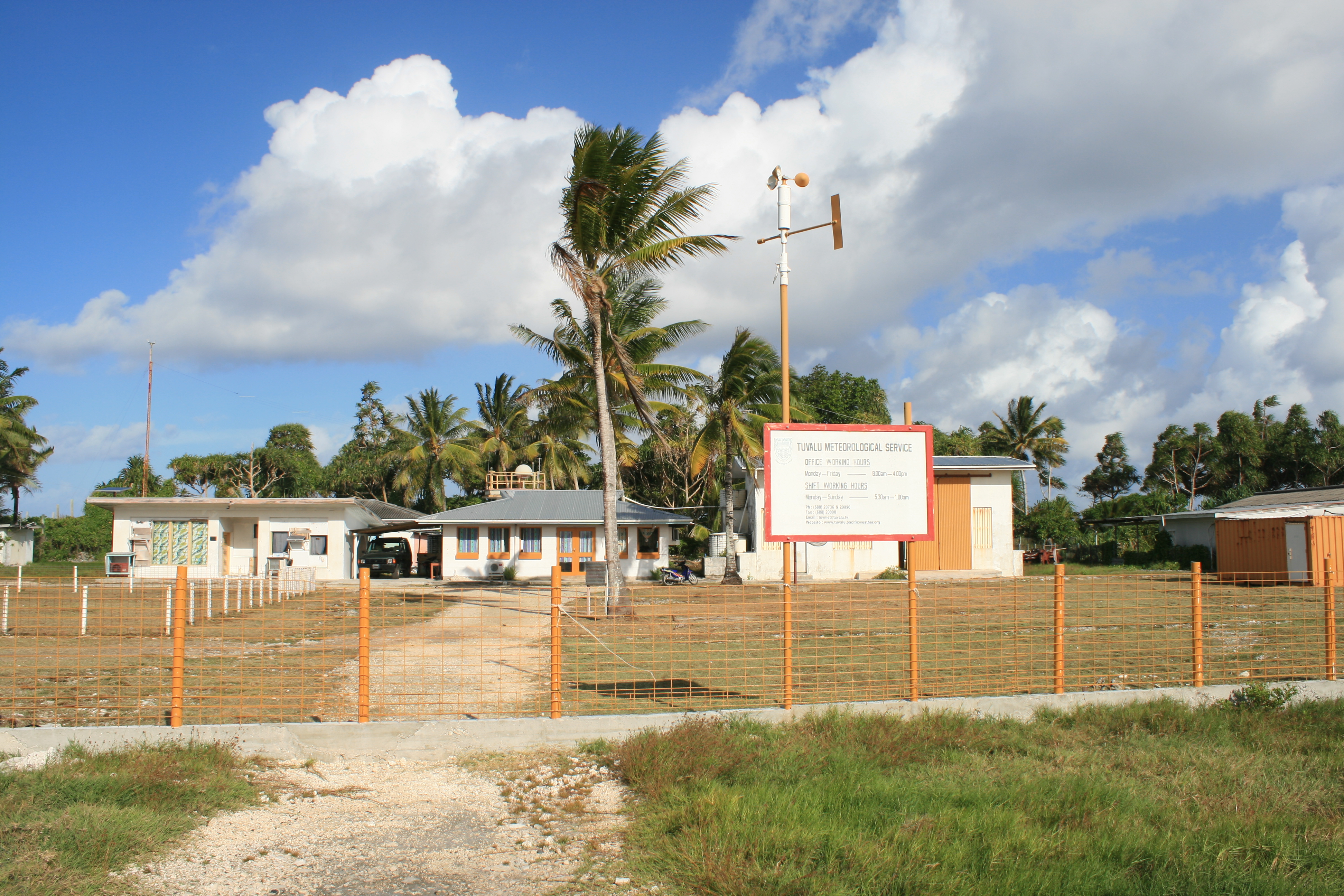
Tuvalu ( or ; formerly known as the Ellice Islands) is an island country and microstate in the Polynesian subregion of Oceania in the Pacific Ocean. Its islands are situated about midway between Hawaii and Australia. They lie east-northeast of the Santa Cruz Islands (which belong to the Solomon Islands), northeast of Vanuatu, southeast of Nauru, south of Kiribati, west of Tokelau, northwest of Samoa and Wallis and Futuna, and north of Fiji. Tuvalu is composed of three reef islands and six atolls. They are spread out between the latitude of 5° and 10° south and between the longitude of 176° and 180°. They lie west of the International Date Line. Tuvalu has a population of 10,507 (2017 census). The total land area of the islands of Tuvalu is . The first inhabitants of Tuvalu were Polynesians, according to well-established theories regarding a migration of Polynesians into the Pacific that began about three thousand years ago. Long before European contact with th ... [...More Info...] [...Related Items...] OR: [Wikipedia] [Google] [Baidu] |
Funafuti
Funafuti is the capital of the island nation of Tuvalu. It has a population of 6,320 people (2017 census), and so it has more people than the rest of Tuvalu combined, with approximately 60% of the population. It consists of a narrow sweep of land between wide, encircling a large lagoon (''Te Namo'') long and wide. The average depth of the Funafuti lagoon is about 20 fathoms (36.5 metres or 120 feet). With a surface area of , it is by far the largest lagoon in Tuvalu. The land area of the 33 islets around the atoll of Funafuti totals ; taken together, they constitute less than one percent of the total area of the atoll. Cargo ships can enter Funafuti's lagoon and dock at the port facilities on Fongafale. The capital of Tuvalu is sometimes said to be Fongafale or Vaiaku, but, officially, the entire atoll of Funafuti is its capital, since it has a single government that is responsible for the whole atoll. Fongafale The largest island is Fongafale. The island houses four villag ... [...More Info...] [...Related Items...] OR: [Wikipedia] [Google] [Baidu] |
Battleship
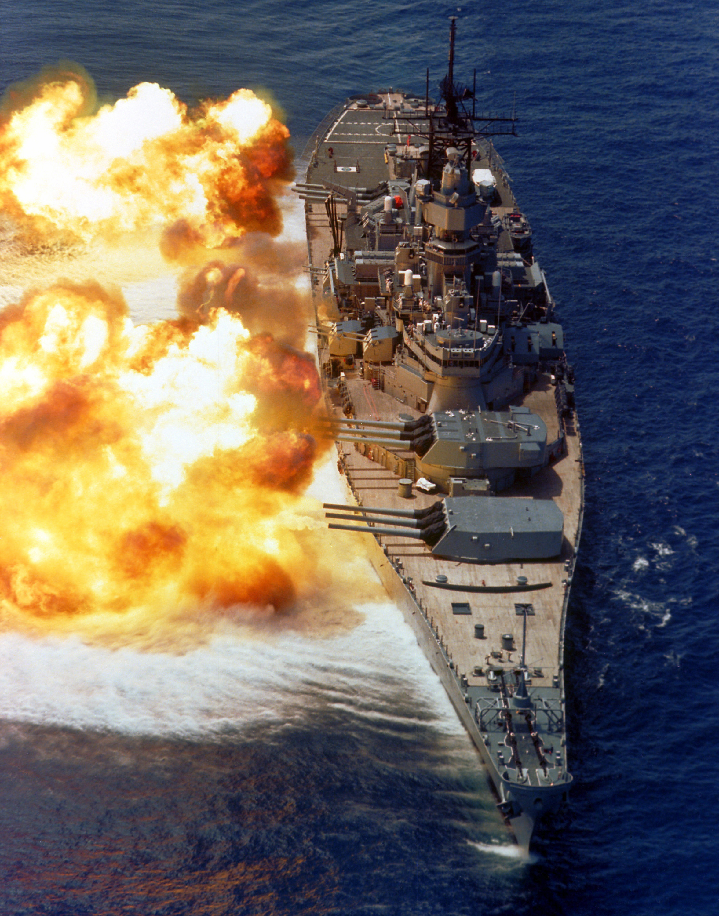
A battleship is a large armored warship with a main battery consisting of large caliber guns. It dominated naval warfare in the late 19th and early 20th centuries. The term ''battleship'' came into use in the late 1880s to describe a type of ironclad warship,Stoll, J. ''Steaming in the Dark?'', Journal of Conflict Resolution Vol. 36 No. 2, June 1992. now referred to by historians as pre-dreadnought battleships. In 1906, the commissioning of into the United Kingdom's Royal Navy heralded a revolution in the field of battleship design. Subsequent battleship designs, influenced by HMS ''Dreadnought'', were referred to as "dreadnoughts", though the term eventually became obsolete as dreadnoughts became the only type of battleship in common use. Battleships were a symbol of naval dominance and national might, and for decades the battleship was a major factor in both diplomacy and military strategy.Sondhaus, L. ''Naval Warfare 1815–1914'', . A global arms race in battleship cons ... [...More Info...] [...Related Items...] OR: [Wikipedia] [Google] [Baidu] |
Norfolk, Virginia
Norfolk ( ) is an independent city in the Commonwealth of Virginia in the United States. Incorporated in 1705, it had a population of 238,005 at the 2020 census, making it the third-most populous city in Virginia after neighboring Virginia Beach and Chesapeake, and the 94th-largest city in the nation. Norfolk holds a strategic position as the historical, urban, financial, and cultural center of the Hampton Roads region, which has more than 1.8 million inhabitants and is the thirty-third largest Metropolitan Statistical area in the United States. Officially known as ''Virginia Beach-Norfolk-Newport News, VA-NC MSA'', the Hampton Roads region is sometimes called "Tidewater" and "Coastal Virginia"/"COVA," although these are broader terms that also include Virginia's Eastern Shore and entire coastal plain. Named for the eponymous natural harbor at the mouth of the Chesapeake Bay, Hampton Roads has ten cities, including Norfolk; seven counties in Virginia; and two counties in No ... [...More Info...] [...Related Items...] OR: [Wikipedia] [Google] [Baidu] |
New York City
New York, often called New York City or NYC, is the List of United States cities by population, most populous city in the United States. With a 2020 population of 8,804,190 distributed over , New York City is also the List of United States cities by population density, most densely populated major city in the United States, and is more than twice as populous as second-place Los Angeles. New York City lies at the southern tip of New York (state), New York State, and constitutes the geographical and demographic center of both the Northeast megalopolis and the New York metropolitan area, the largest metropolitan area in the world by urban area, urban landmass. With over 20.1 million people in its metropolitan statistical area and 23.5 million in its combined statistical area as of 2020, New York is one of the world's most populous Megacity, megacities, and over 58 million people live within of the city. New York City is a global city, global Culture of New ... [...More Info...] [...Related Items...] OR: [Wikipedia] [Google] [Baidu] |
Panama Canal
The Panama Canal ( es, Canal de Panamá, link=no) is an artificial waterway in Panama that connects the Atlantic Ocean with the Pacific Ocean and divides North and South America. The canal cuts across the Isthmus of Panama and is a conduit for maritime trade. One of the largest and most difficult engineering projects ever undertaken, the Panama Canal shortcut greatly reduces the time for ships to travel between the Atlantic and Pacific oceans, enabling them to avoid the lengthy, hazardous Cape Horn route around the southernmost tip of South America via the Drake Passage or Strait of Magellan and the even less popular route through the Arctic Archipelago and the Bering Strait. Colombia, France, and later the United States controlled the territory surrounding the canal during construction. France began work on the canal in 1881, but stopped because of lack of investors' confidence due to engineering problems and a high worker mortality rate. The United States took over the ... [...More Info...] [...Related Items...] OR: [Wikipedia] [Google] [Baidu] |
California
California is a U.S. state, state in the Western United States, located along the West Coast of the United States, Pacific Coast. With nearly 39.2million residents across a total area of approximately , it is the List of states and territories of the United States by population, most populous U.S. state and the List of U.S. states and territories by area, 3rd largest by area. It is also the most populated Administrative division, subnational entity in North America and the 34th most populous in the world. The Greater Los Angeles area and the San Francisco Bay Area are the nation's second and fifth most populous Statistical area (United States), urban regions respectively, with the former having more than 18.7million residents and the latter having over 9.6million. Sacramento, California, Sacramento is the state's capital, while Los Angeles is the List of largest California cities by population, most populous city in the state and the List of United States cities by population, ... [...More Info...] [...Related Items...] OR: [Wikipedia] [Google] [Baidu] |


