|
USS Spoonbill (MSC-202)
USS ''Spoonbill'' (AMS/MSC-202) was a acquired by the US Navy for clearing coastal minefields. Construction ''Spoonbill'' was laid down 2 November 1953, by Tampa Marine Company, Tampa, Florida; launched on 3 August 1954, as AMS-202; sponsored by Mrs. A. N. Springer; redesignated as MSC-202 on 7 February 1955; and commissioned on 14 June 1955. East Coast operations ''Spoonbill'' was among the first in a group of non-magnetic minesweepers of wooden construction capable of sweeping any conventional type mine constructed at the time. On 4 July 1955, she was assigned to United States Mine Force, Atlantic Fleet, Charleston, South Carolina. After shakedown training off Key West, Florida, from 26 July to 24 August, and post-shakedown availability at Rawles Brothers' Shipyard, Jacksonville, Florida, ''Spoonbill'' returned to Charleston. Schoolship assignment She steamed from Charleston on 3 February 1956, for Yorktown, Virginia, where she was assigned duty with the Naval Mine ... [...More Info...] [...Related Items...] OR: [Wikipedia] [Google] [Baidu] |
Spoonbill
Spoonbills are a genus, ''Platalea'', of large, long-legged wading birds. The spoonbills have a global distribution, being found on every continent except Antarctica. The genus name ''Platalea'' derives from Ancient Greek and means "broad", referring to the distinctive shape of the bill. Six species are recognised, which although usually placed in a single genus have sometimes been split into three genera. All spoonbills have large, flat, spatulate bills and feed by wading through shallow water, sweeping the partly opened bill from side to side. The moment any small aquatic creature touches the inside of the bill—an insect, crustacean, or tiny fish—it is snapped shut. Spoonbills generally prefer fresh water to salt but are found in both environments. They need to feed many hours each day. Taxonomy The genus ''Platalea'' was introduced in 1758 by the Swedish naturalist Carl Linnaeus in 1758 in the tenth edition of his ''Systema Naturae''. The genus name is Latin for ... [...More Info...] [...Related Items...] OR: [Wikipedia] [Google] [Baidu] |
Shakedown Cruise
Shakedown cruise is a nautical term in which the performance of a ship is tested. Generally, shakedown cruises are performed before a ship enters service or after major changes such as a crew change, repair or overhaul. The shakedown cruise simulates working conditions for the vessel, for various reasons. For most new ships, the major reasons are to familiarise a crew with a new vessel and to ensure all of the ship's systems are functional. Overview If the ship is the first of its class, it will likely also be performing its sea trials, a test of its performance. In this context, 'shakedown cruise' and 'sea trials' may be used interchangeably, though each has a slightly different meaning. In such a case, it is likely that the ship's systems will be pushed to redline, or maximum capacity, to demonstrate the class's speed and other important traits. Until bested by another ship of the same class, this shakedown performance will be the standard of the class's capabilities, a ... [...More Info...] [...Related Items...] OR: [Wikipedia] [Google] [Baidu] |
Military Assistance Program
The Mutual Defense Assistance Act was a United States Act of Congress signed by President Harry S. Truman on 6 October 1949. For US Foreign policy, it was the first U.S. military foreign aid legislation of the Cold War era, and initially to Europe. The Act followed Truman's signing of the Economic Cooperation Act (the Marshall Plan), on April 3, 1948, which provided non-military, economic reconstruction and development aid to Europe. The 1949 Act was amended and reauthorized on July 26, 1950. In 1951, the Economic Cooperation Act and Mutual Defense Assistance Act were succeeded by the Mutual Security Act, and its newly created independent agency, the Mutual Security Administration, to supervise all foreign aid programs, including both military assistance programs and non-military, economic assistance programs that bolstered the defense capability of U.S. allies. About the same time, the Mutual Defense Assistance Control Act of 1951, also known or referred to as the Battle Ac ... [...More Info...] [...Related Items...] OR: [Wikipedia] [Google] [Baidu] |
Navy List
A Navy Directory, formerly the Navy List or Naval Register is an official list of naval officers, their ranks and seniority, the ships which they command or to which they are appointed, etc., that is published by the government or naval authorities of a country. Background The Navy List fulfills an important function in international law in that warships are required by article 29 of the United Nations Convention on the Law of the Sea to be commanded by a commissioned officer whose name appears in the appropriate service list. Past copies of the Navy List are also important sources of information for historians and genealogists. The Navy List for the Royal Navy is no longer published in hard-copy. The Royal Navy (United Kingdom) publishes annual lists of active and reserve officers, and biennial lists of retired officers. As of 2015, the Navy List of the Royal Navy has been renamed as the 'Navy Directory'. The equivalent in the United States Navy is the Naval Register, whic ... [...More Info...] [...Related Items...] OR: [Wikipedia] [Google] [Baidu] |
US East Coast
The East Coast of the United States, also known as the Eastern Seaboard, the Atlantic Coast, and the Atlantic Seaboard, is the coastline along which the Eastern United States meets the North Atlantic Ocean. The eastern seaboard contains the coastal states and areas east of the Appalachian Mountains that have shoreline on the Atlantic Ocean, namely, Maine, New Hampshire, Massachusetts, Rhode Island, Connecticut, New York, New Jersey, Delaware, Maryland, Virginia, North Carolina, South Carolina, Georgia, and Florida.General Reference Map , , 2003. Toponymy and composition T ...[...More Info...] [...Related Items...] OR: [Wikipedia] [Google] [Baidu] |
Treasure Island, California
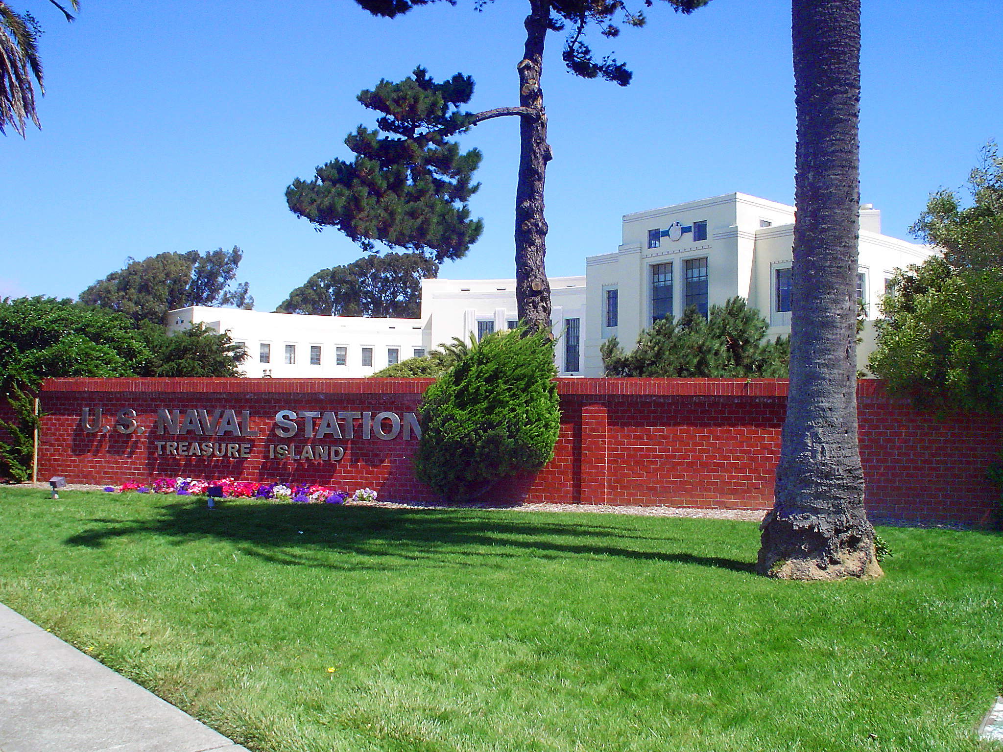
Treasure Island is an artificial island in the San Francisco Bay and a neighborhood in the City and County of San Francisco. Built in 1936–37 for the 1939 Golden Gate International Exposition, the island's World's Fair site is a California Historical Landmark. Buildings there have been listed on the National Register of Historic Places, and the historical Naval Station Treasure Island, an auxiliary air facility (for airships, blimps, dirigibles, planes and seaplanes), are designated in the Geographic Names Information System. Geography The San Francisco census tract that includes Treasure Island extends up and down the San Francisco Bay and includes a small uninhabited tip of western Alameda Island. Yerba Buena and Treasure islands together have a land area of with – in 2010 – a total population of 2,500. Treasure Island alone is 393 acres. It is connected by a causeway to Yerba Buena Island, which in turn has on- and off-ramps to Interstate 80 on the San Franci ... [...More Info...] [...Related Items...] OR: [Wikipedia] [Google] [Baidu] |
San Diego, California
San Diego ( , ; ) is a city on the Pacific Ocean coast of Southern California located immediately adjacent to the Mexico–United States border. With a 2020 population of 1,386,932, it is the eighth most populous city in the United States and the seat of San Diego County, the fifth most populous county in the United States, with 3,338,330 estimated residents as of 2019. The city is known for its mild year-round climate, natural deep-water harbor, extensive beaches and parks, long association with the United States Navy, and recent emergence as a healthcare and biotechnology development center. San Diego is the second largest city in the state of California, after Los Angeles. Historically home to the Kumeyaay people, San Diego is frequently referred to as the "Birthplace of California", as it was the first site visited and settled by Europeans on what is now the U.S. west coast. Upon landing in San Diego Bay in 1542, Juan Rodríguez Cabrillo claimed the area for Spain, ... [...More Info...] [...Related Items...] OR: [Wikipedia] [Google] [Baidu] |
Panama Canal
The Panama Canal ( es, Canal de Panamá, link=no) is an artificial waterway in Panama that connects the Atlantic Ocean with the Pacific Ocean and divides North and South America. The canal cuts across the Isthmus of Panama and is a conduit for maritime trade. One of the largest and most difficult engineering projects ever undertaken, the Panama Canal shortcut greatly reduces the time for ships to travel between the Atlantic and Pacific oceans, enabling them to avoid the lengthy, hazardous Cape Horn route around the southernmost tip of South America via the Drake Passage or Strait of Magellan and the even less popular route through the Arctic Archipelago and the Bering Strait. Colombia, France, and later the United States controlled the territory surrounding the canal during construction. France began work on the canal in 1881, but stopped because of lack of investors' confidence due to engineering problems and a high worker mortality rate. The United States took over the ... [...More Info...] [...Related Items...] OR: [Wikipedia] [Google] [Baidu] |
US West Coast
The West Coast of the United States, also known as the Pacific Coast, Pacific states, and the western seaboard, is the coastline along which the Western United States meets the North Pacific Ocean. The term typically refers to the contiguous U.S. states of California, Oregon, and Washington, but sometimes includes Alaska and Hawaii, especially by the United States Census Bureau as a U.S. geographic division. Definition There are conflicting definitions of which states comprise the West Coast of the United States, but the West Coast always includes California, Oregon, and Washington as part of that definition. Under most circumstances, however, the term encompasses the three contiguous states and Alaska, as they are all located in North America. For census purposes, Hawaii is part of the West Coast, along with the other four states. '' Encyclopædia Britannica'' refers to the North American region as part of the Pacific Coast, including Alaska and British Columbia. A ... [...More Info...] [...Related Items...] OR: [Wikipedia] [Google] [Baidu] |
Argentia, Newfoundland
Argentia ( ) is a Canadian commercial seaport and industrial park located in the Town of Placentia, Newfoundland and Labrador. It is situated on the southwest coast of the Avalon Peninsula and defined by a triangular shaped headland which reaches northward out into Placentia Bay creating a natural harbour in length. Originally settled by the French in the 1630s that fishing settlement was called Petit Plaisance, meaning "Pleasant Little Place". The name was retained in English (Little Placentia) when the French lost control of the area following the Treaty of Utrecht in 1713. The census of 1706 records 149 individuals in 14 habitations. The community adopted its present name (unofficially in 1895 and officially in 1901) for the presence of silver ore near Broad Cove Point on the east side of the harbour. The name "Argentia" is Latin, meaning "Land of Silver" and was chosen by Father John St. John, the parish priest at Holy Rosary Parish from September 18, 1895, to February ... [...More Info...] [...Related Items...] OR: [Wikipedia] [Google] [Baidu] |
Yorktown, Virginia
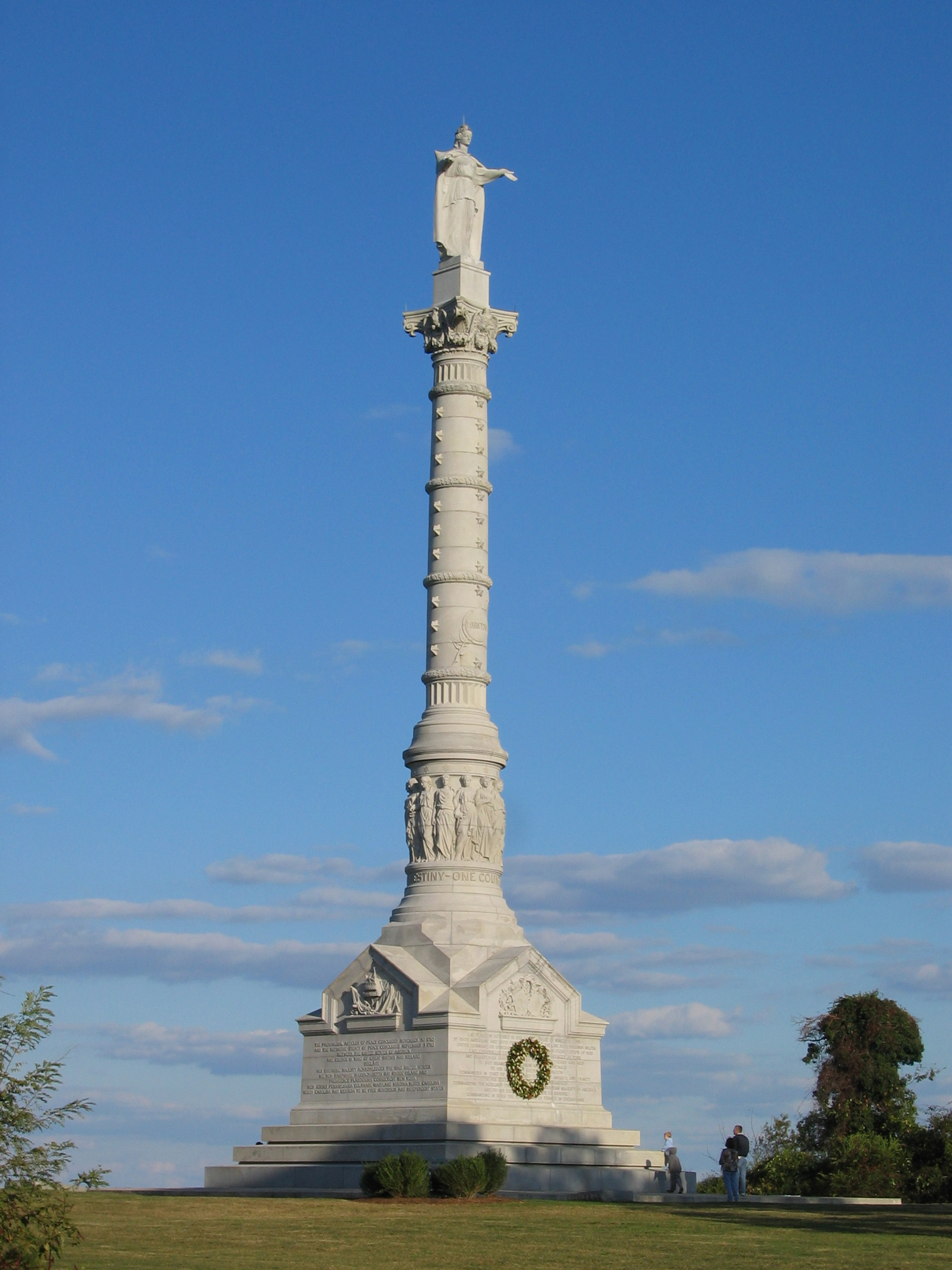
Yorktown is a census-designated place (CDP) in York County, Virginia. It is the county seat of York County, one of the eight original shires formed in colonial Virginia in 1682. Yorktown's population was 195 as of the 2010 census, while York County's population was 66,134 in the 2011 census estimate. The town is most famous as the site of the siege and subsequent surrender of General Charles Cornwallis to General George Washington and the French Fleet during the American Revolutionary War on October 19, 1781. Although the war would last for another year, this British defeat at Yorktown effectively ended the war in North America. Yorktown also figured prominently in the American Civil War (1861–1865), serving as a major port to supply both northern and southern towns, depending upon who held Yorktown at the time. Yorktown is one of three sites of the Historic Triangle, which also includes Jamestown and Williamsburg as important colonial-era settlements. It is the eastern te ... [...More Info...] [...Related Items...] OR: [Wikipedia] [Google] [Baidu] |

_during_shakedown_cruise_1959.jpg)


.jpg)

.jpg)

