|
USNS Sgt. George D. Keathley (T-APC-117)
USNS ''Sgt. George D. Keathley'', was a World War II United States cargo vessel that was used for troop transport and later converted to a survey vessel. She was laid down and launched as MS ''Alexander R. Nininger, Jr.'', then renamed MS ''Acorn Knot''. She was put into US Army service as USAT ''Acorn Knot'', then renamed USAT ''Sgt. George D. Keathley''. She was transferred to the US Navy and became USNS ''Sgt. George D. Keathley'' (T-APC-117), but was later re-designated T-AGS-35. She was leased to the Republic of China, where she served as ''Chu Hwa'' (AGS-564). Both Nininger and Keathley were posthumous Medal of Honor recipients. History The ship, a C1-M-AV1 design, was built under Maritime Commission contract (MC hull 2247), was laid down as ''Alexander R. Nininger, Jr.'', on 16 June 1944 by Walter Butler Shipbuilders Inc., Duluth, Minnesota; launched on 7 December 1944; sponsored by Mrs. G.A. Meyer; renamed ''Acorn Knot'' in February 1945; and delivered to t ... [...More Info...] [...Related Items...] OR: [Wikipedia] [Google] [Baidu] |
USNS Sgt
United States Naval Ship (USNS) is the prefix designation given to non- commissioned ships that are property of the United States Navy (USN). Definition United States Naval Ships are unarmed auxiliary support vessels owned by the U.S. Navy and operated in non-commissioned service by Military Sealift Command with a civilian crew. Some ships include a small military complement to carry out communication and special mission functions, or for force protection. In comparison, U.S. Navy ships commissioned into service have the designation " USS" and are armed, crewed by U.S. Navy personnel, and held in property by the United States Government. Additionally, the United States Naval Ships hull classification symbol begins with "T-" to denote its civilian crew. The USNS prefix can be assigned only while the ship is owned by the U.S. Navy. If, after being taken out of service, the ship is transferred to the Maritime Administration the prefix reverts to a civilian ship prefix such a ... [...More Info...] [...Related Items...] OR: [Wikipedia] [Google] [Baidu] |
Oakland, California
Oakland is the largest city and the county seat of Alameda County, California, United States. A major West Coast of the United States, West Coast port, Oakland is the largest city in the East Bay region of the San Francisco Bay Area, the third largest city overall in the Bay Area and the List of largest California cities by population, eighth most populated city in California. With a population of 440,646 in 2020, it serves as the Bay Area's trade center and economic engine: the Port of Oakland is the busiest port in Northern California, and the fifth busiest in the United States of America. An act to municipal corporation, incorporate the city was passed on May 4, 1852, and incorporation was later approved on March 25, 1854. Oakland is a charter city. Oakland's territory covers what was once a mosaic of California coastal prairie, California coastal terrace prairie, oak woodland, and north coastal scrub. In the late 18th century, it became part of a large ''rancho'' grant in t ... [...More Info...] [...Related Items...] OR: [Wikipedia] [Google] [Baidu] |
Maritime Administration
Maritime administrations, or flag state administrations, are the executive arms/state bodies of each government responsible for carrying out the shipping responsibilities of the state, and are tasked to administer national shipping and boating issues and laws within their territorial waters and for vessels flagged in that country, or that fall under their jurisdiction. The main functions are: #Government policy for ships and boating, marine safety in general, seaworthiness, safe construction and stability #Policing Dangerous goods being carried, Navigation safety, Safe manning, Certificates of Competency/licenses for crew #Health, safety and welfare of crew, civil search and rescue #Prevention and combating marine pollution and response, investigation of marine accidents #Represents country on IMO and other International Conventions National maritime organisations * Danish Maritime Safety Administration * Maritime Administration (North Korea) *Maritime Administration of Latvia ... [...More Info...] [...Related Items...] OR: [Wikipedia] [Google] [Baidu] |
Keelung
Keelung () or Jilong () (; Hokkien POJ: '), officially known as Keelung City, is a major port city situated in the northeastern part of Taiwan. The city is a part of the Taipei–Keelung metropolitan area, along with its neighbors, New Taipei City and Taipei, respectively. Nicknamed the ''Rainy Port'' for its frequent rain and maritime role, the city is Taiwan's second largest seaport (after Kaohsiung). The city was founded by the Spanish Empire in 1626, then called La Santisima Trinidad. Name According to early Chinese accounts, this northern coastal area was originally called ''Pak-kang'' (). By the early 20th century, the city was known to the Western world as Kelung, as well as the variants ''Kiloung'', ''Kilang'' and ''Keelung''. In his 1903 general history of Taiwan, US Consul to Formosa (1898–1904) James W. Davidson related that "Kelung" was among the few well-known names, thus warranting no alternate Japanese romanization. However, the Taiwanese people have ... [...More Info...] [...Related Items...] OR: [Wikipedia] [Google] [Baidu] |
Naha
is the capital city of Okinawa Prefecture, the southernmost prefecture of Japan. As of 1 June 2019, the city has an estimated population of 317,405 and a population density of 7,939 persons per km2 (20,562 persons per sq. mi.). The total area is Naha is located on the East China Sea coast of the southern part of Okinawa Island, the largest of Okinawa Prefecture. The modern city was officially founded on May 20, 1921. Before that, Naha had been for centuries one of the most important and populous sites in Okinawa. Naha is the political, economic and education center of Okinawa Prefecture. In the medieval and early modern periods, it was the commercial center of the Ryukyu Kingdom. Geography City center Central Naha consists of the Palette Kumoji shopping mall, the Okinawa Prefecture Office, Naha City Hall, and many banks and corporations, located at the west end of Kokusai-dōri, the city's main street. boasts a 1.6 kilometer (1 mile) long stretch of stores, restaurants ... [...More Info...] [...Related Items...] OR: [Wikipedia] [Google] [Baidu] |
Formosa
Taiwan, officially the Republic of China (ROC), is an island country located in East Asia. The main island of Taiwan, formerly known in the Western political circles, press and literature as Formosa, makes up 99% of the land area of the territories under ROC control. The main island measures and lies some across the Taiwan Strait from the southeastern coast of the People's Republic of China (PRC). The East China Sea lies to the north of the island, the Philippine Sea to its east, the Luzon Strait directly to its south and the South China Sea to its southwest. The ROC also controls a number of smaller islands, including the Penghu archipelago in the Taiwan Strait, the Kinmen and Matsu Islands near the PRC's coast, and some of the South China Sea Islands. Geologically, the main island comprises a tilted fault block, characterized by the contrast between the eastern two-thirds, consisting mostly of five rugged mountain ranges running parallel to the east coast, and the flat to gen ... [...More Info...] [...Related Items...] OR: [Wikipedia] [Google] [Baidu] |
Chinese People's Volunteer Army
The People's Volunteer Army (PVA) was the armed expeditionary forces deployed by the People's Republic of China during the Korean War. Although all units in the PVA were actually transferred from the People's Liberation Army under the orders of Chairman Mao Zedong, the PVA was separately constituted in order to prevent an official war with the United States. The PVA entered Korea on 19 October 1950, and completely withdrew by October 1958. The nominal commander and political commissar of the PVA was Peng Dehuai before the ceasefire agreement in 1953, although both Chen Geng and Deng Hua served as the acting commander and commissar after April 1952 due to Peng's illness. The initial (25 October – 5 November 1950) units in the PVA included 38th, 39th, 40th, 42nd, 50th, 66th Corps; totalling 250,000 men. About 3 million Chinese civilian and military personnel had served in Korea throughout the war. Background Although the United Nations Command (UN) forces were under Unit ... [...More Info...] [...Related Items...] OR: [Wikipedia] [Google] [Baidu] |
Inchon
Incheon (; ; or Inch'ŏn; literally "kind river"), formerly Jemulpo or Chemulp'o (제물포) until the period after 1910, officially the Incheon Metropolitan City (인천광역시, 仁川廣域市), is a city located in northwestern South Korea, bordering Seoul and Gyeonggi to the east. Inhabited since the Neolithic, Incheon was home to just 4,700 people when it became an international port in 1883. Today, about 3 million people live in the city, making it South Korea's third-most-populous city after Seoul and Busan. The city's growth has been assured in modern times with the development of its port due to its natural advantages as a coastal city and its proximity to the South Korean capital. It is part of the Seoul Capital Area, along with Seoul itself and Gyeonggi Province, forming the world's fourth-largest metropolitan area by population. Incheon has since led the economic development of South Korea by opening its port to the outside world, ushering in the modernization o ... [...More Info...] [...Related Items...] OR: [Wikipedia] [Google] [Baidu] |
Hungnam
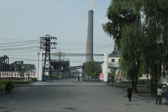
Hŭngnam is a district of Hamhung, the second largest city in North Korea. It is a port city on the eastern coast on the Sea of Japan. It is only from the slightly inland city of Hamhung. In 2005 it became a ward of Hamhung. History The port at Hŭngnam was the site of the Hŭngnam evacuation, a major evacuation of both United Nations military and North Korean civilians during the Korean War in late December 1950. Approximately 100,000 troops and material and 100,000 civilians were loaded onto a variety of merchant ships and military transports totaling 193 shiploads over the weeks leading up to Christmas 1950, and were transported to safety in Pusan and other destinations in South Korea. The evacuation included 14,000 refugees who were transported on one ship, the SS ''Meredith Victory'' - the largest evacuation from land by a single ship. This was made possible by a declaration of national emergency by President Truman issued on 16 December 1950 with Presidential Proclamati ... [...More Info...] [...Related Items...] OR: [Wikipedia] [Google] [Baidu] |
Hakata-ku, Fukuoka
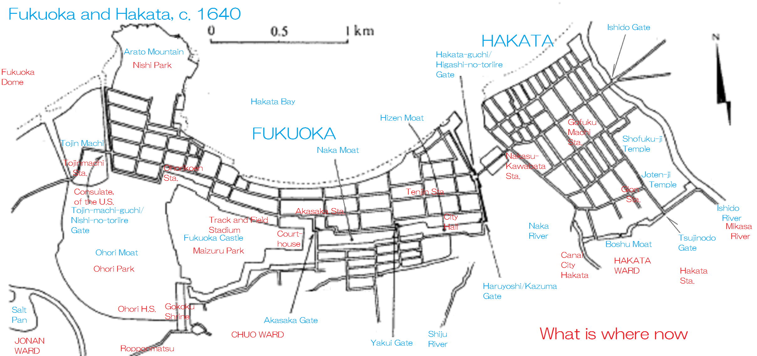
is a ward of the city of Fukuoka in Fukuoka Prefecture, Japan. Many of Fukuoka Prefecture and Fukuoka City's principal government, commercial, retail and entertainment establishments are located in the district. Hakata-ku is also the location of Fukuoka's main train station, Hakata Station, Fukuoka Airport and the Hakata Port international passenger ship terminal. Geography Hakata-ku is a ward of Fukuoka City located on its eastern edge. It is 31.47 km2 with a population of 206,629 (current January 1, 2009). Much of the ward consists of low-lying plains beside the . The northwestern end of the ward faces Hakata Bay, which includes both ferry and international cruise ship terminals . The northeast end of the ward is slightly elevated, and is named , with nearby Fukuoka Airport. Around Hakata Station is downtown; is the main dining and entertainment district of the ward along the . Hakata-ku also houses the Fukuoka Prefectural office. Economy Many Japanese companies have ... [...More Info...] [...Related Items...] OR: [Wikipedia] [Google] [Baidu] |
Army Signal Corps
The United States Army Signal Corps (USASC) is a branch of the United States Army that creates and manages communications and information systems for the command and control of combined arms forces. It was established in 1860, the brainchild of Major Albert J. Myer, and had an important role in the American Civil War. Over its history, it had the initial responsibility for portfolios and new technologies that were eventually transferred to other U.S. government entities. Such responsibilities included military intelligence, weather forecasting, and aviation. Mission statement Support for the command and control of combined arms forces. Signal support includes network operations (information assurance, information dissemination management, and network management) and management of the electromagnetic spectrum. Signal support encompasses all aspects of designing, installing, data communications networks that employ single and multi-channel satellite, tropospheric scatter, terrestrial ... [...More Info...] [...Related Items...] OR: [Wikipedia] [Google] [Baidu] |
Pusan
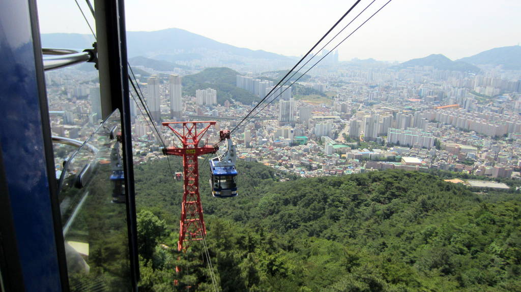
Busan (), officially known as is South Korea's most populous city after Seoul, with a population of over 3.4 million inhabitants. Formerly romanized as Pusan, it is the economic, cultural and educational center of southeastern South Korea, with its port being Korea's busiest and the sixth-busiest in the world. The surrounding "Southeastern Maritime Industrial Region" (including Ulsan, South Gyeongsang, Daegu, and some of North Gyeongsang and South Jeolla) is South Korea's largest industrial area. The large volumes of port traffic and urban population in excess of 1 million make Busan a Large-Port metropolis using the Southampton System of Port-City classification . Busan is divided into 15 major administrative districts and a single county, together housing a population of approximately 3.6 million. The full metropolitan area, the Southeastern Maritime Industrial Region, has a population of approximately 8 million. The most densely built-up areas of the city are situated in a ... [...More Info...] [...Related Items...] OR: [Wikipedia] [Google] [Baidu] |


%2C_1890.jpg)


