|
U.S. Highway 175
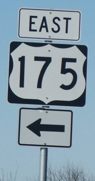
U.S. Highway 175 (US 175) is a east-west United States Numbered Highway located completely within the state of Texas. It comes very close to meeting its parent route, US 75, but decommissioning and rerouting in Downtown Dallas leaves it short a couple of miles. Before the decommissioning of US 75 south of downtown Dallas in favor of Interstate 45 (I-45), US 175 met US 75. US 175's western terminus is in Dallas at I-45. The highway's eastern terminus is in Jacksonville at an intersection with US 69. Much of the US 175 corridor (from I-20 in Balch Springs to US 69 in Jacksonville) is part of TxDOT's network of evacuation routes in the event of a hurricane. TxDOT also considers the highway an alternative to using I-20 to travel to and from Dallas-Fort Worth, and feels the corridor is an important connection for students to get to Stephen F. Austin State University in Nacogdoches, as well. Besides its hurricane evacuation route status, US 175 is considered part of the National ... [...More Info...] [...Related Items...] OR: [Wikipedia] [Google] [Baidu] |
Dallas, Texas
Dallas () is the third largest city in Texas and the largest city in the Dallas–Fort Worth metroplex, the fourth-largest metropolitan area in the United States at 7.5 million people. It is the largest city in and seat of Dallas County with portions extending into Collin, Denton, Kaufman and Rockwall counties. With a 2020 census population of 1,304,379, it is the ninth most-populous city in the U.S. and the third-largest in Texas after Houston and San Antonio. Located in the North Texas region, the city of Dallas is the main core of the largest metropolitan area in the Southern United States and the largest inland metropolitan area in the U.S. that lacks any navigable link to the sea. The cities of Dallas and nearby Fort Worth were initially developed due to the construction of major railroad lines through the area allowing access to cotton, cattle and later oil in North and East Texas. The construction of the Interstate Highway System reinforced Dallas's prominen ... [...More Info...] [...Related Items...] OR: [Wikipedia] [Google] [Baidu] |
Interstate 20 (Texas)
Interstate 20 in Texas (I-20) is a major east–west Interstate Highway in the Southern United States, running east from a junction with I-10 east of Kent, Texas, through the Dallas–Fort Worth metroplex to the border with Louisiana near Waskom, Texas. The original distance of I-20 was from I-10 to the Louisiana border, reduced to the current distance of with the rerouting of I-20 in the 1980s and 1990s. I-20 is known as the Ronald Reagan Memorial Highway within the Dallas–Fort Worth metroplex. History I-20 in Texas was designated in 1959, and was to replace or run parallel to U.S. Route 80 (US 80). Initial construction began from east to west and as bypass loops around larger cities. On October 1, 1964, I-20 was rerouted so that it followed I-35W through Fort Worth (it still followed I-35E through Dallas). By 1967, the highway was complete from the Louisiana border to the western side of Fort Worth on a route to the south of US 80, with slower constru ... [...More Info...] [...Related Items...] OR: [Wikipedia] [Google] [Baidu] |
Trinity River (Texas)
The Trinity River is a river, the longest with a watershed entirely within the U.S. state of Texas. It rises in extreme northern Texas, a few miles south of the Red River. The headwaters are separated by the high bluffs on the southern side of the Red River. Indigenous peoples call the northern sections ''Arkikosa'' and the parts closer to the coast ''Daycoa''. French explorer Robert Cavelier de La Salle, in 1687, named it ''Riviere des canoës'' ("River of Canoes"). In 1690 Spanish explorer Alonso de León named the river ''"La Santísima Trinidad"'' ("the Most Holy Trinity"), in the Spanish Catholic practice of memorializing places by religious references. Course The Trinity River has four branches: the West Fork, the Clear Fork, the Elm Fork, and the East Fork. The West Fork Trinity River has its headwaters in Archer County. From there it flows southeast, through the man-made reservoirs Lake Bridgeport and Eagle Mountain Lake, and eastward through Lake Worth and the ... [...More Info...] [...Related Items...] OR: [Wikipedia] [Google] [Baidu] |
Seagoville, Texas
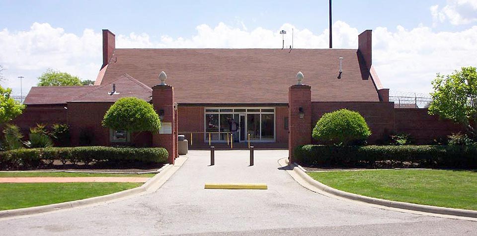
Seagoville ( ) is a city in Dallas County, Texas, United States, and a suburb of Dallas. A small portion of Seagoville extends into Kaufman County. The population was 14,835 at the 2010 census. The city is located along U.S. Highway 175, from downtown Mesquite. History Seagoville was originally called Seago, and under this name was laid out in 1876 by T. K. Seago (1836–1904), and named after him. The United States Post Office changed the town's name to "Seagoville" in 1910 to prevent confusion with another city in Texas called Sego. During World War II, the Federal Reformatory for Women in Seagoville was the site of an Immigration and Naturalization Service detention camp for Japanese, German, and Italian Americans classified as "enemy aliens" and women of Japanese and German ancestry deported from Latin America.Mak, Stephen"Seogoville (detention facility)"''Densho Encyclopedia'' (accessed 17 Jun 2014). Internees at Seagoville published a German language newsletter called th ... [...More Info...] [...Related Items...] OR: [Wikipedia] [Google] [Baidu] |
Interstate 635 (Texas)
Interstate 635 (I-635) is a partial loop around Dallas, Texas, in the United States between I-20 in Balch Springs and State Highway 121 (SH 121) at the north entrance of the Dallas/Fort Worth International Airport (DFW Airport) in Grapevine. It intersects I-35E at exits 27B and 27C, but does not connect with I-35W. A small part of I-635 and I-20 is collectively designated as the Lyndon B. Johnson Freeway; known locally as the LBJ Freeway, or simply LBJ. The roadway is named after Lyndon B. Johnson, the former US Senator from Texas, 37th Vice President, and the 36th President of the United States. Where I-635 ends at I-20, I-20 continues the LBJ Freeway designation heading west. Since the portion of I-20 between State Highway Spur 408 (Spur 408) to I-635 retains the same names as I-635, the two highways are considered 3/4 of the beltway around Dallas. Together with Spur 408, a portion of State Highway Loop 12 (Loop 12, ... [...More Info...] [...Related Items...] OR: [Wikipedia] [Google] [Baidu] |
Texas State Highway Loop 12
Loop 12 is a state highway that runs mostly within the city limits of Dallas, Texas. The western segment of the loop is named after General Walton Walker, who served and died in South Korea. During the 1950s and 1960s, Loop 12 was the outer beltway in the Dallas area, having since been supplanted by Interstate 635 (I-635), which is itself being supplanted by the President George Bush Turnpike (SH 190). Loop 12 is, however, the only state highway in Dallas that forms a complete loop ( Belt Line Road is also a complete loop but is not a state road except for a stretch as part of Farm to Market Road 1382). Route description Starting in the east at I-30, Loop 12 goes north as Buckner Boulevard, following surface streets past White Rock Lake. Just north of White Rock Lake, it intersects Spur 244 and becomes Northwest Highway to the west; because there is an eastern and a western segment to this part of the road, at certain points the road signs read "East Northwest Highway". It con ... [...More Info...] [...Related Items...] OR: [Wikipedia] [Google] [Baidu] |
Pleasant Grove, Dallas
Pleasant Grove is an area located in the southeast portion of Dallas, Texas. The Pleasant Grove area is bounded by Bruton Road to the North, Marvel Dr. on the south, Prairie Creek (the creek, not the road) on the east and the Trinity Forest on the west. History The first settlers in the Pleasant Grove area in the 1840s included W. B. Elam, who held one of the original land grant, Richard Bruton, and Cornelius Cox. By 1875 a wooden building was used as a union church and school. An early teacher at one of the schools built in the 1880s was Don Lebow, who named the school Pleasant Grove after its location in a grove of cottonwood trees. The name was then applied to both the school and the community. In 1900 Sam Street's map of Dallas County showed Pleasant Grove as a small community with a store. In 1916 the first brick schoolhouse was built. In 1937 Pleasant Grove formed its own school district, which by the late 1940s had fourteen buildings. Due to a post-World War II housing ... [...More Info...] [...Related Items...] OR: [Wikipedia] [Google] [Baidu] |
Texas State Highway 310
State Highway 310 (SH 310) is an north–south state highway located mostly within Dallas. It is a portion of the old route of U.S. Highway 75 (US 75) along the Central Expressway, which now ends in downtown Dallas. The road, located within Hutchins and South Dallas, has been replaced as the major through route by Interstate 45 (I-45). SH 310 is known as the South Central Expressway south of its intersection with Loop 12 and the S. M. Wright Freeway north of it. Route description SH 310 begins and ends at I-45. It begins at I-45 in Hutchins as an arterial road named the South Central Expressway and intersects I-20 before entering Dallas. Passing through South Dallas, SH 310 has an interchange with Loop 12, taking on the name of the S. M. Wright Freeway. At the intersection with Overton Road, SH 310 becomes an expressway and promptly crosses the Trinity River. Continuing on, SH 310 has an interchange with US 175. After intersecting a couple side roads just ... [...More Info...] [...Related Items...] OR: [Wikipedia] [Google] [Baidu] |
United States Navy
The United States Navy (USN) is the maritime service branch of the United States Armed Forces and one of the eight uniformed services of the United States. It is the largest and most powerful navy in the world, with the estimated tonnage of its active battle fleet alone exceeding the next 13 navies combined, including 11 allies or partner nations of the United States as of 2015. It has the highest combined battle fleet tonnage (4,635,628 tonnes as of 2019) and the world's largest aircraft carrier fleet, with eleven in service, two new carriers under construction, and five other carriers planned. With 336,978 personnel on active duty and 101,583 in the Ready Reserve, the United States Navy is the third largest of the United States military service branches in terms of personnel. It has 290 deployable combat vessels and more than 2,623 operational aircraft . The United States Navy traces its origins to the Continental Navy, which was established during the American Revo ... [...More Info...] [...Related Items...] OR: [Wikipedia] [Google] [Baidu] |
Bonton, Dallas
Bonton is a historically African-American neighborhood in South Dallas, Texas. The area, zip code 75215, is bounded by Hatcher St. and S Central Expressway to the North and West, respectively, and goes as far as Municipal St. and Donald St. to its East and South."Bonton Neighborhood in Dallas, Texas (TX), 75215 Detailed Profile." ''City-Data.com''. Urban Mapping, n.d. Web. 3 June 2013. Lauren Woods and Cynthia Mulcahy, artists/researchers, put forth in their Dallas Historical Parks Project, that the name "Bon Ton" is possibly to be derived from the French expression "''bon ton''," translating to high society, fashionable manner, or style. This was a popular adjective in black society in the early 20th century. Advertisements in local black newspapers like ''The Dallas Express'', used the phrase "High Classed, Bon Ton, Restricted Residences for Negroes" to describe the new housing developments in this area of South Dallas. Bonton was also once closely linked to the black arts and cult ... [...More Info...] [...Related Items...] OR: [Wikipedia] [Google] [Baidu] |


