|
Tunulliarfik Fjord
Tunulliarfik Fjord (old spelling: ''Tunugdliarfik'') is a fjord near Qaqortoq in the Kujalleq municipality in southern Greenland. It is the inner section of Skovfjord (Skovfjorden). In times of the Norse settlement in southern Greenland, it was known as ''Eiriksfjord''. Geography The fjord head at approximately is formed by the estuary of a river flowing from the glacial outflow lake in Johan Dahl Land. At approximately , south of the Narsarsuaq settlement, the fjord is joined by its tributary Qooroq Fjord from the northeast, changing direction from southern into southwestern. Bounded by long peninsulas and low-lying islands from the southeast and the northwest, it has its mouth in the Skovfjord which empties in Labrador Sea at approximately .Ivittuut/Narsarsuaq/Qaqortoq, Saga Map, Tage Schjøtt, 1992 The Narsaq Sound, between the peninsula forming the northern shore of Tunulliarfik Fjord and Tuttutooq and Illutaliq islands, connects with neighbouring Bredefjord and Nord ... [...More Info...] [...Related Items...] OR: [Wikipedia] [Google] [Baidu] |
Greenland
Greenland ( kl, Kalaallit Nunaat, ; da, Grønland, ) is an island country in North America that is part of the Kingdom of Denmark. It is located between the Arctic and Atlantic oceans, east of the Canadian Arctic Archipelago. Greenland is the world's largest island. It is one of three constituent countries that form the Kingdom of Denmark, along with Denmark and the Faroe Islands; the citizens of these countries are all citizens of Denmark and the European Union. Greenland's capital is Nuuk. Though a part of the continent of North America, Greenland has been politically and culturally associated with Europe (specifically Norway and Denmark, the colonial powers) for more than a millennium, beginning in 986.The Fate of Greenland's Vikings , by Dale Mackenzie Brown, ''Archaeological Institute of America'', ... [...More Info...] [...Related Items...] OR: [Wikipedia] [Google] [Baidu] |
Igaliku
Igaliku is a settlement in the Kujalleq municipality in southern Greenland. The town was founded as Igaliko in 1783 by the trader and colonial administrator Anders Olsen and Greenlandic wife Tuperna. In 2020, Igaliku had 21 inhabitants. The nearby Norse ruins of Garðar and the farms surrounding the town were inscribed on the UNESCO World Heritage List in 2017 as part of the Kujataa Greenland: Norse and Inuit Farming at the Edge of the Ice Cap site. Geography Igaliku is located southeast of Narsarsuaq, on a peninsula jutting off the mainland of Greenland near the eastern shore of upper Tunulliarfik Fjord.Ivittuut/Narsarsuaq/Qaqortoq, Saga Map, Tage Schjøtt, 1992 Access to Igaliku from Narsarsauq is cheaper and easier by landing at the small harbor of Itilleq and then crossing the isthmus 4 km (2.5 mi). Landmarks and sights Igaliku is best known for the ruins of Garðar, once the religious heart of 12th-century Norse Greenland. The area was at the very he ... [...More Info...] [...Related Items...] OR: [Wikipedia] [Google] [Baidu] |
Nanortalik
Nanortalik (), formerly Nennortalik, is a town in Nanortalik Island, Kujalleq municipality, southern Greenland. With 1,185 inhabitants as of 2020, it is the eleventh-largest town in the country. The name ''Nanortalik'' means "Place of Polar Bears" or "Place Where the Polar Bears Go" (from kl, nanoq). It is the southernmost town in Greenland with a population of over 1,000. History Because of its location, this area was one of the first parts of Greenland settled by the Norse and one of the last settled by the Inuit. The town was founded in 1770 as Nennortalik. In 1797, a permanent trading depot was set up in Nanortalik by traders from Julianehåb. Due to poor harbour facilities, the town was moved three kilometers northward in 1830, where it remains today. Of the old town, only some scattered ruins remain. Geography Nanortalik is located on a small island (also named Nanortalik) on the shores of the Labrador Sea, roughly 100 km north of Cape Farewell, the southern tip ... [...More Info...] [...Related Items...] OR: [Wikipedia] [Google] [Baidu] |
Alluitsup Paa
Alluitsup Paa (old spelling prior to the orthography reform in 1973: ''Agdluitsup pâ'') is a village in the Kujalleq municipality in southern Greenland. Alluitsup Paa had 202 residents in 2020. Presently, the community's religious activities take place in Qaqortoq. History The Alluitsup Paa area was the southern point of a district known to the Norse as Vatnahverfi during the 10th–15th centuries. There are seven known sites from the Norse period within a few kilometres of the modern village, although the Norse generally preferred to settle further inland. The settlement was founded as the trading station Sydprøven ("South Prøven") in 1830, to distinguish it from Nordprøven ("North Prøven", modern day Narsaq) which had been established earlier the same year. The Greenlandic name simply means "''outside of Alluitsoq''", further giving emphasis to the now-abandoned village of Alluitsoq. Until December 31, 2008, the town was the second-largest population center of Nanortali ... [...More Info...] [...Related Items...] OR: [Wikipedia] [Google] [Baidu] |
Paamiut
Paamiut, formerly Frederikshåb, is a town in southwestern Greenland in the Sermersooq municipality. Geography Paamiut is located on the coast of Labrador Sea in the southern end of a small estuary called Kuannersooq ("Inlet"). History People have lived in the Paamiut area since around 1500 BC . The name Paamiut is Kalaallisut for "Those who Reside by the Mouth (of the fiord)". The trading post of Frederikshaab (sometimes anglicized as Frederick's Hope) was established by Jacob Severin's company in 1742Marquardt, Ole.Change and Continuity in Denmark's Greenland Policy in ''The Oldenburg Monarchy: An Underestimated Empire?''. Verlag Ludwig (Kiel), 2006. and named in honor of the Crown Prince Frederick (later King Frederick V of Denmark).Del, Anden.''Grønland som del af den bibelske fortælling – en 1700-tals studie''" Greenland as Part of the Biblical Narrative – a Study of the 18th-Century" The community prospered on trading fur and whale products. It also beca ... [...More Info...] [...Related Items...] OR: [Wikipedia] [Google] [Baidu] |
Kangerlussuaq
Kangerlussuaq (; ; da, Søndre Strømfjord), is a settlement in western Greenland in the Qeqqata municipality located at the head of the fjord of the same name. It is Greenland's main air transport hub and the site of Greenland's largest commercial airport. The airport dates from American settlement during and after World War II, when the site was known as Bluie West-8 and then Sondrestrom Air Base. The Kangerlussuaq area is also home to Greenland's most diverse terrestrial fauna, including muskoxen, caribou, and gyrfalcons. The settlement's economy and population of 508 is almost entirely reliant on the airport and tourist industry. Geography Kangerlussuaq occupies an alluvial flatland on the far end of the 190 km long Kangerlussuaq Fjord, straddling both sides of the Qinnguata Kuussua river estuary. East of Kangerlussuaq there is a confluence of the two major regional rivers, the Qinnguata Kuussua and Akuliarusiarsuup Kuua. The valley of the latter forms large quicksa ... [...More Info...] [...Related Items...] OR: [Wikipedia] [Google] [Baidu] |
Nuuk
Nuuk (; da, Nuuk, formerly ) is the capital and largest city of Greenland, a constituent country of the Kingdom of Denmark. Nuuk is the seat of government and the country's largest cultural and economic centre. The major cities from other countries closest to the capital are Iqaluit and St. John's in Canada and Reykjavík in Iceland. Nuuk contains a third of Greenland's population and its tallest building. Nuuk is also the seat of government for the Sermersooq municipality. In January 2021, it had a population of 18,800. The city was founded in 1728 by the Dano-Norwegian missionary Hans Egede when he relocated from the earlier Hope Colony () where he arrived in 1721. The governor Claus Paarss was part of the relocation. The new colony was placed at the Inuit settlement of Nûk and was named ''Godthaab'' ("Good Hope"). "Nuuk" is the Greenlandic word for "cape" ( da, næs) and is commonly found in Greenlandic place names. It is so named because of its position at the end of t ... [...More Info...] [...Related Items...] OR: [Wikipedia] [Google] [Baidu] |
STOL
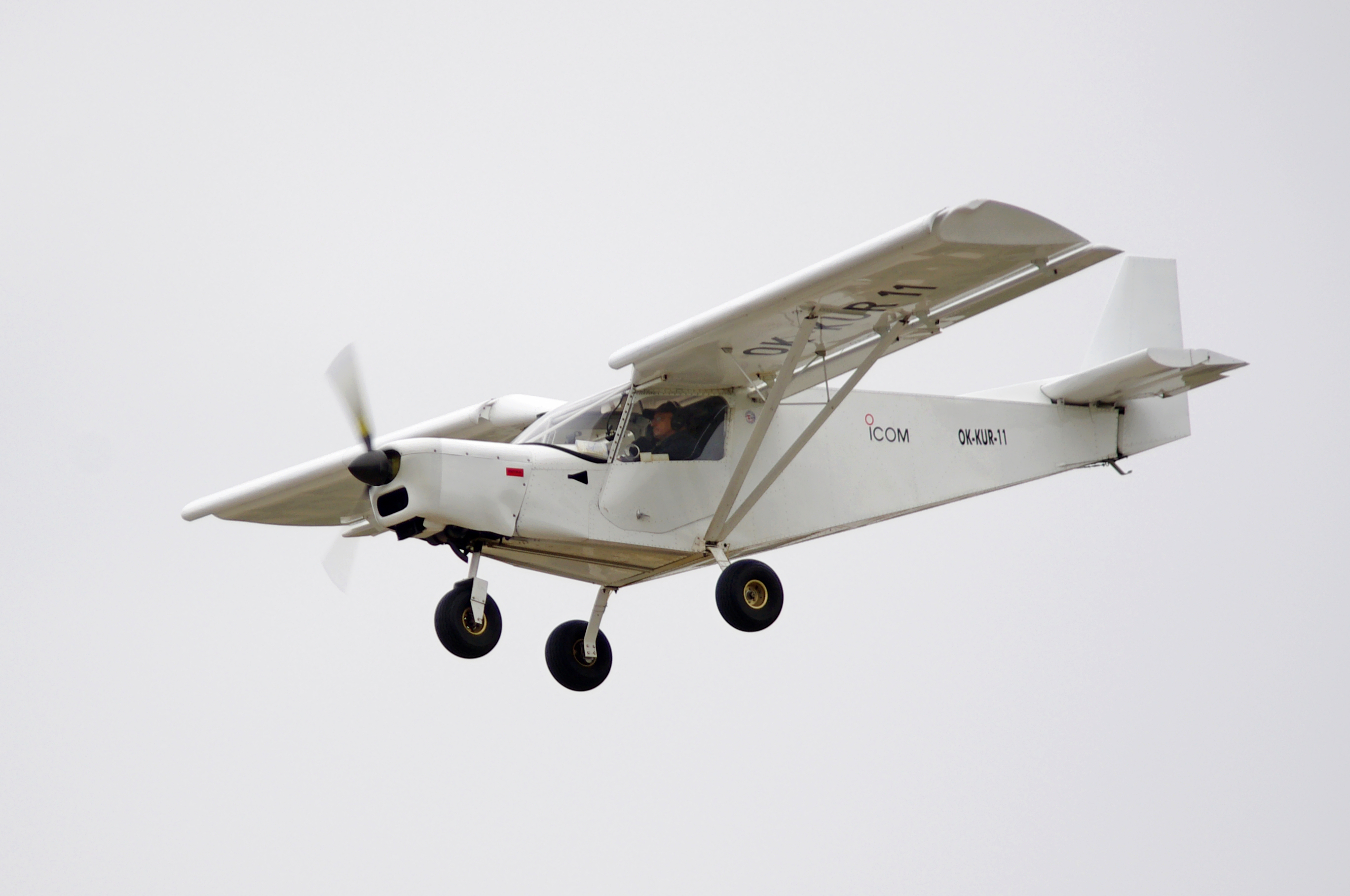
A short takeoff and landing (STOL) aircraft is a conventional fixed-wing aircraft that has short runway requirements for takeoff and landing. Many STOL-designed aircraft also feature various arrangements for use on airstrips with harsh conditions (such as high altitude or ice). STOL aircraft, including those used in scheduled passenger airline operations, have also been operated from STOLport airfields which feature short runways. Design considerations Many fixed-wing STOL aircraft are bush planes, though some, like the de Havilland Canada Dash-7, are designed for use on prepared airstrips; likewise, many STOL aircraft are taildraggers, though there are exceptions like the PAC P-750 XSTOL, the Quest Kodiak, the de Havilland Canada DHC-6 Twin Otter and the Peterson 260SE. Autogyros also have STOL capability, needing a short ground roll to get airborne, but capable of a near-zero ground roll when landing. Runway length requirement is a function of the square of the minimum ... [...More Info...] [...Related Items...] OR: [Wikipedia] [Google] [Baidu] |
Narsarsuaq Airport
Narsarsuaq Airport ( kl, Mittarfik Narsarsuaq) is an airport located in Narsarsuaq, a settlement in the Kujalleq municipality in southern Greenland. Along with Kangerlussuaq Airport, it is one of two airports in Greenland capable of serving large airliners. It is also the only international airport in southern Greenland. The settlement it serves is small, with the airport primarily functioning as a transfer point for passengers heading for the helicopter hubs of Air Greenland in Qaqortoq and Nanortalik. The airport is to be closed in 2025 when Qaqortoq Airport is scheduled to open. History World War II The airfield at Narsarsuaq was first built by the United States Department of War (now the Department of Defense) as an army airbase, its construction beginning in July 1941 and the first aircraft landing in January 1942. During World War II the airbase−codenamed ''Bluie West One''−hosted squadrons of PBY Catalina flying boats and B-25 Mitchell bombers with the assignme ... [...More Info...] [...Related Items...] OR: [Wikipedia] [Google] [Baidu] |
Narsaq Heliport
Narsaq Heliport is a heliport in the northwestern part of Narsaq, a town in the Kujalleq municipality, in southern Greenland. The route of the Arctic Umiaq Line no longer extends to Narsarsuaq during summer, hence the need for Europe-bound passengers to transfer in Narsaq Heliport, with several daily departures to Narsarsuaq. The distance to Narsarsuaq Airport, the only airport with flights from Narsaq, is . Airlines and destinations Photographs File:Narsaq-heliport-checkin-desk.jpg, Air Greenland check-in desk File:Narsaq-heliport-departure-lounge.jpg, Departure lounge File:Narsaq-heliport-fuel-truck.jpg, Fuel truck by the entrance File:Narsaq-heliport-sikorsky-s61n-from-qaqortoq.jpg, Air Greenland Sikorsky S-61N helicopter, incoming from Qaqortoq Heliport, bound for Narsarsuaq Airport Narsarsuaq Airport ( kl, Mittarfik Narsarsuaq) is an airport located in Narsarsuaq, a settlement in the Kujalleq municipality in southern Greenland. Along with Kangerlussuaq Airpo ... [...More Info...] [...Related Items...] OR: [Wikipedia] [Google] [Baidu] |
Arctic Umiaq Line
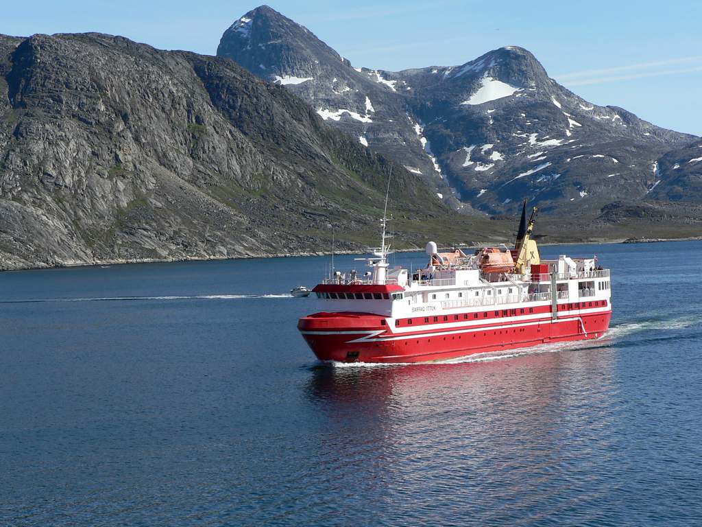
Arctic Umiaq Line A/S (AUL) or Arctic Umiaq is a passenger and freight shipping line in Greenland. Its name derives from the Kalaallisut word for the traditional Inuit passenger boat, the umiak, distinguished from the kayak, used for hunting. The sea connection provided by Arctic Umiaq is a lifeline for the entire western and southwestern Greenland. It is a wholly owned subsidiary of the Royal Arctic Line. History Arctic Umiaq Line was founded in 2006. Like many Greenlandic companies, it can trace its operations to former divisions of the Royal Greenland Trade Department before its 1986 handover to the Greenland Home Rule Government. Since 2007, Arctic Umiaq Line has been operating at a deficit, with the CEO Søren Grønhøj Andersen sued for mismanagement. The company carried fewer passengers for the first nine months of 2009 than in the comparable period of the previous year. The Greenland Home Rule Government has continued to provide loss guarantees to the joint owners. I ... [...More Info...] [...Related Items...] OR: [Wikipedia] [Google] [Baidu] |


